
- Brief description
-
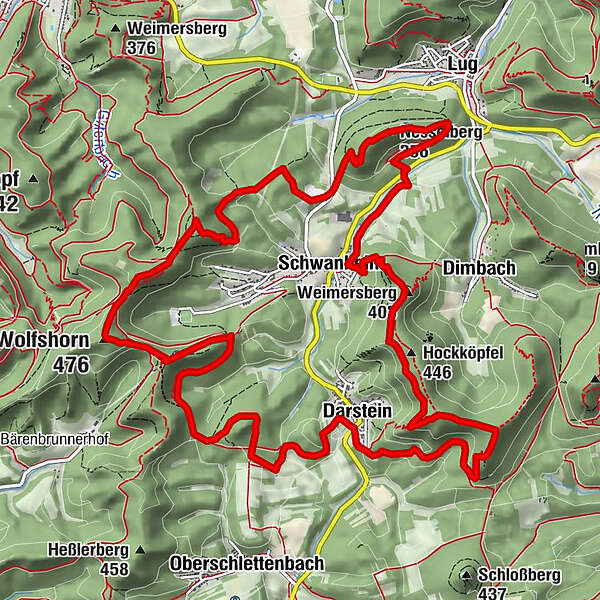
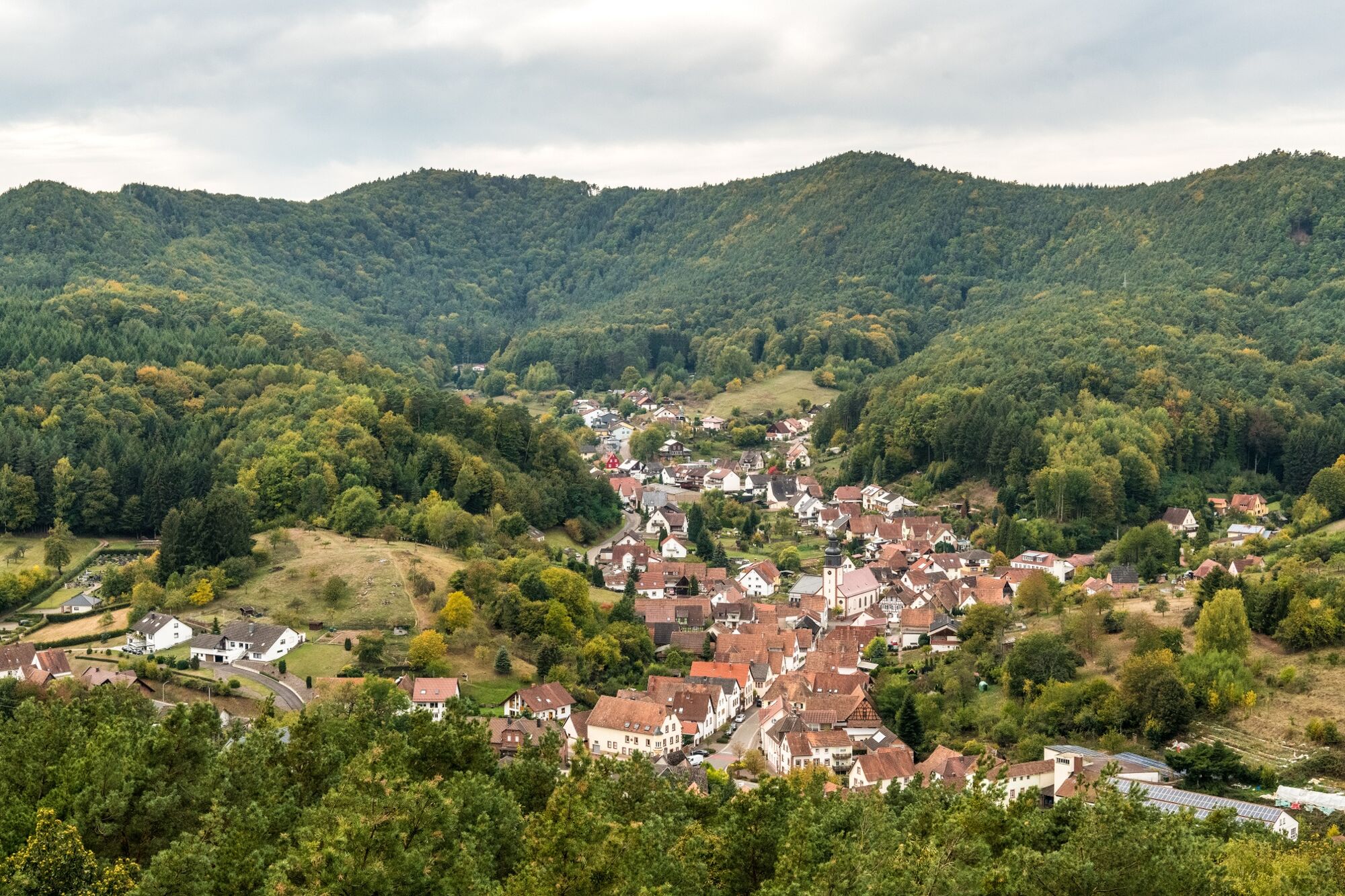
The Rimbach Steig is a challenging trail. It leads along a range of hills around the two villages of Darstein and Schwanheim and winds through the valley that connects the two villages. The trail has a total length of 17 km. The total walking time is about 7 hours.
- Difficulty
-
difficult
- Rating
-
- Starting point
-
parking area in Darstein
- Route
-
Darstein0.0 kmPlätzel am Dreiländereck2.2 kmHäuselstein (422 m)3.0 kmHockköpfel (446 m)3.6 kmWeimersberg (403 m)4.2 kmHockerstein4.7 kmMariengrotte Schwanheim5.1 kmSchwanheim5.2 kmLug7.0 kmNesselbergfelsen7.1 kmNesselbergfelsen7.2 kmNesselberg (356 m)7.6 kmNesselberg8.0 kmHühnerstein10.8 kmHahnen-Stein (468 m)11.2 kmWolfshorn (476 m)11.9 kmKhyberpass12.3 kmDarstein16.7 km
- Best season
-
JanFebMarAprMayJunJulAugSepOctNovDec
- Description
-
The hike starts at the car park at the cemetery in Darstein. From there you also have the highest ascent to the 463-metre-high Immersberg. There, the trail descends into the valley again, over the Häuselstein, the Hockköpfel and the Hockerstein to the Lourdes Grotto in Schwanheim. A section of the trail runs along the village until you finally reach the Nesselberg, from where you can enjoy unique views. The rest of the trail now runs through the forest to the Hühnerstein. From there you have an unforgettable view over the Palatinate Forest. Continuing along the trail, you come to the Kühhunger rock, where there is also a place to stop for refreshments, the Wasgauhütte. Continue over the Haselstein back to the starting point.
The tour requires a certain amount of fitness, but can also be hiked in several sections; the intermediate descents are well signposted.
The hiking trail has a length of 17 km.
The pure walking time is about 7 hours.Hiking blogger Markus Balkow reports on the Rimbach-Steig, with great pictures, read more under "Beautiful view".
- Directions
-
A challenging trail with many highlights
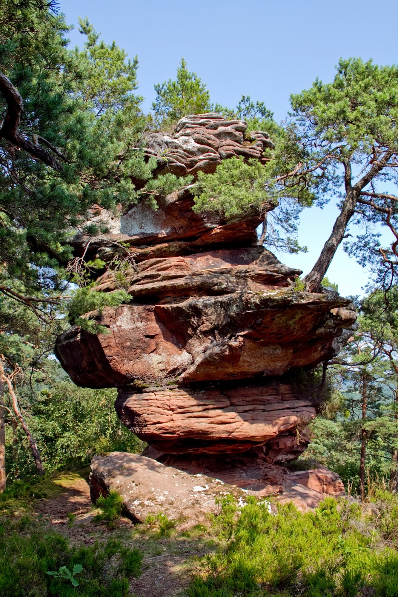
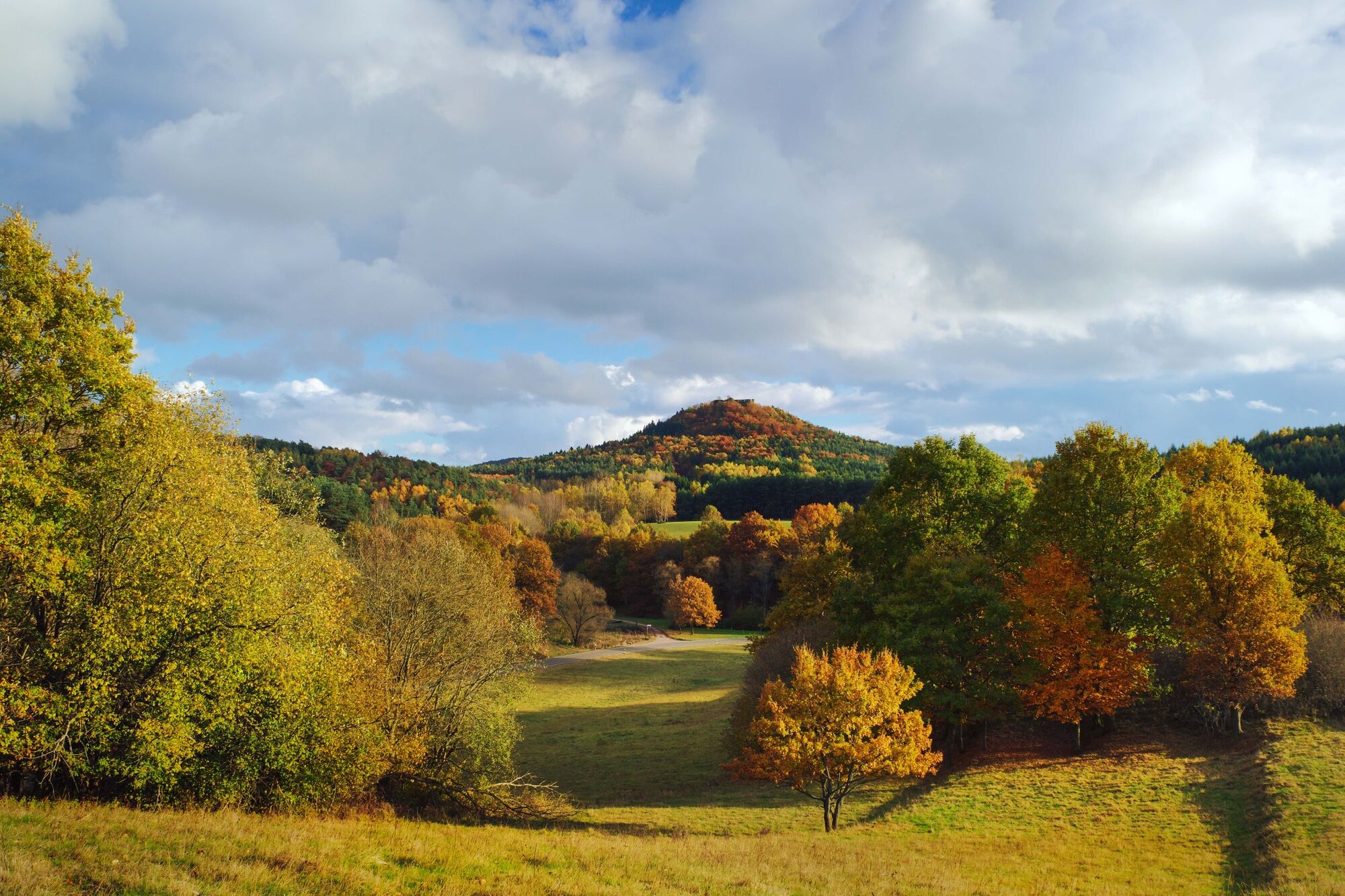
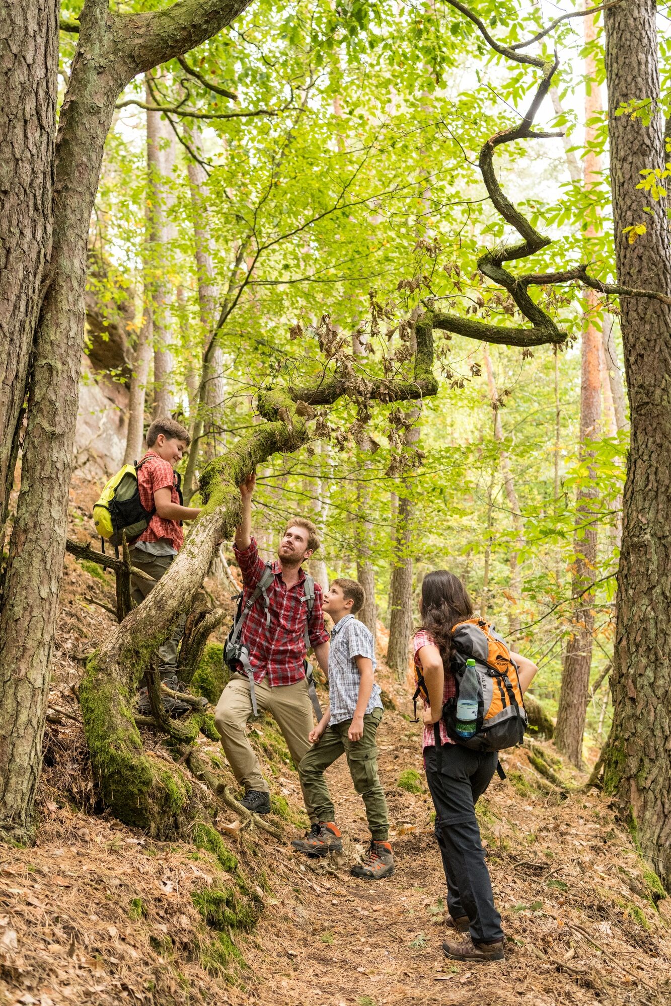
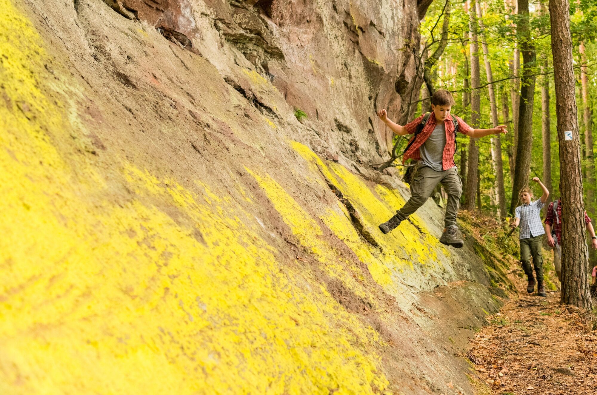
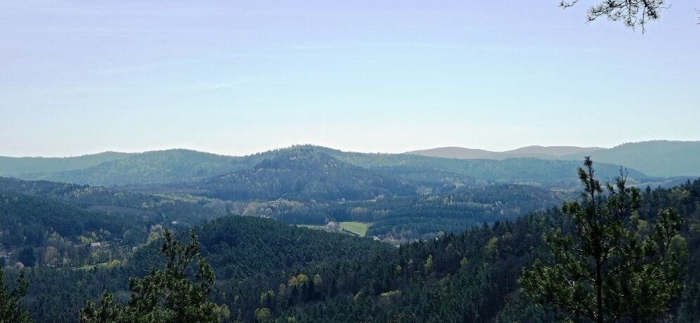
Romantic meadows, uplifting vistas and impressive rock formations can be seen along the almost 17 kilometre long premium trail "Palatinate Rimbach-Steig" around the idyllic Rimbachtal with its two villages Schwanheim and Darstein. In total, over 800 vertical metres have to be climbed – a real challenge, even for hikers with a good condition.
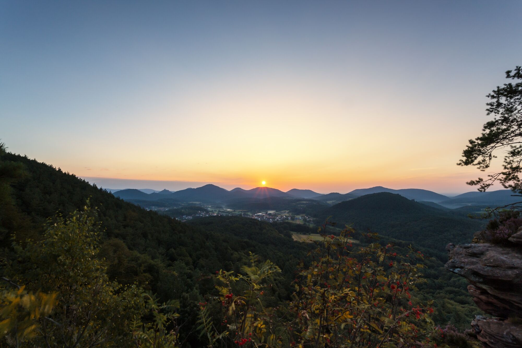
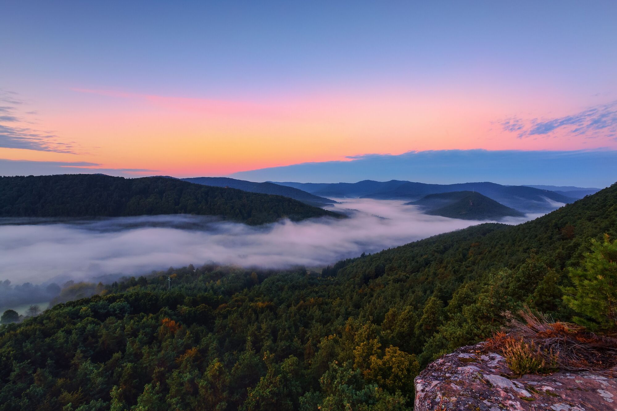
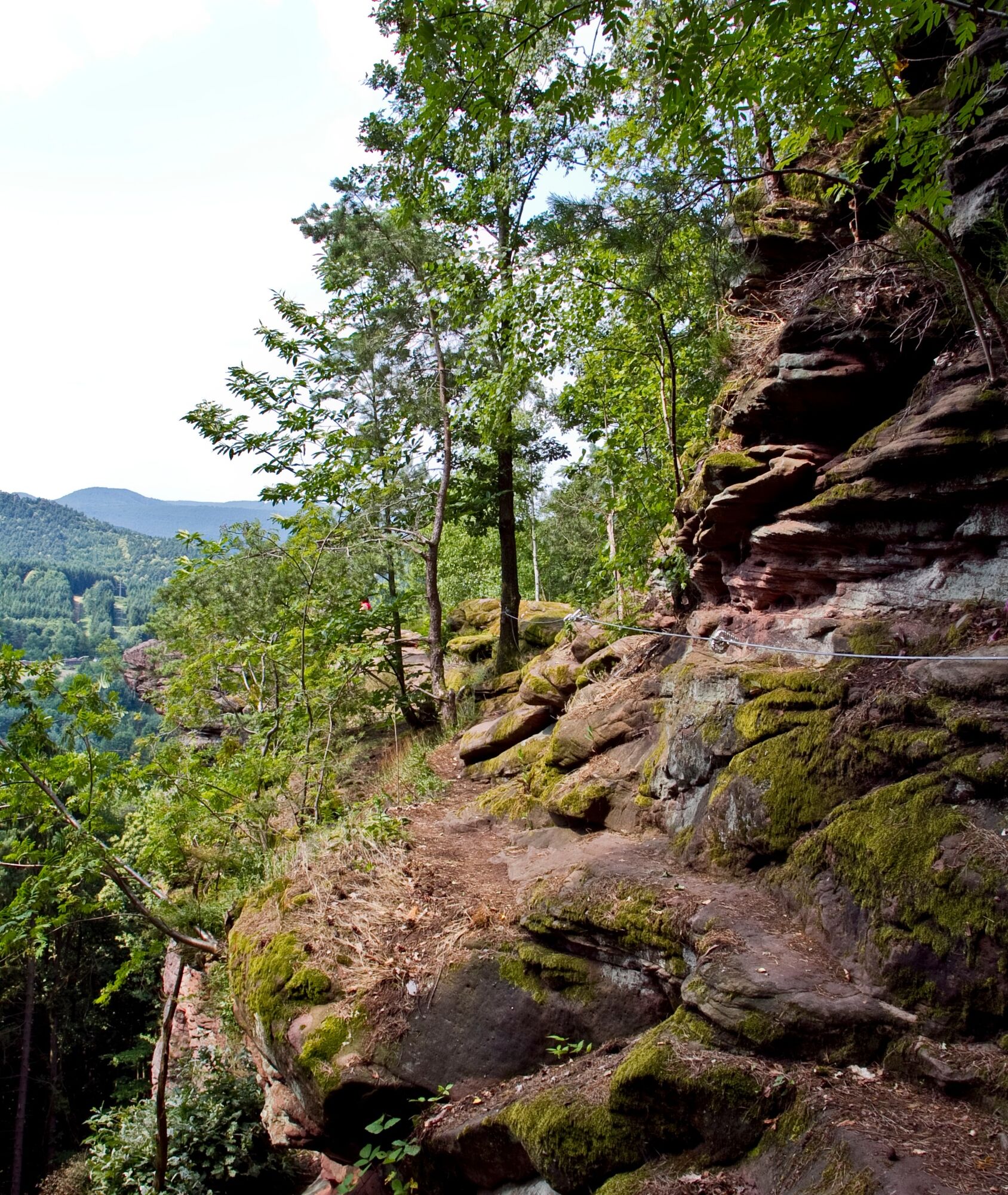
No matter from where you start the tour, it's first up the hillside. The extremely steep slopes leave no doubt that the 800 metres will have to be achieved without detours and you quickly realize that the grading of the Rimberg-Steig is correctly classified as "severe". But as soon as one has reached the first hilltop ridge and the first viewpoint, the entire beauty of this premium trail unfolds itself - winding paths along high-altitude trails and mighty rock formations with unforgettable wide views. For this reason, it's always worthwhile to climb the arduous path leading from hilltop to hilltop because you will be rewarded each time anew with a great sight.
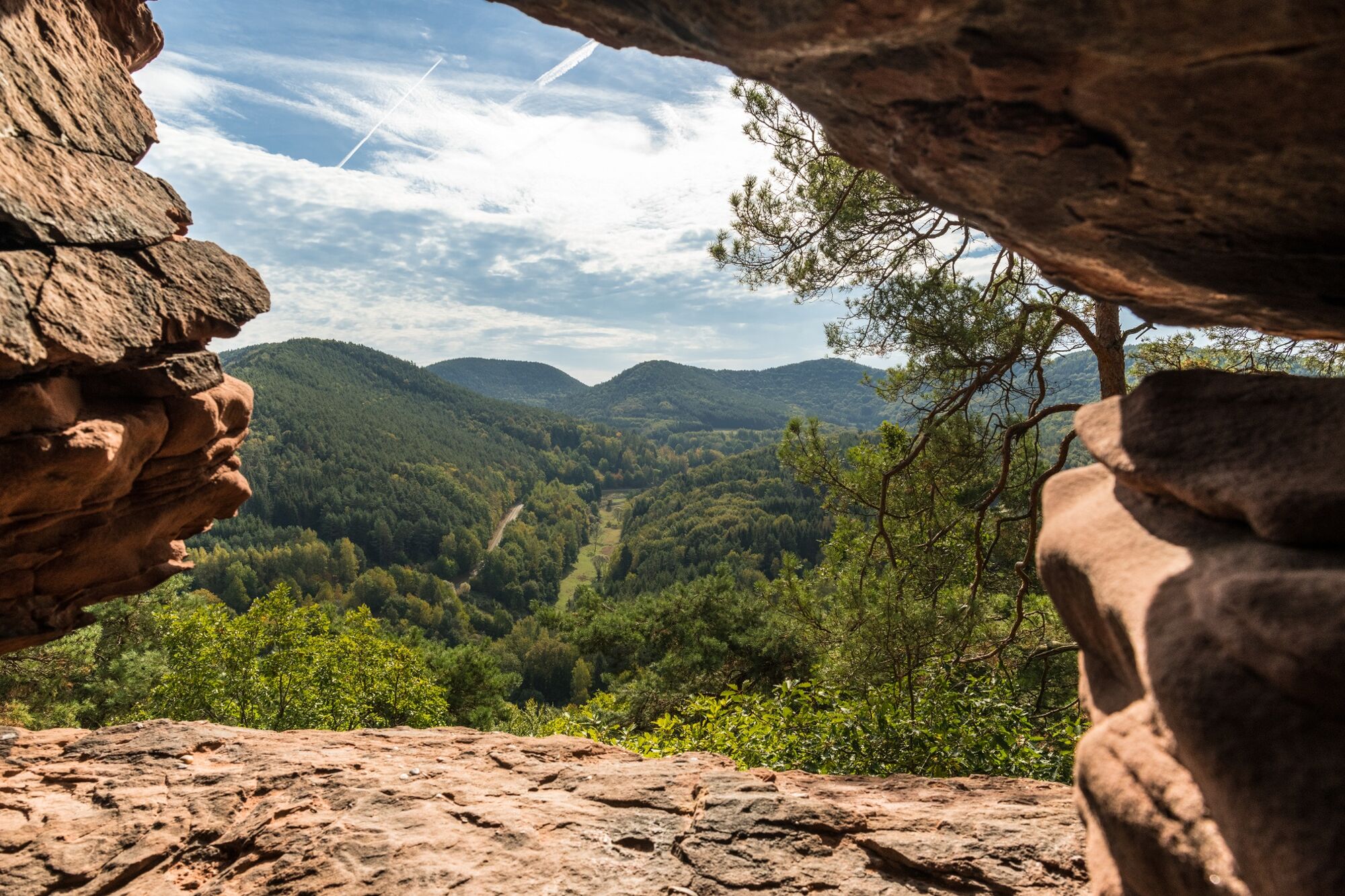
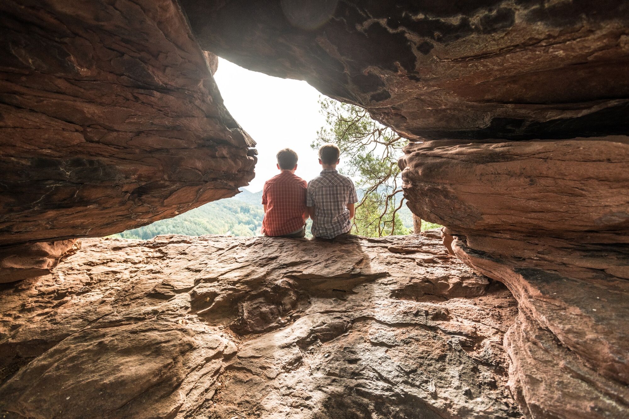
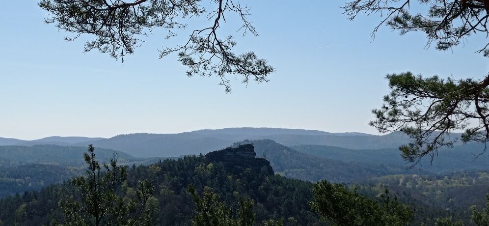
One of the most spectacular stops on this tour is certainly the Hühnerstein (456 m), the boundary stone between the districts of Hauenstein and Schwanheim. A steel ladder helps you to climb up to the viewing platform, from where you can enjoy a breathtaking view over the entire region. A compass rose mounted at the top also helps you with your geographical orientation whilst at the foot of the Hühnerstein a wooden bench offers you the opportunity for a short break.
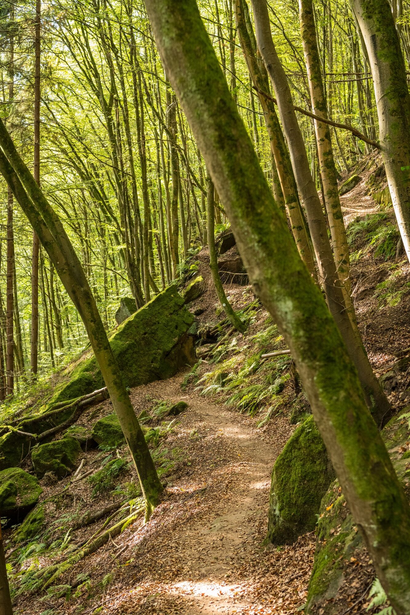
Of course, the almost 17-kilometre-long circular route has many more attractive places to offer. On the ridge of the Nesselberg, for example, you should definitely plan a stopover. Up there you will be undisturbed and can simply enjoy the peace and quiet. The ridge walk between the Hühnerstein and Kesselberg is like being in a dream. We pass mighty rock formations and every now and then have a view between the trees of the surrounding hillside.
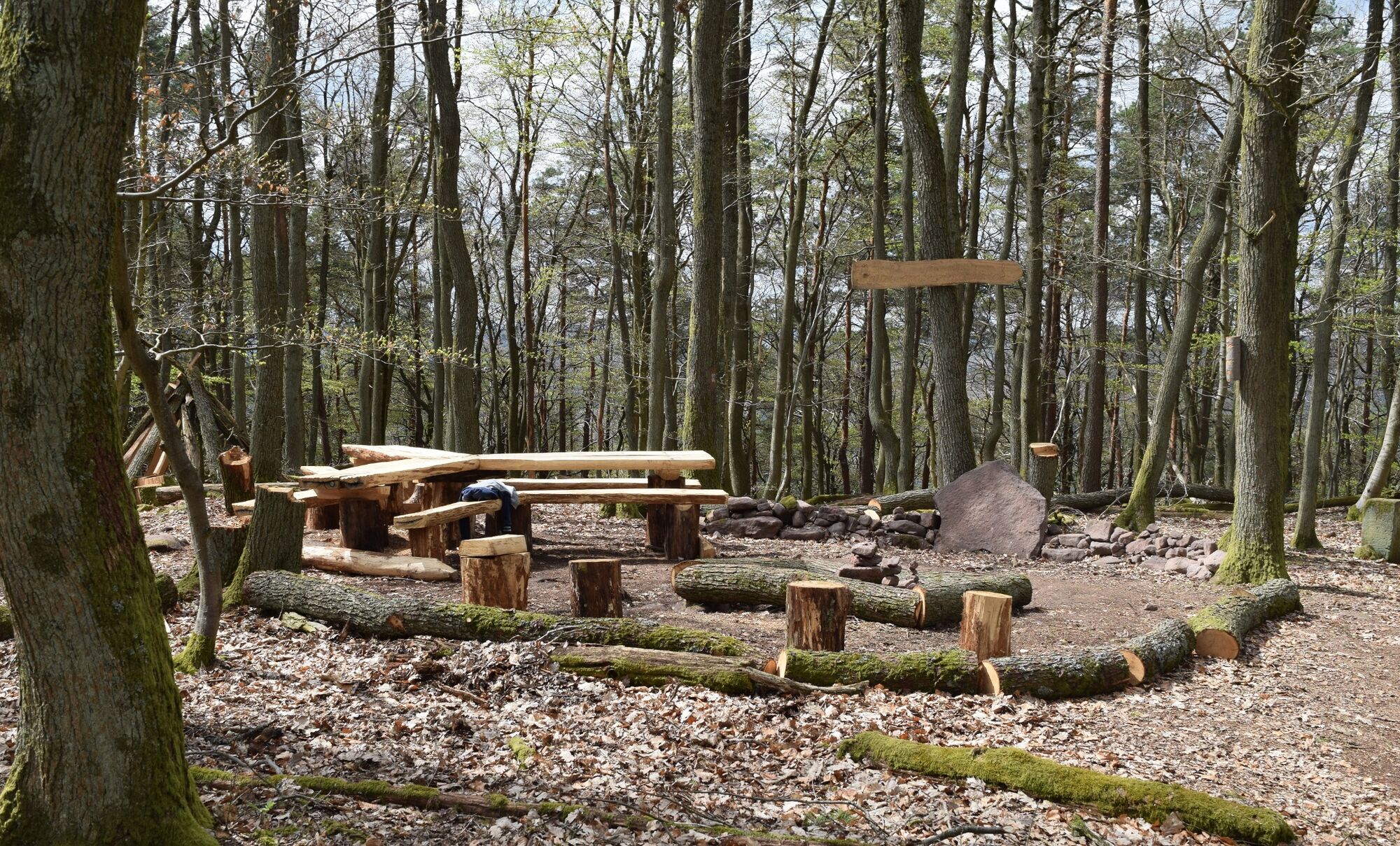
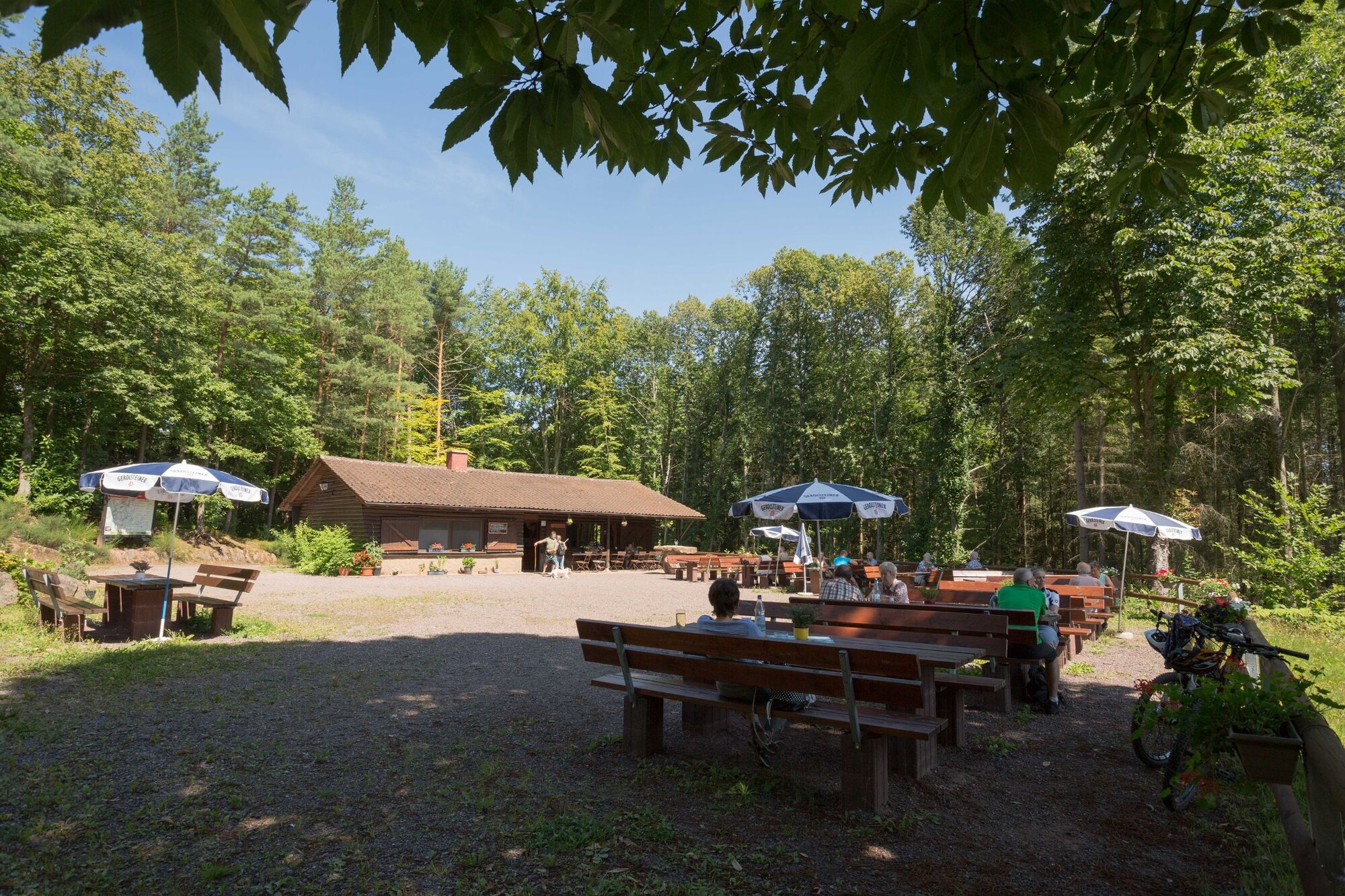
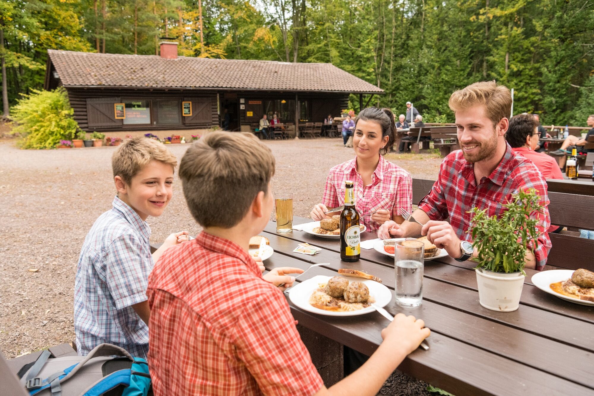
At the Häuselstein, a seating area invites for a short rest and/or snack. A little further on, a narrow soft path leads to a hidden rocky platform on which you can enjoy another rest. From Immersberg, Hockköpfel and Hockerstein there await fantastic wide views far into the Vorderpfalz that must be seen. These rocks summit should therefore also be on the sight-seeing list. Since hiking is bound to make you hungry, a visit to the Wasgauhütte is a must. What could be better than after a hard tour in friendly company than to enjoy the culinary specialties of the region?
A contrast to the high altitude paths are the stages down in the valley that lead through idyllic meadows. Depending from where you started, they form the beginning or end of an eventful hiking tour on the Pfälzer Rimbach-Steig.
- Highest point
- 461 m
- Endpoint
-
parking aerea in Darstein
- Height profile
-
 © outdooractive.com
 - Equipment
-
Sturdy footwear and all-weather clothing, sun and rain protection, and a sufficient quantity of food and drink, should no refreshment facilities or shopping possibilities exist or be open. Although the path is always very well marked, you should for safety reasons always have an appropriate hiking map with you.
- Safety instructions
-
Despite the well-signposted trail markers along the premium hiking trails, we recommend for security reasons to always have an appropriate hiking map so that, for example when a storm occurs, you can quickly either find shelter or get out of the woods.
Especially in the autumn it is also important to remember that leaves lying on the ground can conceal irregularities, such as roots, rocks or holes in the path. Following storms, trees can have been uprooted or have branches hanging down. Such path impairments have to be expected when using such trails . Especially in adverse weather conditions, it may occur that the trails and paths turn into muddy and slippery passages. Path impairments of this kind have to be expected when you go out for a hike. Not all rocks or slopes are secured with ropes or railings and sure footedness is required. Should you be of the opinion that these are not accessible to you then you should try and get around them.
- Tips
-
For break visit the Wasgauhütte in Schwanheim.
- Additional information
- Directions
-
B 10 (Landau/Pirmasens) exit Annweiler-West, follow the road towards Annweiler-Sarnstall, turn to Lug, Darstein and Schwanheim.
- Public transportation
-
take the train to railway station Annweiler am Trifels (and then by bus line 525 to Darstein or Schwanheim)
or to railway station Wilgartswiesen.
- Parking
-
Parking area in Darstein at the village exit towards Vorderweidenthal (playground).
Parking area in Schwanheim at the village exit towards Darstein (cemetery).


- Author
-
The tour Rimbach Steig is used by outdooractive.com provided.


General info
-
Pfalz
1518
-
Trifelsland
1063