Rheinaueerlebnispfad- New and Old shores: Experience Rhine Knowledge


- Brief description
-
A romantic circular route through an impressive meadow landscape - with many information boards on ecological and historical topics.
- Difficulty
-
easy
- Rating
-
- Starting point
-
Jungaue Rheinufer (Rheinstrasse)
- Route
-
Oestrich-Winkel1.8 kmRhein-Klause5.6 kmLeberts-Au5.8 kmIngelheim am Rhein (110 m)10.0 km
- Best season
-
JanFebMarAprMayJunJulAugSepOctNovDec
- Description
-
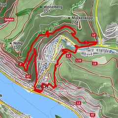
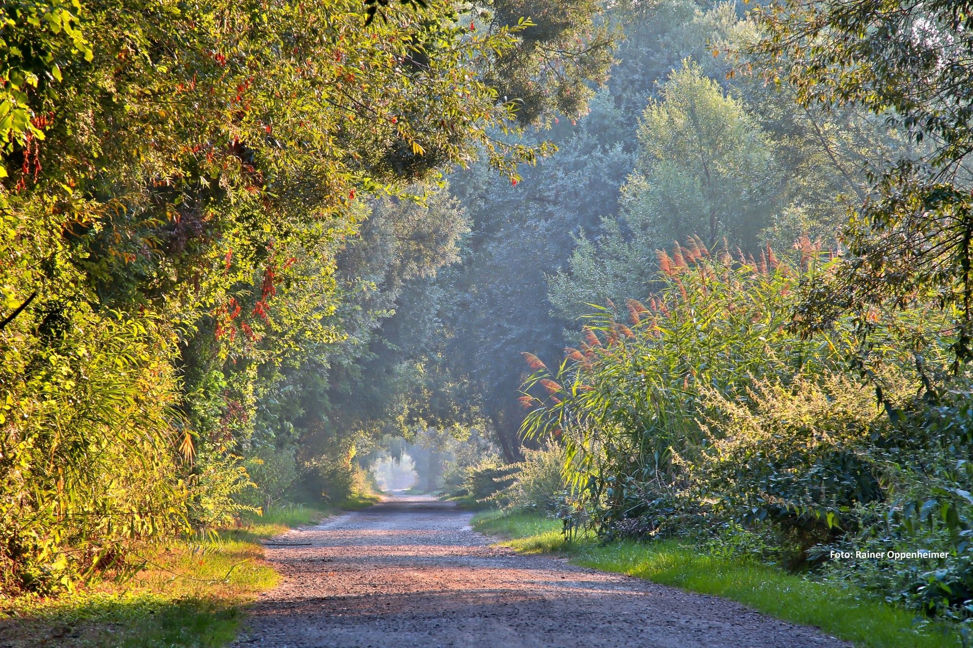
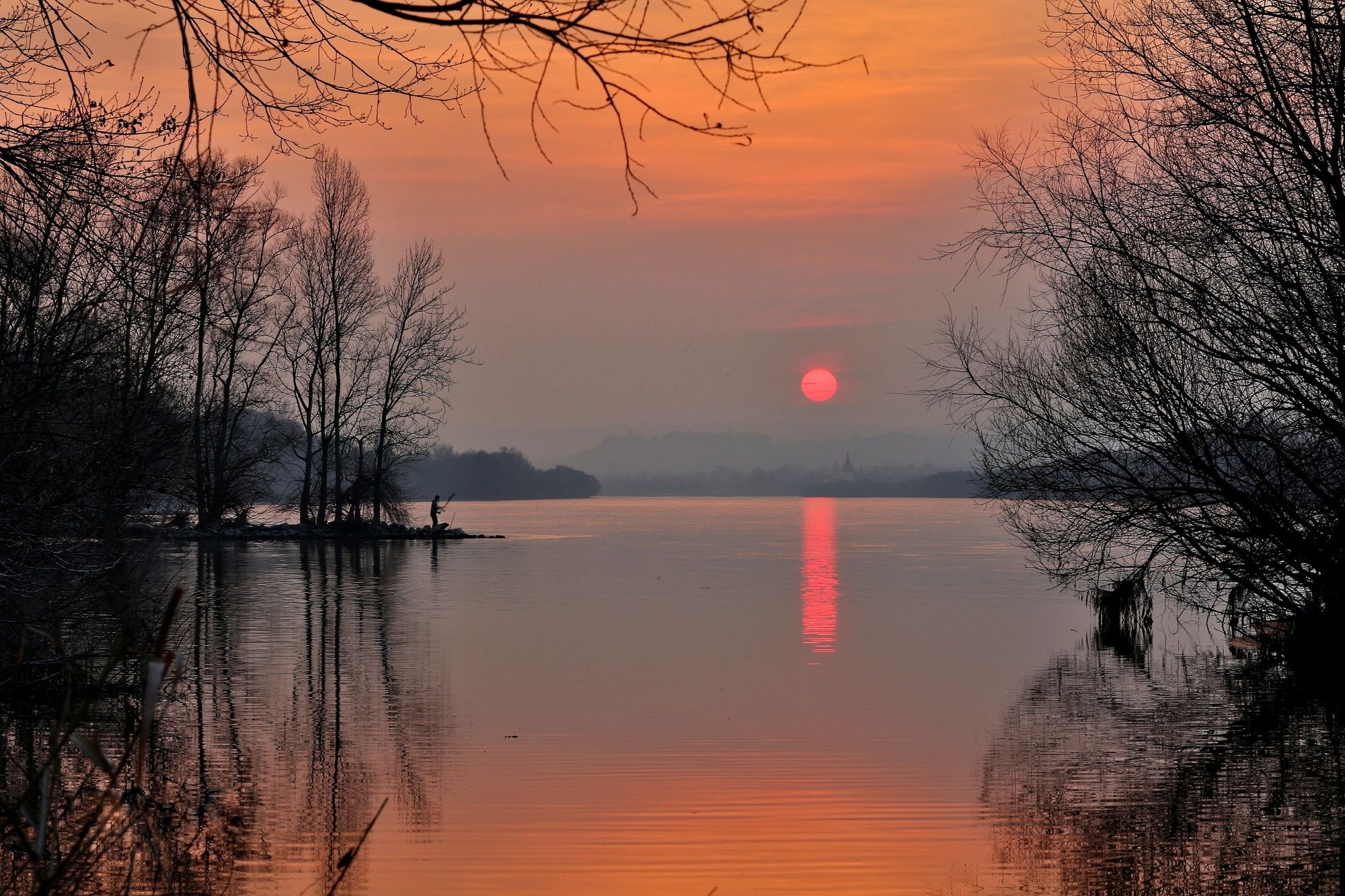
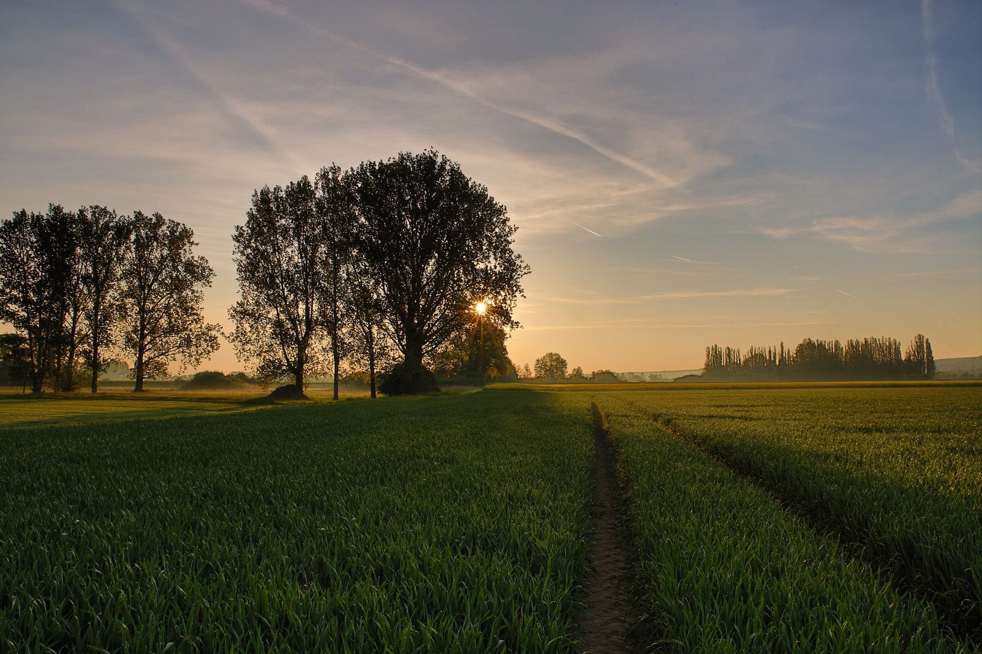
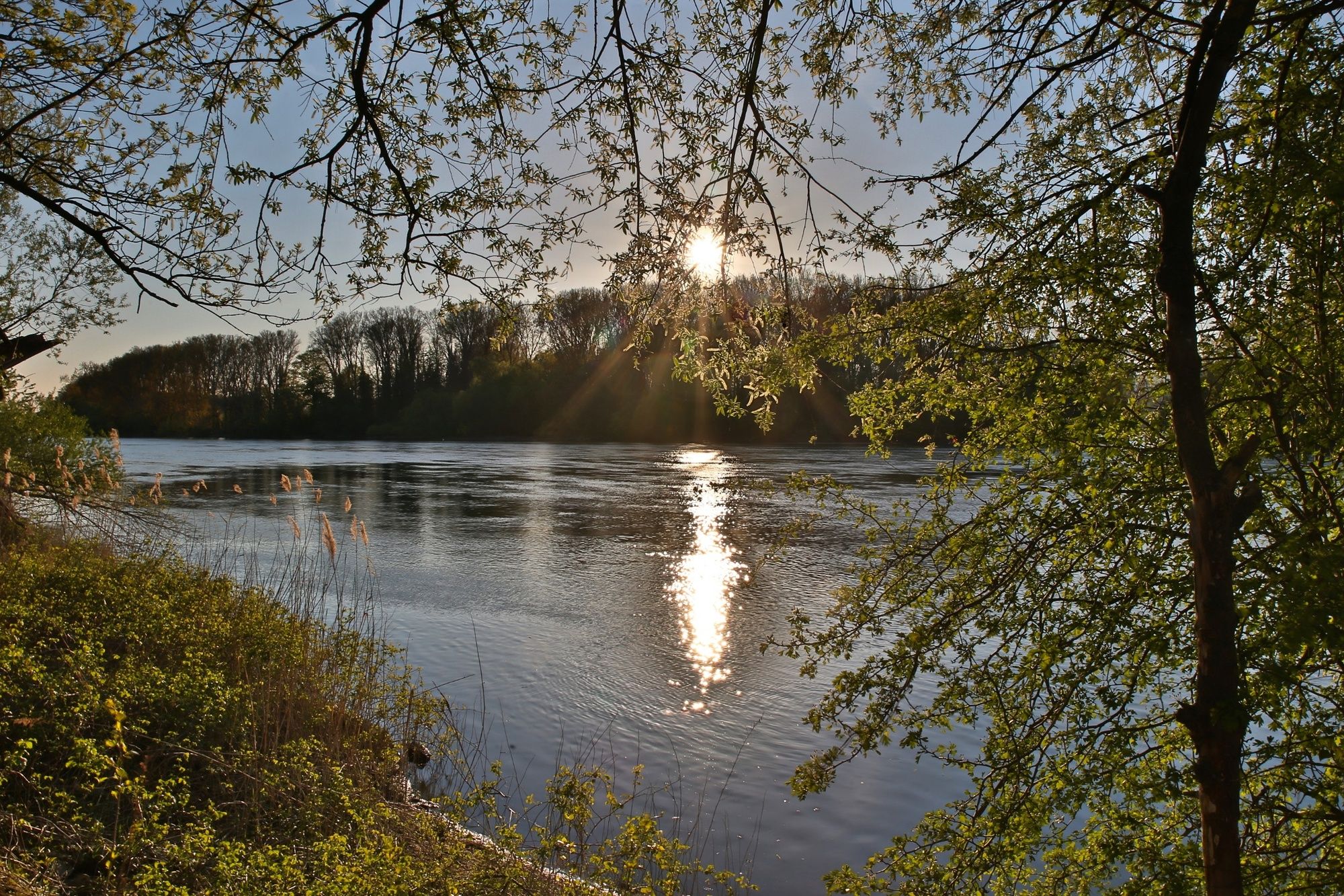
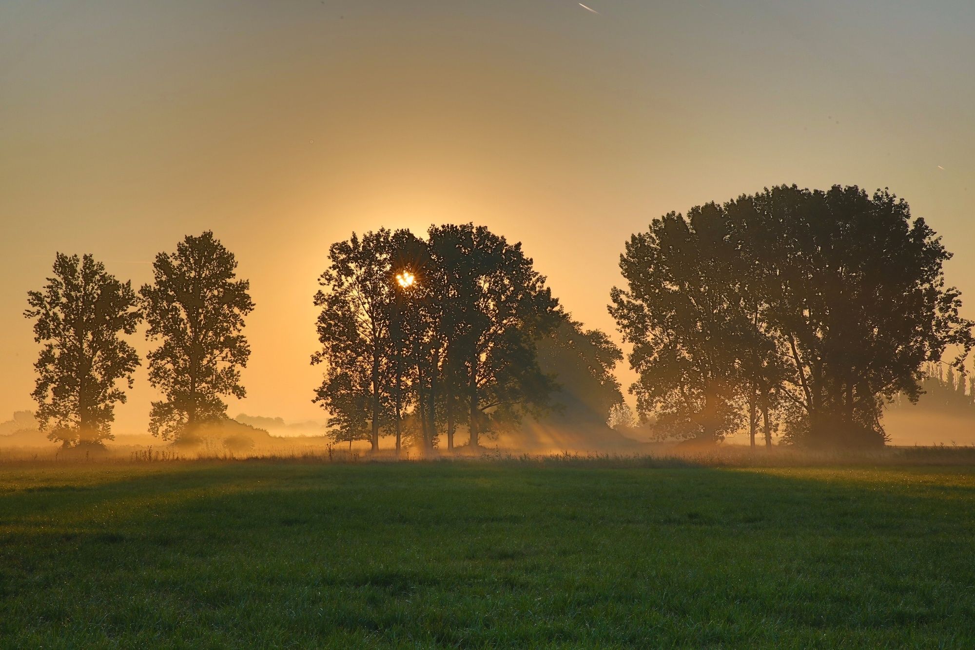
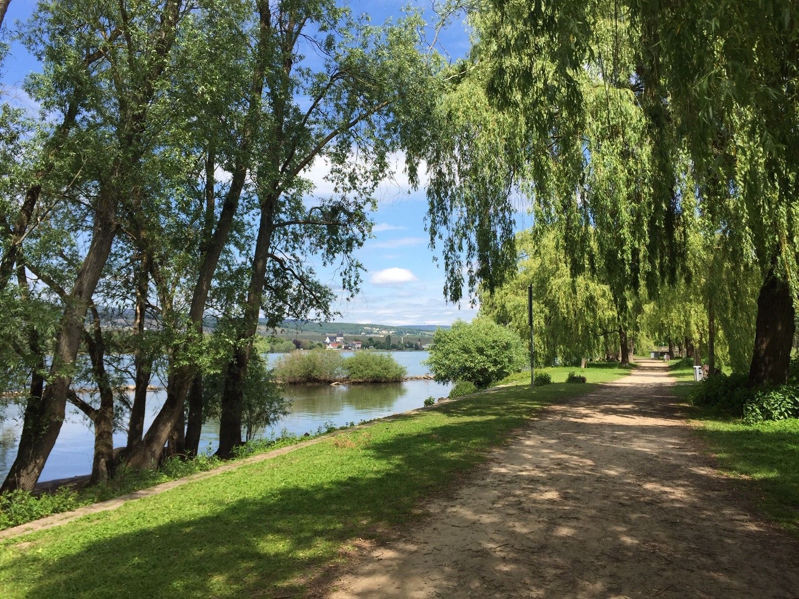
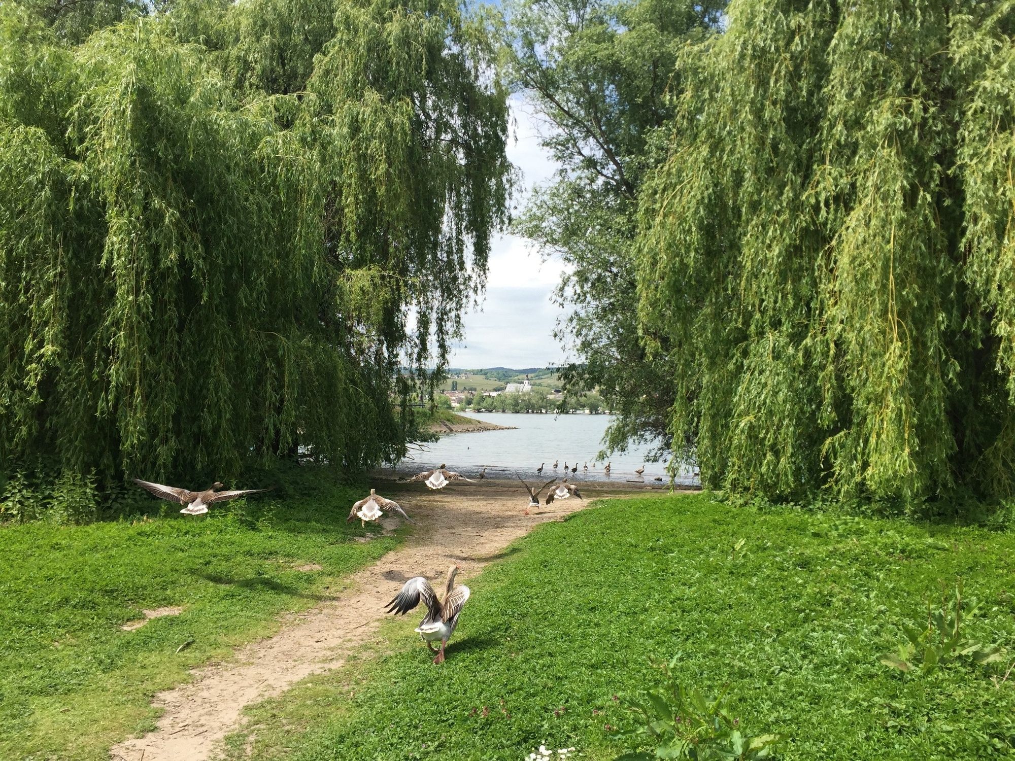
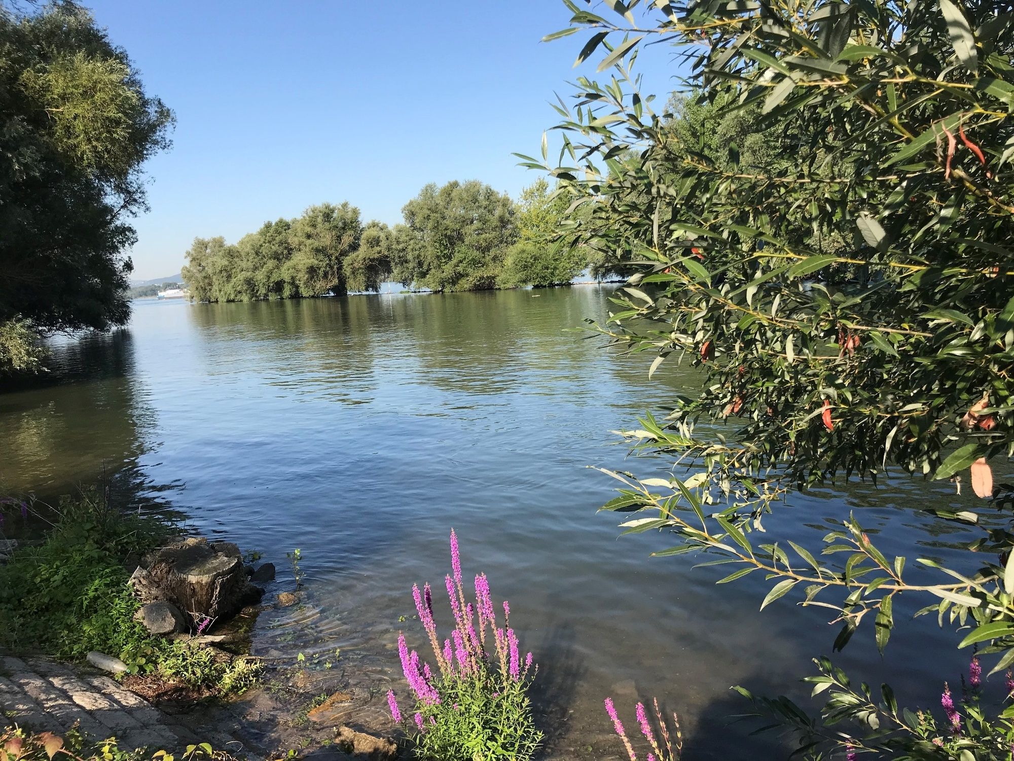
The family-friendly circular route in three different lengths leads through the impressive meadow landscape on the Inselrhein near Ingelheim. Pure natural experience in an oasis of biodiversity: The still water areas and the former Rhine arm "Sandlache" are playgrounds for water birds, the wet meadows and the dry zone of the dike crown offer numerous Plant and insect species home. The remains of the old, once dense alluvial forest with the weeping willows and poplars set their own atmospheric accents along the way. At many information stations you can find out interesting facts about nature, culture, economy, technology and history on the Rhine. An equipment course also offers exercise opportunities for all ages, and the observation tower a good overview of the new and old banks. On this path, real Rhine romance can be experienced in an exciting way for everyone. Don't forget binoculars!
- Directions
-
The circular route starts shortly before the pier, where the ferry from Oestrich-Winkel (Rheingau) docks. The small circular route is 2.4 km long and can be extended to 3.8 km. The large circular route is 7.9 km long. The following applies to all three: don't forget your binoculars! Because very special nature observations can be made in the meadow landscapes. At the beginning of the circular route you pass weeping willows, part of the typical, once very dense alluvial forest. From here you either follow the banks of the Rhine through the poplar avenue or walk across the wet meadows to the observation tower. The path crosses the sand pool, a former branch of the Rhine and a popular playground for birds, and then leads to the dike. Return to the starting point along the dike. Boards with information about nature, culture, history, economy and technology accompany the floodplain hikers on their way. You can stop off in the Ingelheimer Sommergarten or in the Rhein-Klause ..
- Highest point
- 83 m
- Endpoint
-
Jungaue Rheinufer (Rheinstrasse)
- Height profile
-
 © outdooractive.com
 - Equipment
-
The routes lead over flat gravel and meadow paths. Mosquito repellent might not be bad.
- Tips
-
NABU offers guided tours through the Rhine floodplains - for everyone who wants to discover even more and to know about the unique ecosystem.
- Additional information
-

-
AuthorThe tour Rheinaueerlebnispfad- New and Old shores: Experience Rhine Knowledge is used by outdooractive.com provided.


General info
-
Rheingau
999
-
Ferienregion Langenlonsheim
501
-
Oestrich-Winkel
169