
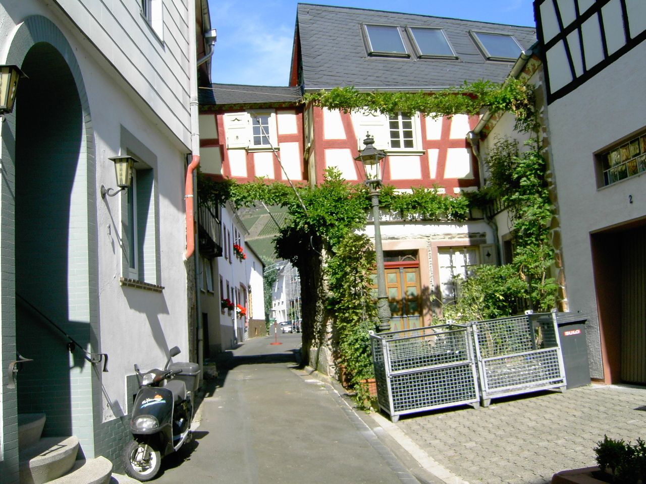
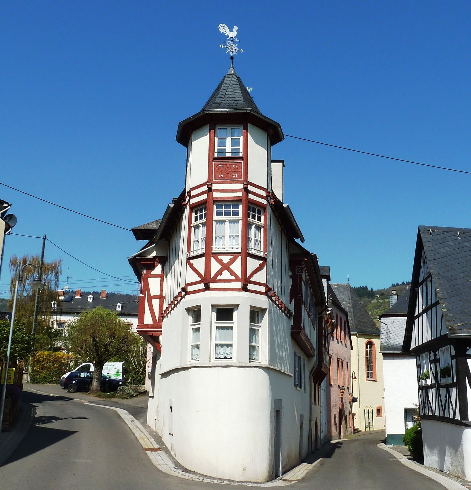
- Brief description
-
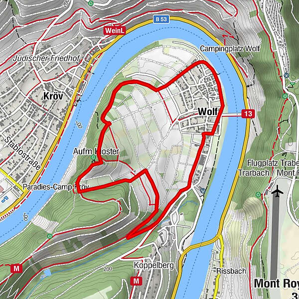
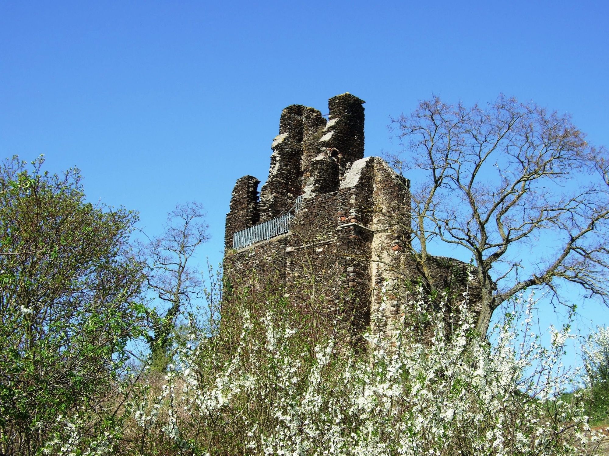
Easy hike through the vineyard "Klostergarten" to the "Wolfer Kloster" (ruins of the Liebfrauenkirche)
- Difficulty
-
easy
- Rating
-
- Starting point
-
Tourist-Information Wolf
- Route
-
Kröv1.1 kmAufm Kloster1.6 kmLandhaus am Ufer4.5 kmWolf4.7 km
- Best season
-
JanFebMarAprMayJunJulAugSepOctNovDec
- Description
-
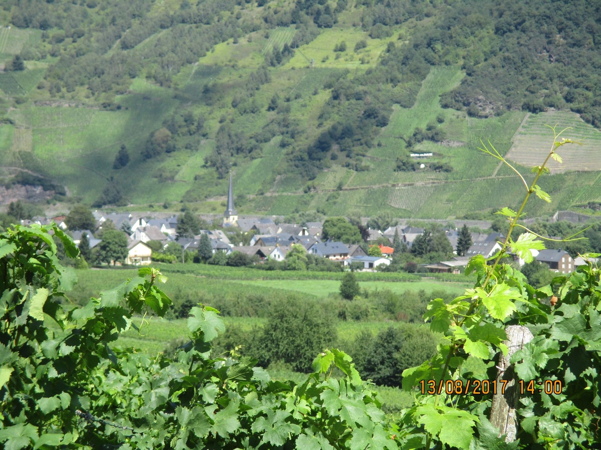
The trail leads on partly asphalted, partly gravelled ground with a slight incline through vineyards to the "Wolfer Kloster" (ruins of the Liebfrauenkirche of the Kogelherren). From there it goes downhill along the edge of the forest over vineyard paths and through a stream valley back to the starting point at the Wolf landing stage.The path is easy to walk in all weathers. It repeatedly offers magnificent views of the Moselle, the vineyards and rocky slopes opposite and the village of Wolf.
- Directions
-
From the Uferstraße, head up the Moselle to the campsite. From there, turn left up into the street Luxgraben and continue straight on through the vineyard path uphill to the fork. From here, turn right parallel to the Moselle for approx. 400m and then uphill towards the monastery, which is reached after a further 500m.
At the monastery, go downhill towards the forest for about 200m, then turn left for about 150m to the edge of the forest. From here, continue left for 500m, slightly downhill to the car park.
Here the path continues straight ahead for approx. 200m and then turns right through the vineyards towards Koppelberg/Bachtal (hiking trail M). After about 300m you reach a fork, here the path continues straight ahead and slightly downhill for another 500m until you reach the Bachtal. At this point, the trail leads back to the starting point on the left, initially parallel to the district road, until after approx. 700m you reach the main road. Here you continue left for about 200m, parallel to the B 53 and then cross the B 53 (Gewerbegebiet Treppenbau Krieger) and walk for about 100m to the next road. From here, continue following the Moselle onto Uferstraße. Now walk approx. 800m up the Moselle and you will return to the starting point, the Wolf Tourist Information Centre.
- Highest point
- 219 m
- Endpoint
-
Tourist-Information Wolf
- Height profile
-
 © outdooractive.com
 - Equipment
-
Sturdy shoes recommended
- Tips
-
The information board at the Wolfer Monastery provides interesting information about the origins and history of the monastery.
- Directions
-
by bus, boat, bicycle, own car or on foot (see "Goetheweg") to Wolf
- Public transportation
-
with Moselbahn bus no. 333 to the Wolf stop at the bridge and join the tour from there.
- Parking
-
Free of charge on the banks of the Moselle in Wolf
- Author
-
The tour Klostergartenweg - Walk around Wolf is used by outdooractive.com provided.


General info
-
Mosel-Saar
1077
-
Traben-Trarbach
564
-
Zell (Mosel)
189