© TI Hunsrück-Mittelrhein - Ti Hunsrück-Mittelrhein

© T. Biersch

© B. Vogt

© T. Biersch
- Brief description
-
Very beautiful, but challenging hike on easily accessible, partly steep mountain trails with great views.
- Difficulty
-
medium
- Rating
-
- Route
-
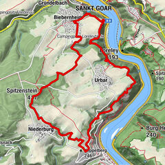
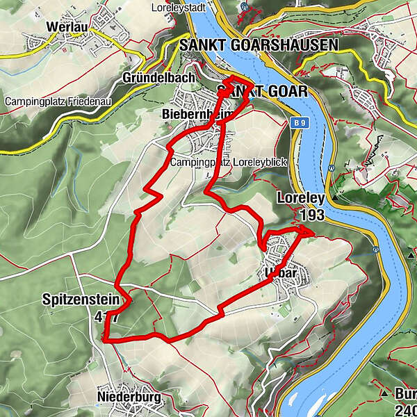
Sankt GoarshausenKatholische Kirche St. Goar und St. Elisabeth0.0 kmLohbachwasserfall0.3 kmSankt Goar0.3 kmBiebernheim1.0 kmSpitzenstein (417 m)4.1 kmUrbar7.1 kmBiebernheim11.0 kmLohbachwasserfall11.4 kmSt. Goar11.6 kmStiftskirche St. Goar11.7 kmSankt Goarshausen11.7 kmSankt Goar11.7 km
- Best season
-
JanFebMarAprMayJunJulAugSepOctNovDec
- Description
-
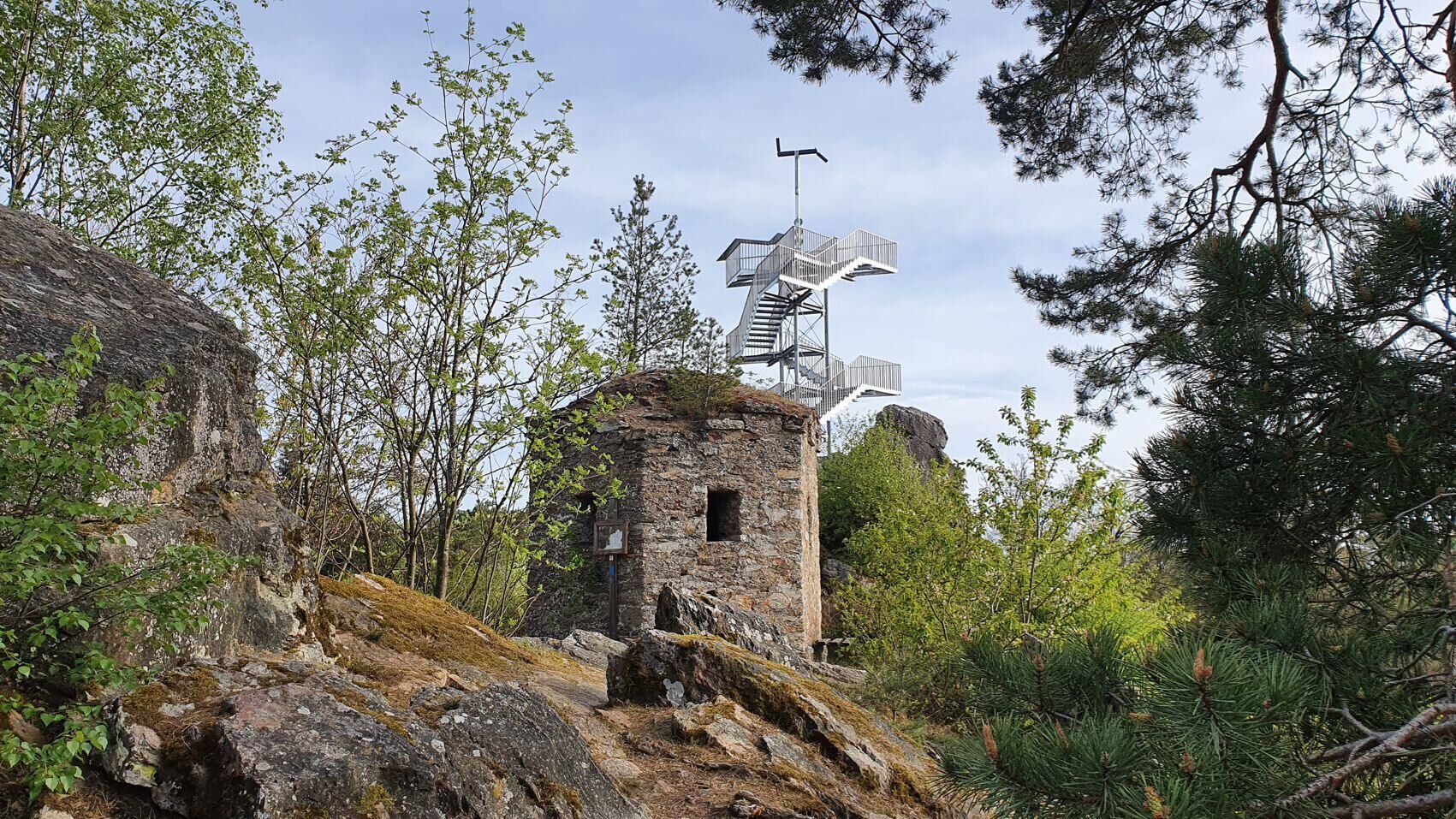
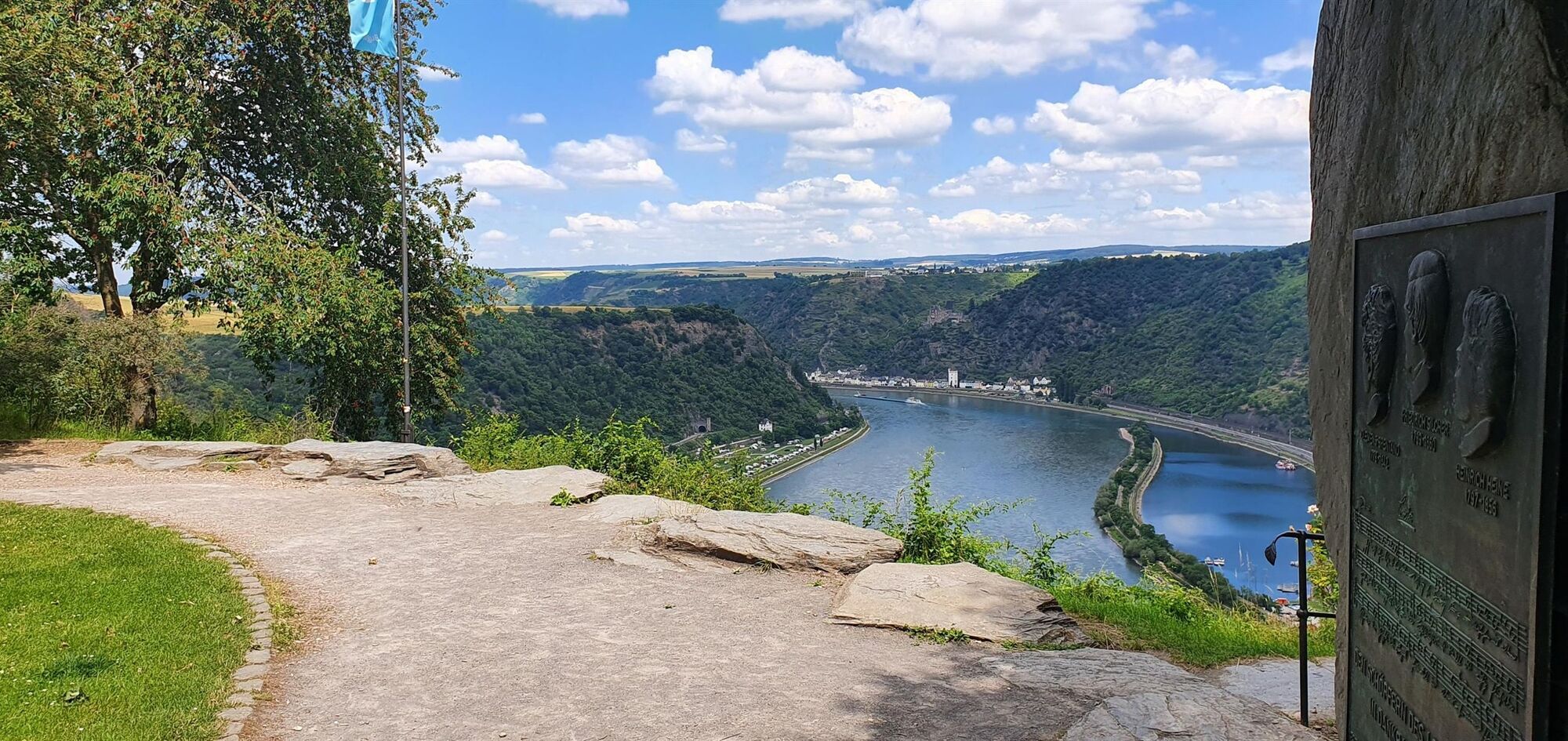
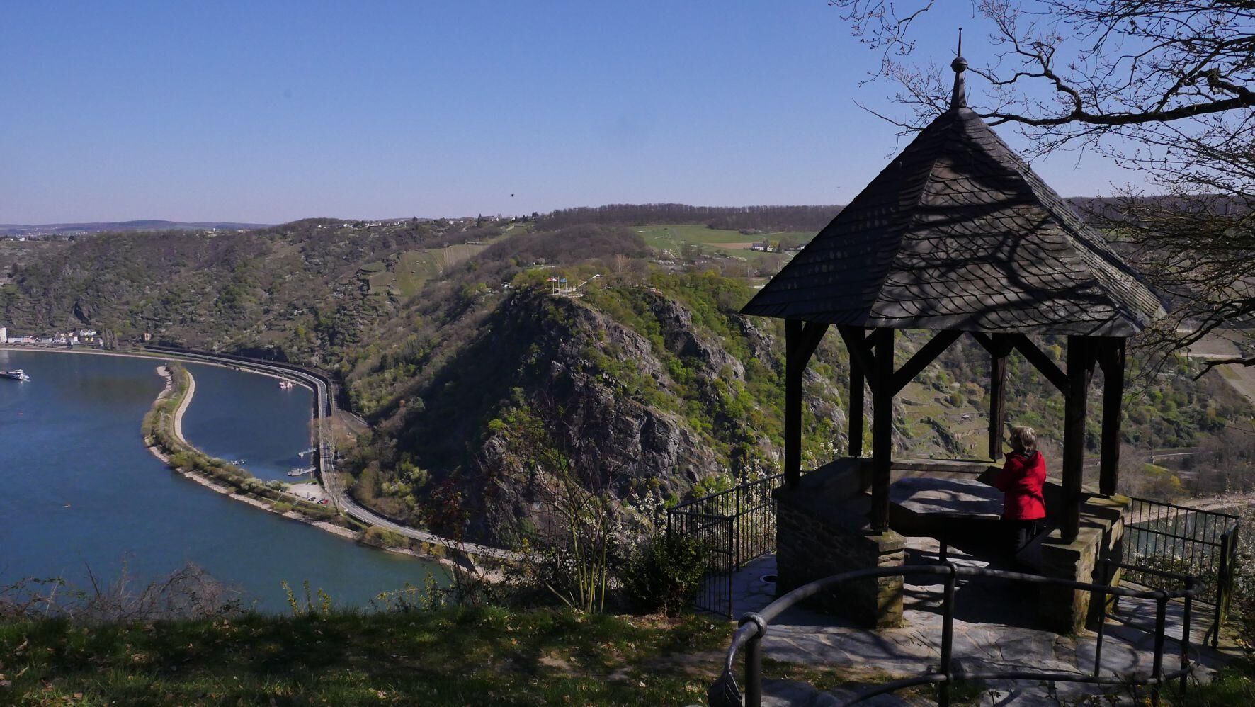
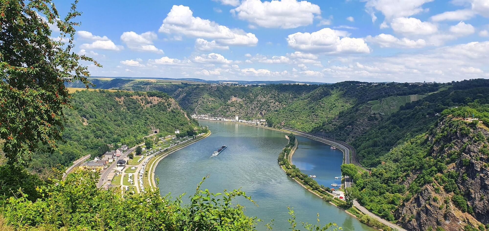
The Höhenweg is a very beautiful, but demanding circular hiking trail. It leads on well passable, partly steep mountain paths to beautiful viewpoints on the Rhine heights of St. Goar, NIederburg and Urbar. A special highlight of the tour is the 18 meter high observation tower at the "Spitzen Stein".
- Highest point
- 393 m
- Height profile
-
 © outdooractive.com
-

-
AuthorThe tour High trail St. Goar is used by outdooractive.com provided.
GPS Downloads


General info
Refreshment stop
Cultural/Historical
A lot of view
Other tours in the regions
-
Romantischer Rhein
1055
-
Loreley
591
-
St. Goar
144