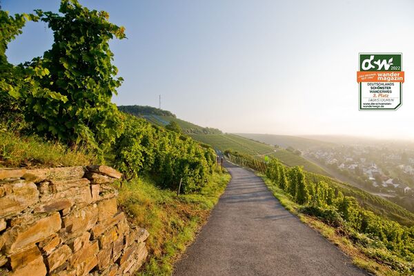
© Ahrtal-Tourismus Bad Neuenahr-Ahrweiler e.V. - Tanja Huth
© Ahrtal-Tourismus Bad Neuenahr-Ahrweiler e.V. - Tanja Huth
© Ahrtal-Tourismus Bad Neuenahr-Ahrweiler e.V. - Tanja Huth
© Ahrtal-Tourismus Bad Neuenahr-Ahrweiler e.V. - Michelle Harrichhausen

© Ahrtal-Tourismus Bad Neuenahr-Ahrweiler e.V. - Michelle Harrichhausen
© Ahrtal-Tourismus Bad Neuenahr-Ahrweiler e.V. - Michelle Harrichhausen
- Brief description
-
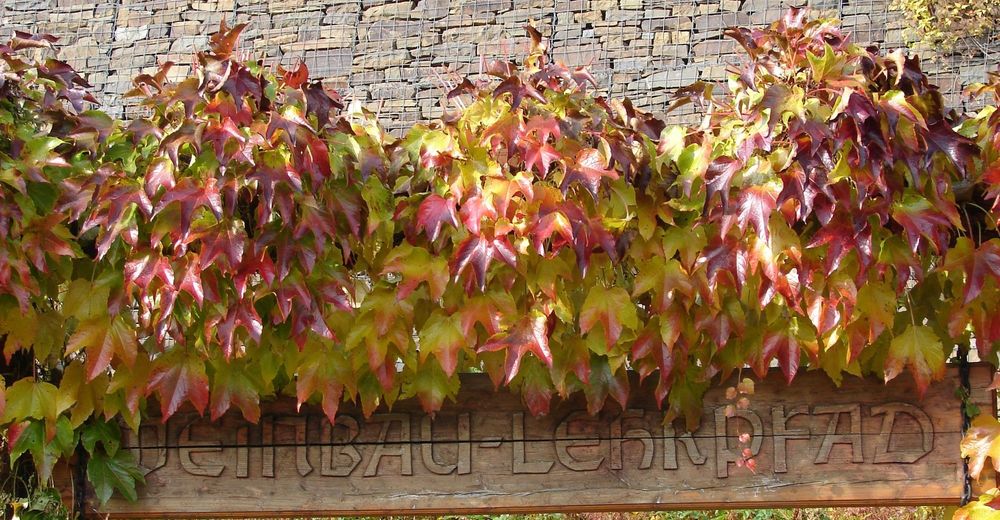
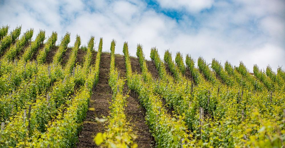
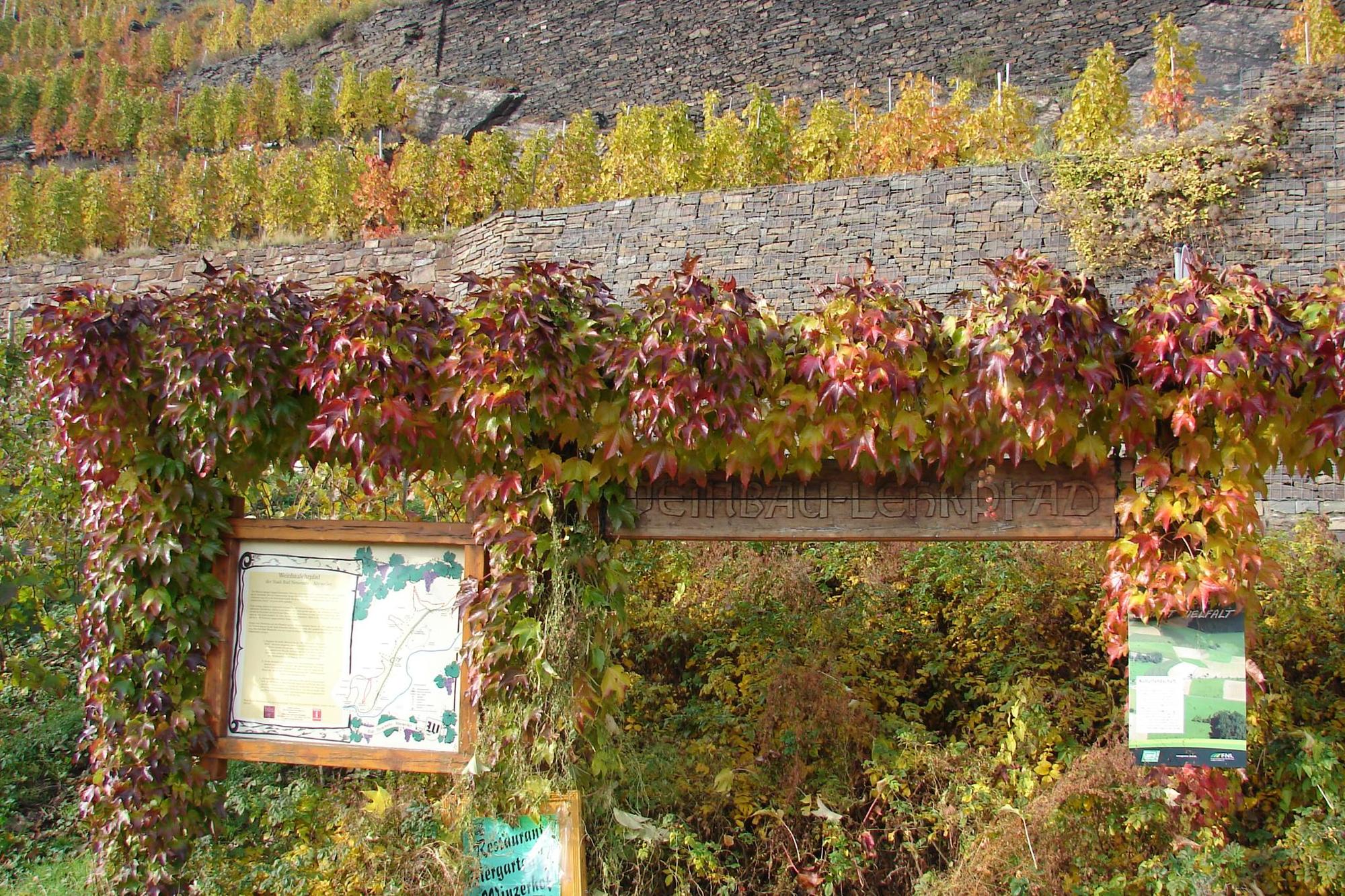
The viticulture nature trail is just the right thing for the curious!
- Difficulty
-
medium
- Rating
-
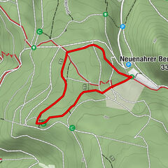
- Route
-
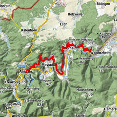
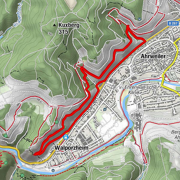
AhrweilerFlutkapelle „St. Donatus“3.2 kmWalporzheim3.6 kmAhrweiler5.1 kmBad Neuenahr-Ahrweiler5.4 km
- Best season
-
JanFebMarAprMayJunJulAugSepOctNovDec
- Description
-
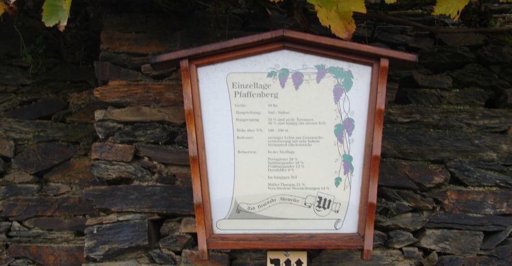
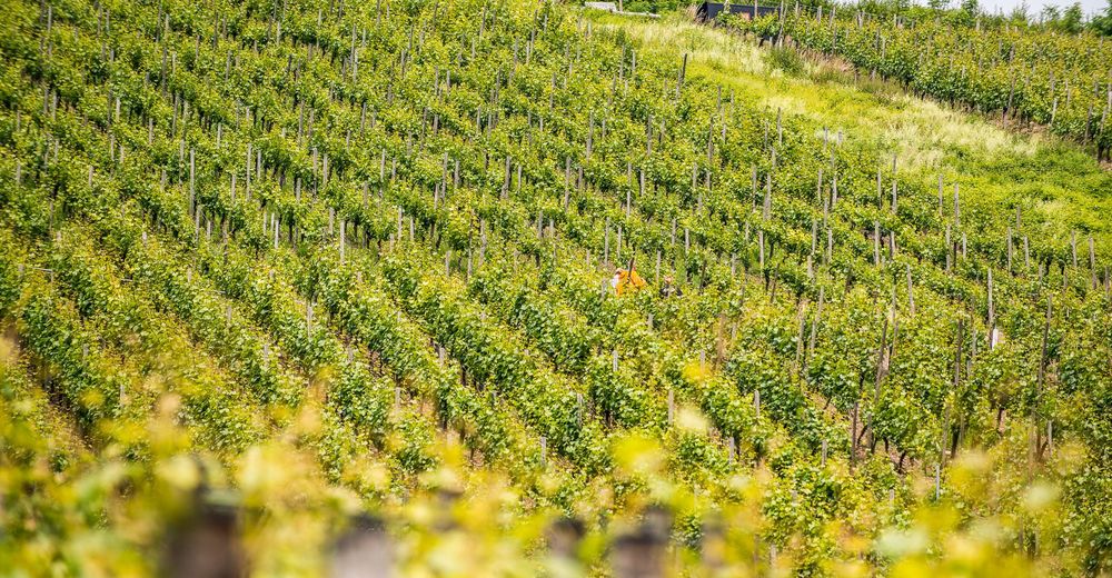
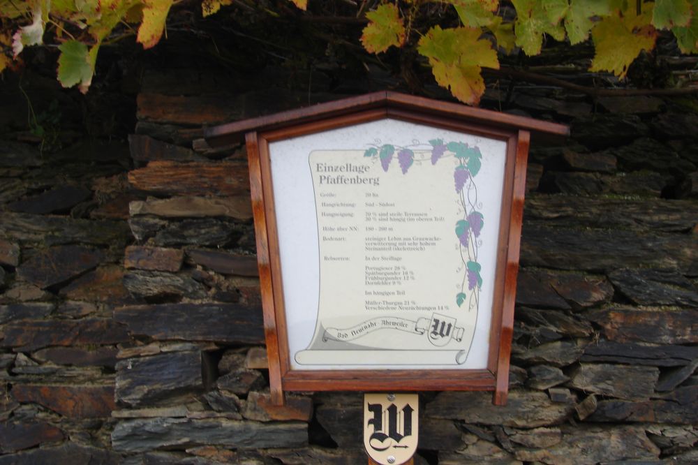
31 text boards inform about everything worth knowing about viticulture in the Ahr valley. The display boards give an overview of the course of the viticulture educational trail as well as a short introduction to viticulture. At irregular intervals the hiker is informed about climate, grape varieties, soil conditions, soil cultivation and all work on the vine.
- Highest point
- 186 m
- Endpoint
-
Bahnhof Ahrweiler Markt
- Height profile
-
 © outdooractive.com
 - Tips
-
A visit to the historical old town of Ahrweiler is a must!

- Author
-
The tour Viticulture nature trail is used by outdooractive.com provided.
GPS Downloads


General info
A lot of view
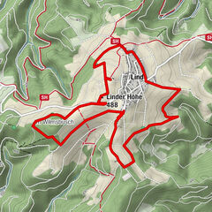
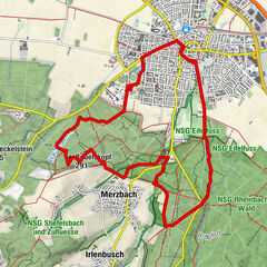
Other tours in the regions
-
Ahrtal
1259
-
Rhein-Voreifel
581
-
Bad Neuenahr-Ahrweiler
262