© Zum Wohl. Die Pfalz. - Tourismusverein SÜW Bad Bergzabern e.V.

© Zum Wohl. Die Pfalz. - Tourismusverein SÜW Bad Bergzabern e.V.

- Brief description
-
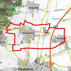
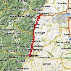
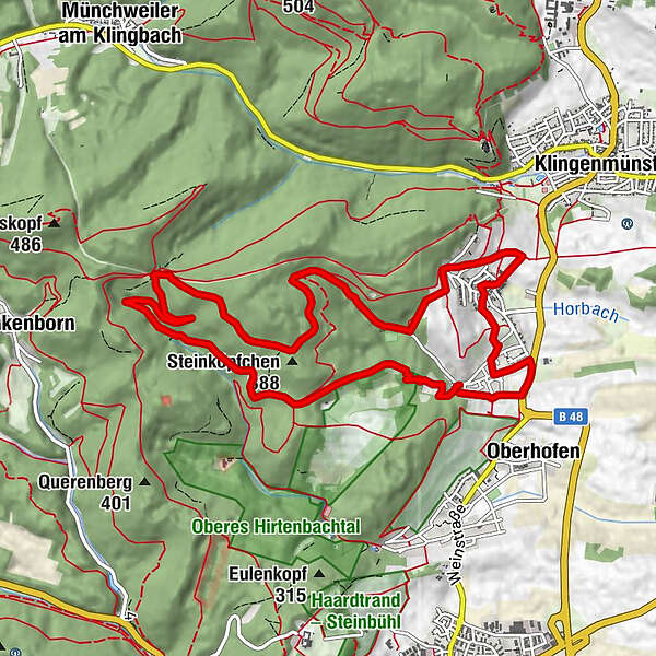
Gleiszellen - Gleishorbach - Sauhäusel - Karlsplatz - Sportplatz - Gleiszellen
- Route
-
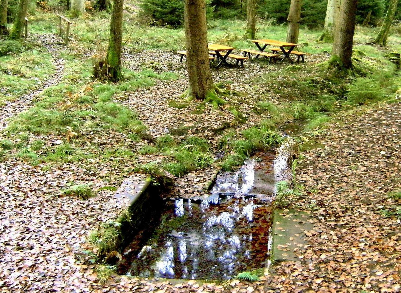
Gleiszellen-Gleishorbach (216 m)Kalkofen0.3 kmAm Seicheneck1.5 kmSauhausbrunnen3.0 kmSteinköpfchen (388 m)5.8 kmWeinlokal Muskatellerhof9.3 kmZum Lam9.4 kmGleiszellen-Gleishorbach (216 m)10.2 kmOberhofen10.8 km
- Best season
-
JanFebMarAprMayJunJulAugSepOctNovDec
- Highest point
- 389 m
- Endpoint
-
Dionysiuskapelle in Gleiszellen-Gleishorbach
- Height profile
-
 © outdooractive.com

-
-
AuthorThe tour Sauhausbrunnen-Weg Gleiszellen-Gleishorbach is used by outdooractive.com provided.
GPS Downloads


General info
Refreshment stop
Other tours in the regions
-
Pfalz
1512
-
Bad Bergzaberner Land
832
-
Landau in der Pfalz
391