
- Brief description
-
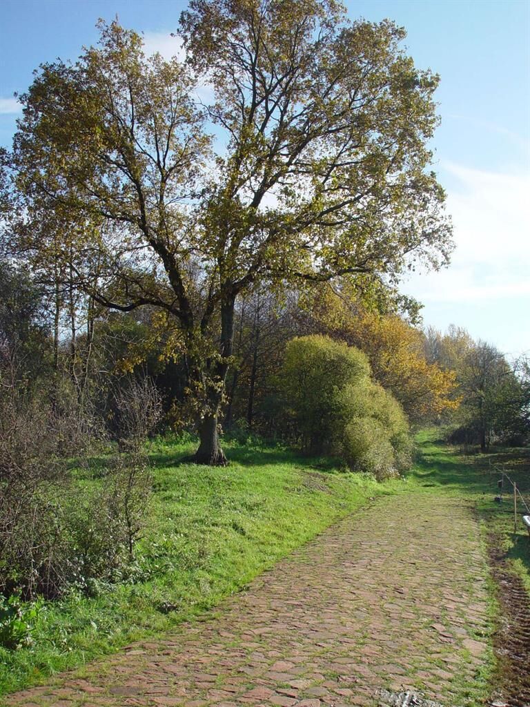
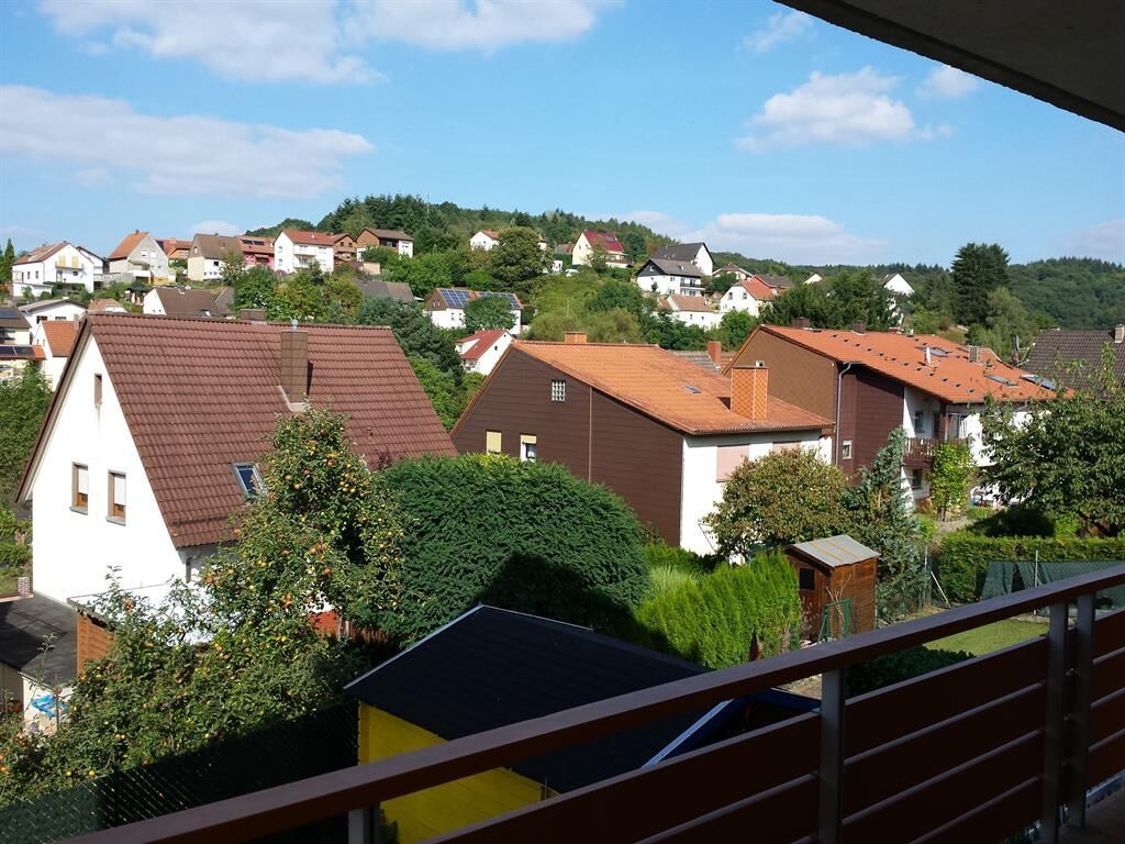
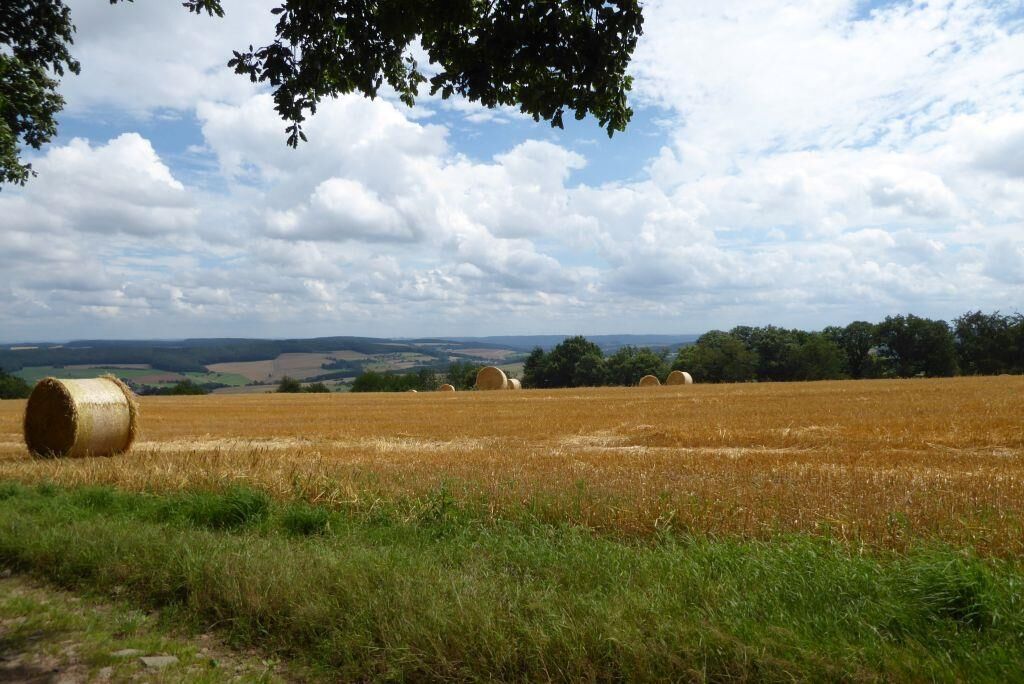
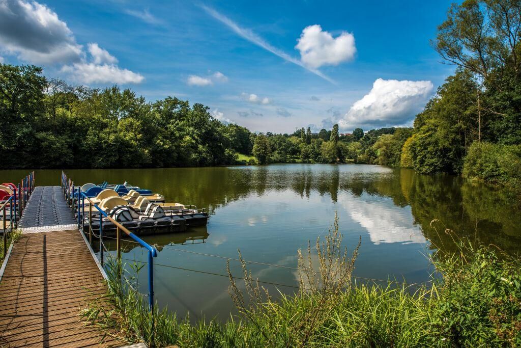
The Cherry Route owes its name to the countless cherry trees which transform the Kohlbach Valley into a sea of blossoms every spring. It connects the Glan and Oster rivers in Saarland via the heights of the western foothills of the North Palatine Uplands. Featuring a mix of cycle routes along the Kohlbach and an undulating climb to the high points of the Oster, this trail is the perfect way to explore the scenery in the extreme west of the Palatinate.
- Difficulty
-
medium
- Rating
-
- Route
-
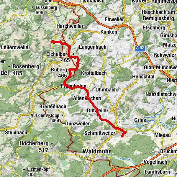
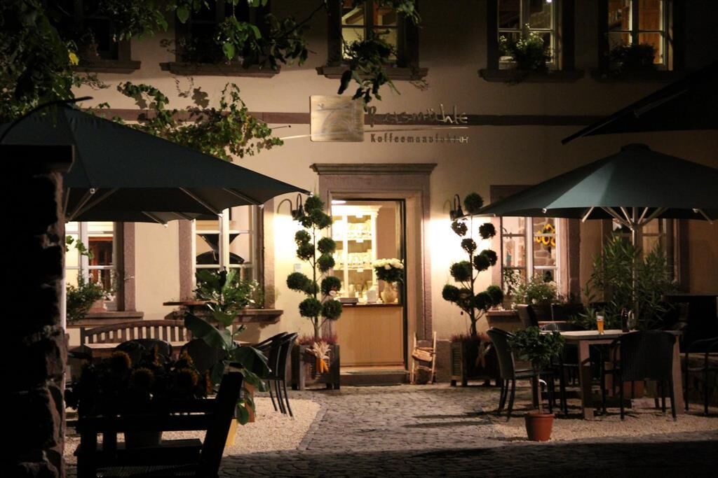
Schönenberg0.8 kmProtestantische Kirche0.9 kmPizzeria Taormina1.1 kmKübelberg1.8 kmPaulengrund3.3 kmPaulas Biergarten3.5 kmDittweiler5.3 kmAltenkirchen7.6 kmFrohnhofen10.2 kmBuberg (465 m)13.7 kmSelchenbach18.1 km
- Best season
-
JanFebMarAprMayJunJulAugSepOctNovDec
- Description
-
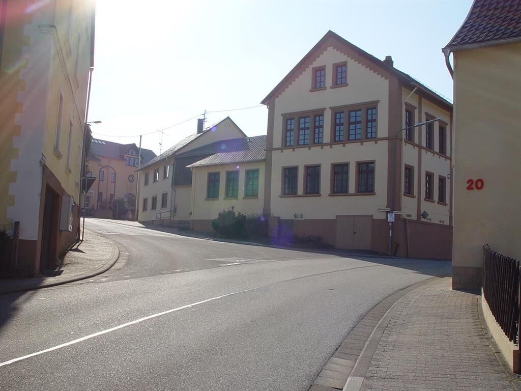
The Cherry Route starts at the old train station in Schönenberg-Kübelberg (connection to the Glan-Blies Cycle Route). It leads gently uphill through the Kohlbach valley to Frohnhofen, mostly on designated cycle paths alongside the road, or sometimes off-road.
After Frohnhofen, it traverses the high points of the Oster, with some sharp climbs and steep descents, before ending up in the Ostertal valley en route to Osterbrücken.
- Directions
-
Difficulty level: A few longer climbs to Saarland require some experience, steep sections ascending from the Ostertal valley.
Route characteristics: Mostly quiet paths through small villages, excellent broad vistas from the high points.
Route:
Predominantly forest tracks and agricultural roadsSurface quality:
Asphalt, except for short sections on the high points of the Oster
The route in the cycle network: The Cherry Route connects the Glan-Blies Cycle Route with the Saarland Cycle Route in the Ostertal valley.
- Highest point
- 463 m
- Endpoint
-
66606 Osterbrücken
- Height profile
-
 © outdooractive.com
 - Equipment
-
Please wear a helmet. Touring bicycle or bike with multiple gears, weatherproof clothing, drinks and supplies. Cyclists can stop for refreshments in most towns and villages along the route. However, opening hours may be limited, so please make sure you carry sufficient food and drink with you.
- Safety instructions
-
Cyclists must obey the German highway code (StVo).
- Tips
-
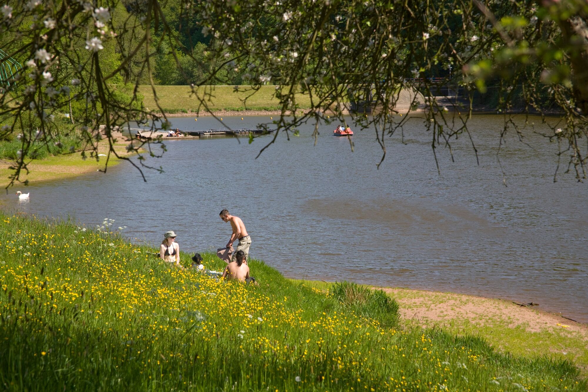
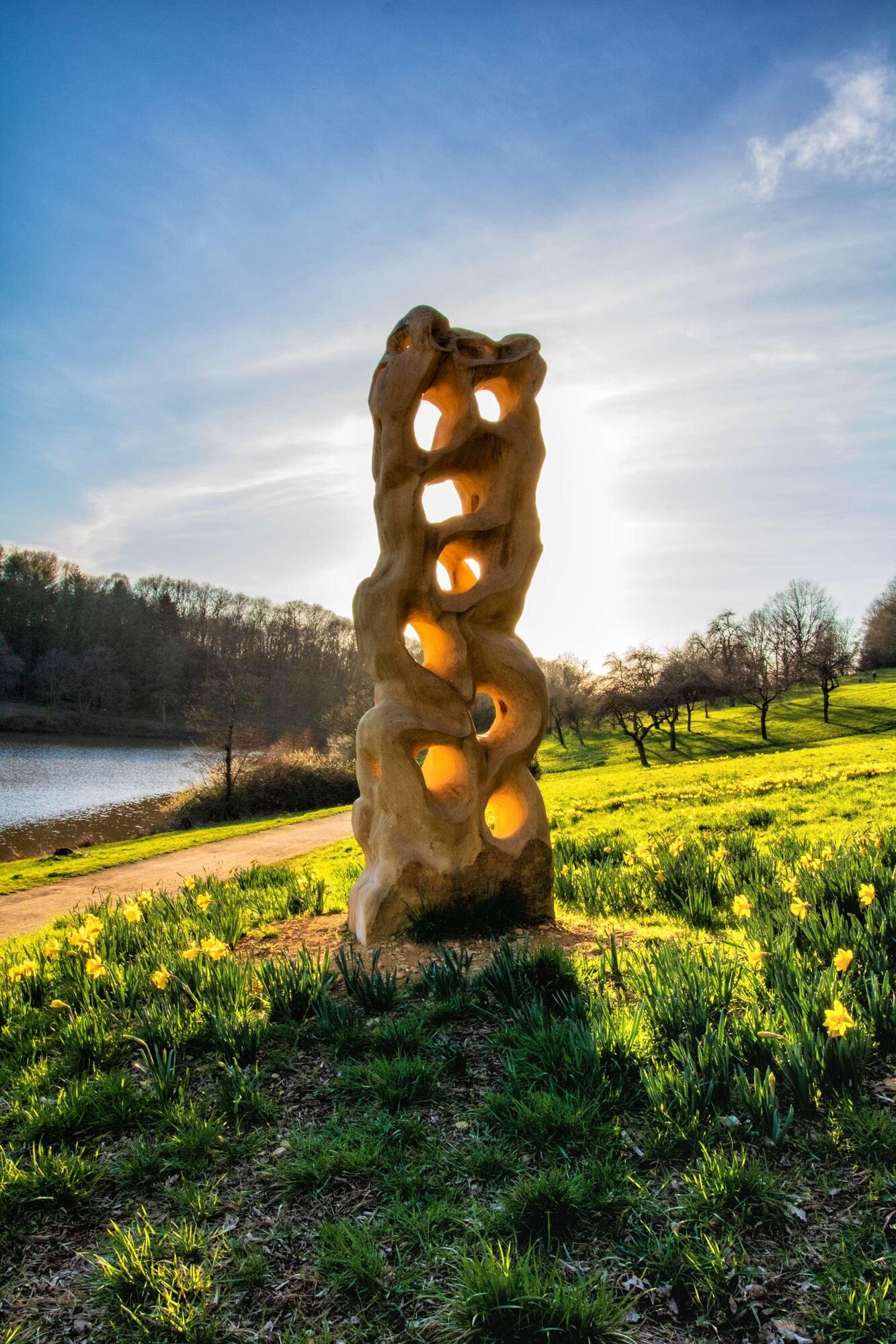
The trail provides an unforgettably picturesque experience, particularly in spring when the large numbers of fruit trees – especially cherry trees – in the Kohlbach valley are in full bloom.
- Additional information
-
Feedback, errors or omissions? Contact us by email: radwege@lbm.rlp.de www.radwanderland.de (responsible for infrastructure and route description).
- Public transportation
-
There is no direct connection to the railway network.
The starting point in Schönenberg-Kübelberg can be reached from Glan-Münchweiler train station (approx. 10 km) or Homburg train station (approx. 7km), and via the Glan-Blies Cycle Route.The heritage railway in Osterbrücken runs individual trips between Schwarzerden and Ottweiler.


- Author
-
The tour Cherry Route is used by outdooractive.com provided.