© Unbekannt - Horst Hohn
© Lahntal Tourismus Verband e. V. - ZZ-Ulf Klimke
© Unbekannt - Horst Hohn

© Unbekannt - Horst Hohn
© Unbekannt - Horst Hohn
© Unbekannt - Horst Hohn

- Brief description
-
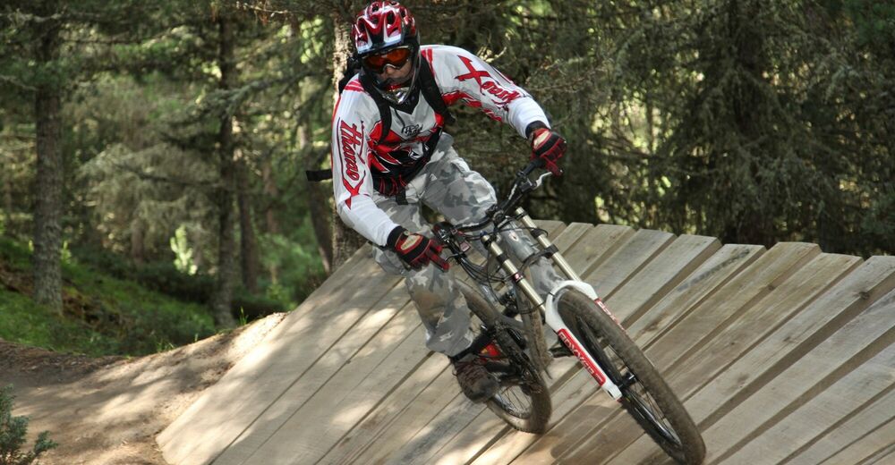
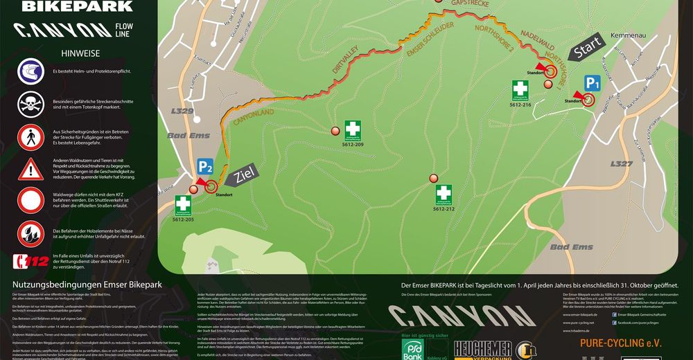
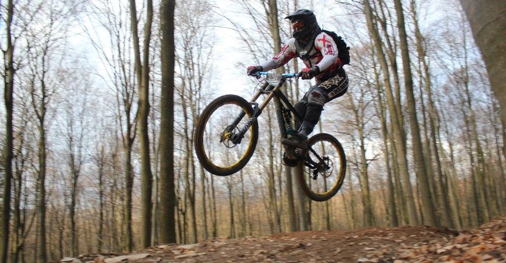
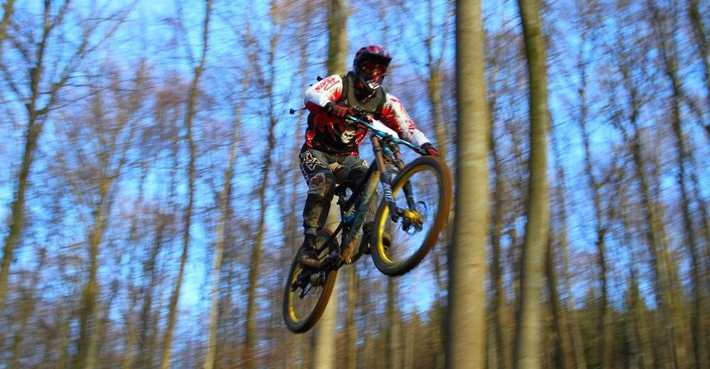
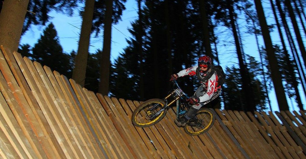
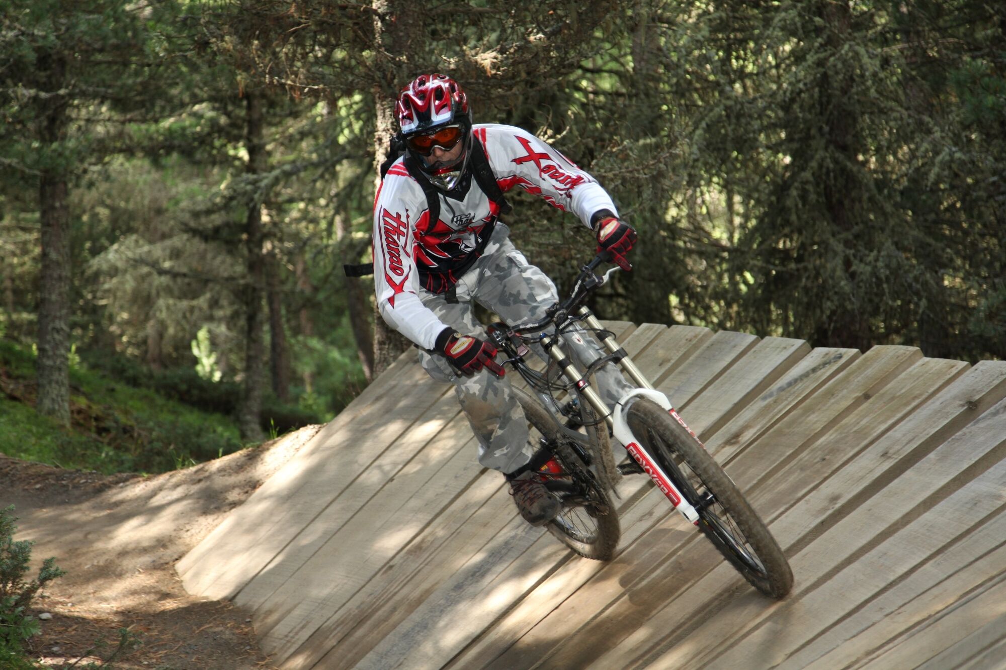
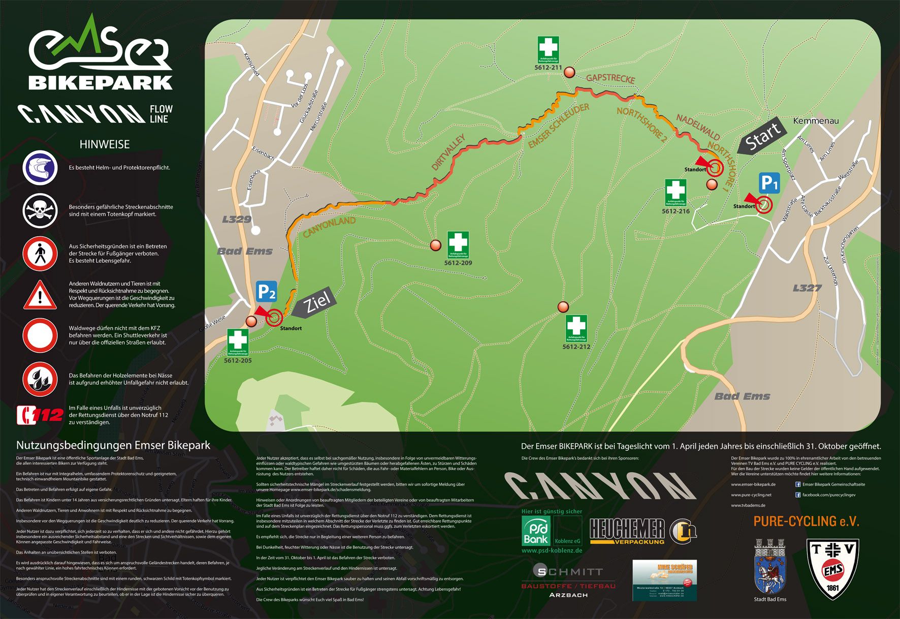
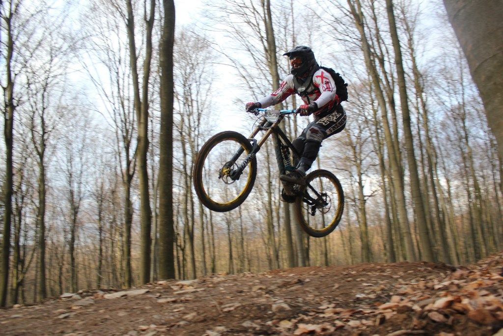
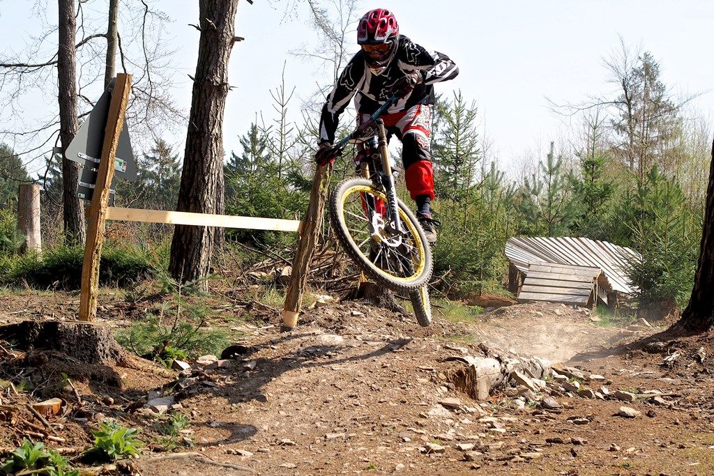
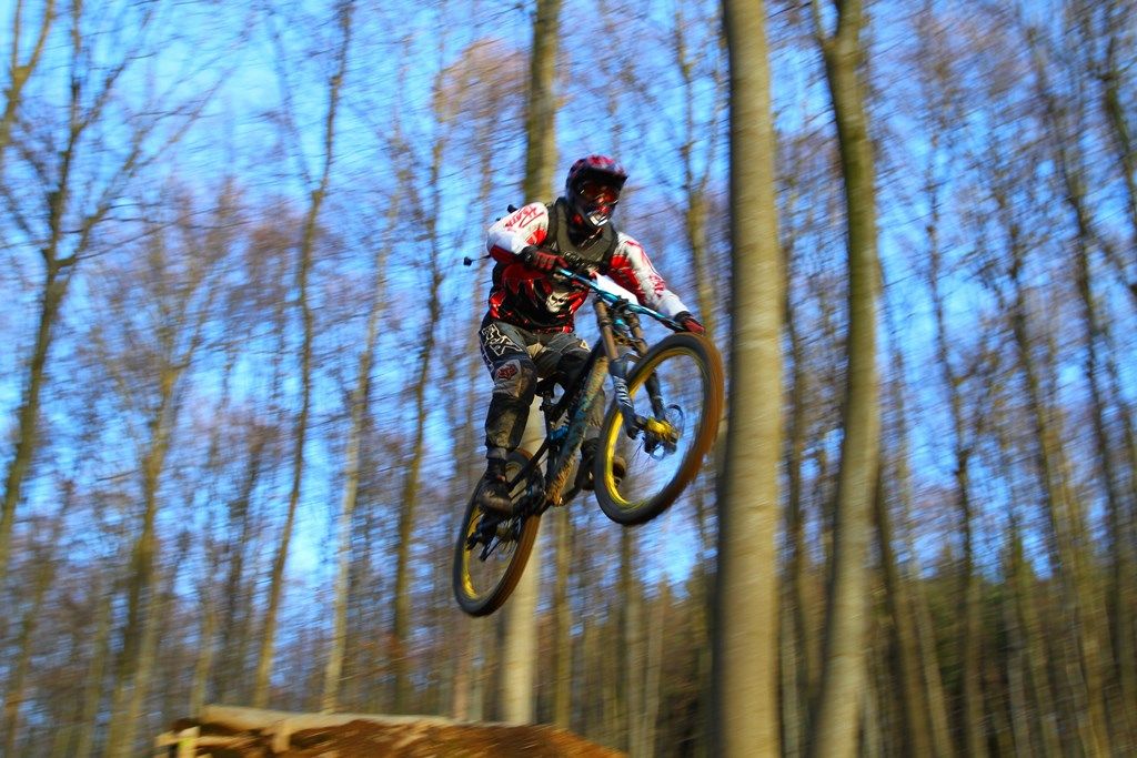
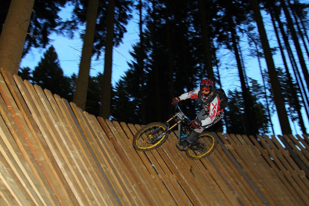
Hoch über Bad Ems lässt ein in der Region einzigartiger Mountainbike-Flowtrail die Herzen aller Biker höherschlagen. Auf 3,8 km Länge werden hier rund 380 Höhenmeter abgebaut.
- Difficulty
-
difficult
- Rating
-
- Route
-
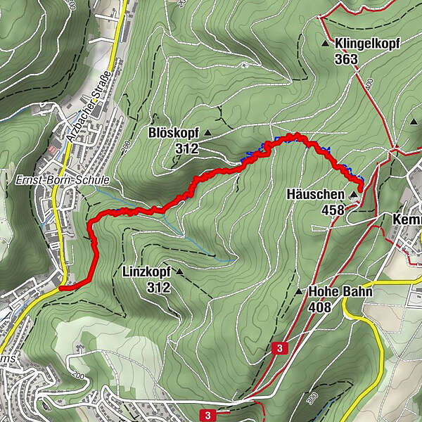
Kemmenau (382 m)Bad Ems3.0 km
- Best season
-
JanFebMarAprMayJunJulAugSepOctNovDec
- Highest point
- 450 m
- Endpoint
-
Arzbacher Straße / Bad Ems, GPS Koordinaten: 50°20’35.3″N 7°43’12.5″E
- Height profile
-
 © outdooractive.com
- Author
-
The tour MTB-Flowtrail "Emser Bikepark" is used by outdooractive.com provided.
GPS Downloads


General info
Refreshment stop
Other tours in the regions