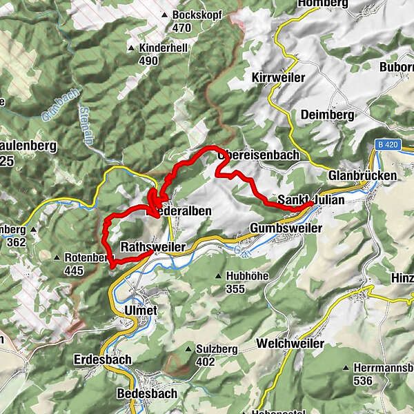
Rathsweiler - St.Julian - Veldenz-Wanderweg - Stage 2 (Leading-Quality-Trail - Best of Europe)


- Brief description
-
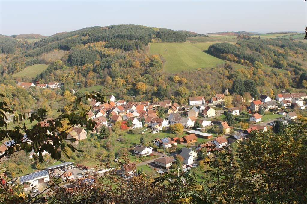
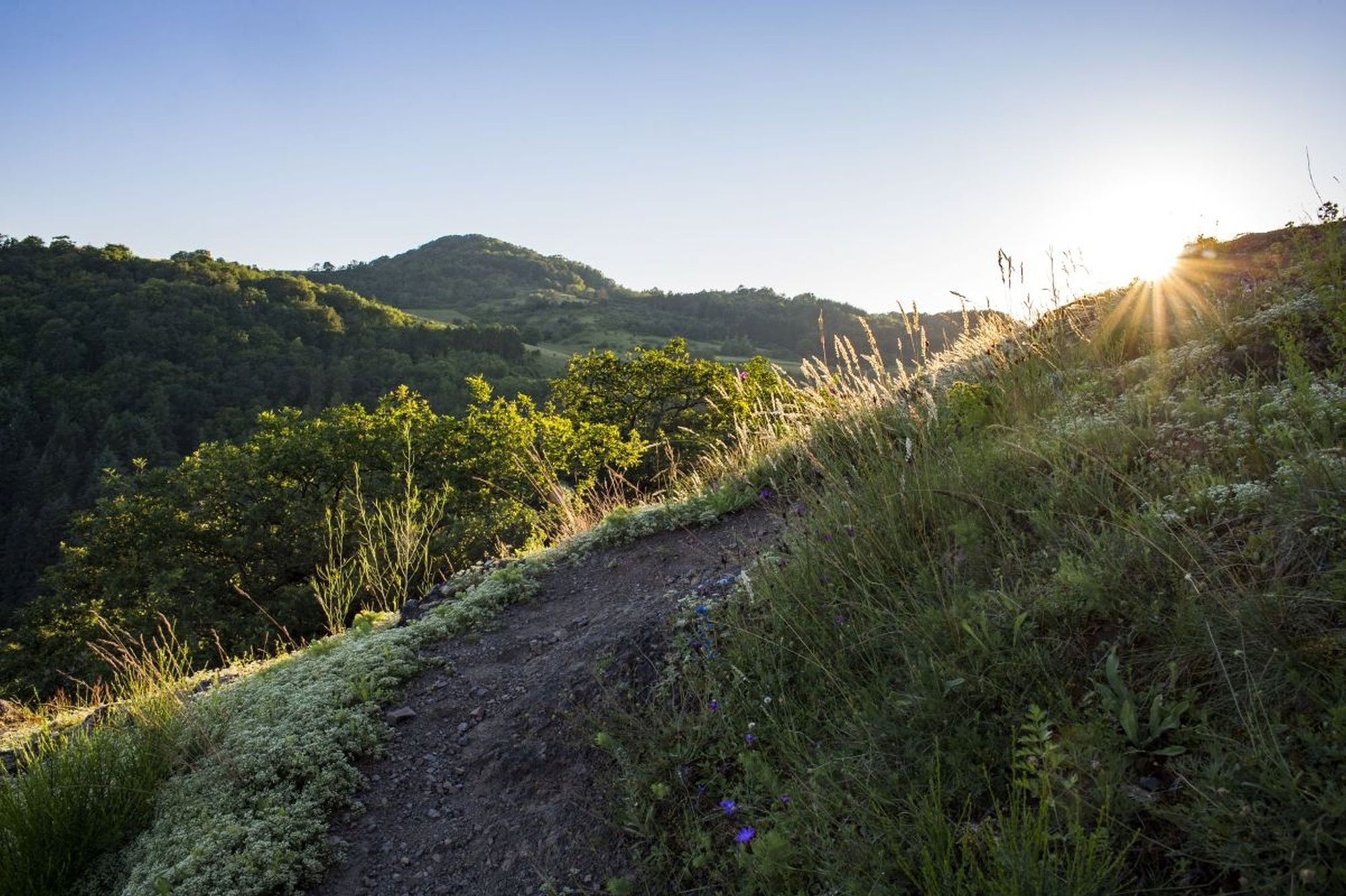
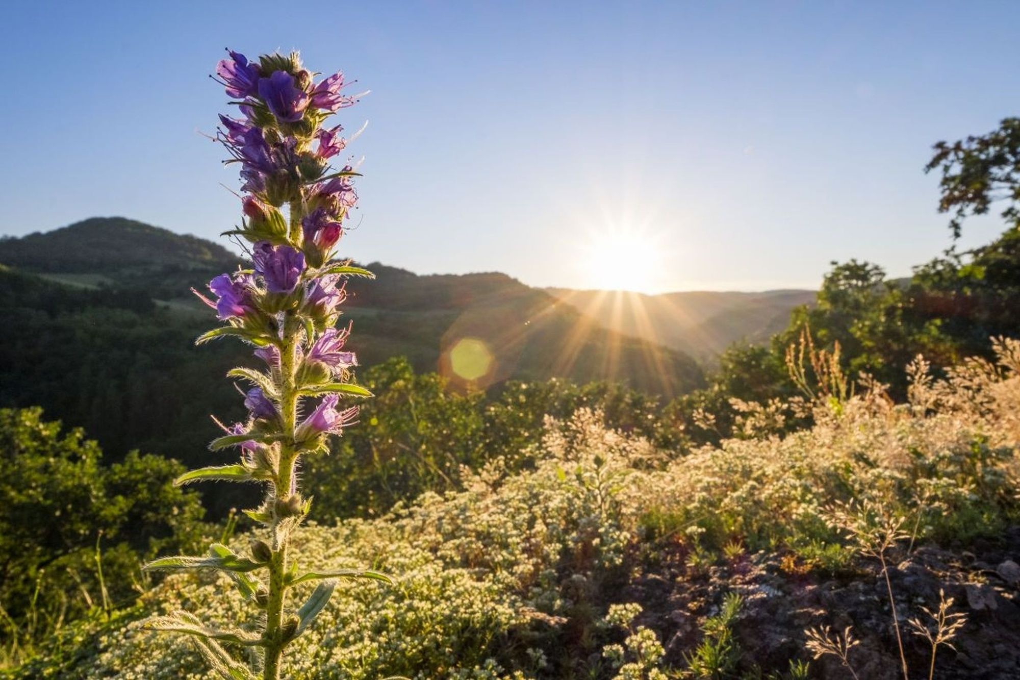
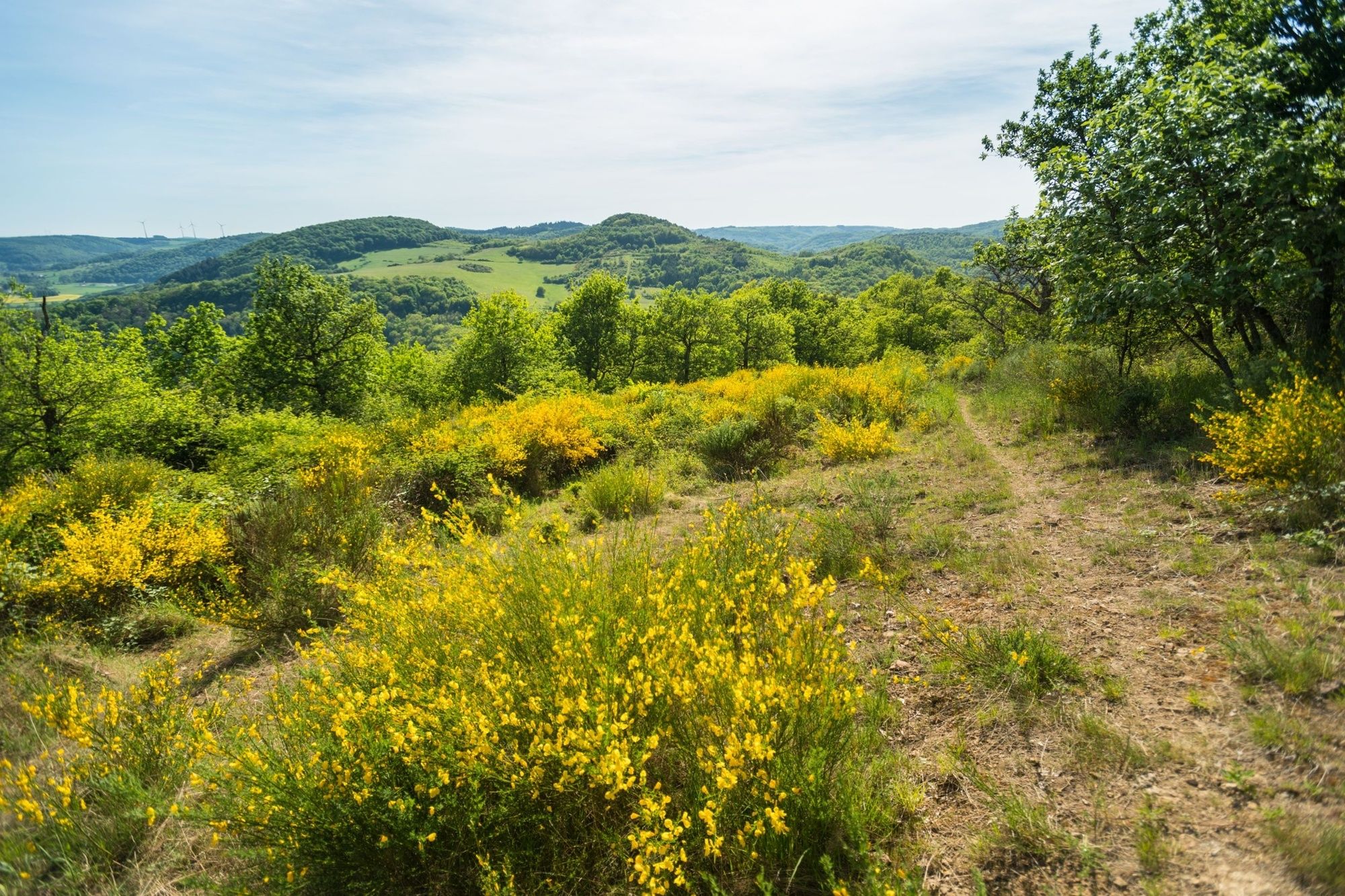
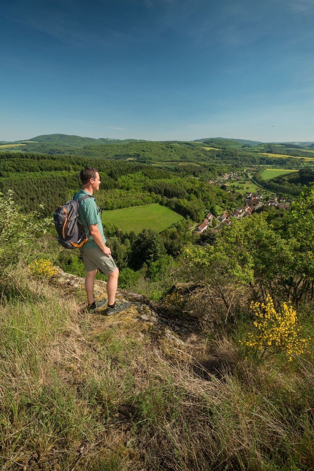
The nature reserve "Mittagsfels" with its unusual flora (for example, the pasque flower) and its fantastic panoramic views overlooks the Steinalptal near Niederalben. Just to be up here is well worth doing the 2nd stage of the Veldenz-Wanderweg.
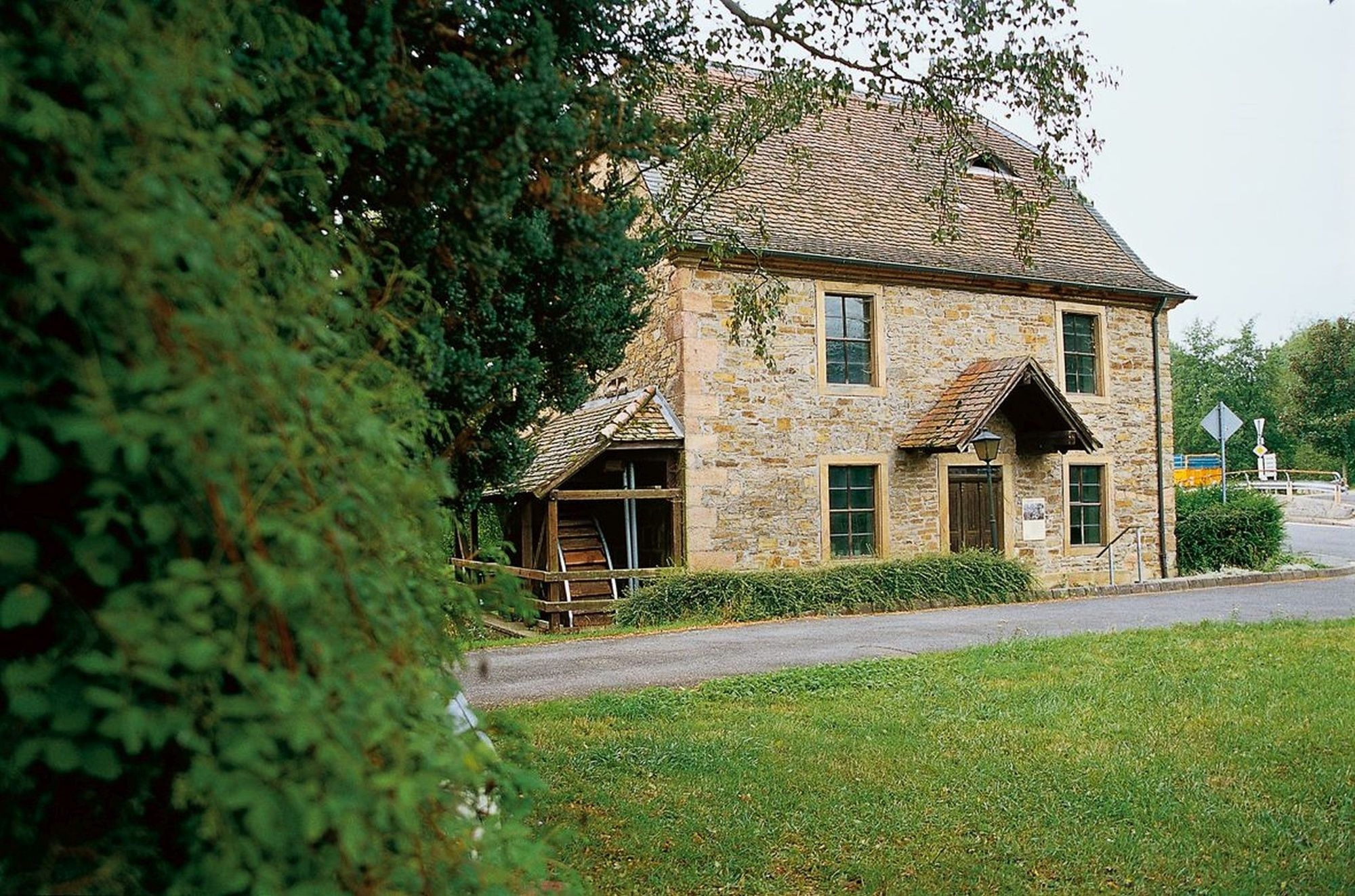
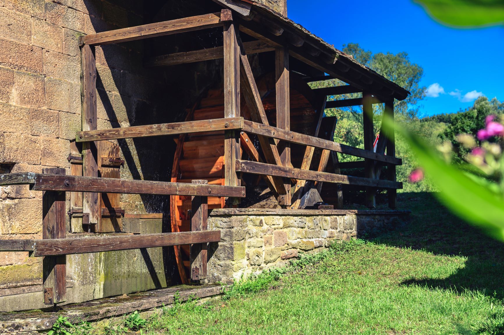
Another highlight of this tour is a visit to the historic oil mill of St. Julian, a true gem in the history of handicrafts – visits by appointment.
- Difficulty
-
difficult
- Rating
-
- Starting point
-
Glanstraße 17, 66887 Rathsweiler
- Route
-
RathsweilerGlantalblick1.3 kmRastplatz Adenteich2.3 kmNiederalben5.8 kmZur schönen Aussicht7.1 kmBank und Tisch9.7 kmProtestantische Kirche11.8 kmSankt Julian11.9 km
- Best season
-
JanFebMarAprMayJunJulAugSepOctNovDec
- Description
-
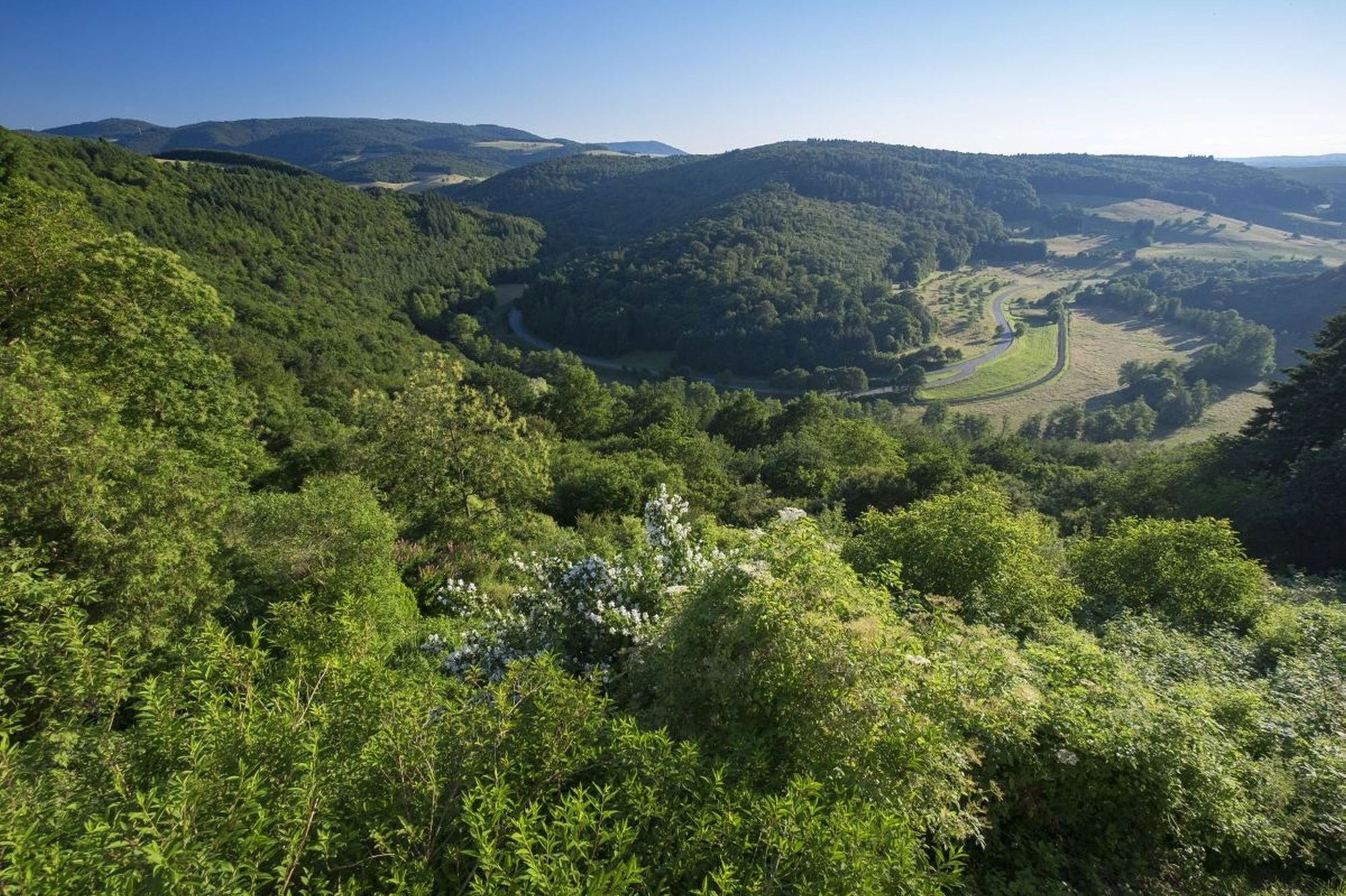
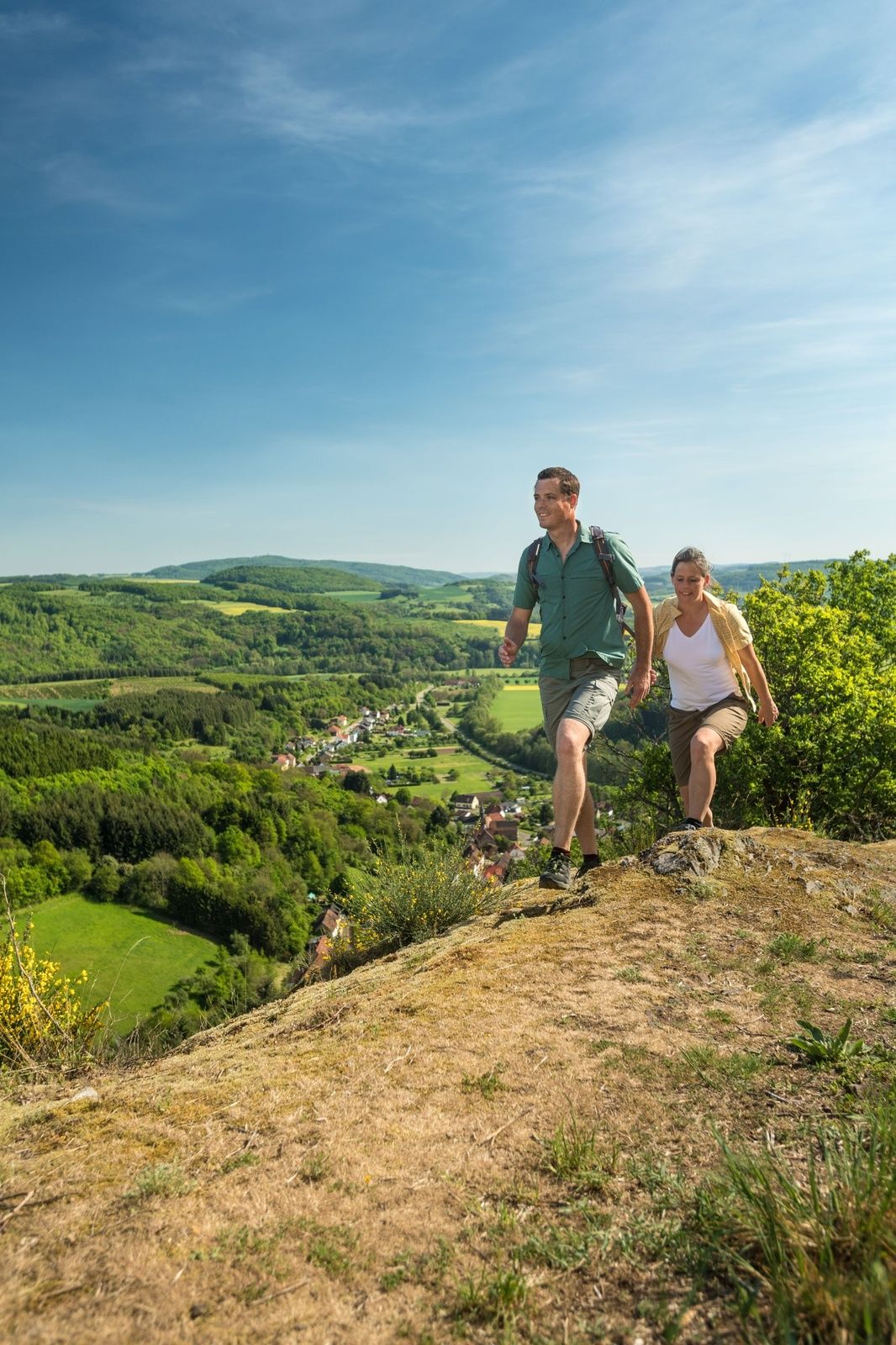
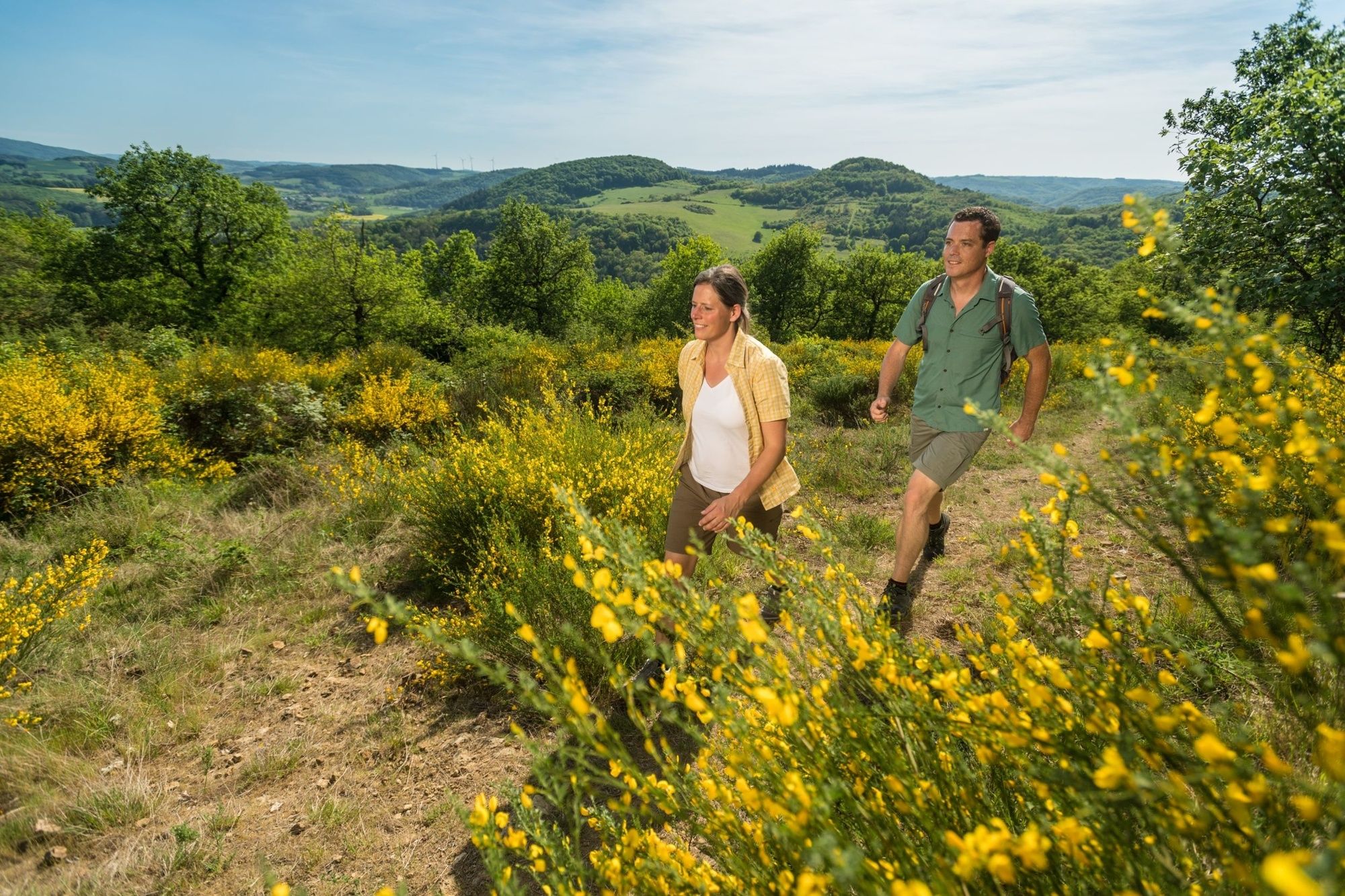
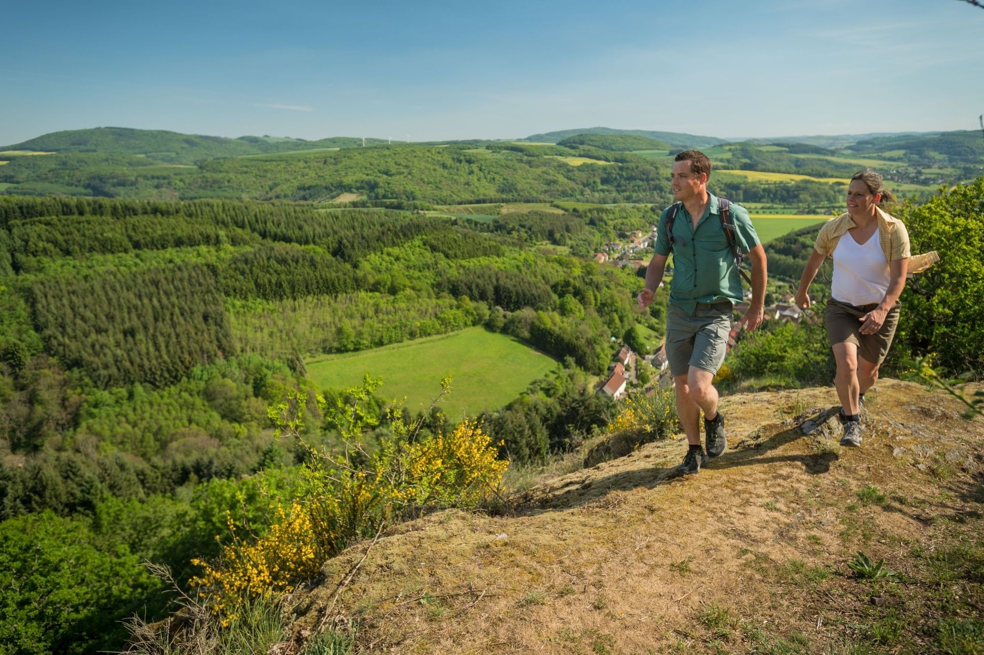
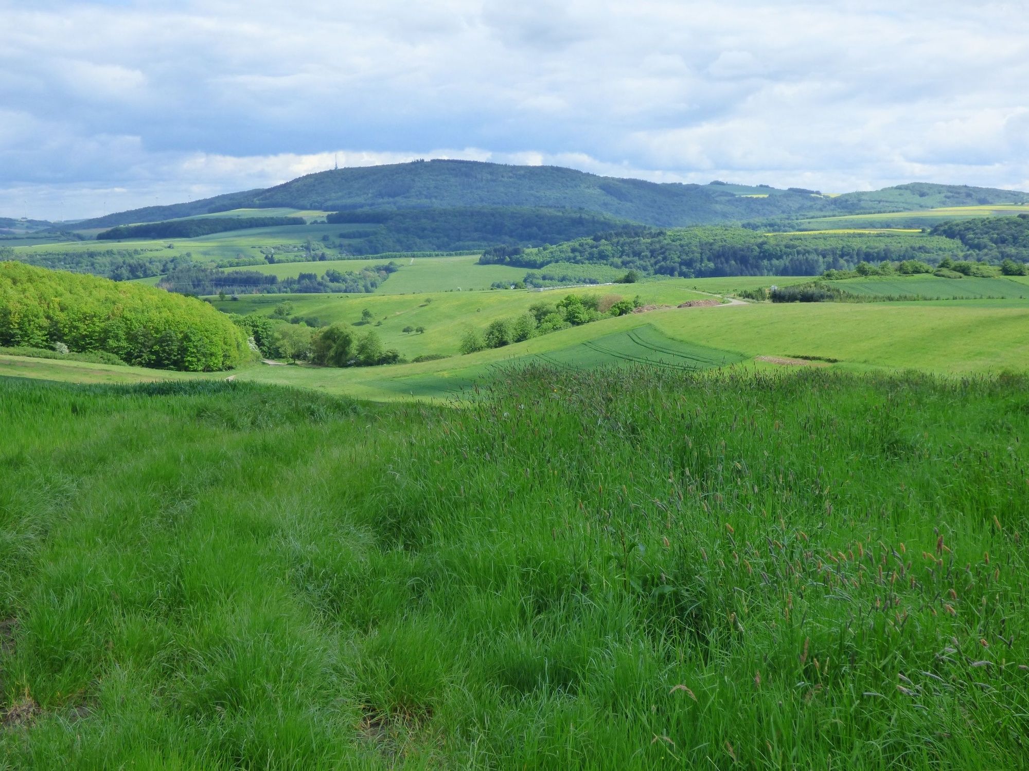
The Veldenz-Wanderweg passes through the uneven landscape of the Palatinate highlands, lined with stunning panoramic views towards the Hunsrück and the Palatinate.
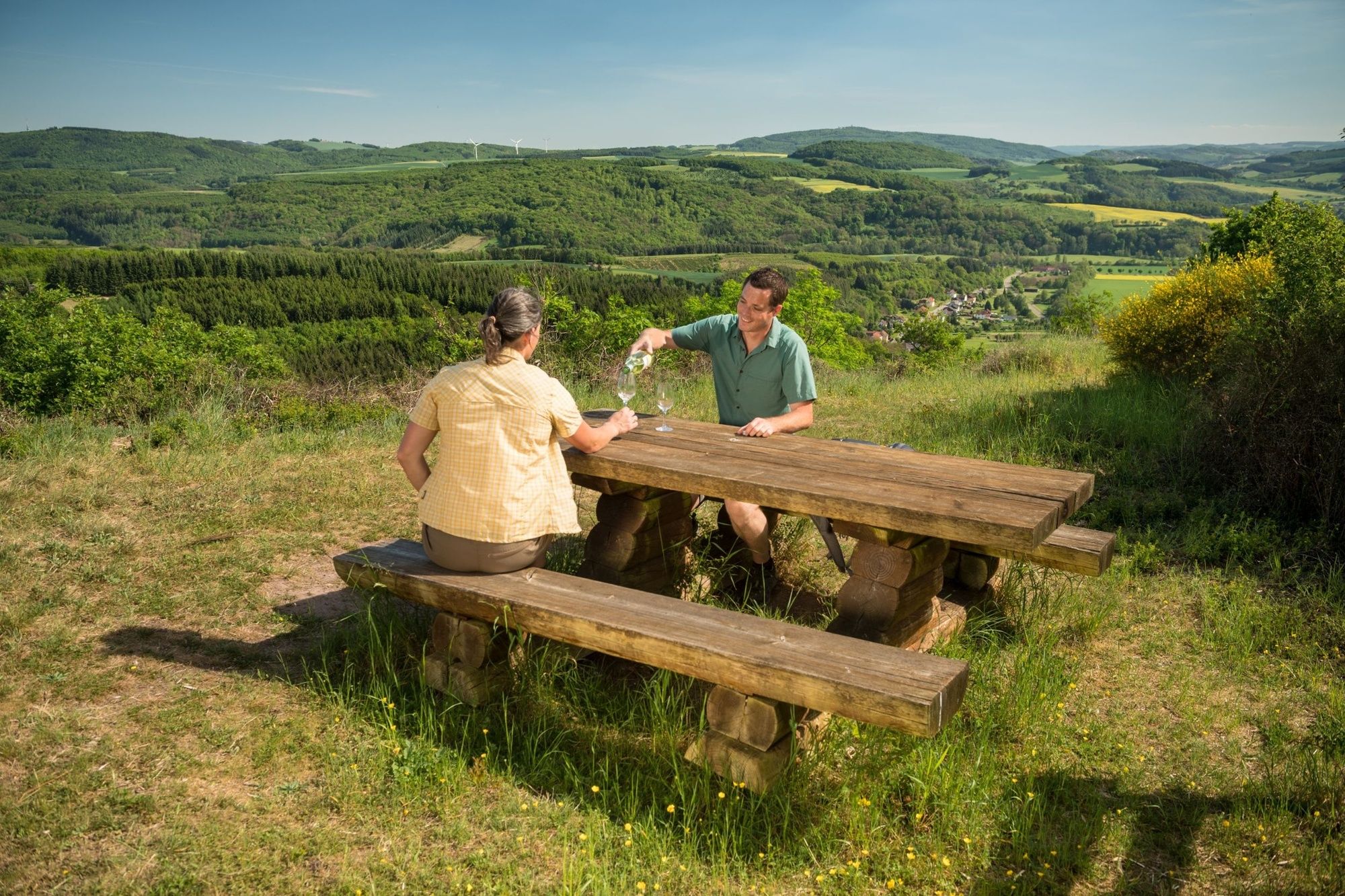
Along the way, romantically-situated benches invite you to sit down and enjoy the views.
Food and refreshments are available at the restaurant "Zum Steinalbtal" in Niederalben.
- Directions
-
Starting from the village centre of the small village of Rathsweiler, we take the marked trail going uphill and soon turn right onto the main path. From here, you have already the first great views of the Glan valley.
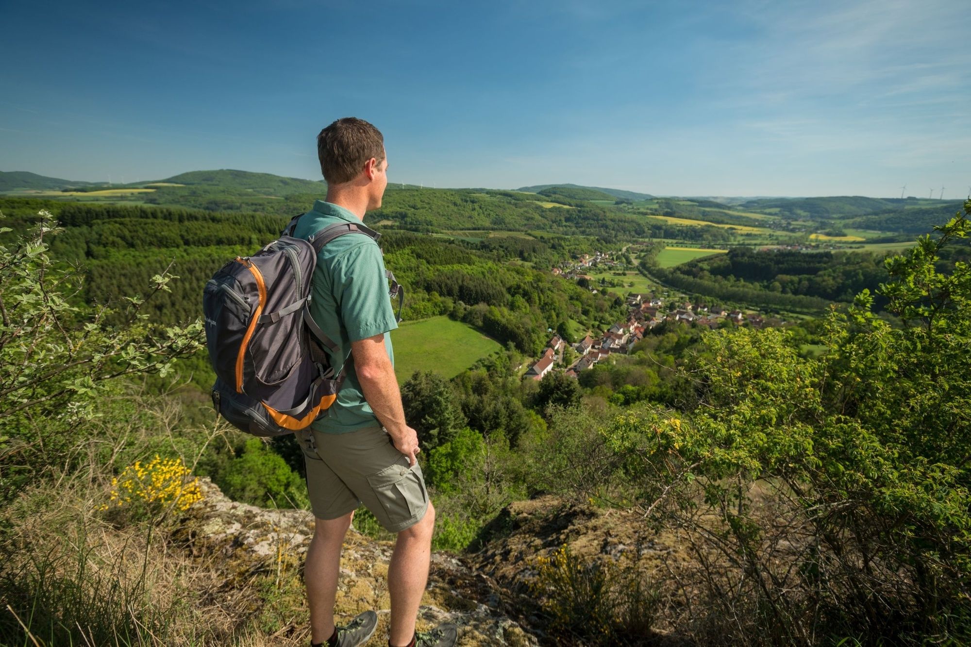
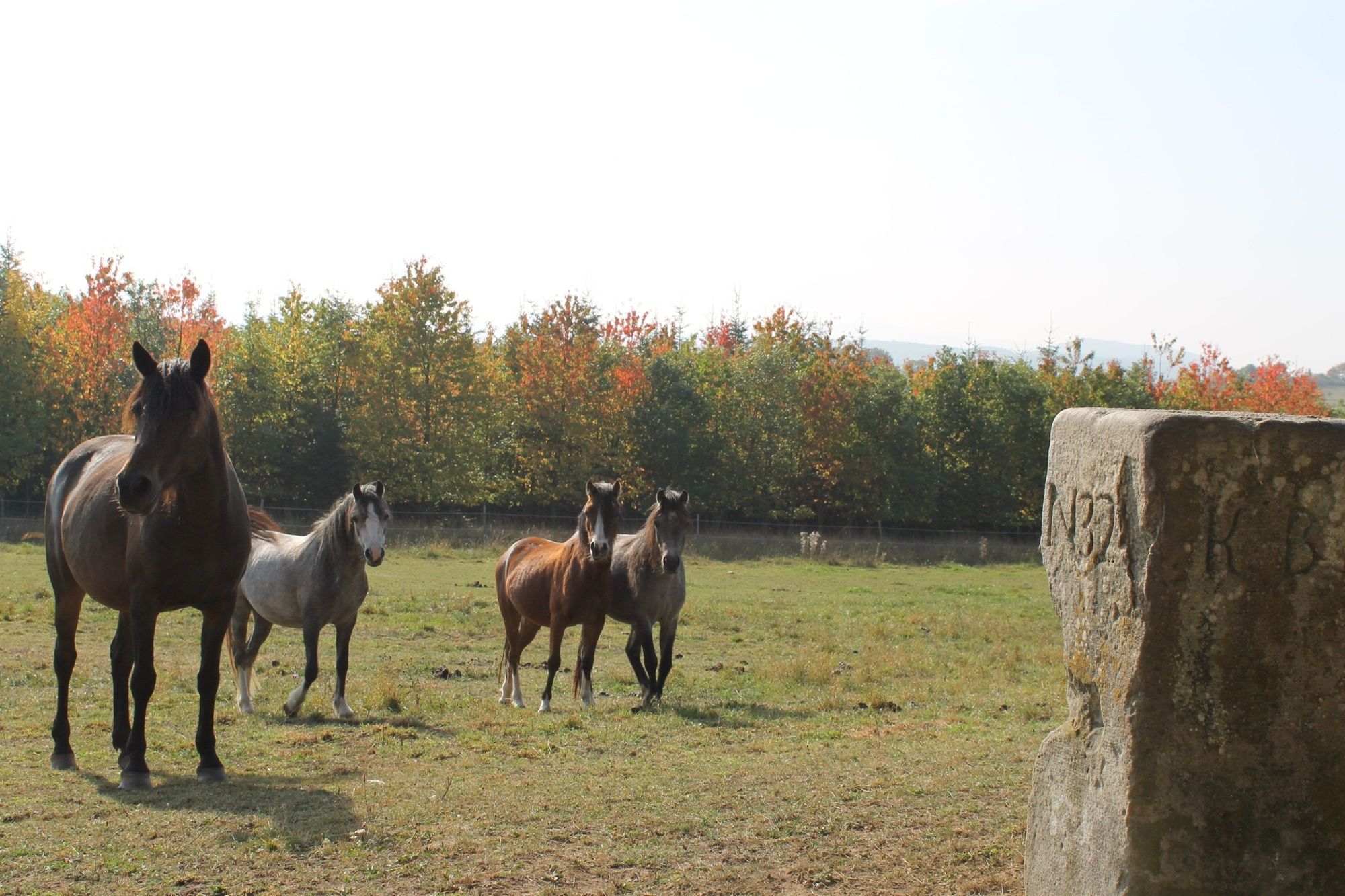
Now we dive into the dense forest of Rathsweiler, past the entrance of a disused mine. It continues uphill along narrow, winding paths and after leaving the forest we have also left behind us Rathsweiler. Along the lush hillside meadows we can already see the Mittagsfels but before we climb up to it, we descend into Niederalben, past the pottery belonging to Doris Horbach. The Steinalp feeder river flows into the River Glan at Niederalben where it meanders idyllically through the valley . Passing horse paddocks we reach Niederalben and then, at the cemetery can take the climb up to the nature reserve of Mittagsfels.
Almost Alpine in character the climb is long and strenuous so that you need correspondingly sturdy shoes, but on the other hand, it is so exciting and varied in character that the effort needed to climb it is a minor matter. Rare plants and fascinating rock formations characterize the trail, as well as the wide open views into Steinalptal and Glantal - and all in a glorious silence. Having then reached the summit, a snack is an absolute must!
We continue walking along the ridge and then go up along the edge of a military training area along winding paths to arrive at St. Julian, the end of this 2nd stage.
- Highest point
- 390 m
- Endpoint
-
Hauptstraße 56, 66887 St. Julian
- Height profile
-
 © outdooractive.com
 - Equipment
-
Hiking gear and sturdy shoes are required.
Walking sticks are recommended!
- Safety instructions
-
Partial results of the footpath across narrow paths and rocks. Good footwear is required. For prams areas in the nature reserves are not suitable!
Especially in the fall is also necessary to ensure that the leaves lying on the ground can conceal irregularities, roots, rocks or holes in the road. With paths impairments of this kind you can expect when you take a hike. Should you be of the opinion that these are not accessible to you in certain ways sections, then you should get round. Especially in adverse weather conditions, it may at natural ways to muddy and slippery passages come.
- Tips
-
The Mittagsfels with fantastic views is an insider’s tip - even if only to rest.
- Additional information
- Directions
-
From Kaiserslautern Coming on the A62, exit Kusel, then the B 420 to Rathsweiler or on the L 376 to Altenglan, then on the B 420.
- Public transportation
- Parking
-
Village center 66887 Rathsweiler, Glanstraße
Coordinates: 49° 35´ 54´´ N / 7° 27´ 33´´ E
Public parking in 66887 St. Julian, Steige
Coordinates: 49° 36´ 31´´ N / 7° 30´ 41´´ E
Wohnmobilstellplatz at Ölmühle 66887 St. Julian, Mühlstraße
Coordinates: 49° 36´ 25´´ N / 7° 30´ 46´´ E

- Author
-
The tour Rathsweiler - St.Julian - Veldenz-Wanderweg - Stage 2 (Leading-Quality-Trail - Best of Europe) is used by outdooractive.com provided.


General info
-
Mosel-Saar
1077
-
Pfälzer Bergland und Donnersberg
406
-
Idar-Oberstein
81