Saar-Hunsrück Climb - 8th leg: Reinsfeld - Hermeskeil - Nonnweiler


- Brief description
-
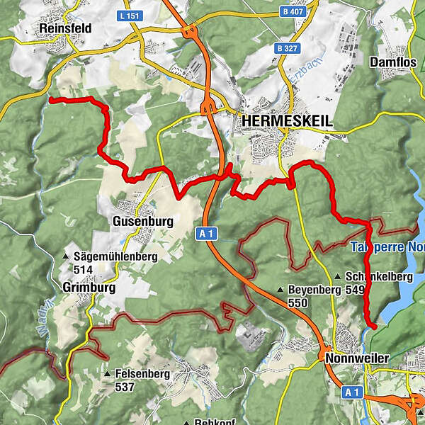
The 8th stage of the Saar-Hunsrück Climb leads from Reinsfeld via the city of Hermeskeil to Nonnweiler.
- Difficulty
-
medium
- Rating
-
- Route
-
Hermeskeil10.7 km
- Best season
-
JanFebMarAprMayJunJulAugSepOctNovDec
- Description
-
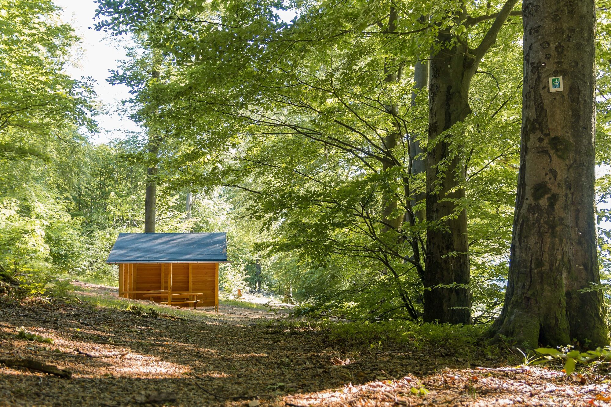
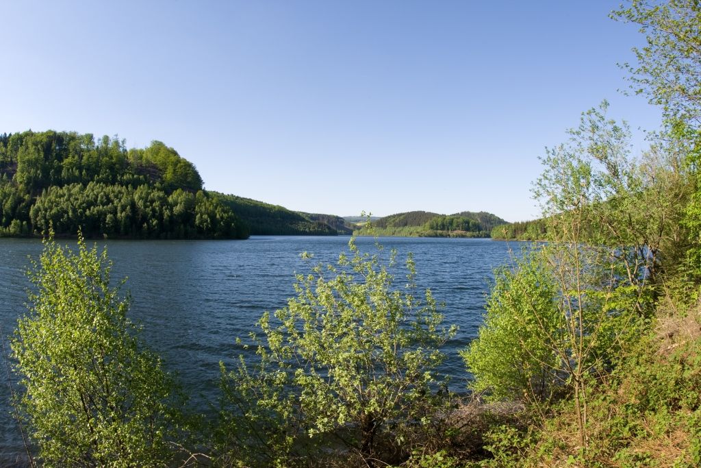
This stage offers a successful mix of narrow brook valleys and wide views. We start at the “Frau Holle” rock formation in the Wadrilltal, reach a ridge through an idyllic side valley and walk from there on narrow forest paths into the next brook valley.
Again it goes uphill to the heights near Gusenburg. We can enjoy very beautiful views over several kilometers. Again it goes downhill into the Löstertal and then to the heights at Hermeskeil with beautiful views of Hermeskeil and the surrounding area. Hermeskeil can be reached via two access roads for overnight stays or shopping.
From the heights it goes into the romantic Forstelbachtal. A natural path runs parallel to the stream and enables a sensual experience of this natural landscape. In the second part we walk on a wider path along a long chain of ponds.
The access road to the stage destination Nonnweiler begins below the dam. - Highest point
- 605 m
- Endpoint
-
Nonnweiler
- Height profile
-
 © outdooractive.com
 - Equipment
-
We recommend sturdy shoes (hiking boots) and weather-appropriate hiking clothing on all stages.
- Safety instructions
-
The Saar-Hunsrück-Steig is a natural path, 65% of which is over soft forest floor, over grass paths or along streams. However, this special quality can also lead to problems after long periods of rain and make parts of the path more difficult to walk on. Therefore, sturdy shoes are strongly recommended.
- Tips
-
There are numerous museums in and around Hermeskeil.
- Public transportation
-
Information on how to get there can be found on the Saar-Hunsrück-Steig website under Arrival

-
-
AuthorThe tour Saar-Hunsrück Climb - 8th leg: Reinsfeld - Hermeskeil - Nonnweiler is used by outdooractive.com provided.


General info
-
Mosel-Saar
1078
-
Hochwald Ferienland
386
-
Hermeskeil
85