RheinBurgenWeg Stage 10: Bassenheim - Andernach (South - North)


- Brief description
-
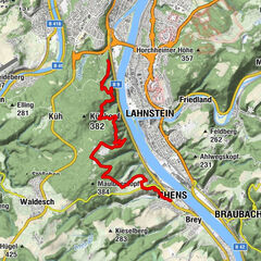
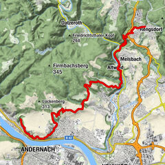
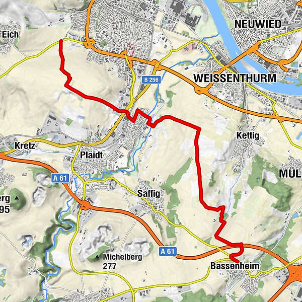
Bassenheim – Kettiger Bach – Miesenheim – Bürgerhaus – Andernach
- Difficulty
-
easy
- Rating
-
- Starting point
-
Bassenheim
- Route
-
BassenheimNeuwied6.2 kmNatur-Xylophon7.9 kmWasserpumpenspiel7.9 kmKapelle9.2 kmMiesenheim9.3 kmAndernach13.7 km
- Best season
-
JanFebMarAprMayJunJulAugSepOctNovDec
- Description
-
The 10th. Stage of the RheinBurgenWeg takes you to an ancient world of fire and ash! From Bassenheim to Andernach the trail passes wide-stretching pumice stone terraces. Incredible views and the wild and romantic landscape of the Nette Valley leads you back to the Rhine.
- Directions
-
Off into the Land of Fire!
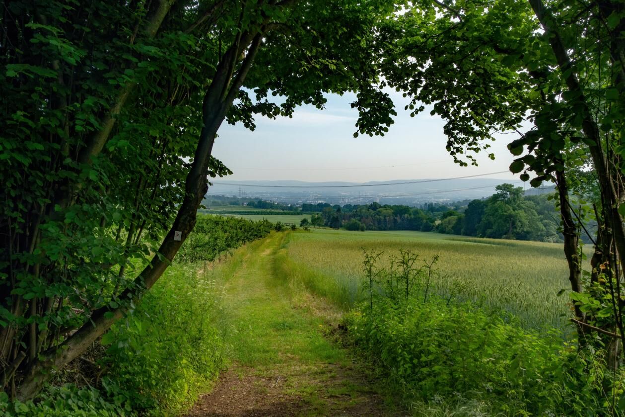
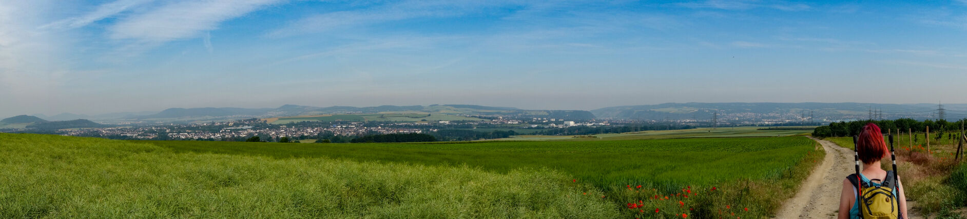
A short path from Bassenheim brings you back to the RheinBurgenWeg at the outskirts of the town on the B258. Quickly pass the cemetery to the bridge over the A61 – that's the last motorway crossing on the RheinBurgenWeg. Soon we also turn our backs on the embankment and with colourful hedgerows on both sides continue over the high plateau dominated by fields, where in clear weather, a magnificent panoramic vista extends out in front of you! Pass the path to the "Orchard Trail" premium hiking trail, and continue to the Kettigerbach Valley where countless fruit trees bear abundant fruit. Back to the, at times, very windy plateau, passing as you go the paths to Saffig and Kettig. As the path turns off to Weissenthurm, your gaze is involuntarily drawn to the profile of majestic pumice terraces. You soon arrive in Miesenheim where the RheinBurgenWeg follows the idyllic River Nette, but soon the signposts are pointing the way through the tranquil streets of the town. Turn your back on Miesenheim when you reach the station and climb across open land towards the community centre. What a view! You can see for miles on all sides, and thus take in the wondrous volcanic peaks of the foothills of the Eifel as well as the Neuwied Basin. With a spring in your step, the RheinBurgenWeg continues over leafy paths downhill to the L116, where the path turns off towards Andernach.
- Highest point
- 222 m
- Endpoint
-
Andernach
- Height profile
-
 © outdooractive.com
 - Equipment
-
Hiking boots/shoes
Suitable weatherproof clothing
- Directions
-
From Mayen or Koblenz you can get to Bassenheim via the B258. To get to Andernach follow the B9 along the Rhine.
- Public transportation
-
You can get to Bassenheim from Koblenz or Mayen with regional bus no. 350 (www.vrminfo.de). There is a train station in Andernach (www.die-bahn.de).
- Author
-
The tour RheinBurgenWeg Stage 10: Bassenheim - Andernach (South - North) is used by outdooractive.com provided.