


- Brief description
-
This stretch offers idyllic wine locations, Roman cultural heritage and a richly varied landscape.
- Difficulty
-
easy
- Rating
-
- Starting point
-
Nittel
- Route
-
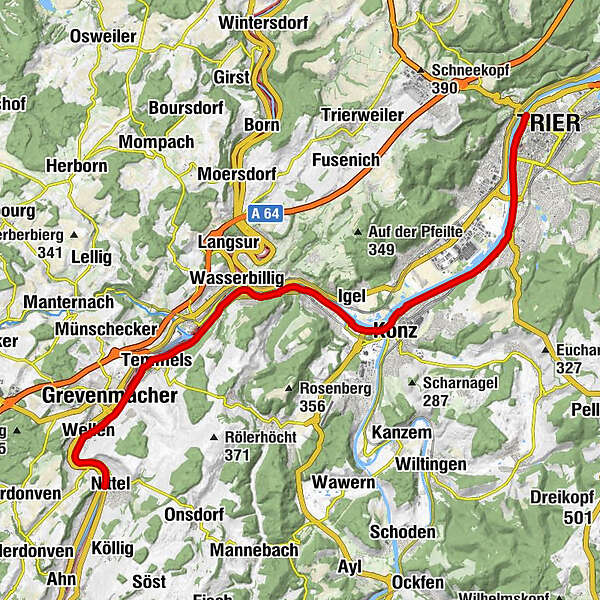
NittelMachtum0.7 kmWellen2.5 kmSt. Kunibert2.6 kmpehna's Restaurant2.6 kmWellen-Grevenmacher3.1 kmGrevenmacher3.9 kmTemmels5.6 kmSt. Peter5.9 kmMertert7.5 kmOberbillig9.6 kmWasserbillig9.7 kmOberbillig9.8 kmReza's Restaurant9.9 kmWasserbilligerbrück10.1 kmWasserliesch12.6 kmReinig13.1 kmKonz14.9 kmLöllberg17.0 kmKarthaus17.3 kmMatthias21.4 kmTrier (137 m)24.3 kmZurlauben24.5 km
- Best season
-
JanFebMarAprMayJunJulAugSepOctNovDec
- Description
-
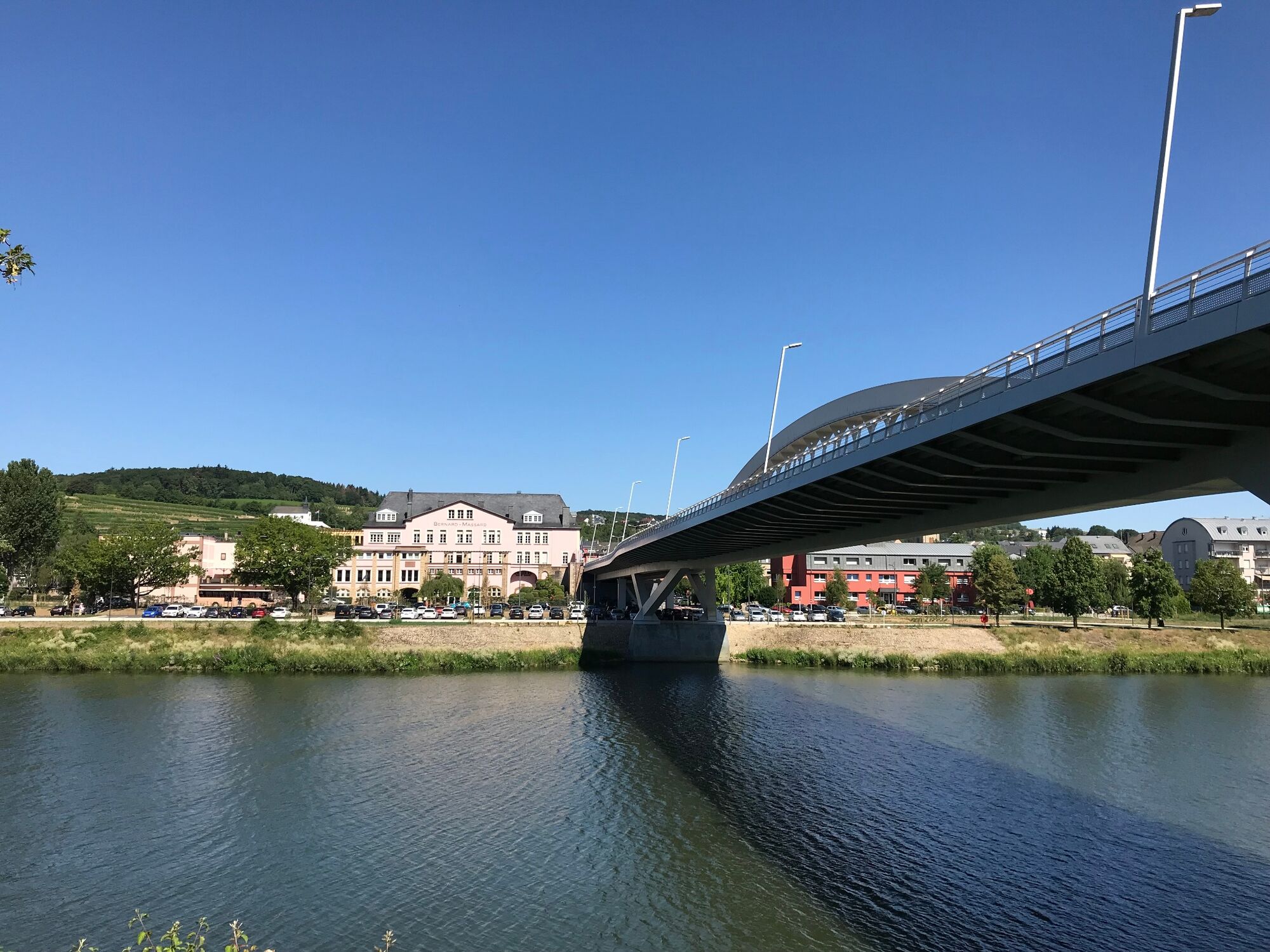
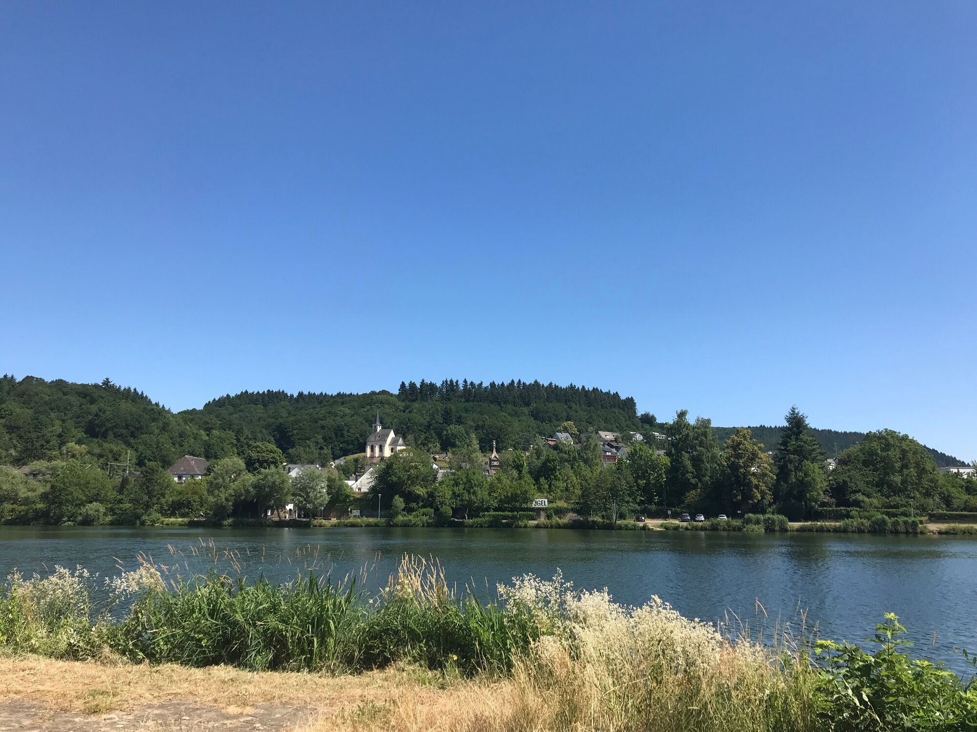
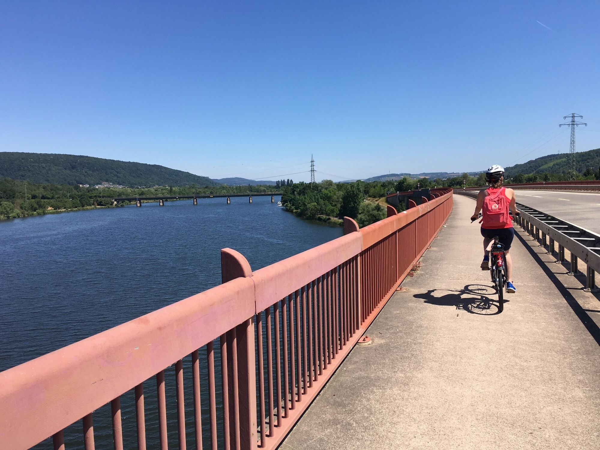
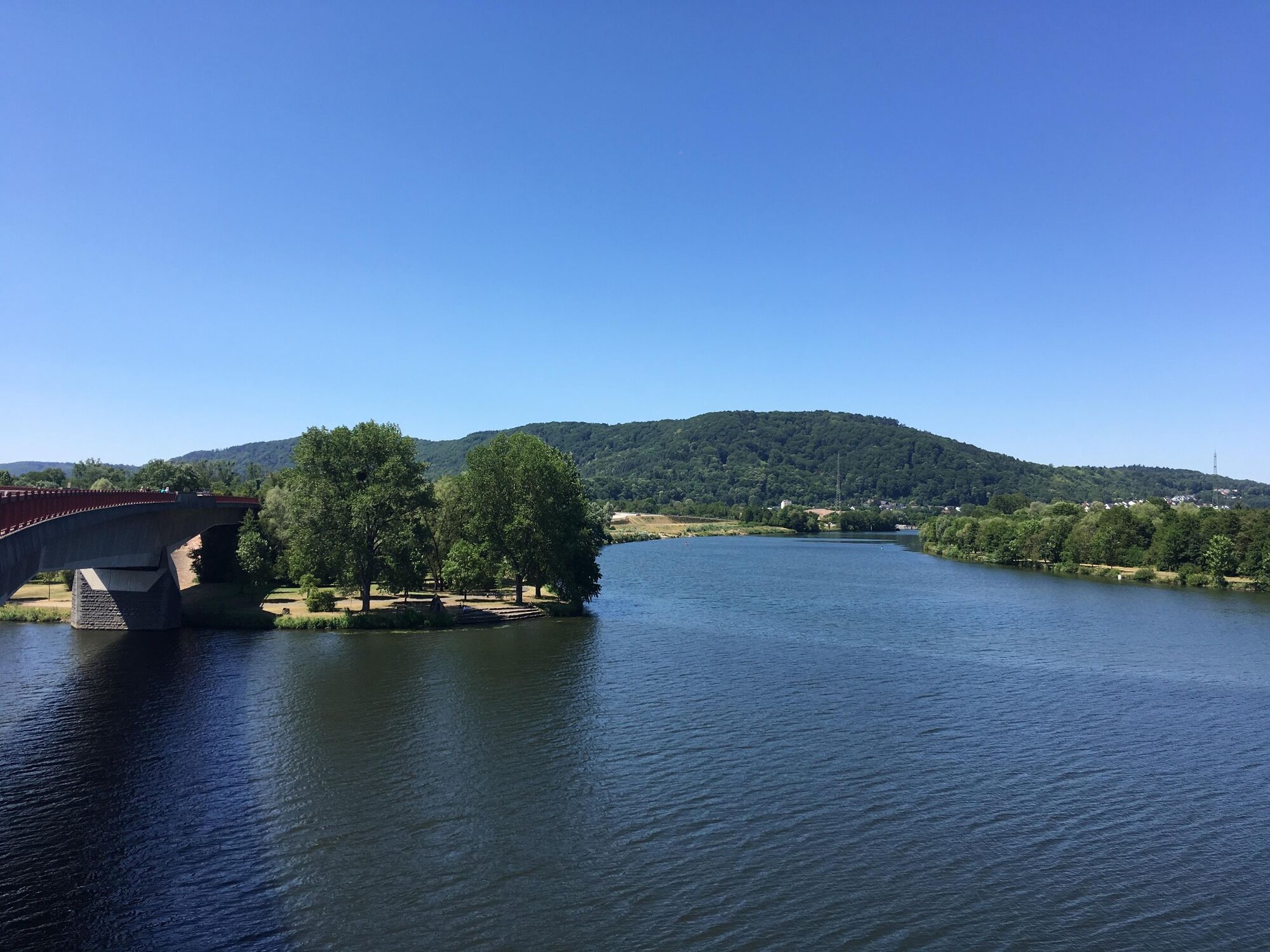
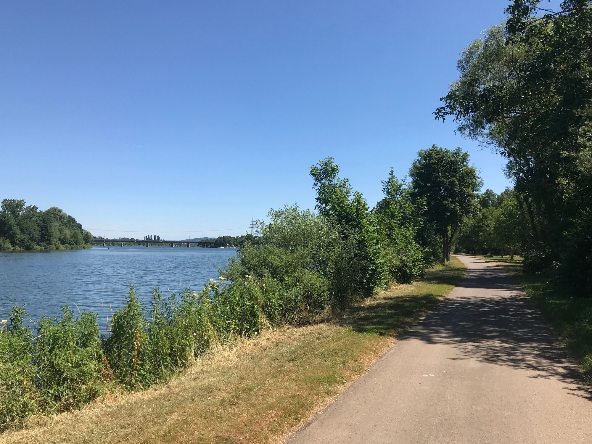
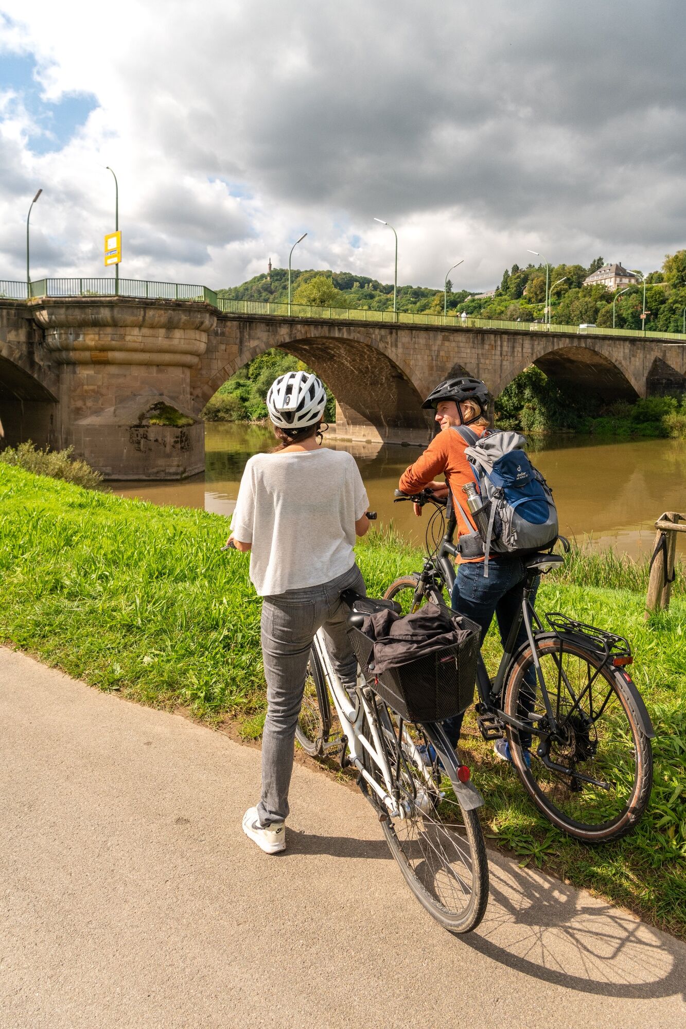
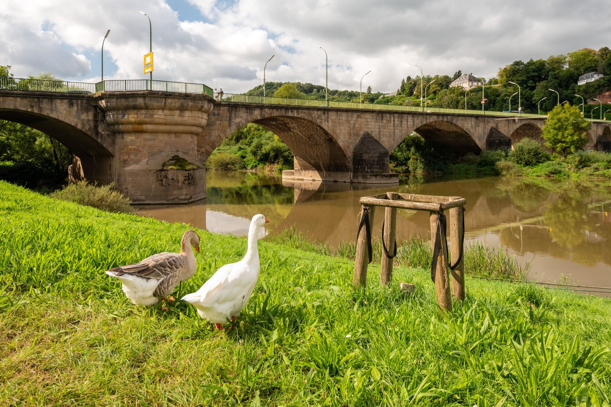
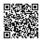
A scenic and culture-rich experience: The second section of the Moselle Cycle Route runs along the right bank of the river to the Moselle metropolis of Trier, around 25 km away. The starting point is the charming wine-making village of Nittel, which lies at the foot of towering dolomite and limestone rocks. The municipality of Oberbillig, which has a ferry connection to Luxembourg’s Wasserbillig, is then reached via Wellen and Temmels. Then, following an even path, it’s onto the city of Konz. Located at the mouth of the Saar, Konz is worth a short stop, offering attractions such as the Open Air Cultural History Museum Roscheider Hof and the remains of a Roman imperial villa. A further 10 kilometres and the end stop of today's tour awaits. Impressive, well-maintained Roman architecture with UNESCO World Heritage Site status and Baroque style parks are some of the attractions the oldest city in Germany has to offer.
- Directions
-
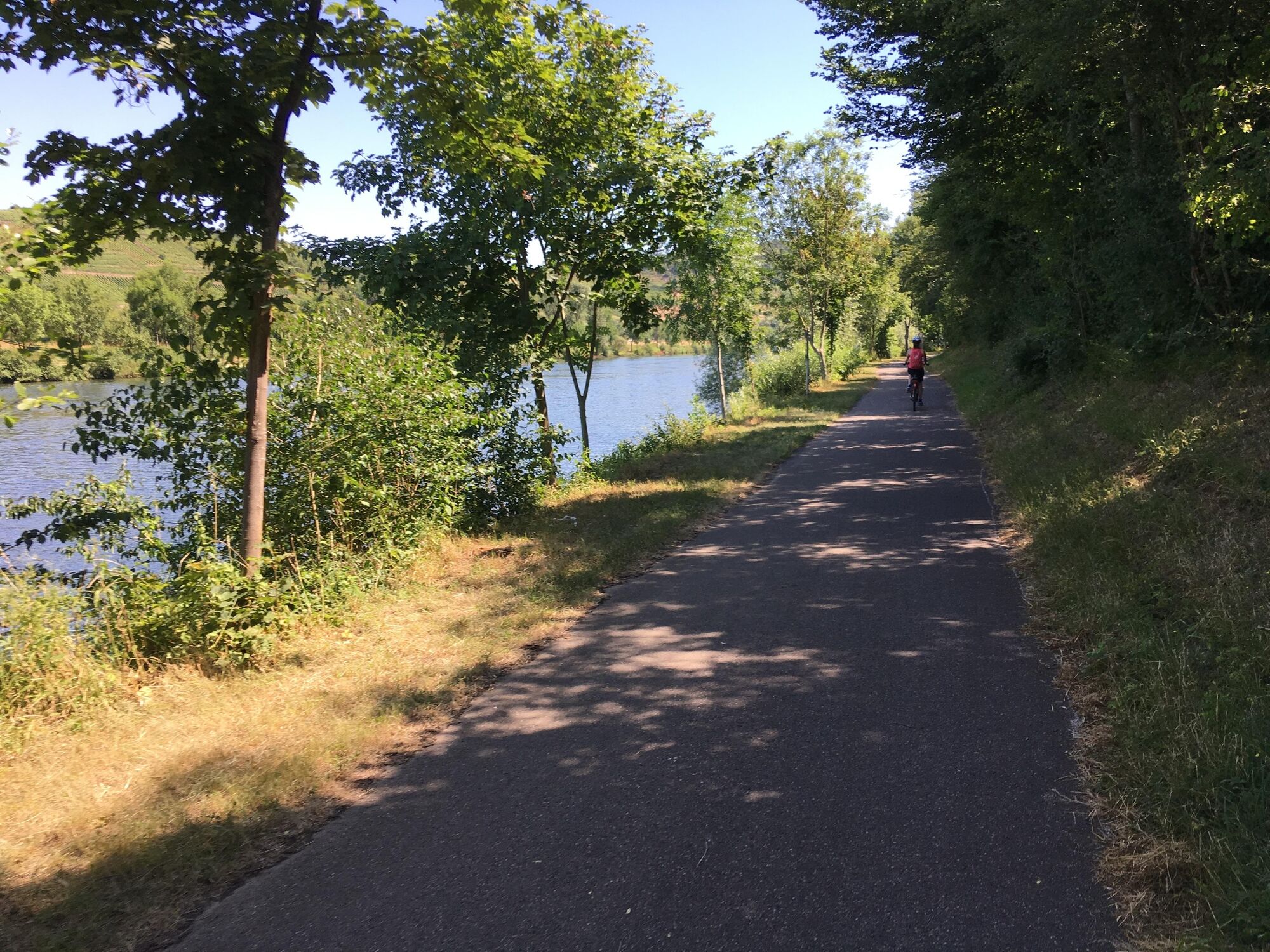
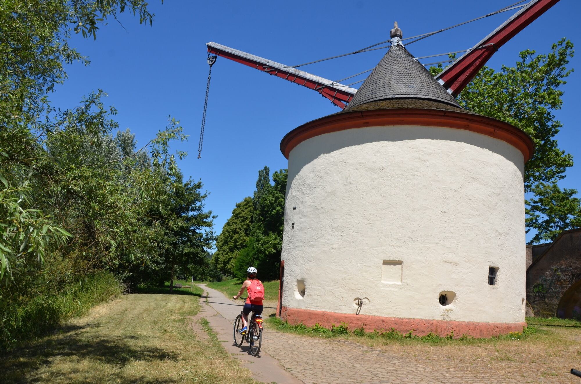
Follow the riverside path between the Moselle and railway tracks to the outskirts of Nittel and continue onto Wellen via the B 419. Follow the Moselstraße road through Wellen. At the end of the village, take the cycle path next to the main road and continue past the train station. Carry on straight ahead at the crossroads by the bridge (to Grevenmacher). After the bridge, turn left towards the Moselle via the B 419 underpass. Once in Temmels, follow the road through the village. In the centre of Temmels, turn left towards the Moselle and then right along the river bank. The route to Oberbillig runs via the main road underpass and then along the village road towards the ferry. At the end of the village, take the narrow cycle path along the river bank, past the sports field to Wasserliesch. Continue along the riverbank and around 400 metres before reaching the mouth of the Saar, turn right onto the bridge via a short ascent, cross the Saar and then turn left down to the Moselle. Then it’s through the Moselle's fields, past the harbour and the grounds of Karthaus Abbey. Continue straight ahead between the Moselle and the railway line to Trier. Pass under the Konrad Adenauer Bridge and the Roman bridge, past the cranes to the Kaiser Wilhelm Bridge and Zurlauben.
- Highest point
- 147 m
- Endpoint
-
Trier
- Height profile
-
 © outdooractive.com
 - Equipment
-
A smartphone to access the audio tour "Lauschpunkte am Mosel-Radweg": Get to know the Moselle region via a series of listening stop-off points. 40 listening stations between Perl and Koblenz encourage you to take a closer look and guide you to surprising discoveries along the way. The “Lauschtour” audio tour app can be downloaded free of charge from the Apple App Store or Google Play.
Remember to take your cycle tour book and your camera.
- Safety instructions
- Tips
-
A short detour (approx. 300 metres) to the Saar estuary near Konz.
It's worth taking part in a guided tour of Trier at the end of this section.
- Additional information
-
Mosellandtouristik GmbH
Kordelweg 1
54470 Bernkastel-Kues
Telephone +49 (0)6531/97330
A review of your Outdooractive tour experience would be great. This gives us valuable feedback and helps others to plan their own tours. Thanks!
Suggestions, observations or something that isn't quite right? Get in touch with us via email at: radwege@lbm.rlp.de
(www.radwanderland.de - responsible for the infrastructure and route descriptions in the Rhineland Palatinate section).
- Directions
-
Starting point: Trier via the A 602 or the B 51/B 49
Destination: Nittel via the B 419
- Public transportation
- Parking
-
Nittel: Along the B 419 from the train station
Trier: Pay and display parking is available at the main train station i.e. in the town centre.
- Author
-
The tour Mosel Cycle Path Section 2: From Nittel to Trier is used by outdooractive.com provided.

General info
-
Saar-Obermosel
5
-
Konz
3
")


