- Brief description
-
A beautiful hiking trail that takes you from Rudo to Varda peak (1389 meters above thesea level).
- Difficulty
-
medium
- Rating
-
- Starting point
-
Rudo
- Route
-
Rudo0.1 kmResići1.5 kmNikolići16.1 kmResići18.0 km
- Best season
-
JanFebMarAprMayJunJulAugSepOctNovDec
- Description
-
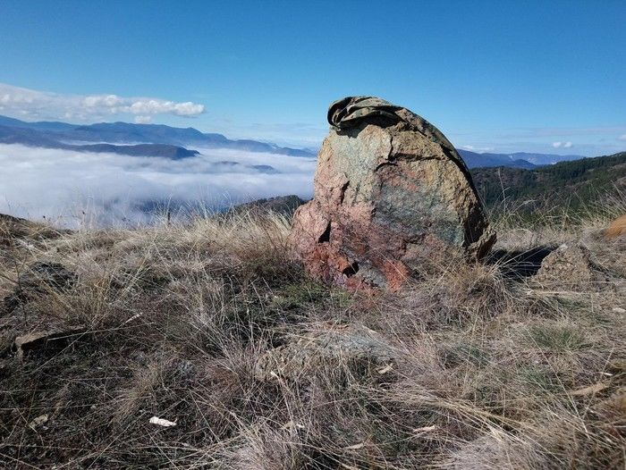
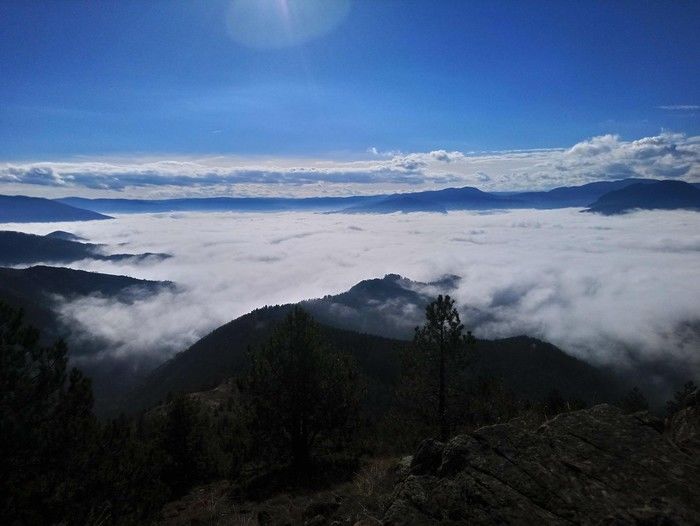
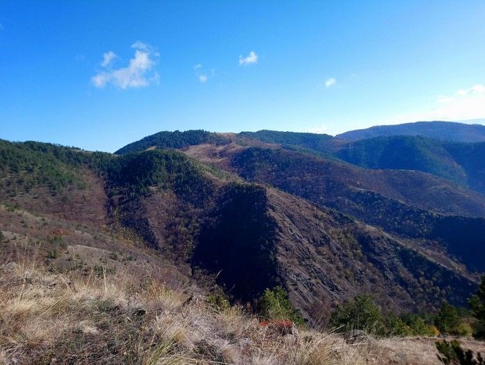
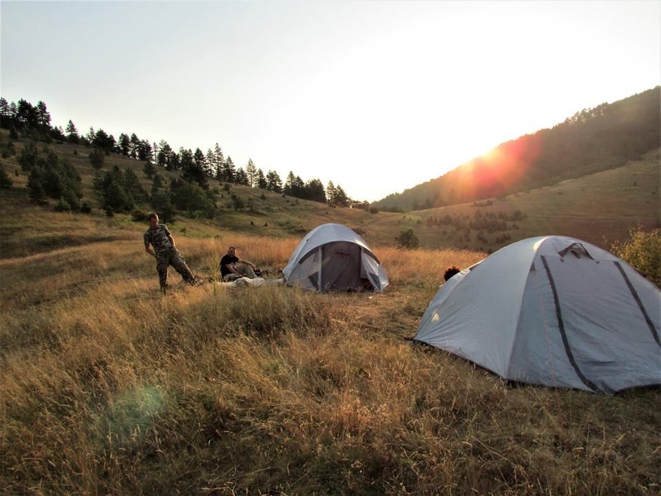
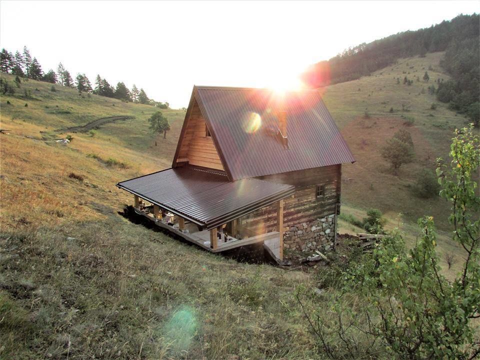
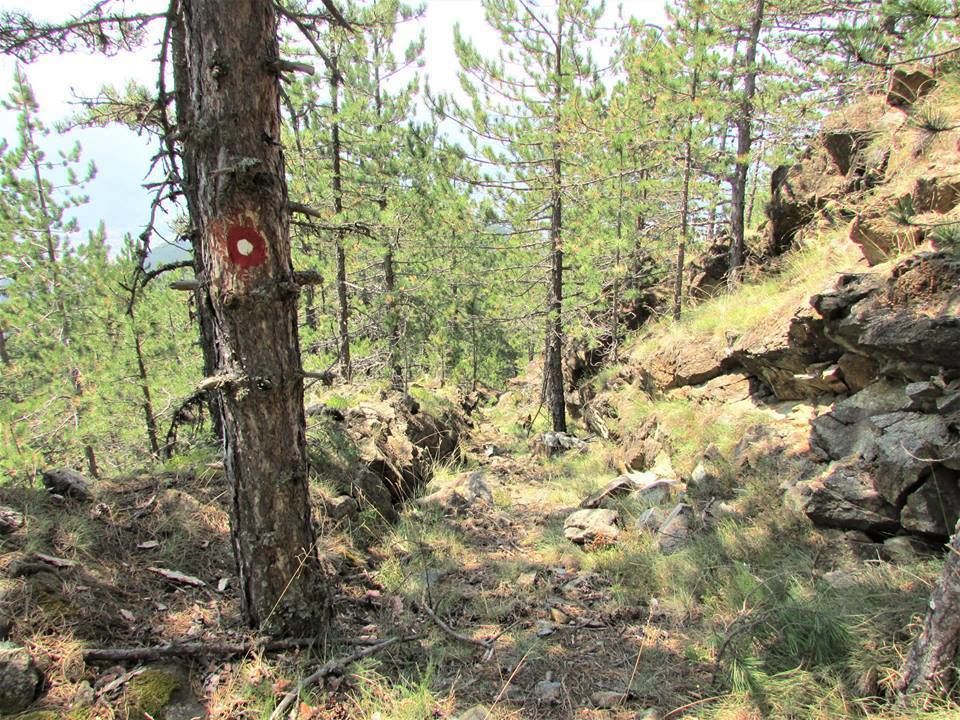
The trail is divided into four sections: the first section departs from Rudo, exactly at 400MASL. From there, the streets and macadam roads lead to Vlado's cabin, where the trail enters the forest. The second part of the trail leads to the Ostrelj viewpoint, and this part alternately passes through high pines, bare, low rocks and rocky outcrops. The Ostrelj viewpoint offers a beautiful view over Rudo and the Lim valley. This part is also the hardest part of the trail- narrow. The third part of the trail leads to the mountain - hunting lodge on Previja. There are beautiful pastures and idyllic mountain views on Previja, and on this part of the trail passes the famous Begova voda spring. This is the easiest part of the trail. The fourth section from Previja leads to Varda peak through high and low pines and fields of wild forest blueberries. At the top of Varda at 1389 MASL this trail ends. At this spot a high vantage point is planned to be built as the top itself is overgrown.
- Highest point
- 1,375 m
- Endpoint
-
Varda peak
- Height profile
-
 © outdooractive.com
 - Equipment
-
Hiking boots and other standard hiking equipment depending on the weather conditions.


-
-
AuthorThe tour BH-G Rudo - Varda (Vezirove staze) is used by outdooractive.com provided.