Via Dinarica BH-W-11 via Lelija and Zelengora Mountain to Sutjeska National Park


- Brief description
-
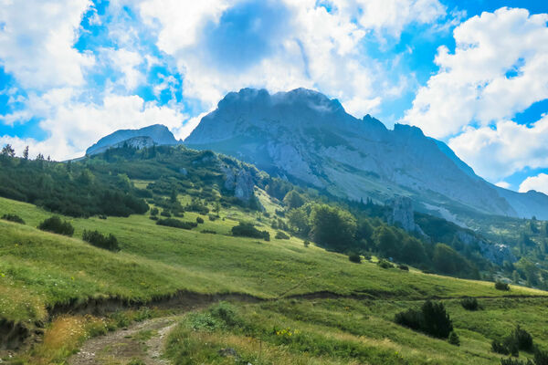
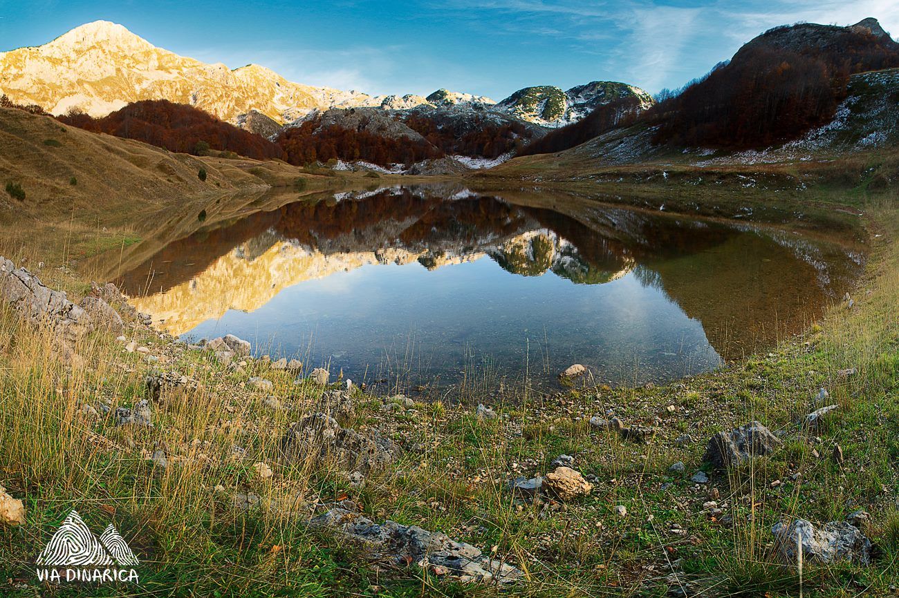
This is a great mountain hike through pristine nature over Lelija and Zelengora that includes three summits and and five lakes.
- Difficulty
-
difficult
- Rating
-
- Starting point
-
Jelasca village
- Route
-
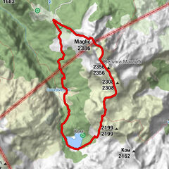
Ošlji do3.6 kmJablan vrelo (1,610 m)8.9 kmVelika Lelija (2,032 m)11.1 kmPlaninska kuća Orlovačko jezero22.1 kmBregoč (2,014 m)27.6 kmUglješin vrh (1,859 m)33.4 km
- Best season
-
JanFebMarAprMayJunJulAugSepOctNovDec
- Description
-
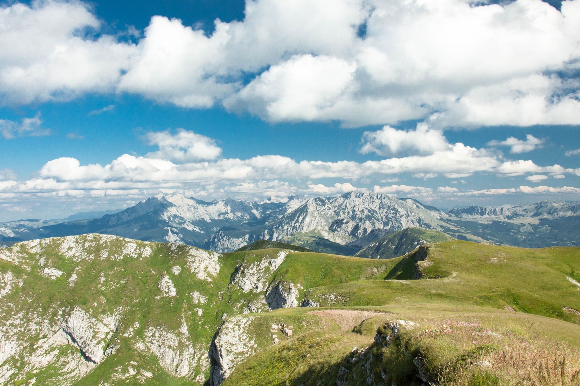
The trail follows the forest road towards Cemerno and Orlovacko lake, and in Osllji turns towards Lelija Mountain. It continues on the trail after the forest road ends, passes by Jablan spring and gets on the pass below Velika (Great) Lelija summit (2032m). The summit is just 15 minutes away, so it is worth climbing.
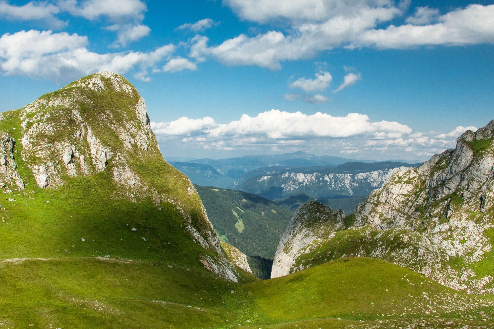
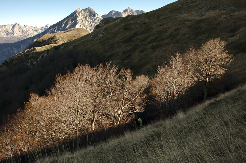
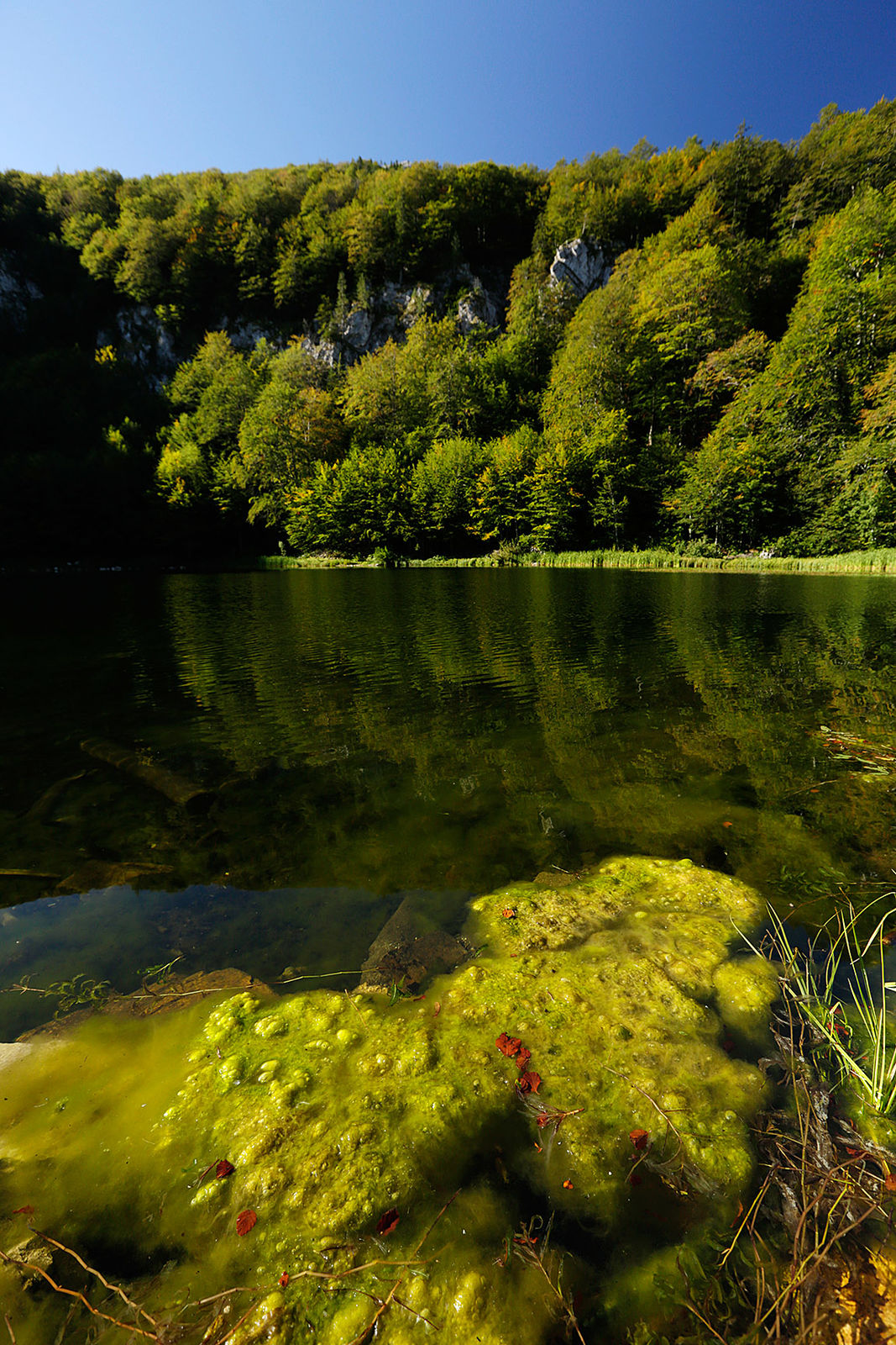
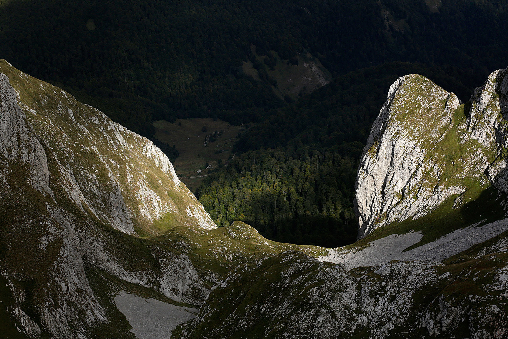
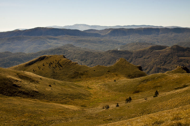
The trail continues south through really remote and wild terrain. At a nice long mountain meadow, the trail will continue south uphill over a bit more difficult of terrain. The trail descends to Stirine – a remnant of the old shepherd settlement and Stirinsko lake.
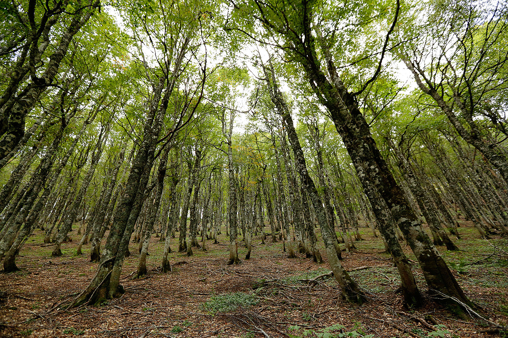
There are two trails from here, but the shortest to Orlovacko lake is the one heading east. The trail ends in beech forest, where it might be difficult to navigate due to a mess of logging roads created over the last few years. The meadows at the end of the forest surround Jugovo lake, which is just below in the valley. Further east is the road that brings you to Orlovacko lake located nearby.
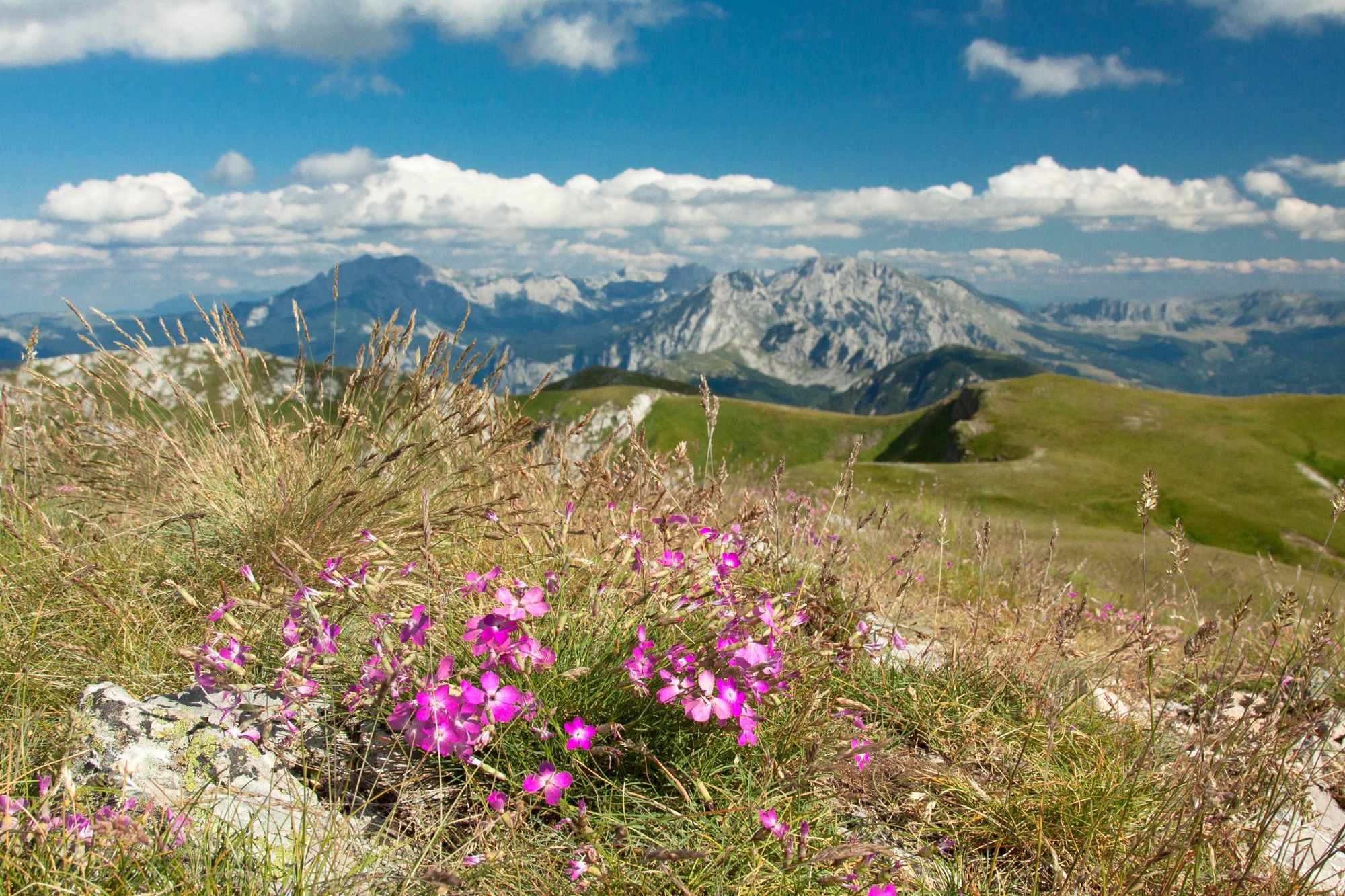
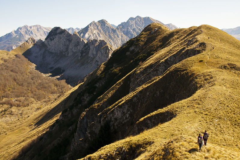
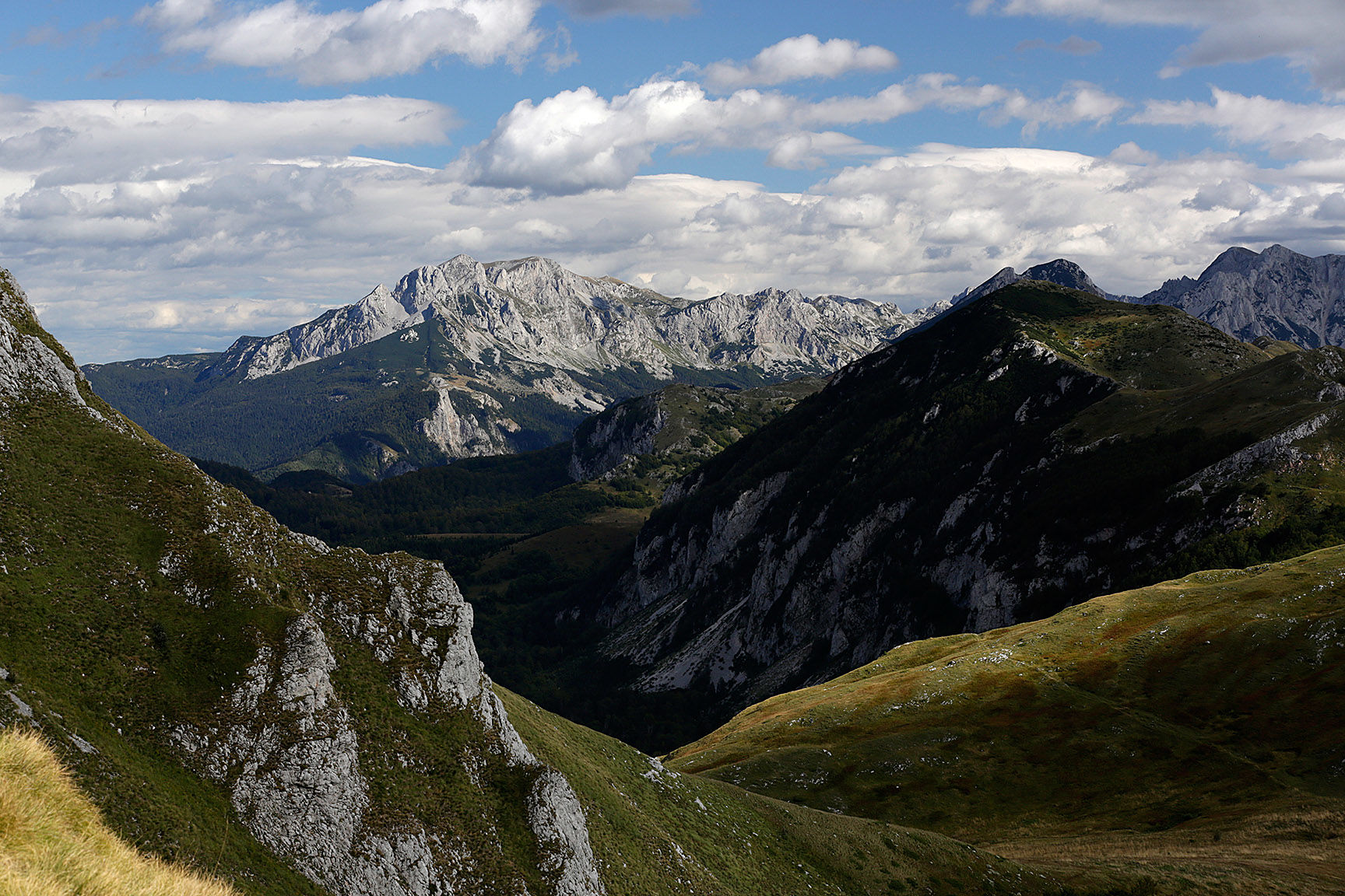
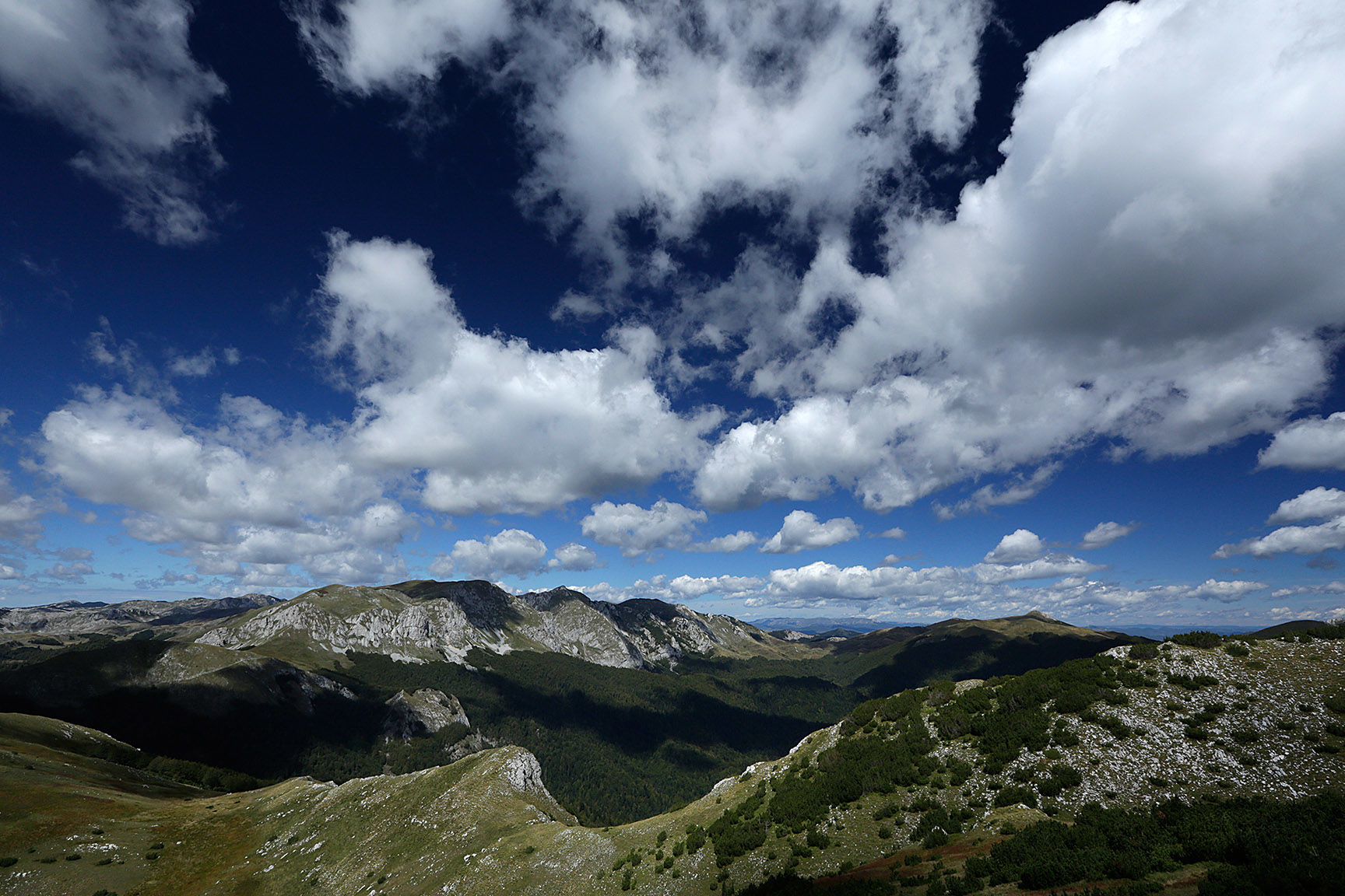
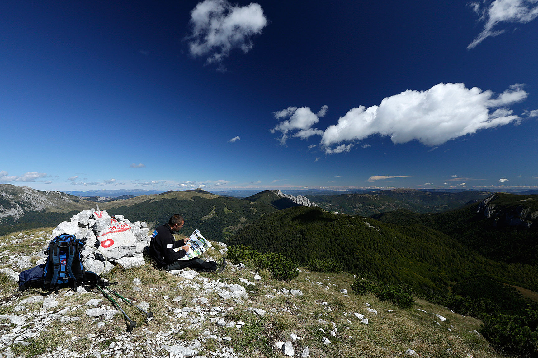
From Orlovacko, the trail climbs to the highest summit of Zelengora – Bregoc at 2014 m. After Bregoc the trail goes over open terrain to the end of the plateau and descends through a steep and exposed gully. From there, the trail leads back into the forest, then again through mountain meadows and a new ascent to Ugljesa’s peak. The views from Ugljesa’s are great as the BMW group (Bioch, Maglic and Volujak) is ahead, as well as Lebrsnik and many other mountains in the distance.
From this summit you descend to Gornje Bare Lake, from where you follow a dirt road along to Donje Bare lake. Here, there is a park mountain hut. This is where your long Zelengora journey ends.
- Directions
-
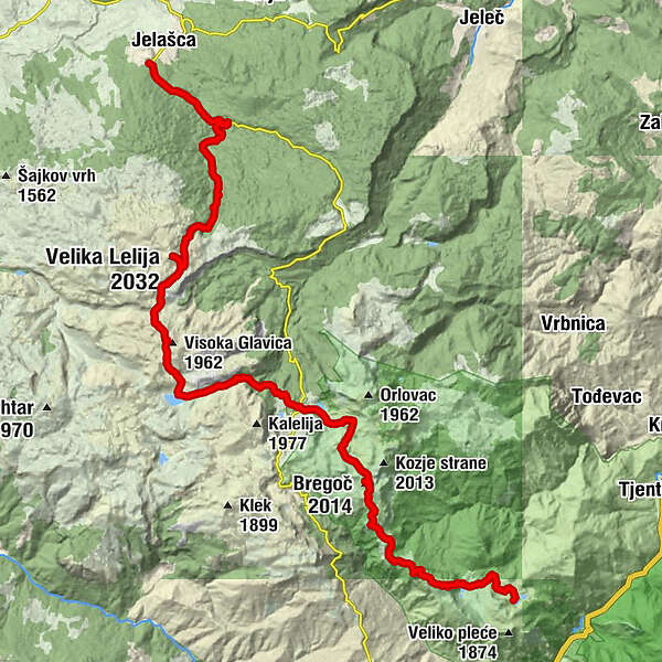
Follow the road to Oslji do, and turn right on the junction with the big info board “Dr. Jovo Elcic Mountain Trail”. Once in the open area, continue straight (left) to the end of the road. It is more pleasant to walk along the meadow in parallel with the road, and join the road at the end.
After the road, follow the trail up to Lelija. Refill at Jablan vrelo, but there is also another water source beneath Lelija summit. There is a junction on shoulder of Lelija, where your trail continues straight south (summit is right, and left down is Poda locality).
The next crossing is close by Jovic vrelo (spring), where you turn left towards the hill side.
Before the lake you should turn left again (east).
Next lake is Jugovo lake. The lake is elongated in direction north-south, and the road is east from the lake (left from direction that you are coming from). Turn left again on the road and follow it to Orlovacko lake. There will be one more junction, and turn right there.
From Orlovacko continue to the south east. There will be a few paths going left or right, but remain on the one going straight up. When you reach the path (T junction) go left, and the next right will be towards the summit of Bregoc.
From Bregoc the trail goes toward the south and south west, and on the path in scree slopes it goes east (right).
It will be pretty clear through the forest, but after the forest you may not see markings in the oen area. Just head straight towards the elevation on the south east from where you’ll see markings again. The trail climbs up to Ugljesin Vrh and descends over it.
North above the lake you will notice the track, so follow it till the end of the road. Them, follow the road to a crossing and turn right here. Donje Bare is little bit more than a kilometer away.
- Highest point
- 2,007 m
- Endpoint
-
Donje Bare, mountain hut
- Height profile
-
 © outdooractive.com
 - Equipment
-
Standard hiking equipment.
If you book your place and food in the mountain huts, it is possible to hike this tour just with the daily pack and enough water.
- Safety instructions
-
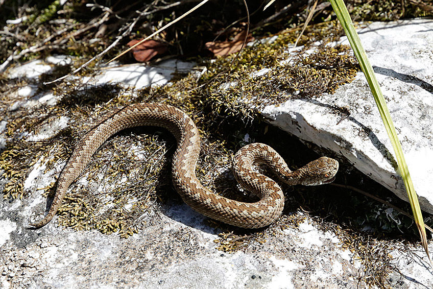
Consider that this tour goes trough remote wilderness. Mind your step on difficult terrain and watch for snakes when reaching with your hands or sitting on the grass in the shade.
The mountain rescue service is reached by calling 112.
- Tips
-
Contact National Park Sutjeska and reserve huts in advance.
- Additional information
- Directions
-
Driving
From Kalinovik (or before Kalinovik) drive towards Miljevina and turn soon right to Jelasca.
Hiking
From Kalinovik follow trail from the fromer military barack.
- Public transportation
- Parking
-
Check with the owner of the farm at the trailhead.


-
-
AuthorThe tour Via Dinarica BH-W-11 via Lelija and Zelengora Mountain to Sutjeska National Park is used by outdooractive.com provided.