
- Brief description
-
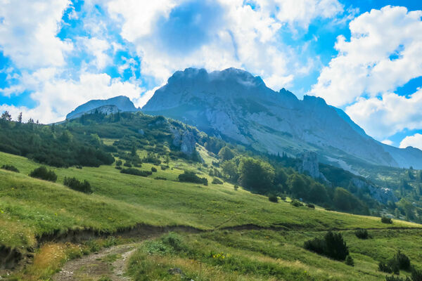
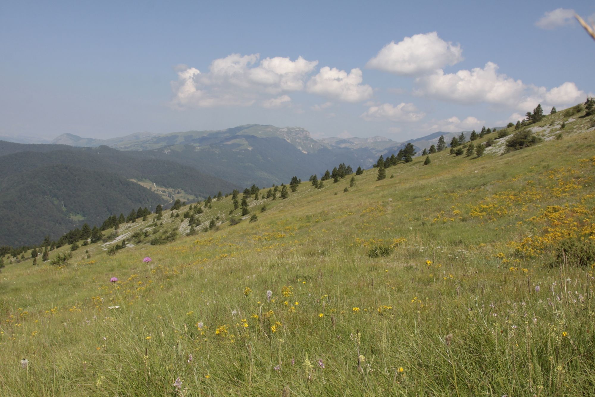
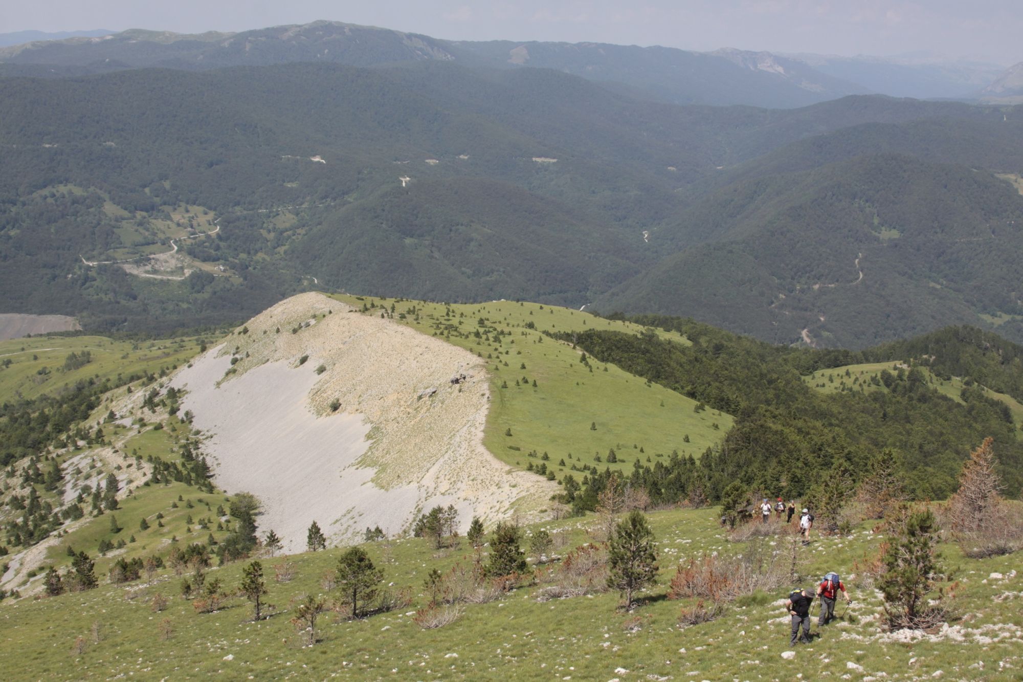
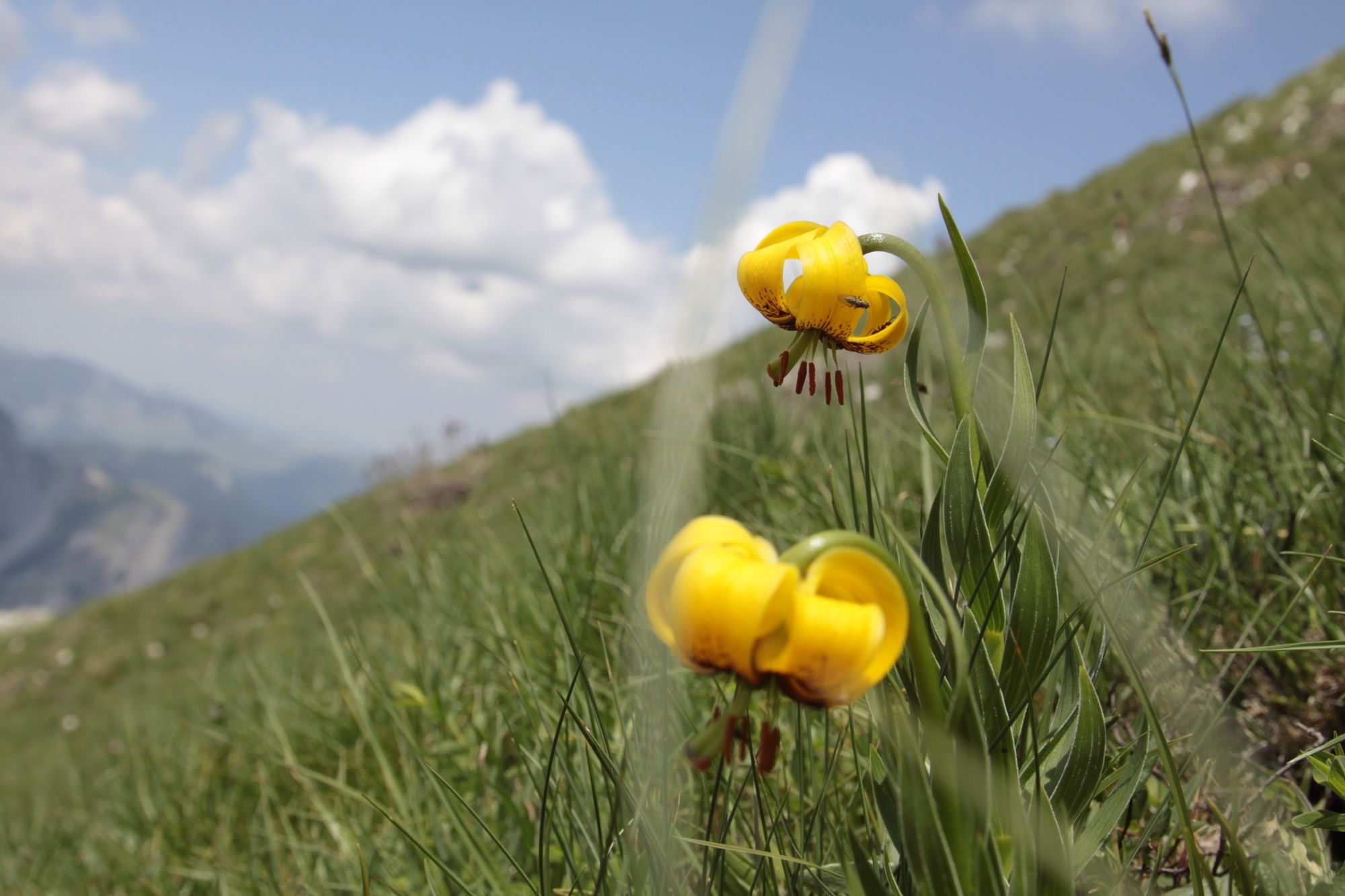
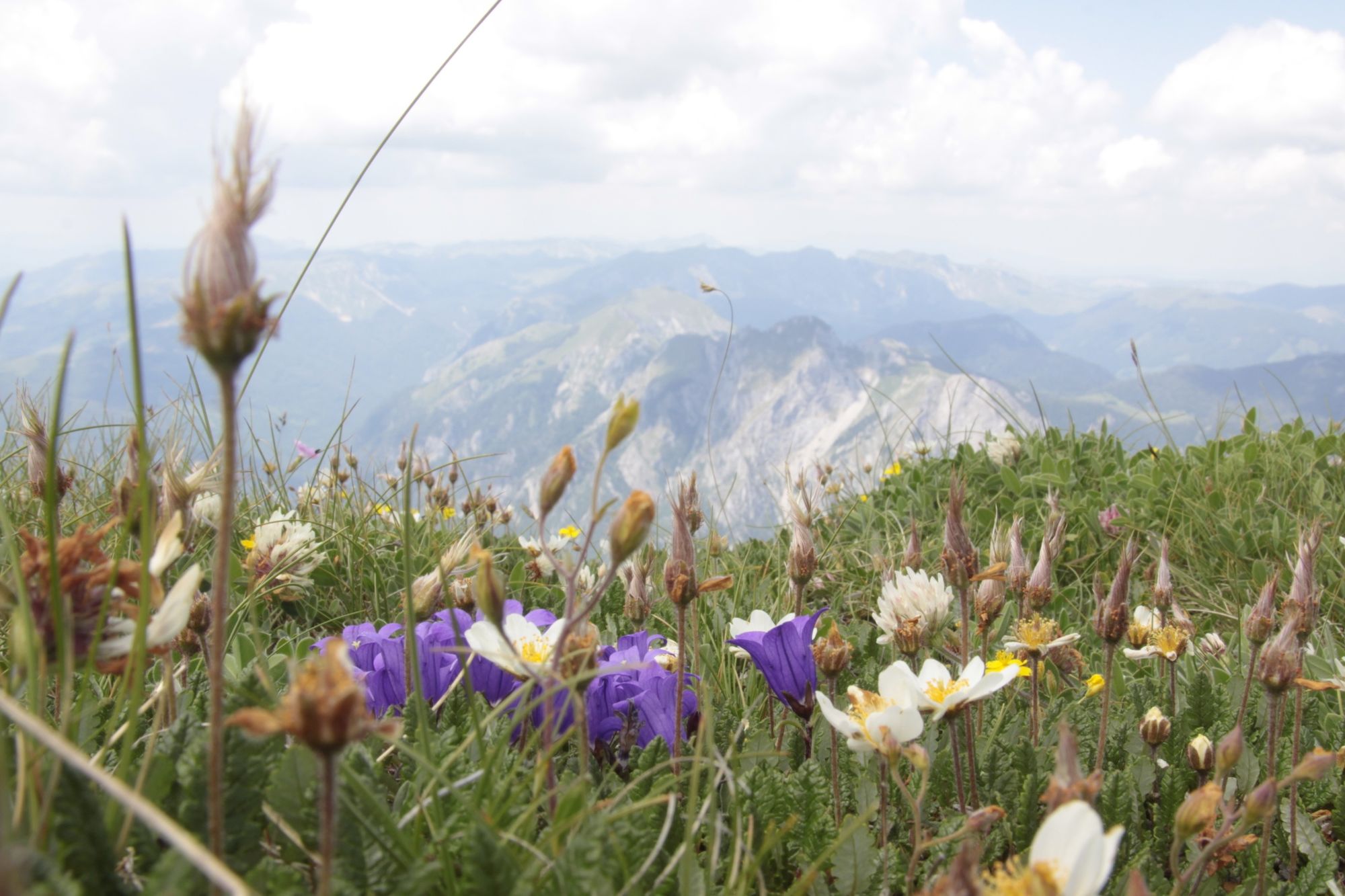
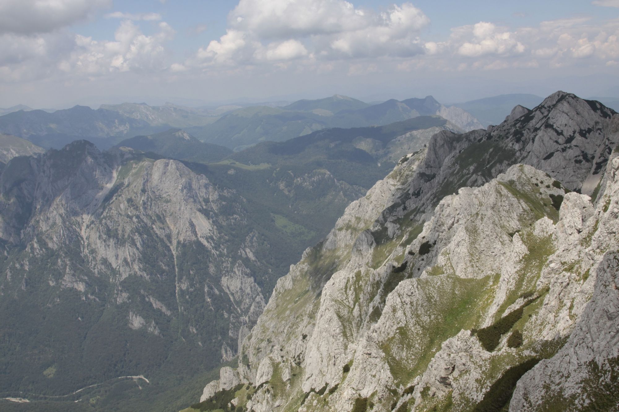
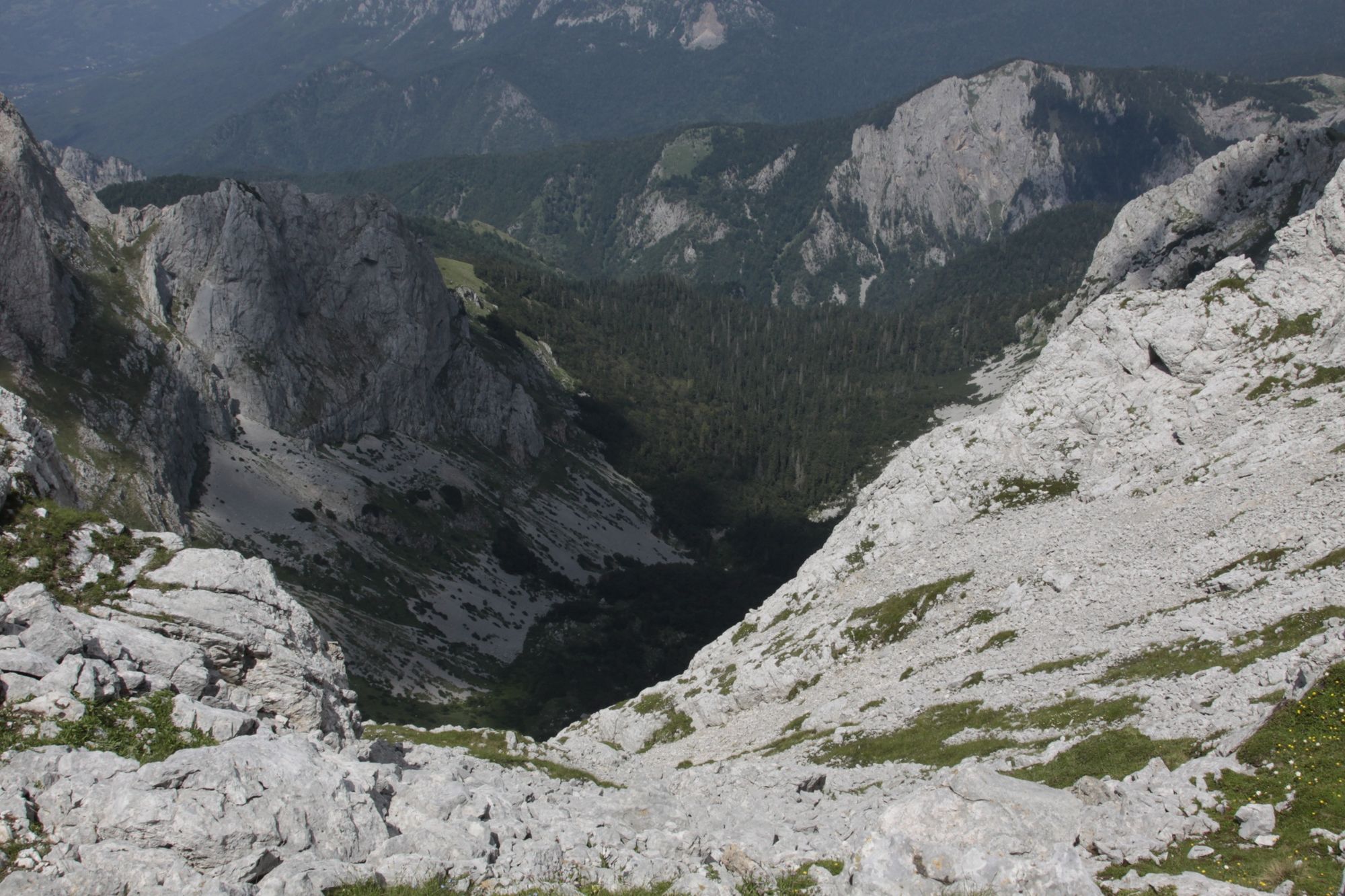
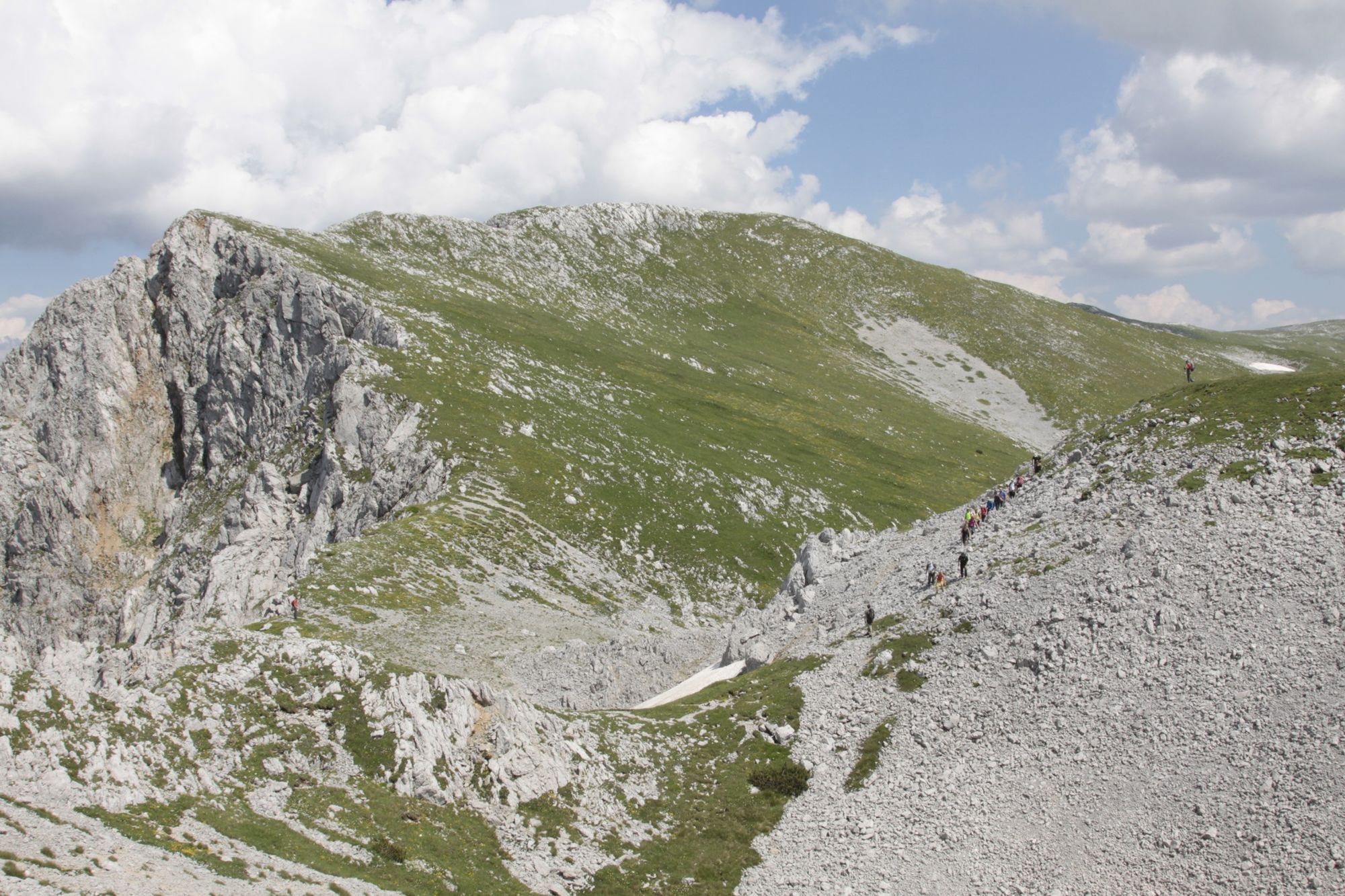
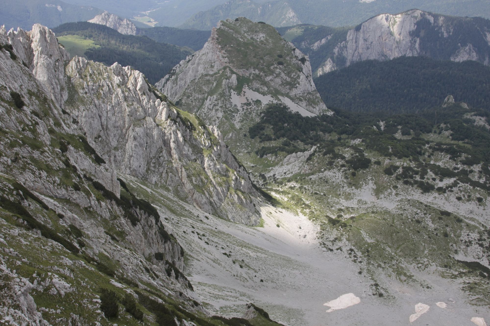
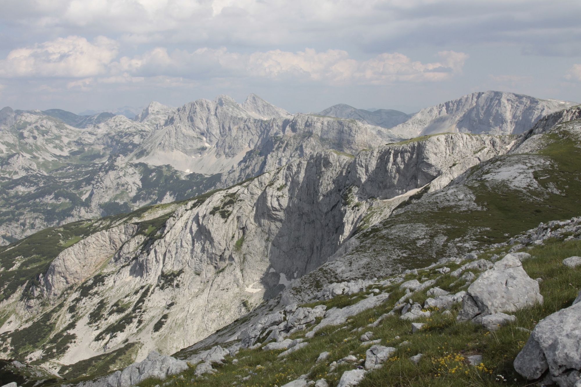
This is a beautiful one day hike via several peaks on Volujak Mountain - stunning scenery and magnificent views over Dinaric Alps in BiH and Montenegro.
- Difficulty
-
medium
- Rating
-
- Starting point
-
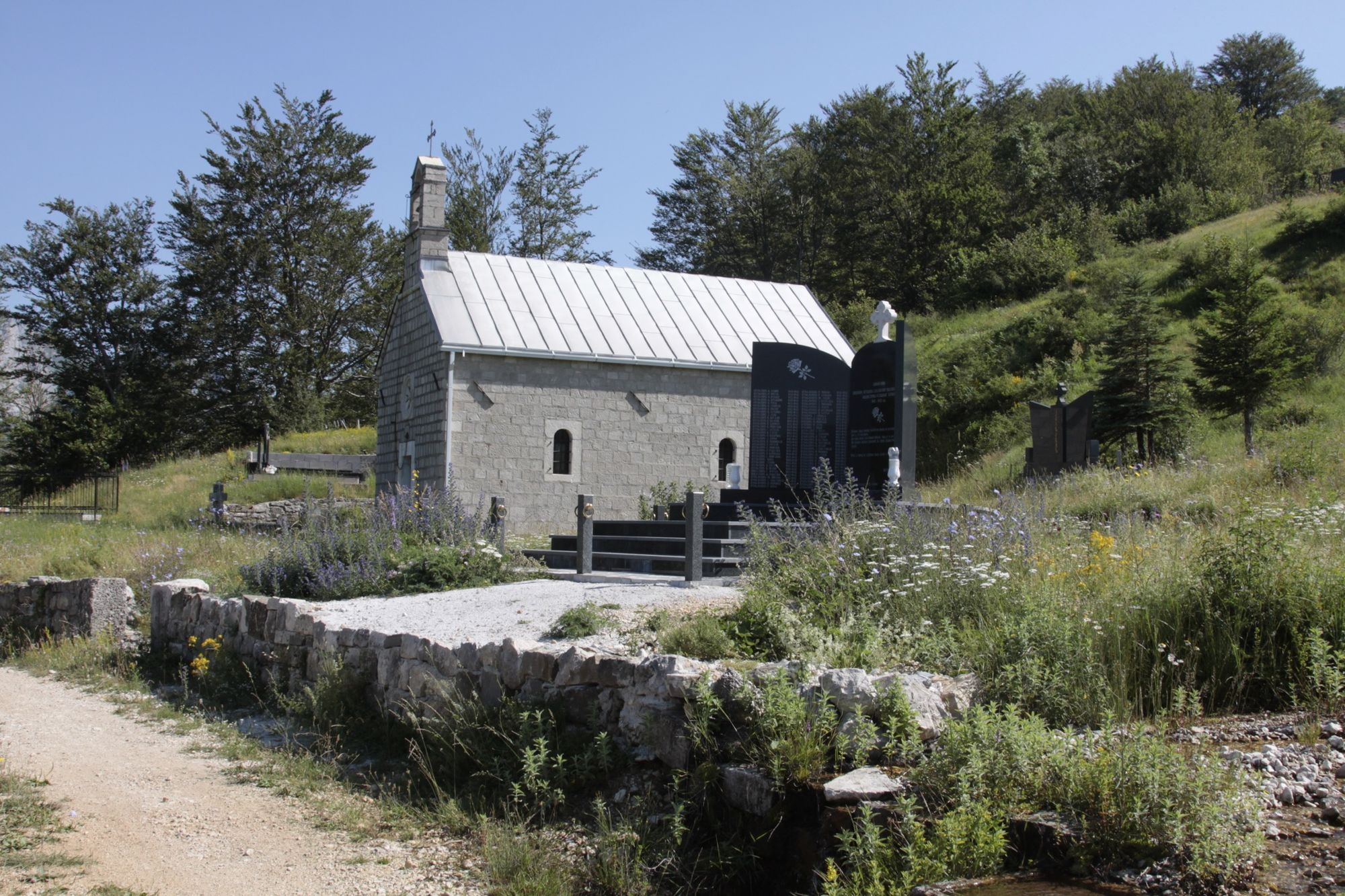
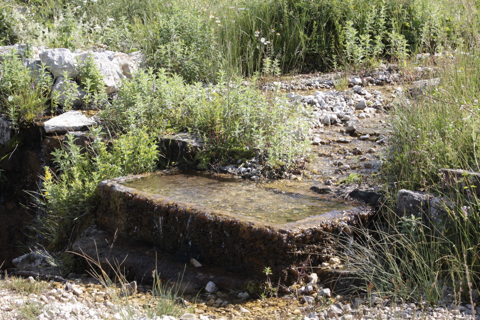
Small church at Borovno
- Route
-
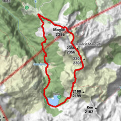
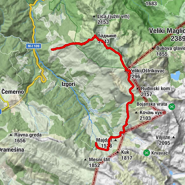
Бадњине (2,243 m)3.3 kmVeliki Oštrikovac (2,296 m)6.5 kmСтуденац7.2 kmGoveđak11.0 kmŠkiljevica poljana13.5 kmPapin do14.4 kmПапин до14.5 km
- Best season
-
JanFebMarAprMayJunJulAugSepOctNovDec
- Description
-
This is one day beautiful hike via Badnjine, Studenac and Veliki Oštrikovac peaks.
- Directions
-
From Tjentište, take a road to Čemerno. After 10min drive you will come to old abandoned Motel at Sastavci. Turn left, cross the bridge and folow the gravel road all the way to Borovno, from where the hike starts.
- Highest point
- 2,286 m
- Endpoint
-
Mt Lodge "Volujak" at Papin do
- Height profile
-
 © outdooractive.com
 - Equipment
-
Dress in layers and bring hiking equipment depending on the weather.
- Safety instructions
-
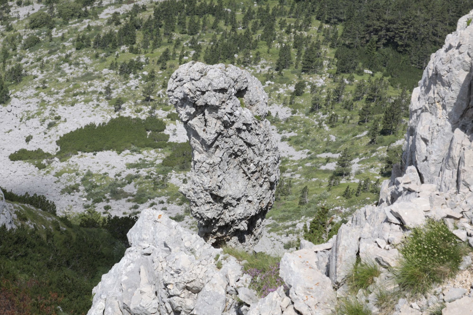
First climbing part is rocky, so be aware of the hikers coming after you.
- Tips
-
This tour offers stunning and rewarding views .
- Additional information
-
First part of the trail all the way up to the peak of Badnjine is not marked, so if not comfortable with take, we advise you to take a mountain guide with you. Contact local Mountain Club "Volujak" from Gacko or Sutjeska National PArk Staff for more information.
- Arrival
-
If coming from Sarajevo, take a bus to Foča, where you can take a cab to TJentište. If coming from Montenegro direction, take a bus to Foča, via Gacko and Čemerno.
- Public transportation
-
TThe easiest way is to take a bus to Foča or Tjentište, from where you can eventually arrange a cab drive to Borovno.
- Parking
-
This is not the round tour, so if you leave your car in Borovno, you will need a transport after descend at Papin do.
-
-
AuthorThe tour Beautiful hike via several peaks on Volujak Mountain is used by outdooractive.com provided.