© M.KLEINSASSER

© M.KLEINSASSER

© M.KLEINSASSER

© M.KLEINSASSER

© M.KLEINSASSER
Tour data
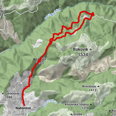
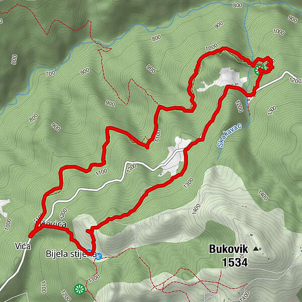
8.11km
1,017
- 1,315m
308hm
308hm
02:19h
- Brief description
-
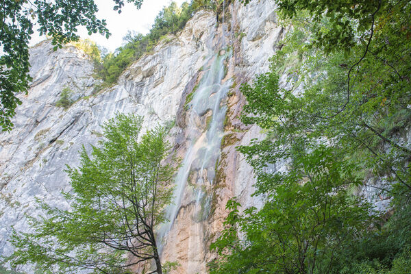
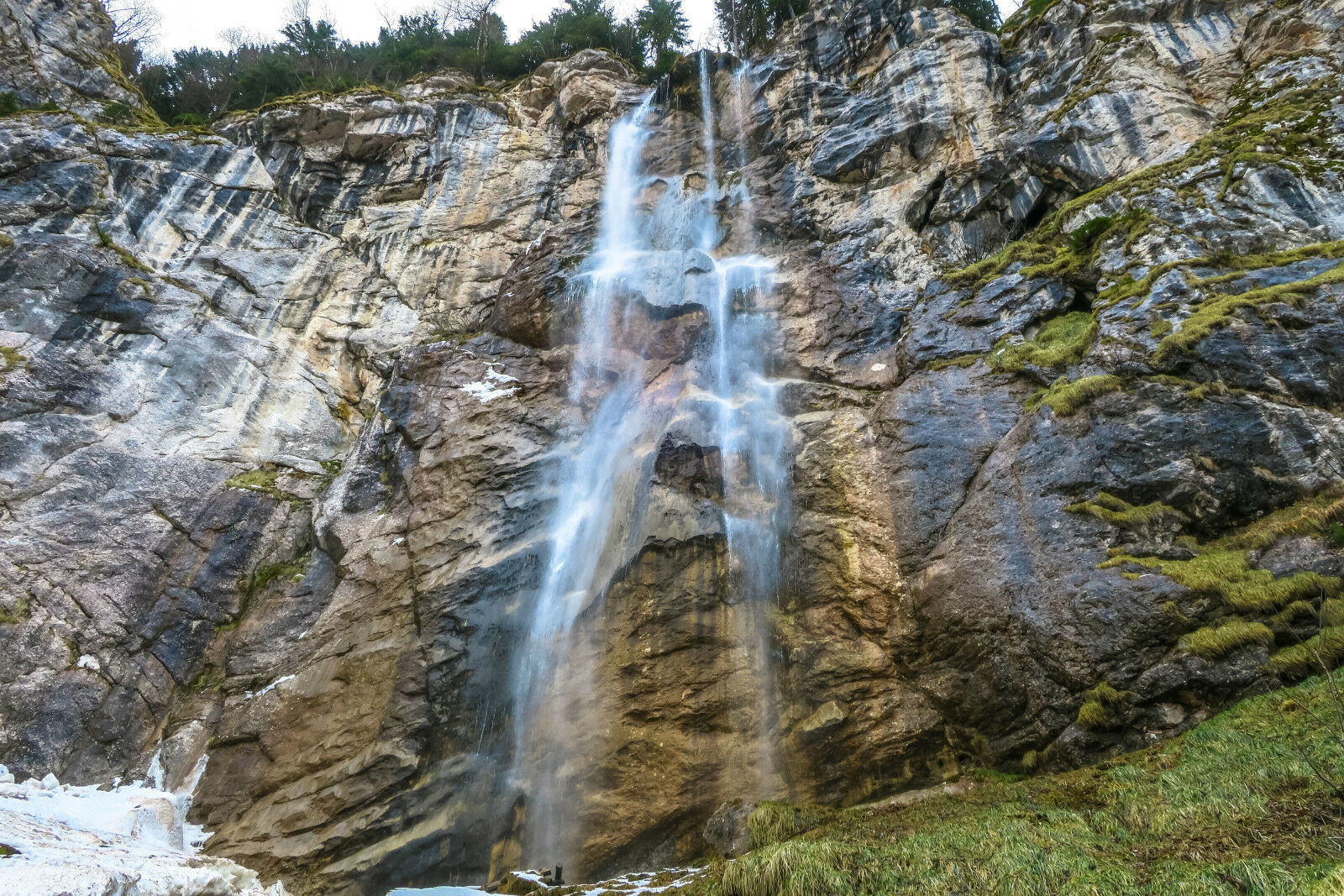
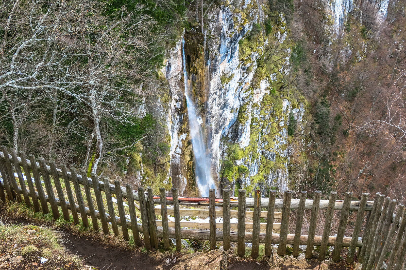
Skakavac Wasserfall Rundgang
- Difficulty
-
easy
- Rating
-
- Starting point
-
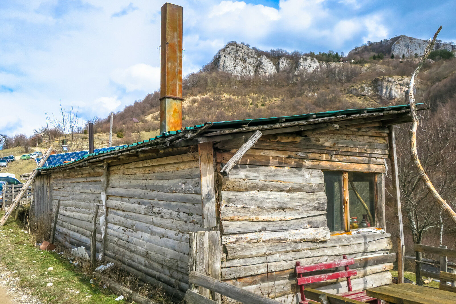
Hütte
- Route
-
VićaSkakavac3.8 kmVića8.0 km
- Best season
-
JanFebMarAprMayJunJulAugSepOctNovDec
- Highest point
- höchster Punkt (1,315 m)
- Endpoint
-
Rundweg


- Source
- Mike
GPS Downloads


Trail conditions
Asphalt
Gravel
Meadow
Forest
Rock
Exposed
Other tours in the regions
-
Bosnien
44