
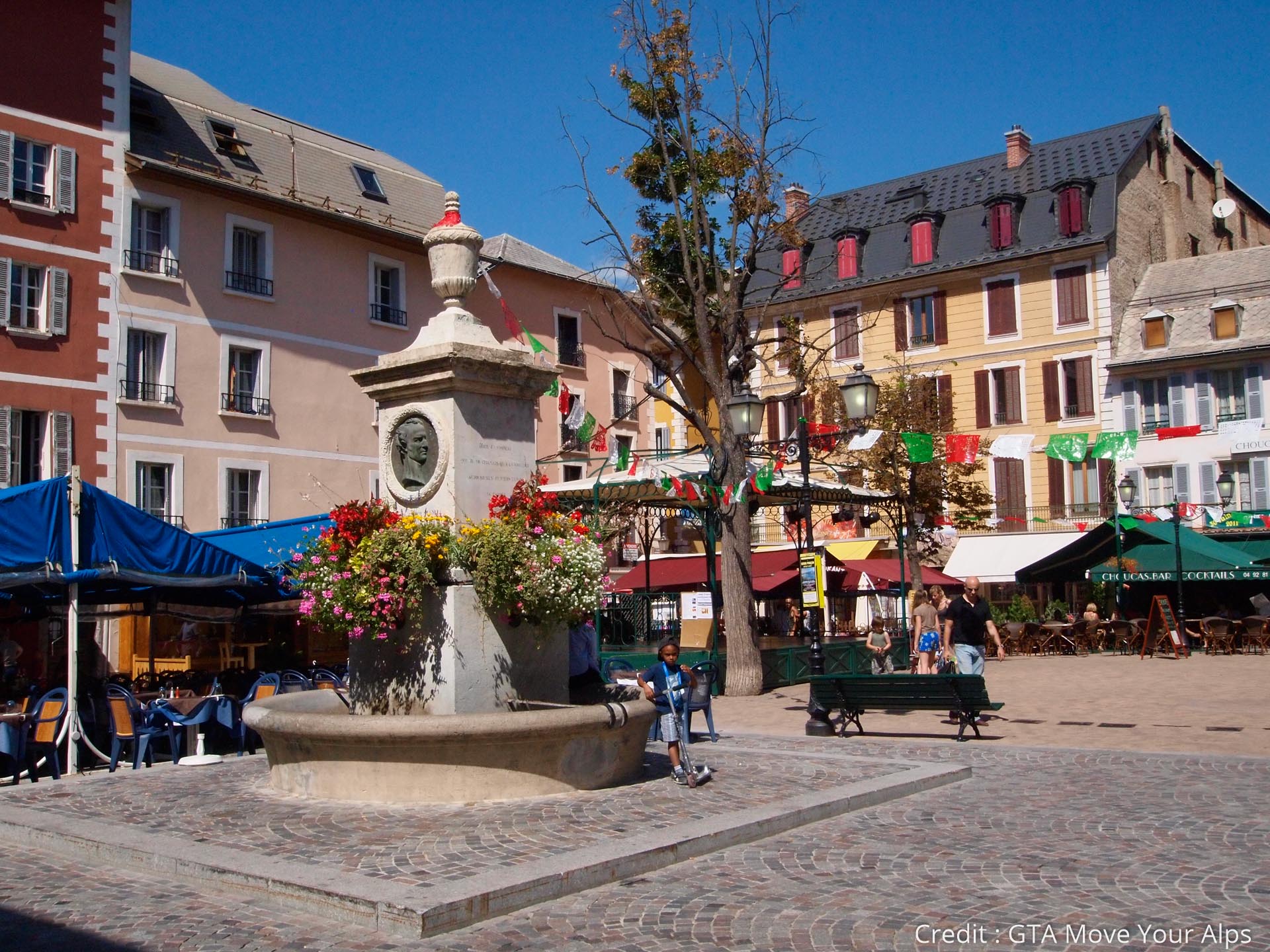
- Brief description
-
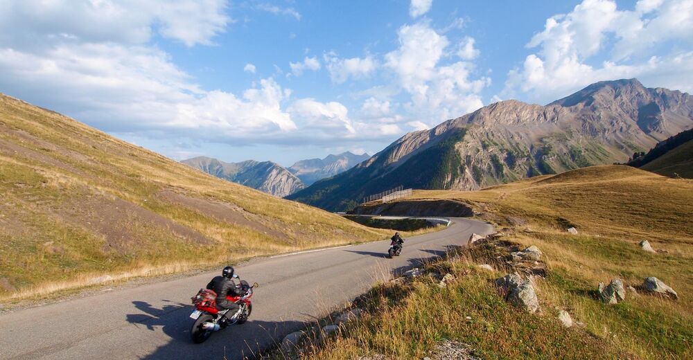
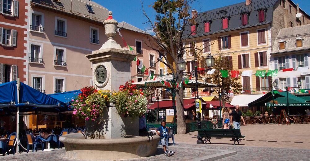
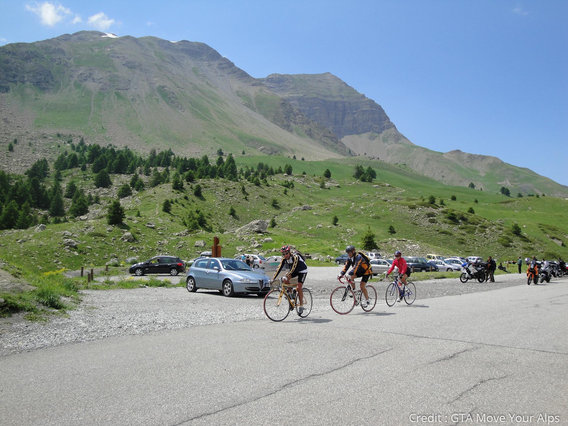
This 10th stage will take you from Queyras to Ubaye by tCol de Vars and its 1111 meters of ascent. A nice journey in the heart of the preserved landscapes of the southern part of the French Alps and an arrival in Barcelonnette, with its unexpected Mexican villas!
- Difficulty
-
medium
- Rating
-
- Route
-
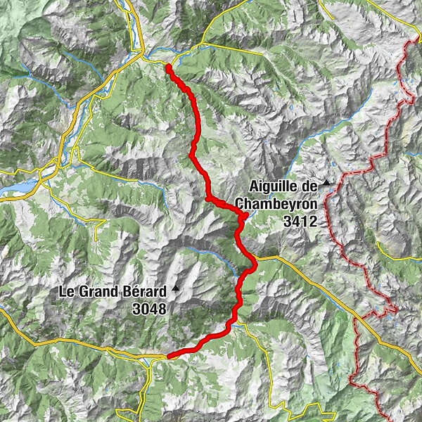
La Magdelaine6.6 kmÉglise Saint-Marcellin9.5 kmSaint-Marcellin9.5 kmSainte-Marie11.3 kmVars11.3 kmLes-Claux14.0 kmRefuge Napoléon16.5 kmL'Igloo18.8 kmChapelle Sainte-Marie-Madeleine19.0 kmÉglise Saint-Sébastien23.6 kmLes Prats (1,675 m)25.7 kmLes Gîtes26.2 kmSaint-Paul-sur-Ubaye26.9 kmLes Gleizolles32.9 kmLa Condamine-Châtelard35.8 kmLa Rimaye35.8 kmÉglise Saint-Nicolas-de-Myre40.7 kmJausiers40.8 kmLes Davis-Haut42.7 kmDomaine de Bérard45.4 kmFaucon-de-Barcelonnette46.7 kmBarcelonnette49.0 km
- Best season
-
JanFebMarAprMayJunJulAugSepOctNovDec
- Description
-
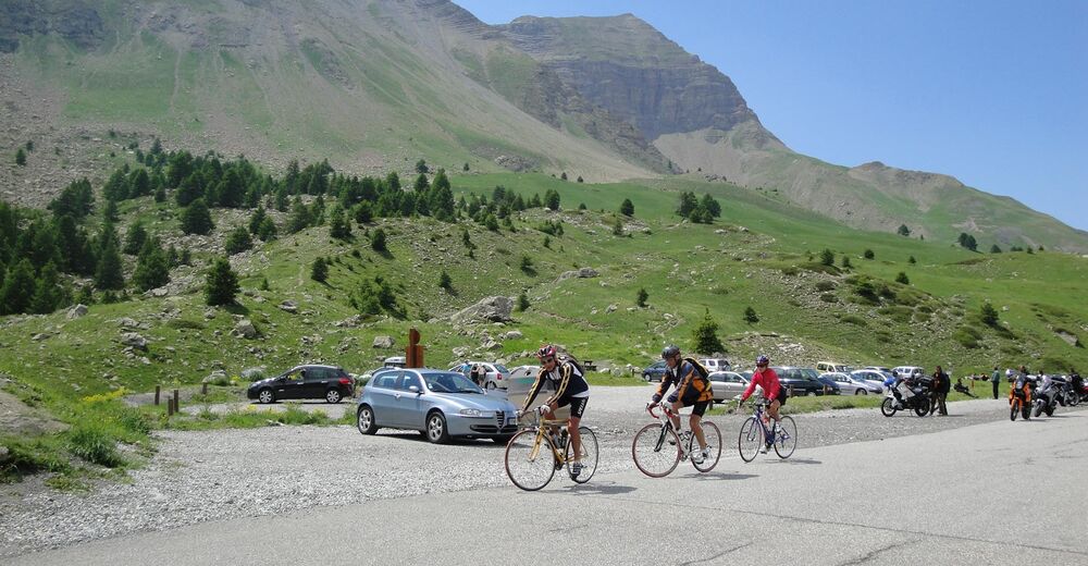
The first part of this stage offers splendid viewpoints on the massif of the Ecrins. Then you leave behind the Queyras to enter the Ubaye, a massif less crowded than the previous but equally fabulous. Col de Vars (2108 m), where you will find another Napoleon refuge, marks the top of this stage. Beautiful panoramas will then accompany you to Jausiers and its remarkable Mexican villas. Here, you will have the choice to continue on the variant towards Col de la Bonnette or to continue until Barcelonnette, a small town full of charm with the singular history and the architecture of "colonial style" creating a unique atmosphere in the heart of the Alps.
- Directions
-
The route takes the departmental road D902 between Guillestre and the bottom of the Vars pass then the D900 to Barcelonette, it is very well indicated by large signs "Route des Grandes Alpes".
- Highest point
- 2,114 m
- Endpoint
-
Barcelonette
- Height profile
-
 © outdooractive.com
 - Tips
-
The refuges Napoléon testify to a consequent gift that the emperor made to Hautes-Alpes to build, in 1856, shelters on the main passes of the department.
- Additional information
-
On E-Bike, drive thrifty! The battery level must be 40% charged at the Vars station. A safety charging is possible at the pass, at the Napoleon refuge. If you choose to leave on the Bonnette, a full battery is mandatory to reach Jausiers.

- Author
-
TILT COM’SEILThe tour Route des Grandes Alpes - From Guillestre to Barcelonnette (10) is used by outdooractive.com provided.