- Brief description
-
It's a long climb of 15.7 km with 1170 m of D+ at... 7.5%! A figure that means you'll have to make a big effort. In fact, the gradient doesn't drop below 7%, rising to 8.5% for the final stretch (1.3 km)!
- Difficulty
-
difficult
- Rating
-
- Starting point
-
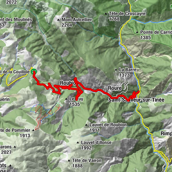
At the Saint-Sauveur-sur-Tinée exit, on the RM 30, after crossing the Tinée bridge
- Route
-
San Salvatore0.5 kmRorà2.8 kmWaterfall7.0 kmRobione10.0 kmChapelle Saint-Sébastien10.4 kmVillars12.9 kmLes Vautes13.1 kmAuberge Quintessence15.8 km
- Best season
-
JanFebMarAprMayJunJulAugSepOctNovDec
- Description
-
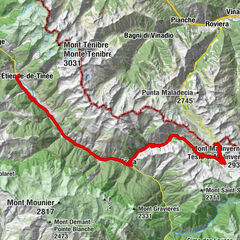
The Col de la Couillole is part of the legendary history of the Tour de France. It was climbed during the Tour's legendary stage between Nice and Pra Loup in 1975. After climbing the Col de la Couillole, then the Col des Champs and the Col d'Allos, Bernanrd Thévenet fell to Eddy Merck in the Pra Loup final.
The pass was also the scene of the finish of stage 7 of Paris-Nice 2017, a stage won by Richie Porte.
- Directions
-
After crossing the Pont de la Tinée, follow the RM 30 as it rises steadily to the summit.
The ascent passes under the village of Roure and a little further on near Roubion.
- Highest point
- 1,675 m
- Endpoint
-
On the signpost at the top of the pass, next to the commemorative stele
- Height profile
-
 © outdooractive.com
 - Equipment
-
-Wear an approved helmet
-Check the condition of your tyres
-Take a repair kit with you in case of a puncture
-Take at least one flashing LED light to attach to the seatpost so that you can be seen by motorists, particularly in the small tunnels on the climb;
- Remember to take a jacket or mackintosh for the descent of the pass.
- Safety instructions
-
BASIC RULES
Choose a pass that suits your physical condition and do not overestimate your abilities.
Before setting off, find out about the mountain weather and when the passes open.
Carry identification and a telephone number to call in case of danger.
Respect the environment
Control your speed on the descent
- Tips
-
All the outdoor activities in the Nice Côte d'Azur region can be found at https://outdoor.nicecotedazur.org
- Additional information
- Directions
-
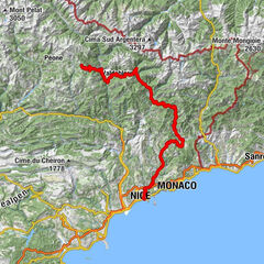
Nice and its metropolitan area are served by the A8 "La Provençale" motorway, coming from Aix-en-Provence to the west and the border to the east.
To get to Saint-Sauveur sur Tinée :
-
Exit 52: Saint-Isidore
Then the RM 60202 towards Digne
At the Mescla bridge, in the gorge of the same name, take the Route de la Tinée RM 2205 towards Saint-Sauveur sur Tinée
On leaving the village, take the RM 30 towards Roure - Col de la Couillole
-
- Public transportation
- Parking
-
A few spaces are available near the panoramic departure point for the Metropole's cycle loops on the edge of the RM 2205. However, prefer the car park below the RM 2205, on the banks of the Tinée, in the direction of the gendarmerie.

-

-
AuthorThe tour Climbing the Col de la Couillole is used by outdooractive.com provided.


General info
-
Alpes-Maritimes
71
-
Alpes d'Azur
33