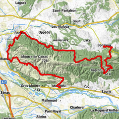
Long Distance Mountain Bike Trail, Stage 6 - From Fontaine-de-Vaucluse to Mérindol

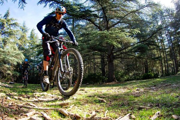
Mountainbike

© D. Bottani - CD84

- Brief description
-
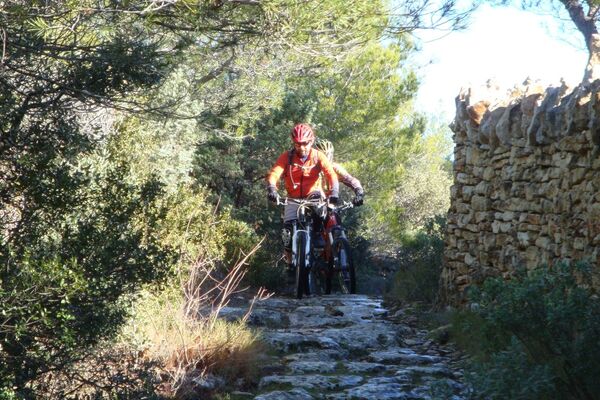
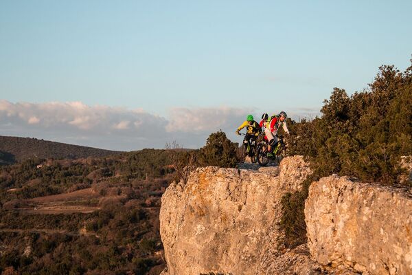
This small stretch, leading to the Petit Luberon massif, is not without interest, offering a varied and bucolic route.
- Difficulty
-
difficult
- Rating
-
- Route
-
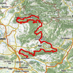
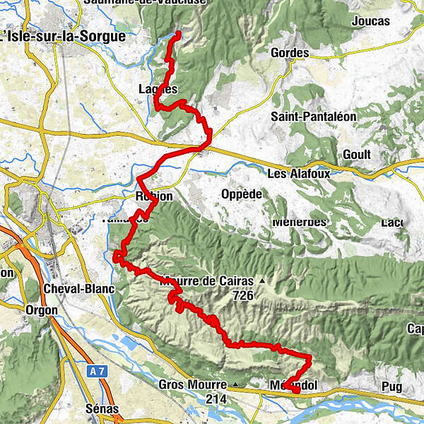
Fontaine-de-VaucluseBondelon1.5 kmLagnes3.9 kmChapelle Sainte-Antoine4.0 kmAuberge de Lagnes4.3 kmChapelle Saint-Eusèbe8.3 kmCoustellet10.4 kmRobion15.6 kmTaillades18.5 kmMérindol44.2 kmÉglise Sainte-Anne44.2 km
- Best season
-
JanFebMarAprMayJunJulAugSepOctNovDec
- Description
-
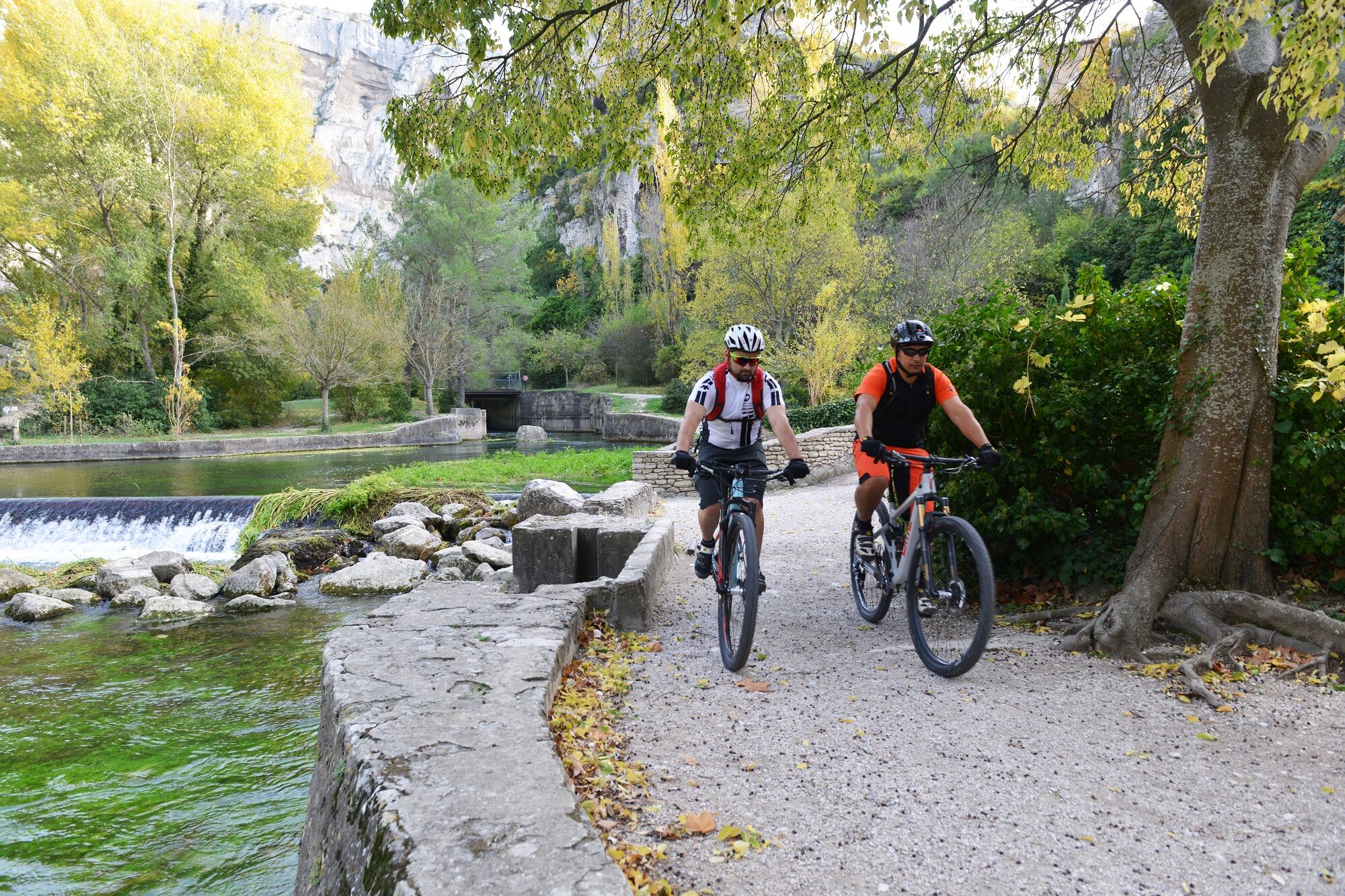
This stage, one of the least physical but by no means the least beautiful, reaches the Petit Luberon massif from the western end of the Monts-de-Vaucluse, following a varied and pleasant route. After crossing the Sorgue with its mills, you climb up to hilly limestone areas, passing along the ‘Mur de la peste’. You then cross the plain towards Coustellet and take the Euro-Véloroute n°8. Via fun single-track trails, you join the banks of the Canal de Carpentras to tackle the southern slopes of the Petit Luberon before reaching Mérindol.
- Highest point
- 551 m
- Endpoint
-
Mérindol
- Height profile
-
 © outdooractive.com
 - Additional information
-
APIDAE tourism data updated on 01/12/2020 by "Office de Tourisme Pays des Sorgues et Monts de Vaucluse".
Spotted an error? Write to the owner with the following information:
File name: Grande traversée du Vaucluse en VTT - Etape 6 - De Fontaine-de-Vaucluse à Mérindol | Record identifier: 4693690 | URL (link) for this Outdooractive page.
- Author
-
The tour Long Distance Mountain Bike Trail, Stage 6 - From Fontaine-de-Vaucluse to Mérindol is used by outdooractive.com provided.
GPS Downloads


Other tours in the regions