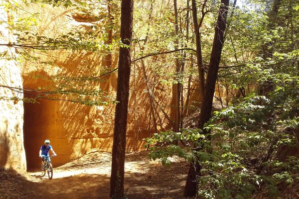
© Dominique Bottani

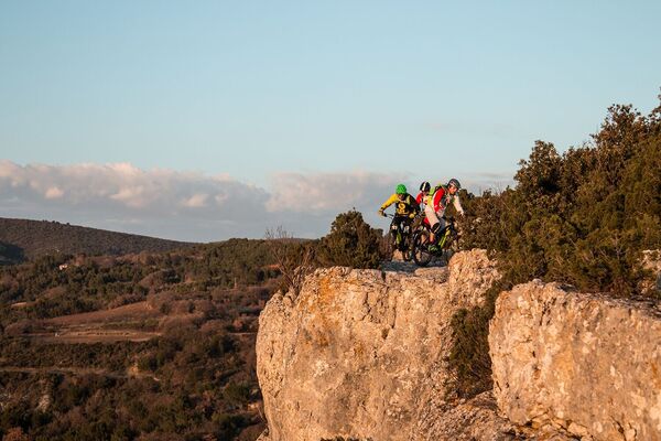
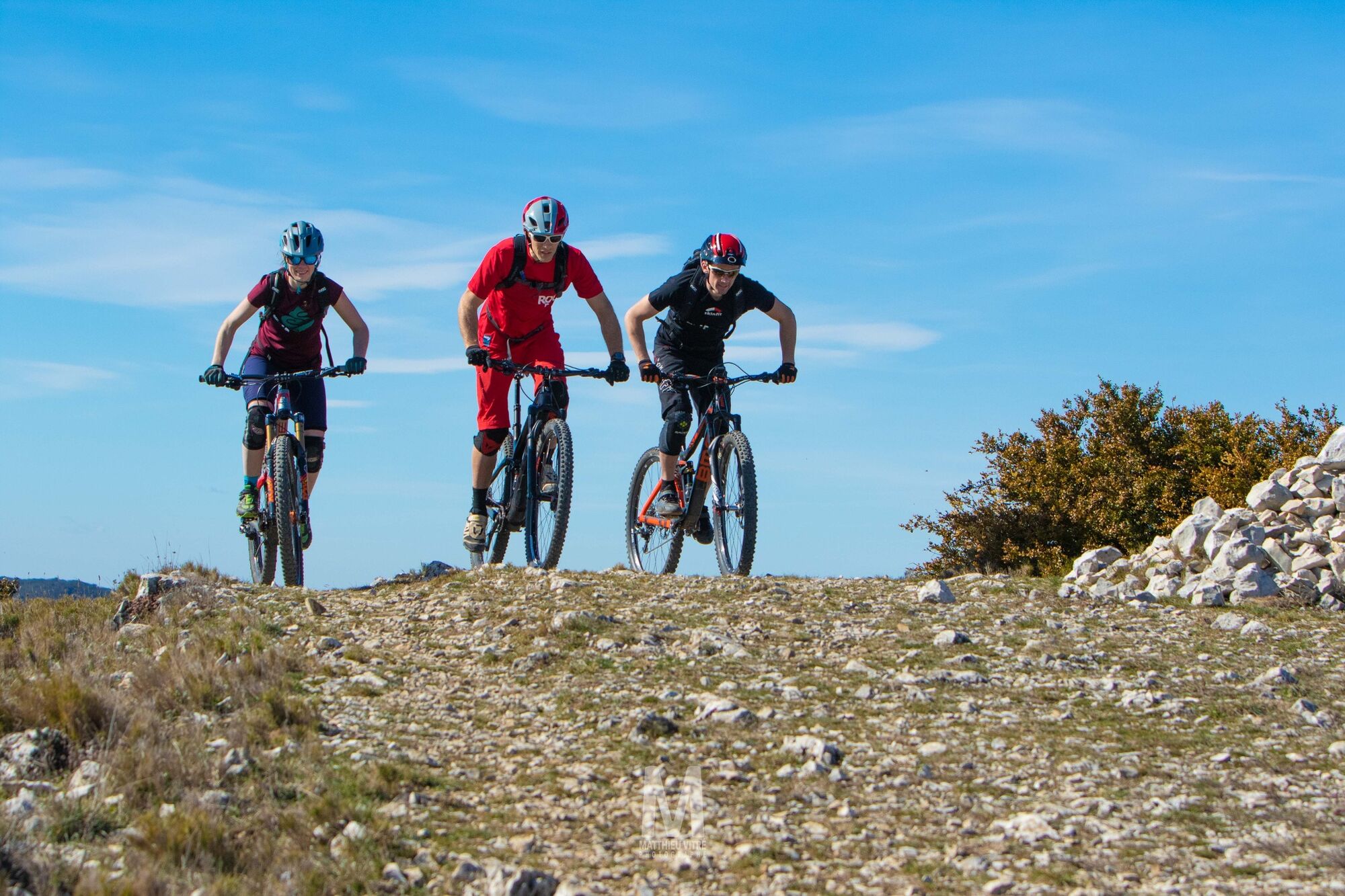
© Matthieu Vitré

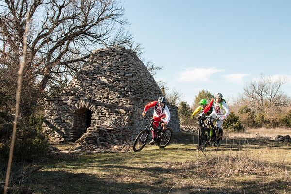
© José Barbosa

- Brief description
-
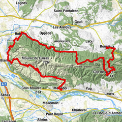
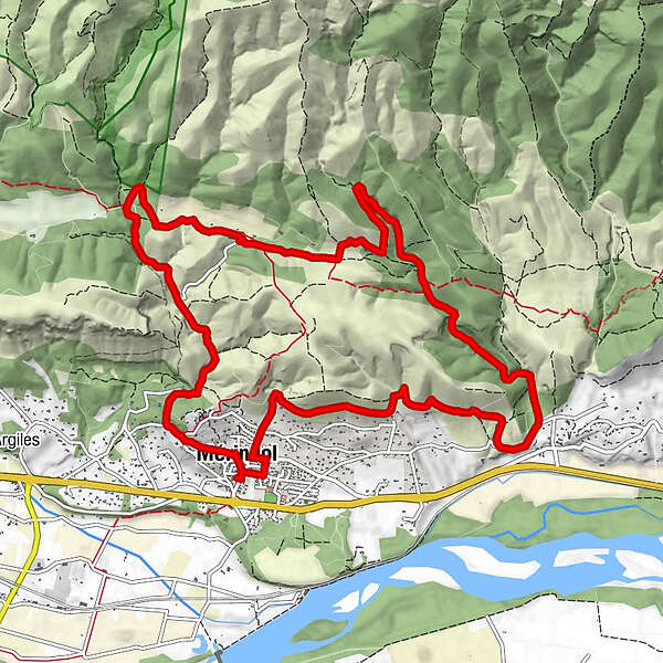
A beautiful little walk at the foot of the southern face of the Petit Luberon, between garrigue slopes and undulating combes.
- Difficulty
-
medium
- Rating
-
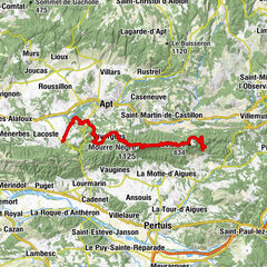
- Route
-
Église Sainte-Anne0.2 kmMérindol0.2 kmMérindol13.8 km
- Best season
-
JanFebMarAprMayJunJulAugSepOctNovDec
- Highest point
- 319 m
- Endpoint
-
Mérindol
- Height profile
-
 © outdooractive.com
 - Additional information
-
APIDAE tourism data updated on 13/05/2022 by "Destination Luberon Monts de Vaucluse".
Spotted an error? Write to the owner with the following information:
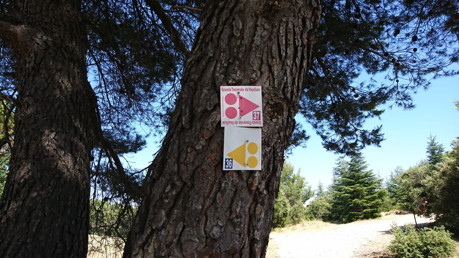
File name: VTT n°36 - Peyre Plate | Record identifier: 5647154 | URL (link) for this Outdooractive page.

- Author
-
The tour MTB no.36 - Peyre Plate is used by outdooractive.com provided.
GPS Downloads


Other tours in the regions