© Region Hohe Tatra - Slavomir Krestian

© Region Hohe Tatra - Slavomir Krestian

© Region Hohe Tatra - Slavomir Krestian

© Region Hohe Tatra - Slavomir Krestian

© Region Hohe Tatra - Slavomir Krestian
Tour data
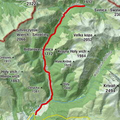
7.83km
943
- 1,206m
242hm
8hm
00:47h
Region Hohe Tatra
- Difficulty
-
easy
- Rating
-
- Route
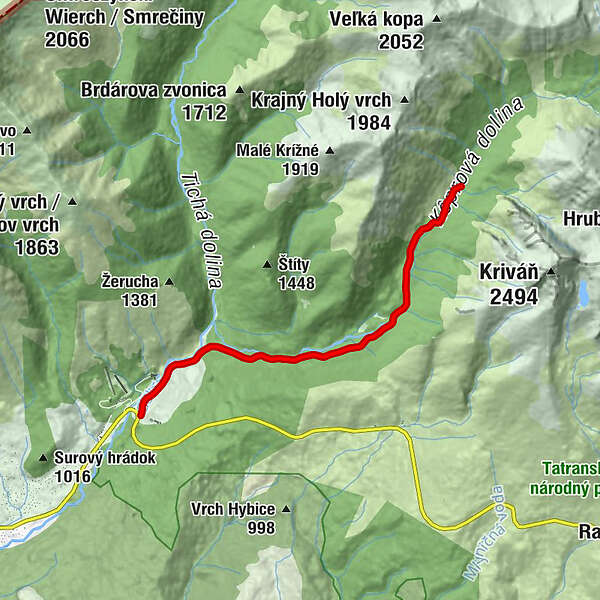
-
Untergruben0.0 kmKmeťov vodopád7.8 km
- Description
-
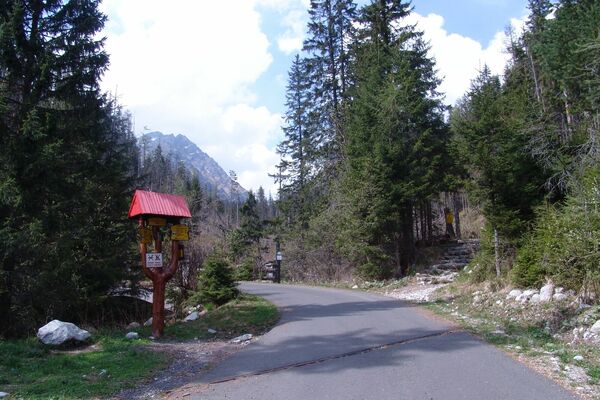
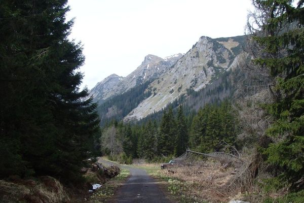
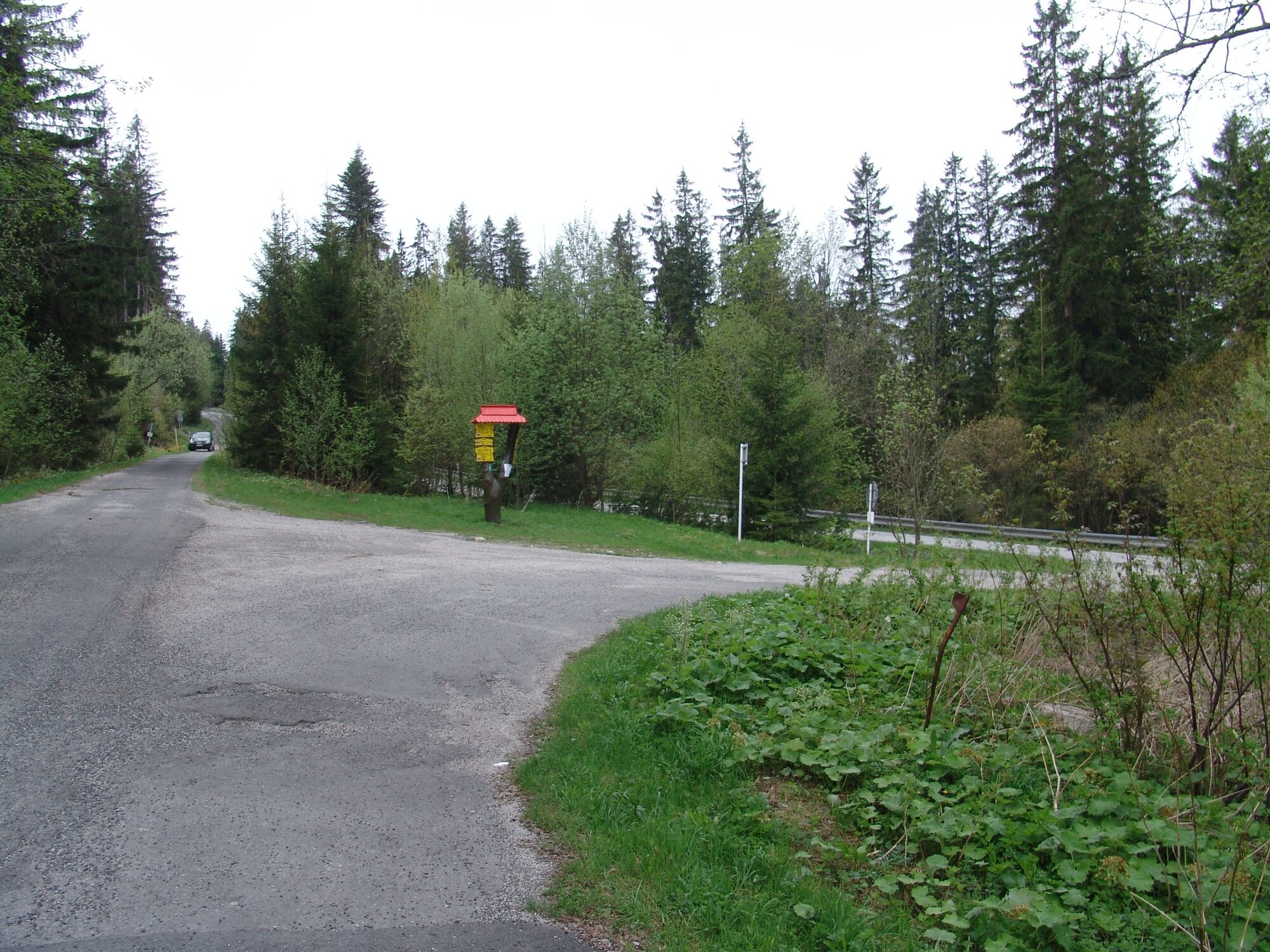
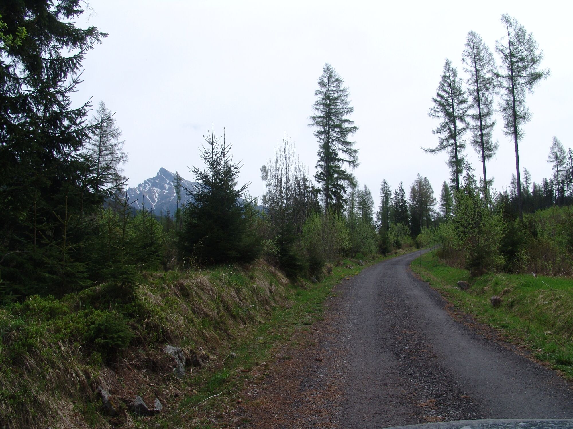
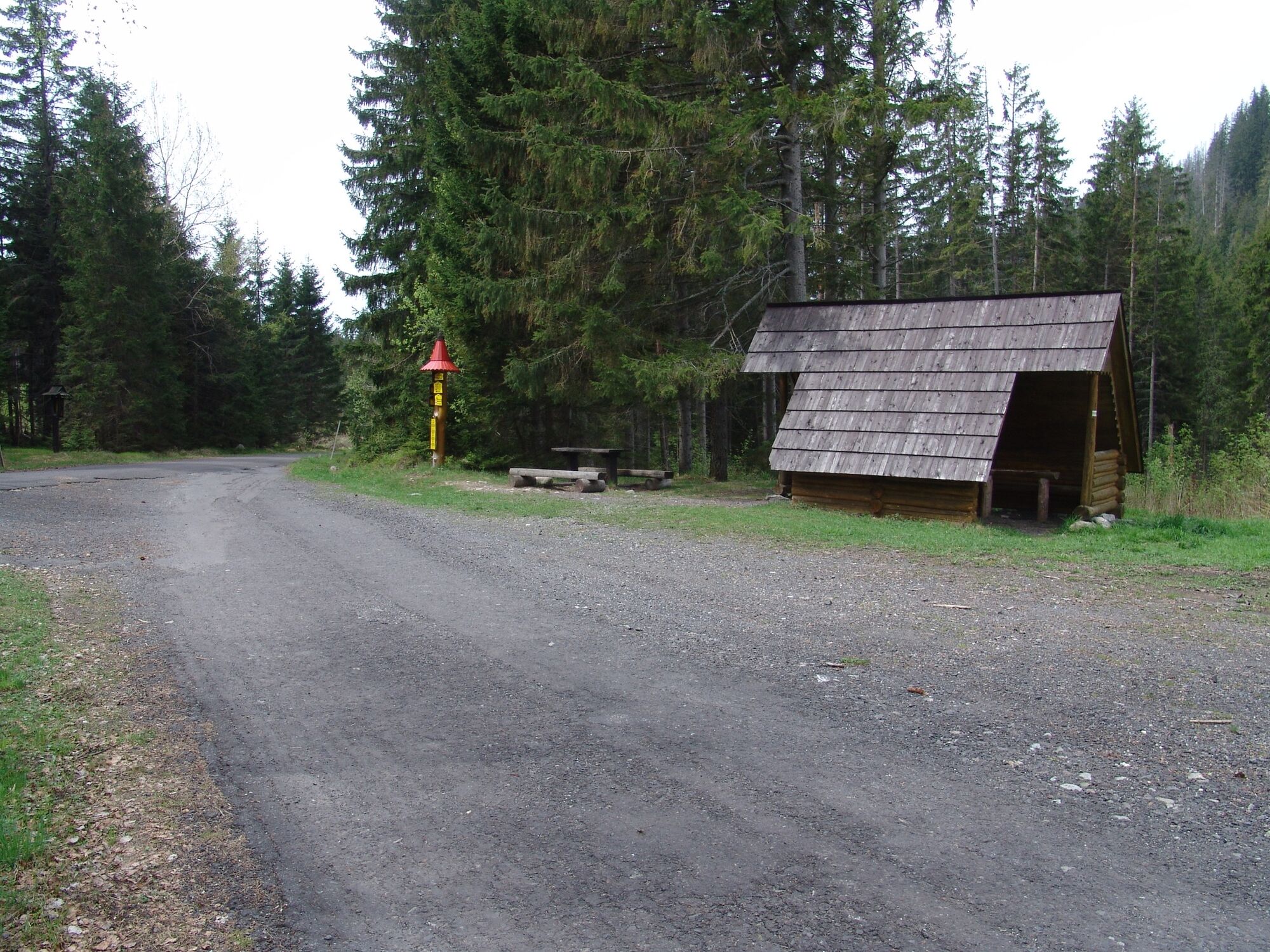
VALLEY UNDER MT. KRIVÁŇ
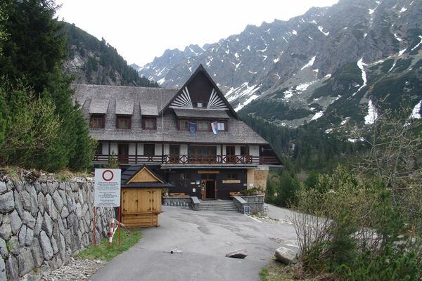
Routes designated for recreational cyclists and families with children will enchant you as they lead through beautiful and wild nature of the Western and High Tatras. Moderate ascents, beautiful views and many stops to rest. The village of Podbanské is the starting point of an asphalt tourist trail leading to a junction. Continue through the valley of Kôprová dolina and you will get to the highest waterfall in the Tatras (Kmeťov vodopád 80 m), which is located only a 3-minute walk from the trail.
- Highest point
- 1,206 m
- Endpoint
-
Kôprová dolina
- Height profile
-
 © outdooractive.com


- Author
-
Region Hohe TatraThe tour 2867 - Podbanské - Kôprová dolina is used by outdooractive.com provided.