© Region Hohe Tatra - Slavomir Krestian
© Region Hohe Tatra - Slavomir Krestian
© Region Hohe Tatra - Slavomir Krestian
© Region Hohe Tatra - Slavomir Krestian
© Region Hohe Tatra - Slavomir Krestian
© Region Hohe Tatra - Slavomir Krestian
Tour data
9.99km
670
- 743m
58hm
16hm
01:00h
Region Hohe Tatra
- Difficulty
-
easy
- Rating
-
- Starting point
-
Lysá Poľana
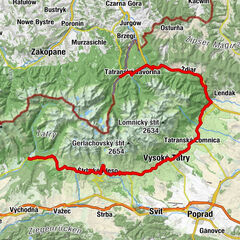
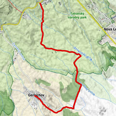
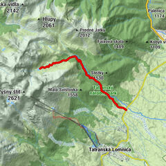
- Route
-
Deutschendorf (687 m)0.0 kmKoliba7.6 kmSvit (704 m)8.3 km
- Description
-
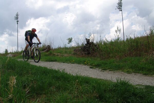
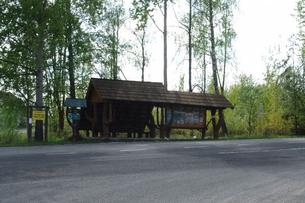
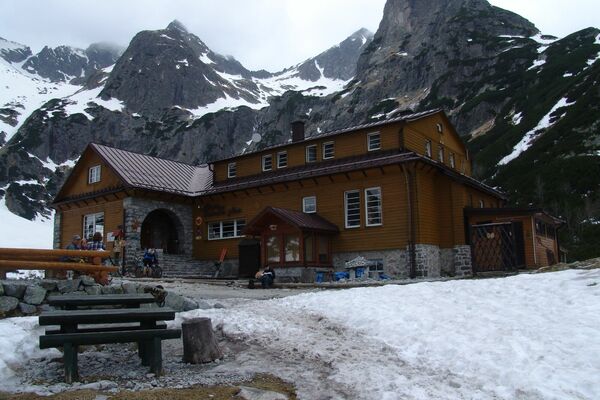
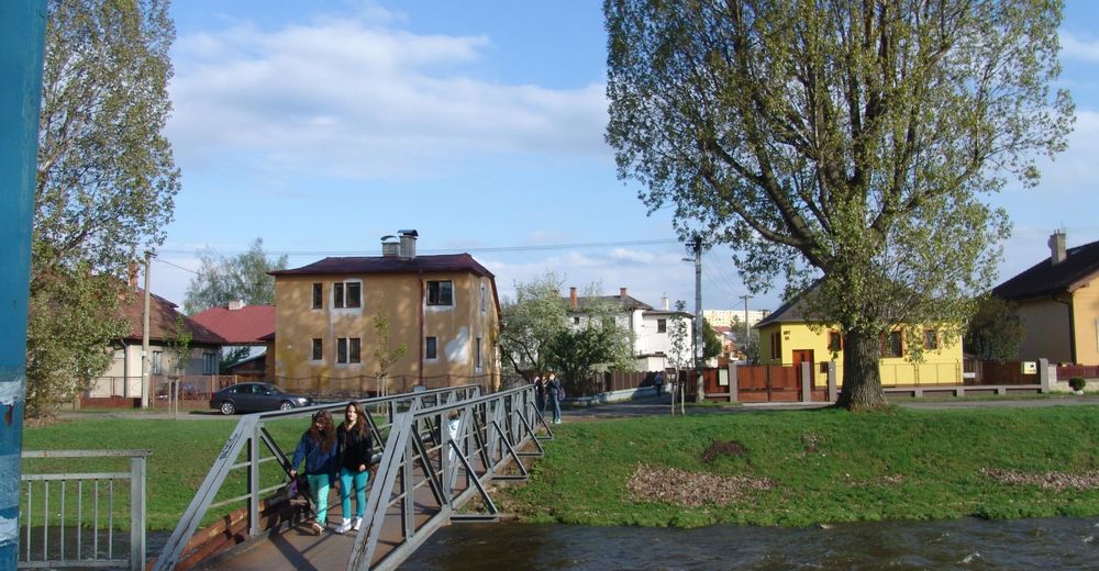
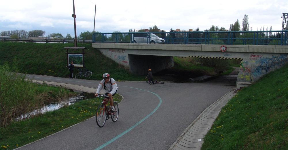
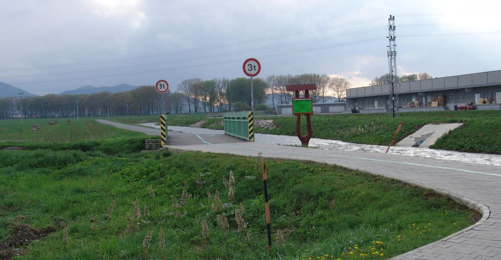
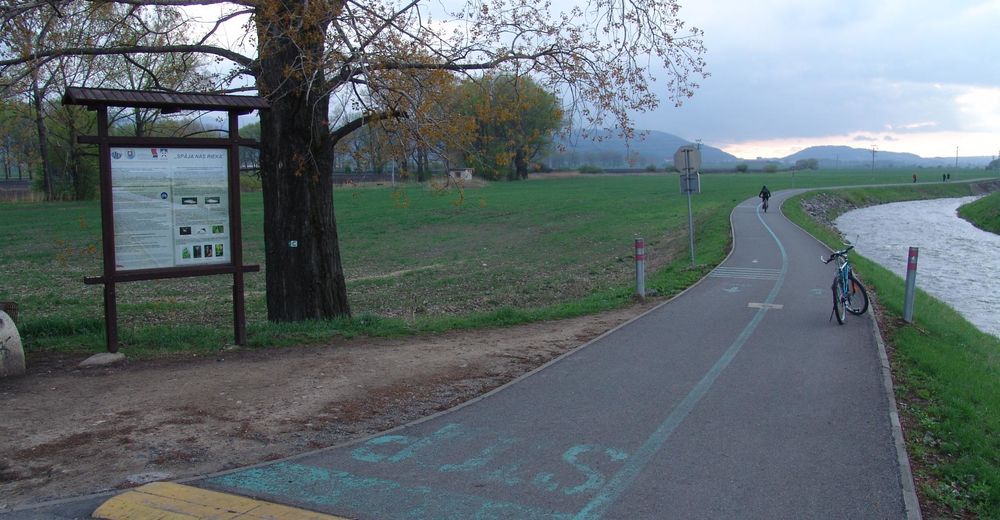
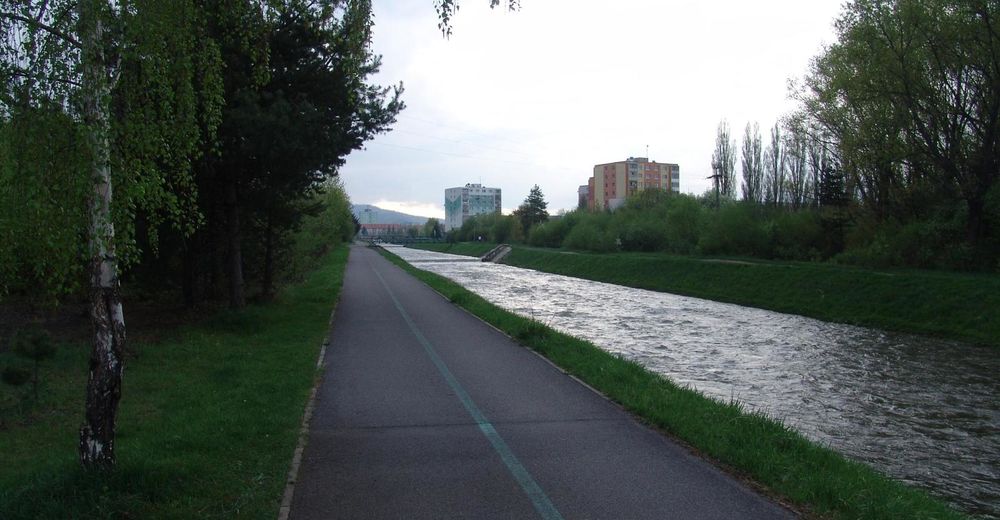
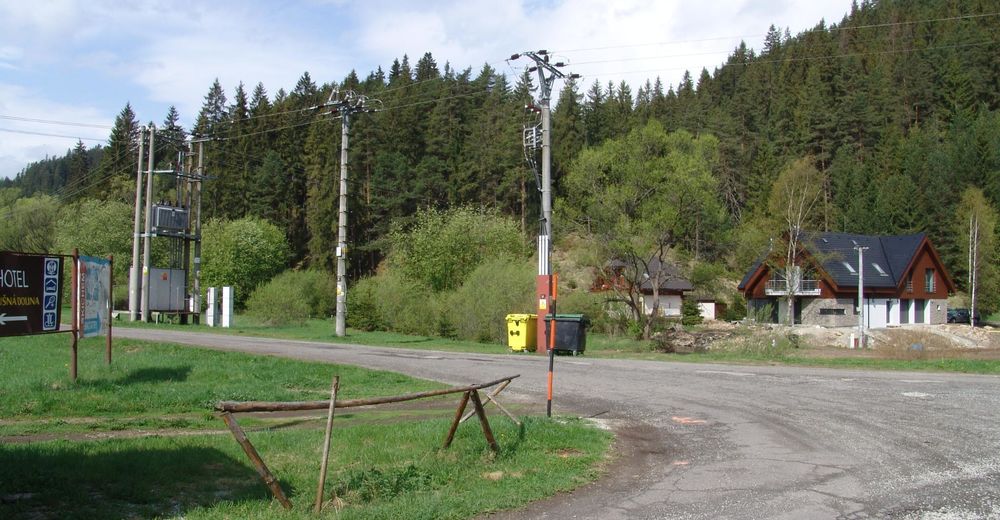
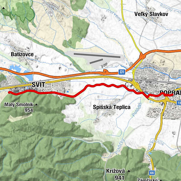
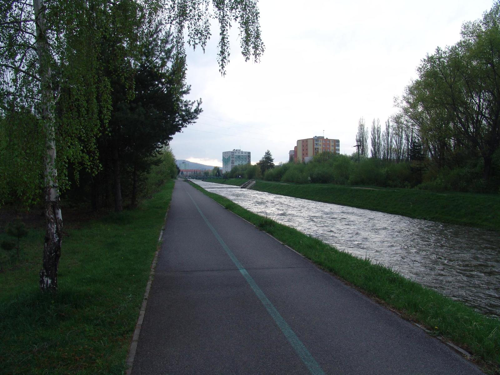
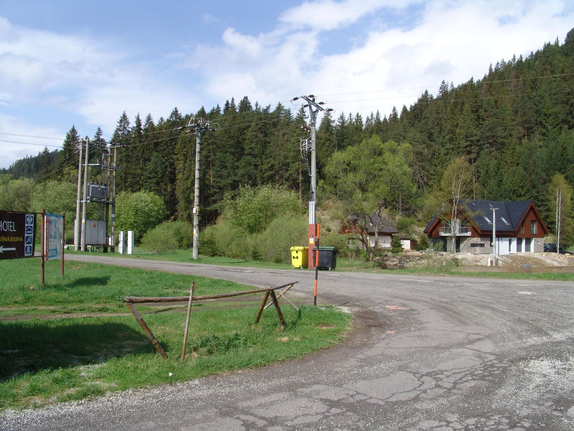
ARTERIAL CYCLE ROUTE OF POPRAD
You can join a comfortable and completely flat cycle route right in the centre of the town of Poprad, or at the car park at the Tesco supermarket. It leads through the town along the river and once you pass the Tatry shopping centre, you will enjoy a beautiful view of the highest peaks of the High Tatras. On the left, you will see the Kozie Chrbty Mts., whose ridge divides the High and Low Tatras. As the route enters the town of Svit, you will see various snack bars and a little further, you will pass the starting point of the Educational trail Baba. The route ends at the beginning of Lopušná dolina (valley). From there, you can continue to the village of Šuňava if you want.
- Highest point
- 743 m
- Endpoint
-
Tatranská Lomnica
- Height profile
-
 © outdooractive.com

- Author
-
Region Hohe TatraThe tour 008 - Popradská cyklomagistrála is used by outdooractive.com provided.
GPS Downloads


Other tours in the regions
-
Poprad
19