© Südsteiermark - TV Südsteiermark

© Nordic Walking VINOTOUR
- Brief description
-
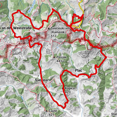
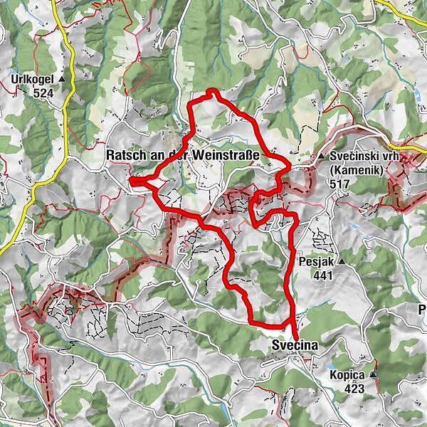
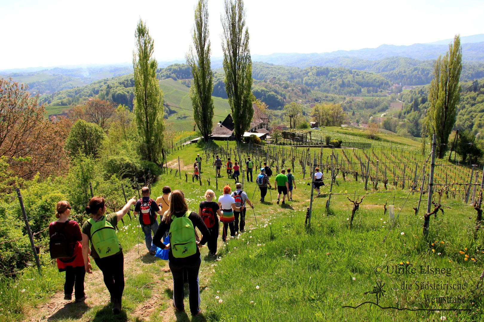
Vinotour ist das erste internationale Nordic-Walking durch das Steirisch-Slowenische Weinbaugebiet.
- Rating
-
- Route
-
Witschein (388 m)Urbanikapelle5.9 kmRatsch an der Weinstraße6.0 kmPečovje (473 m)7.9 kmWitschein (388 m)10.4 km
- Best season
-
JanFebMarAprMayJunJulAugSepOctNovDec
- Highest point
- 484 m
- Endpoint
-
Sportplatz Svecina
- Height profile
-
 © outdooractive.com
-

-
AuthorThe tour Nordic Walking Vinotour - Rote Strecke is used by outdooractive.com provided.
GPS Downloads


General info
Refreshment stop
A lot of view
Other tours in the regions