© Nationalpark Bayerischer Wald, Gregor Wolf

© Nationalpark Bayerischer Wald, Gregor Wolf

© Naturpark Bayerischer Wald

© Nationalpark Bayerischer Wald, Teresa Schreib

© Nationalpark Bayerischer Wald

© Nationalpark Bayerischer Wald

© Martin Stadler

© Martin Stadler

- Brief description
-
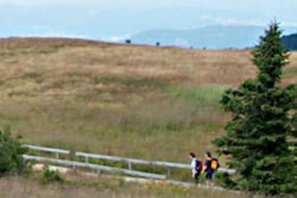
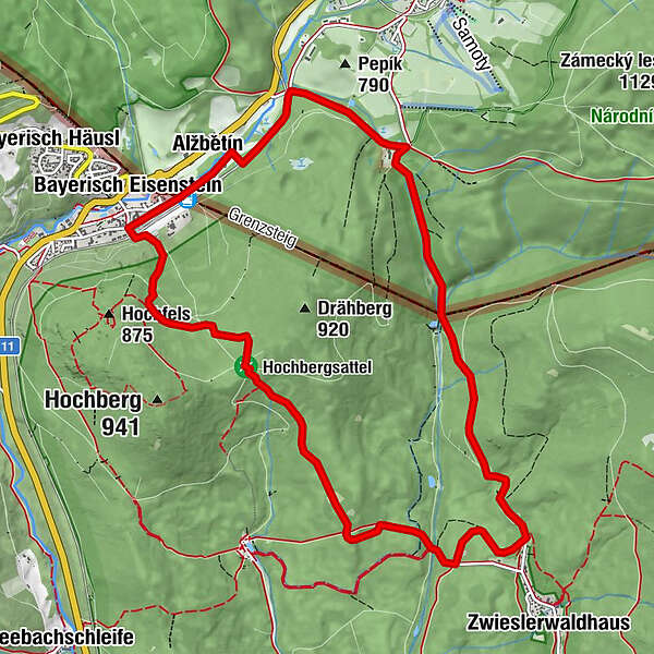
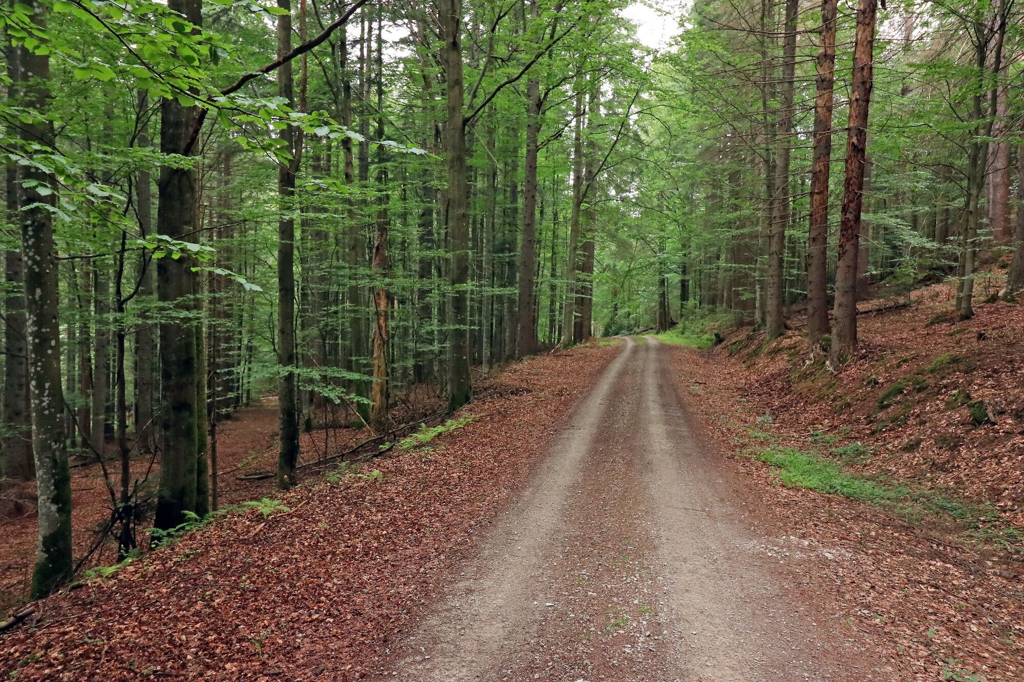
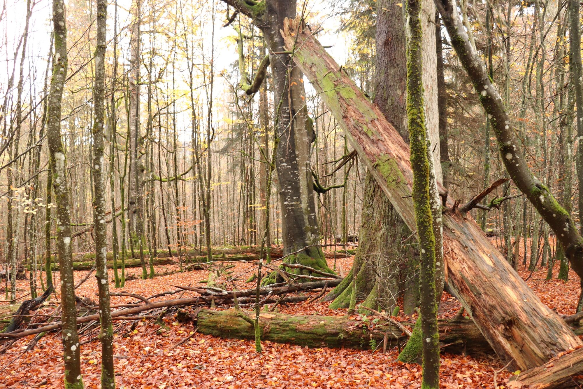
Mittelschwere Tour durch das bayerisch-tschechische Grenzgebiet östlich von Bayerisch Eisenstein.
- Difficulty
-
medium
- Rating
-
- Route
-
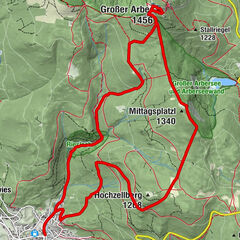
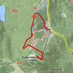
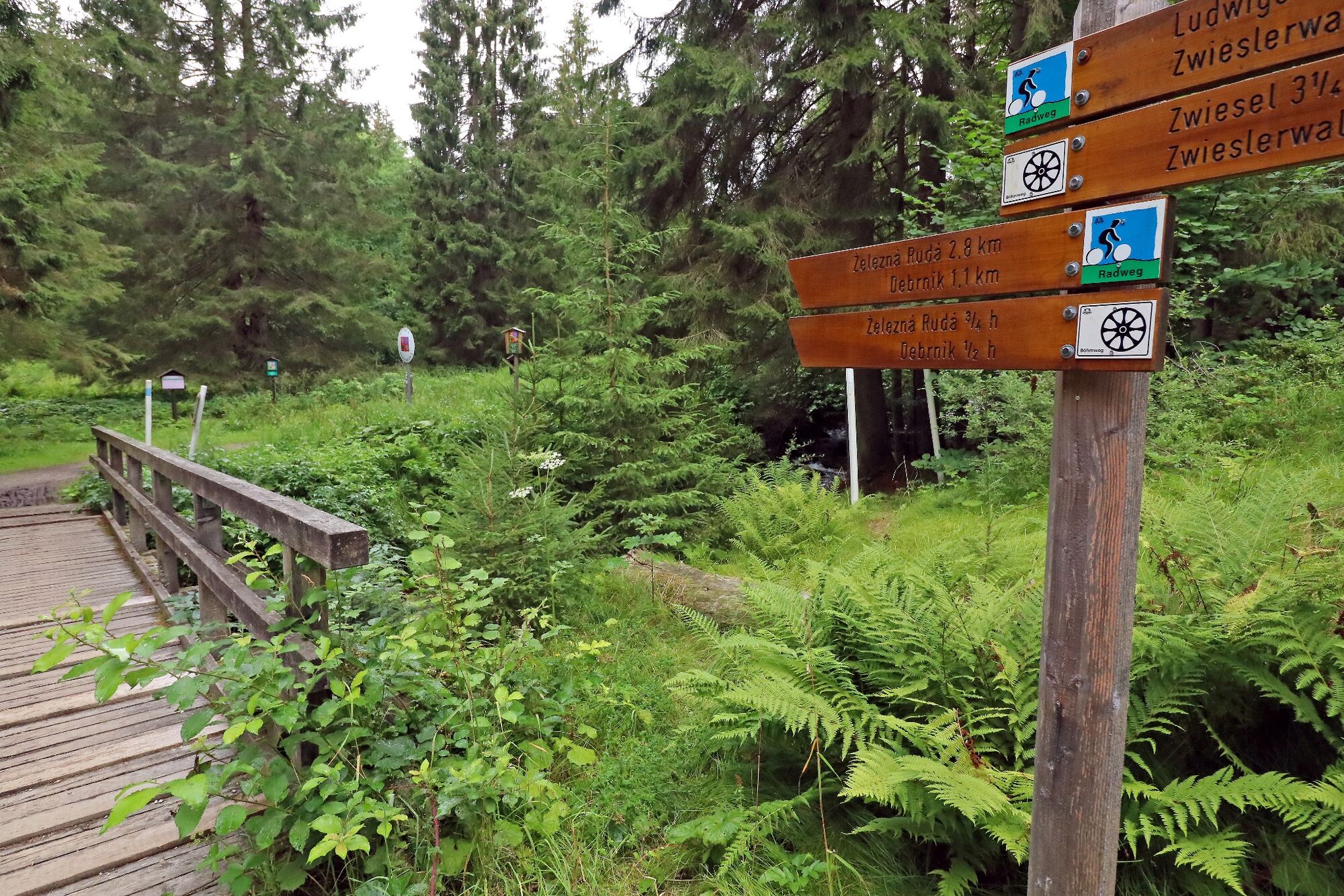
Bayerisch Eisensteinan der Landesgrenze-Bahnhof0.0 kmBahnhof Bayerisch Eisenstein / Markt Eisenstein - Elisenthal0.0 kmElisenthal0.4 kmDeffernik1.9 kmBrechhäuselau6.4 kmfitalPARCOURS10.9 kmBayerisch Eisenstein11.2 kmElisenthal11.5 kman der Landesgrenze-Bahnhof11.5 km
- Best season
-
JanFebMarAprMayJunJulAugSepOctNovDec
- Highest point
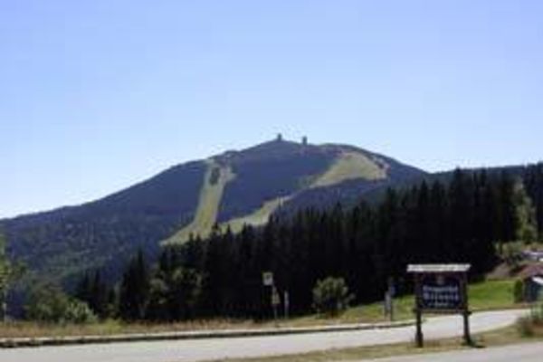
- 853 m
- Endpoint
-
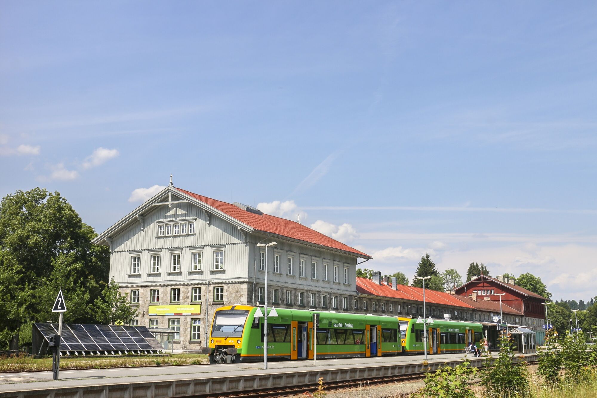
Bahnhof Bayerisch Eisenstein, Bahnhofstraße 54, 94252 Bayerisch Eisenstein
- Height profile
-
 © outdooractive.com


- Author
-
The tour Im Ferdinandsthal grenzüberschreitend wandern is used by outdooractive.com provided.
GPS Downloads


General info
Refreshment stop
Other tours in the regions
-
Bayerischer Wald
521
-
Bayerisch Eisenstein
240