© Comuni in Rete - Luca Giraudo

© Comuni in Rete - Luca Giraudo

- Brief description
-
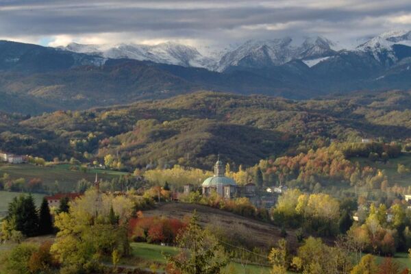
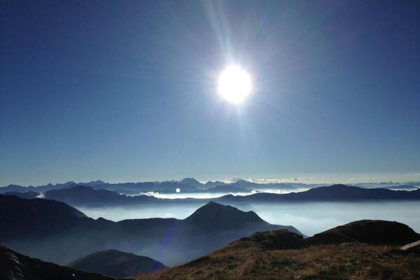
Diese Route hat ein gewisses naturalistisches Interesse, da sie entlang der Schwemmstufe führt, die zum Bett des Flusses Stura führt.
Reiseroute realisiert im Rahmen des Projekts "Kommunen im Netz - Let's start with health" und finanziert von der CRC Foundation, umgesetzt auf der Outdoor Active Plattform im Rahmen des Projekts "Comuni in Forma - Bürger, Wohlbefinden und Territorium" Danke zur Finanzierung durch die CRT-Stiftung.
- Difficulty
-
easy
- Rating
-
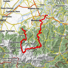
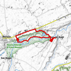
- Route
-
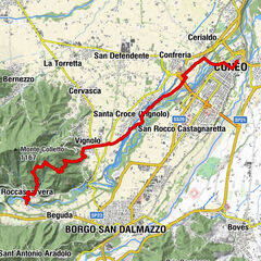
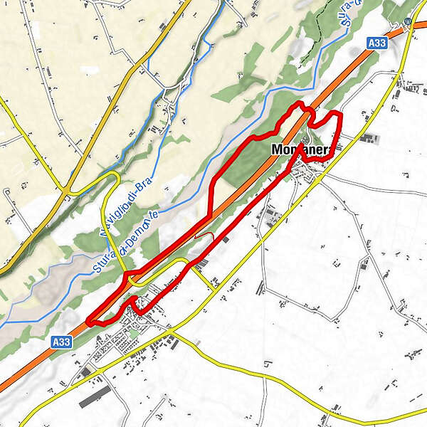
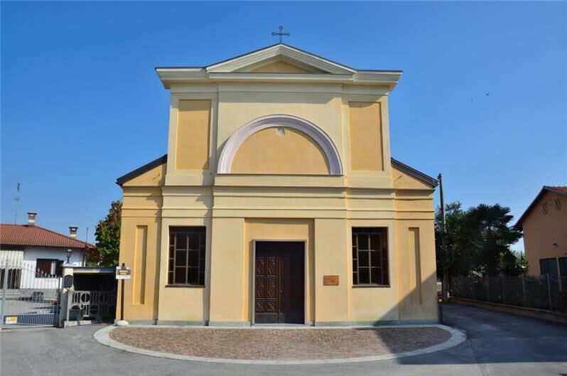
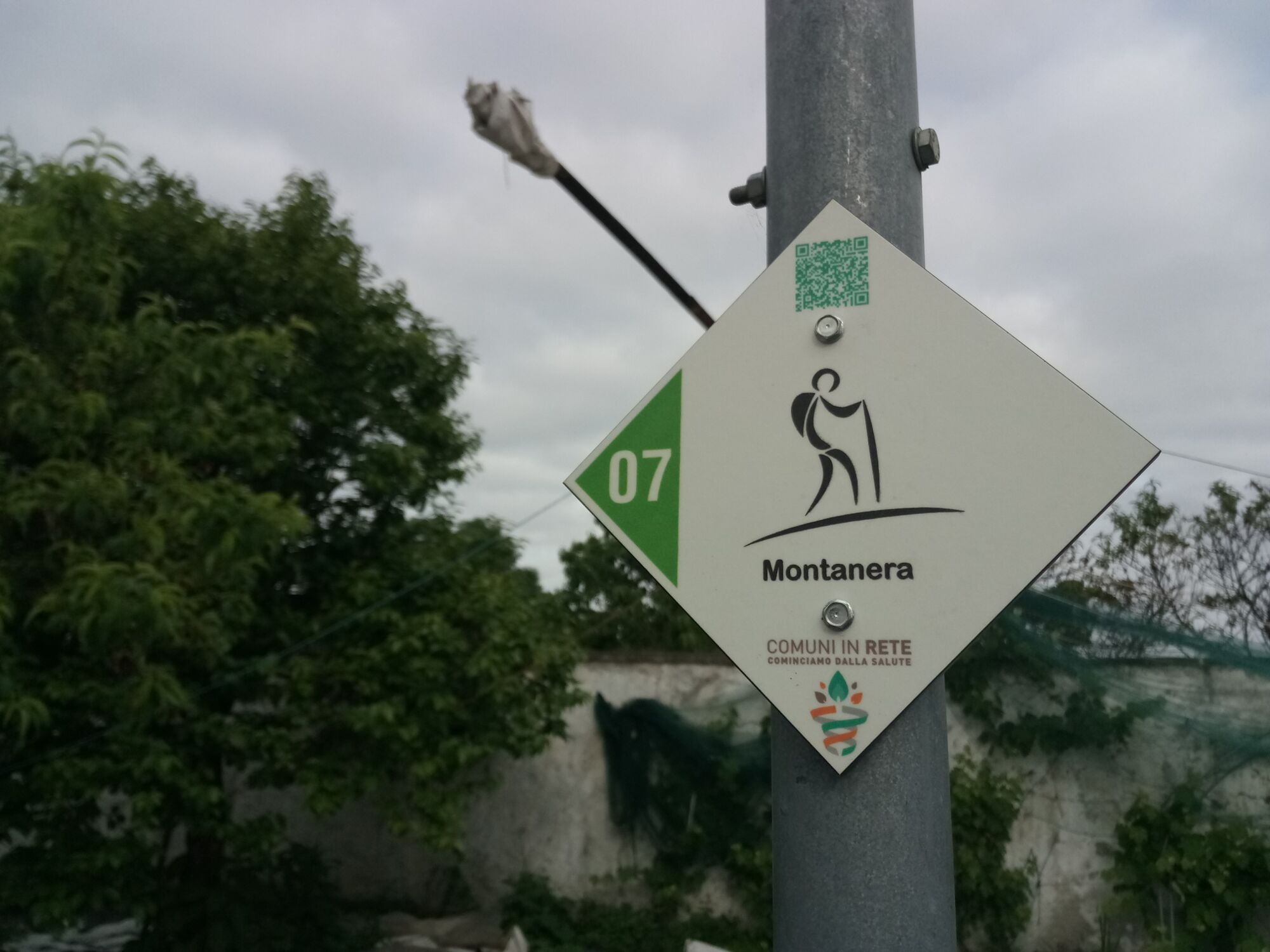
Montanera0.1 kmChiesa della Confraternita0.1 kmCappella di San Rocco0.3 kmParrocchia di Castelletto Stura2.9 kmCastelletto Stura (447 m)2.9 kmTrattoria Roma3.0 kmMontanera10.2 kmChiesa della Confraternita10.2 kmChiesa della Trasfigurazione di Nostro Signore10.2 km
- Best season
-
JanFebMarAprMayJunJulAugSepOctNovDec
- Highest point
- 444 m
- Endpoint
-
Piazza Massimo D’Azeglio
- Height profile
-
 © outdooractive.com
-

-
AuthorThe tour Montanera Parco Fluviale Gesso Stura is used by outdooractive.com provided.
GPS Downloads


General info
Healthy climate
Flora
Other tours in the regions
-
Cuneo und Umgebung
369
-
Cuneo
15