

- Brief description
-
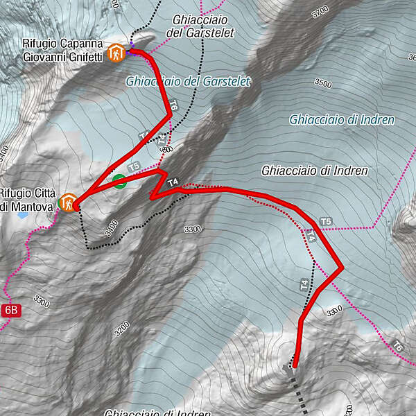
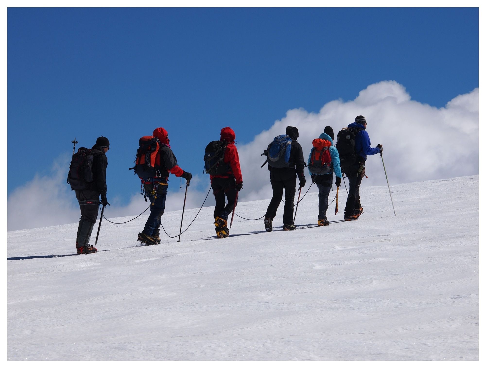
Climb to the shelters on the glacier, first stretch with cableways.
- Difficulty
-
difficult
- Rating
-
- Starting point
-
Gressoney La Trinité - Loc. Staffal
- Route
-
Rifugio Città di Mantova1.4 km
- Best season
-
JanFebMarAprMayJunJulAugSepOctNovDec
- Description
-
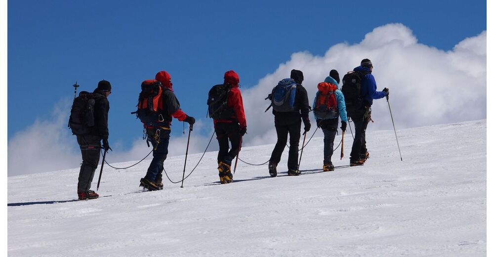
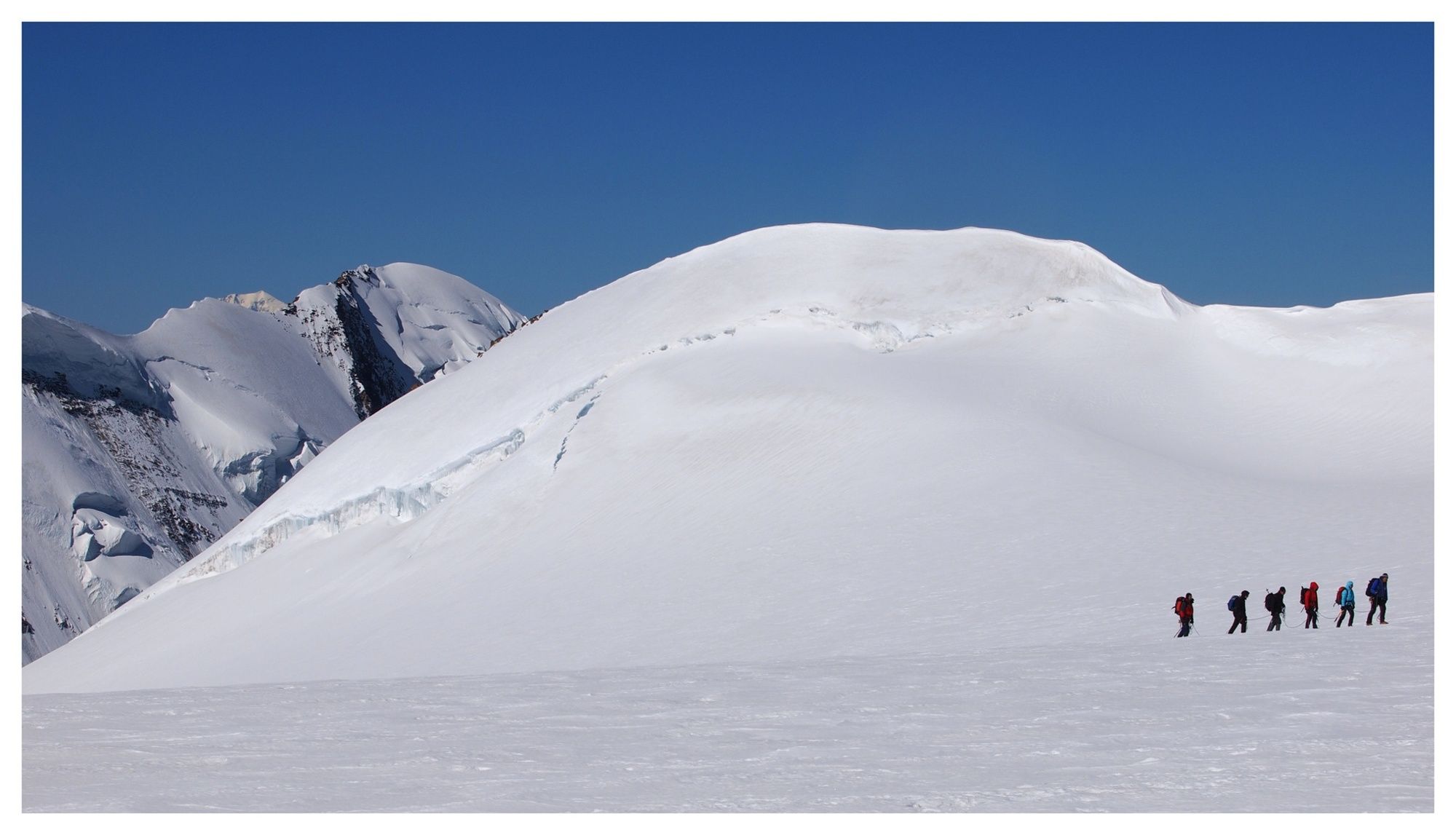
Climb to the two huts usually with the ski lifts up to Punta Indren 3275 meters, following the trail mark 6A, on the glacier of the Garstelet, you will first meet the Rifugio Città di Mantova 3498 meters and after about 25 minutes walk you reach the Gnifetti Refuge mt 3647. Both mountain huts are used as a base for various ascents in the Monte Rosa massif, the most classic of which is certainly the ascent to the Margherita Refuge 4554 meters, the highest refuge in Europe.
- Highest point
- 3,593 m
- Endpoint
-
Rifugio Città di Mantova e Rifugio Gnifetti
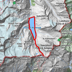
- Height profile
-
 © outdooractive.com
 - Tips
-
Routes for expert mountaineers or accompanied by an Alpine Guide.
- Additional information
-
Company Gressoney Guides www.guidemonterosa.info e-mail info@guidemonterosa.info Ph: +39 3475898120
Guidemonterosa srl www.guidemonterosa.com e-mail info@guidemonterosa.com Ph: +39 0125 366019 – +39 349 3674950
-

-
AuthorThe tour unta Indren - Refuge Città di Mantova - Refuge Gnifetti is used by outdooractive.com provided.


General info
-
Biella und Umgebung
263
-
Monte Rosa
216
-
Gressoney La Trinité
62

")

")

")