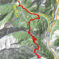
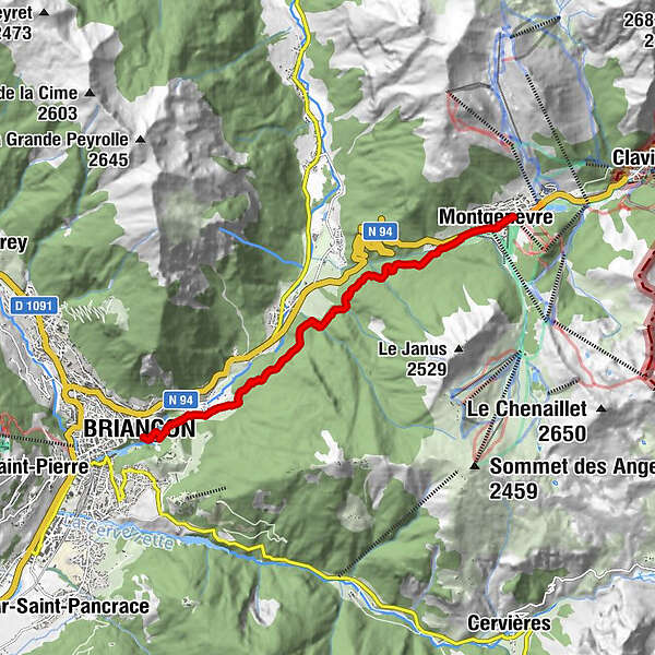
GR®5 Alpes - De Montgenèvre à Briançon (21)

long-distance walking trail
© Unbekannt - Nicolas Svetchine
Tour data
8.93km
1,278
- 1,853m
93hm
609hm
02:50h

TILT COM’SEIL
- Brief description
-
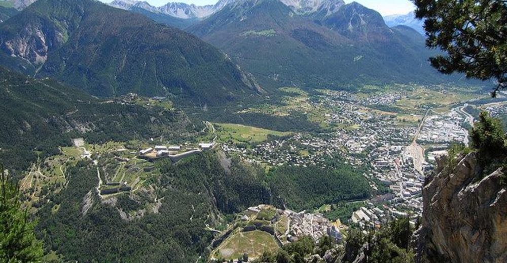
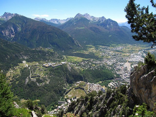
De Montgenèvre à Briançon, cette courte étape de transition permet de visiter les fortifications Vauban et la vieille ville.
- Difficulty
-
easy
- Rating
-
- Route
-
notre dame des sept douleurs0.1 kmMonginevro0.4 kmL'Envers de Fontenil7.3 kmLe Fontenil7.3 kmBriançon8.9 km
- Best season
-
JanFebMarAprMayJunJulAugSepOctNovDec
- Highest point
- 1,853 m
- Endpoint
-
Briançon
- Height profile
-
 © outdooractive.com
- Author
-
TILT COM’SEILThe tour GR®5 Alpes - De Montgenèvre à Briançon (21) is used by outdooractive.com provided.
GPS Downloads


Other tours in the regions
-
Hautes Alpes
1013
-
Briançonnais
635
-
Cesana - Sansicario
172