© Point Prod - La Grande Traversée des Alpes - les films

© Unbekannt - Nicolas Svetchine

© Unbekannt - Nicolas Svetchine
Tour data
21.36km
1,207
- 2,465m
1,344hm
905hm
07:47h


TILT COM’SEIL
- Brief description
-
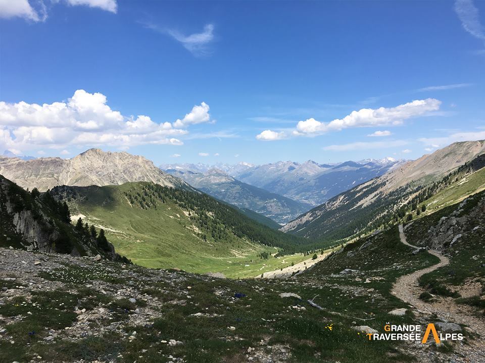
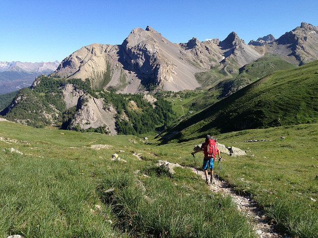
Vous entrez dans le Parc naturel régional du Queyras par le col des Ayes à 2447 m et rejoignez Brunissard après une belle étape de 20 km.
- Difficulty
-
difficult
- Rating
-
- Route
-
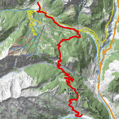
Briançon0.1 kmLe Barry0.6 kmÉglise Saint-Roch2.2 kmChalle Coutte2.4 kmVillar-Saint-Pancrace5.7 kmLa Gardiole6.4 kmLe Lauzin7.5 kmChalets des Ayes11.1 kmAyes pass15.9 kmLe Jamberoute20.6 kmBrunissard21.1 km
- Best season
-
JanFebMarAprMayJunJulAugSepOctNovDec
- Highest point
- 2,465 m
- Endpoint
-
Brunissard
- Height profile
-
 © outdooractive.com

- Author
-
TILT COM’SEILThe tour GR5 Alpes - De Briançon à Brunissard (22) is used by outdooractive.com provided.
GPS Downloads


Other tours in the regions
-
Hautes Alpes
1019
-
Briançonnais
636