- Brief description
-
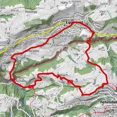
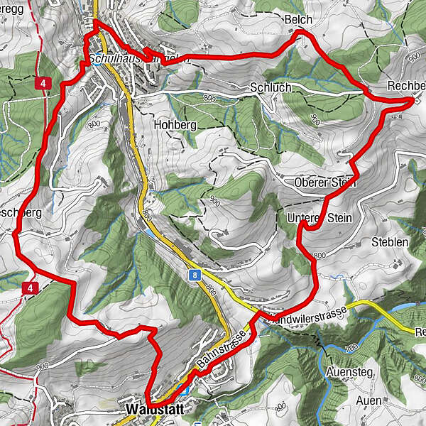
The hiking trail from Wilen station in Herisau, via Nieschberg mountain to Waldstatt and back on the other side of the hill via Rechberg and Belch to the starting point boasts views reaching from Lake Constance to the Alpstein massif.
- Difficulty
-
medium
- Rating
-
- Starting point
-
Herisau, Wilen station
- Route
-
Herisau (771 m)Runder Tisch0.6 kmNieschberg (926 m)1.2 kmRestaurant Frohe Aussicht2.4 kmEvangelisch-Reformierte Kirche3.1 kmWaldstatt3.1 kmWaldstatt (816 m)3.4 kmUnterer Stein5.2 kmOberer Stein5.3 kmWirtschaft zum Rechberg6.2 kmRechberg6.2 kmBelch7.1 kmLangelen7.6 kmHerisau (771 m)8.7 km
- Best season
-
AugSepOctNovDecJanFebMarAprMayJunJul
- Description
-
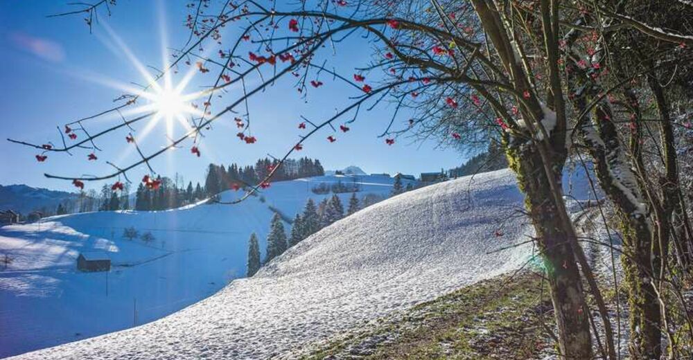
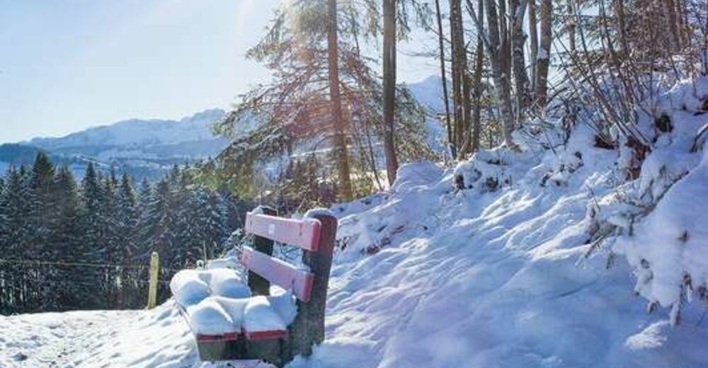
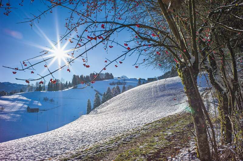
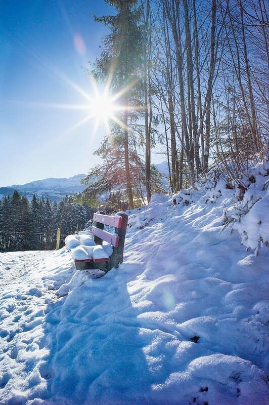
The trails are also well accessible in the snow. During the cold months, the low winter sun makes for a fascinating play of light and shadow.
- Directions
-
Herisau, Wilen station – Ebnet – Nieschberg – Geisshalden – Waldstatt station – Hof – Oberer Stein – Rechberg – Belch – Herisau, Wilen station
- Highest point
- 934 m
- Endpoint
-
Herisau, Wilen station
- Height profile
-
 © outdooractive.com
 - Equipment
-
Good footwear, hiking or trekking shoes.
If there is a lot of fresh snow, we recommend snow shoes for individual sections of the trail.
- Tips
-
We recommend a visit to the Rechberg restaurant.
- Additional information
- Public transportation
-
By bus or train, the journey from Herisau station to Wilen station (stop on request) takes about 5 minutes.
- Parking
-
Parking is available at the station in Herisau.
- Author
-
The tour Across lovely hills with distant views is used by outdooractive.com provided.