© Heidiland Tourismus - Thomas Kessler

© Heidiland Tourismus - Riccarda Heis

© Heidiland Tourismus - Riccarda Heis

© Heidiland Tourismus - Riccarda Heis

© Heidiland Tourismus - Riccarda Heis

- Brief description
-
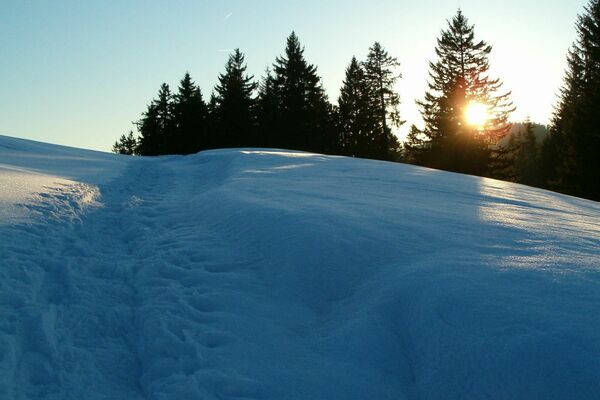
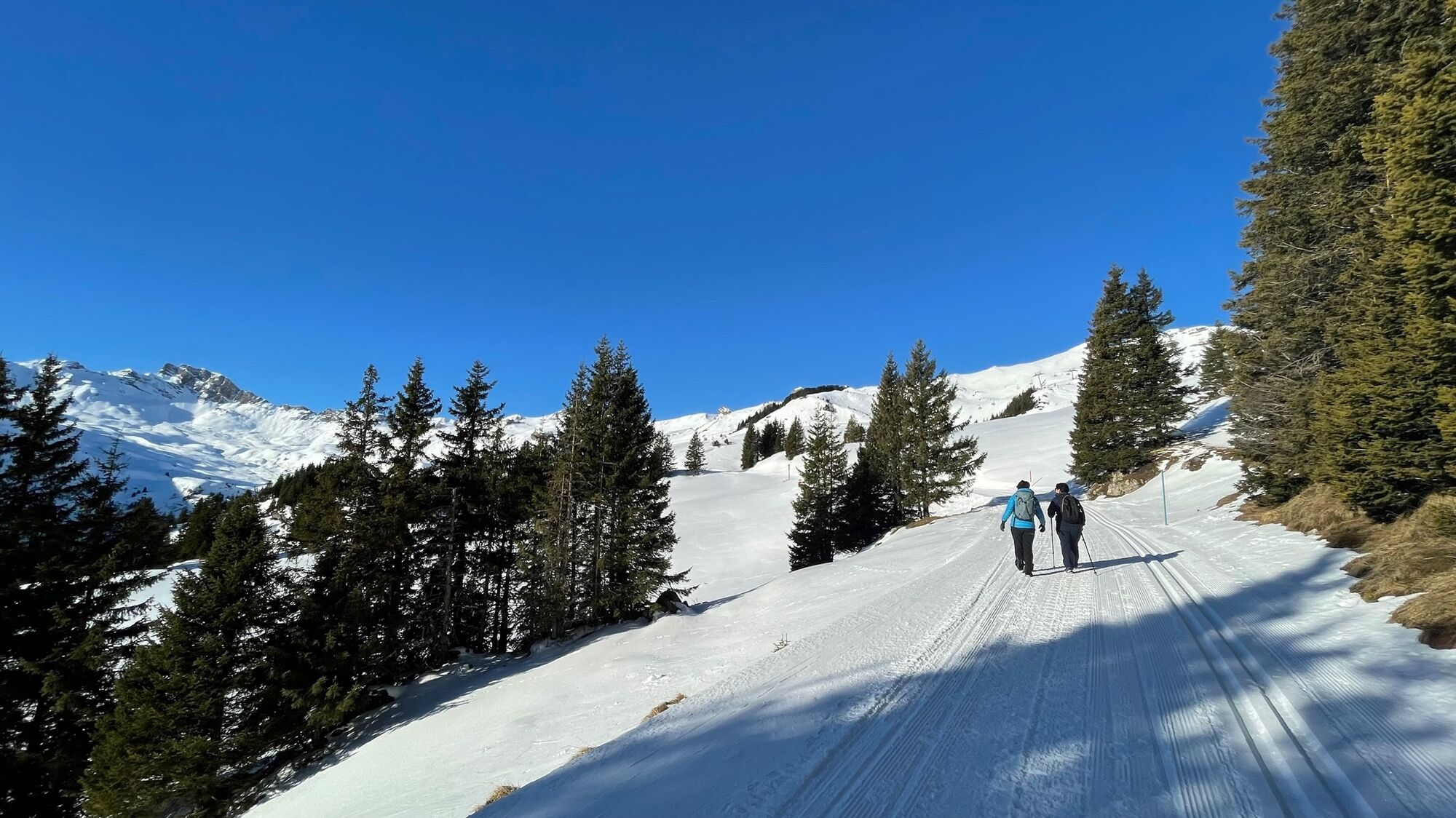
A wonderful winter hike leads from Prodalp to Panüöl.
- Difficulty
-
medium
- Rating
-
- Route
-
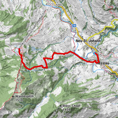
Panüöl3.9 kmPanüöl (1,800 m)4.0 km
- Best season
-
AugSepOctNovDecJanFebMarAprMayJunJul
- Description
-
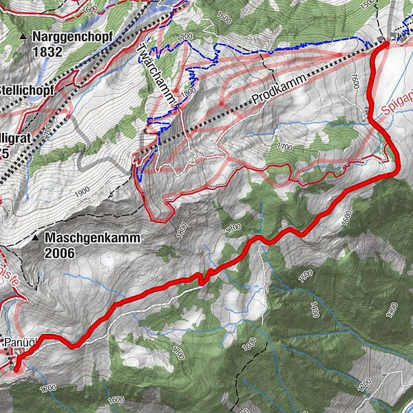
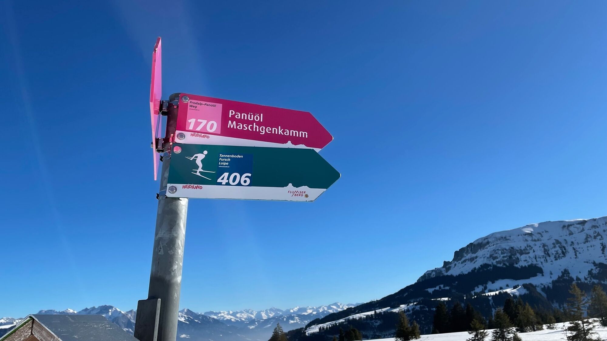
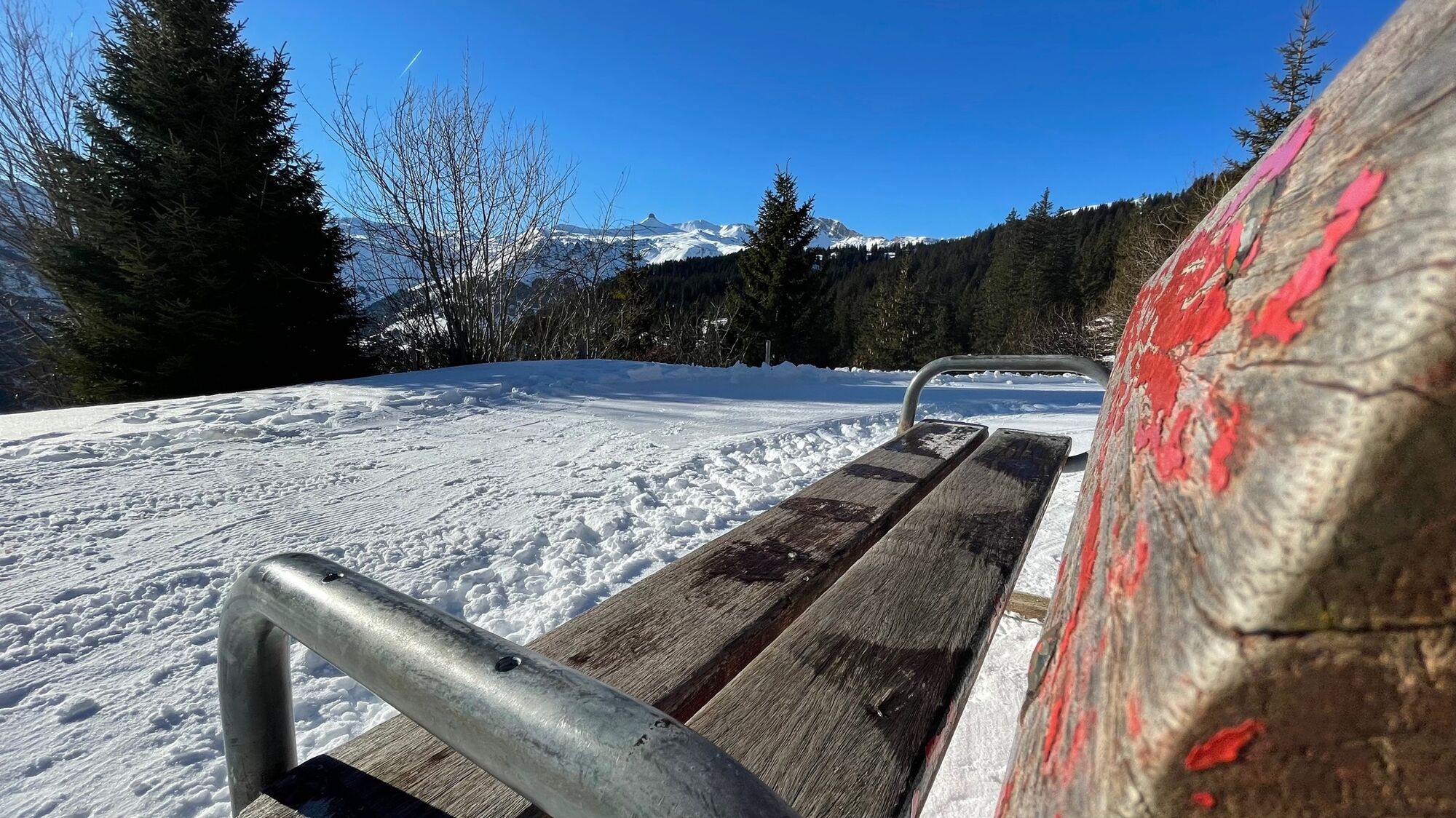
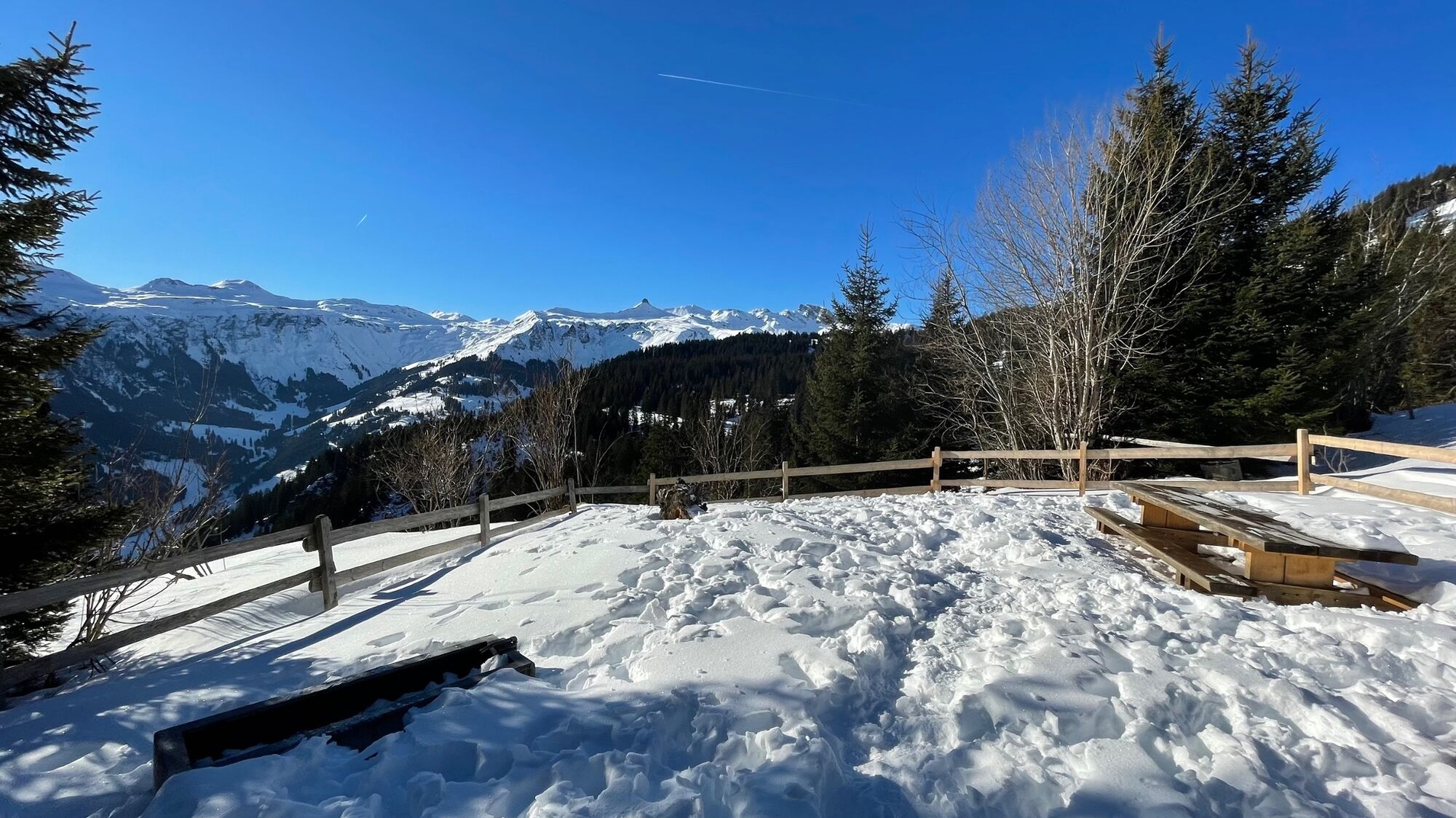
We take the 12-seater gondola up from Tannenheim to Prodalp. Once at the top, we follow the signs towards Panüöl. We walk to the left of the valley station of the 8-seater chairlift "Prodkamm" next to the piste and follow the winter hiking trail. This leads along the plain and is shared with the cross-country skiers. Afterwards, the trail runs mostly in the forest with views of the surrounding mountains. When you reach the rest area, it is worth stopping for a moment to enjoy the view. Continue along the path until you finally reach Prodalp. Here you have the option of continuing the winter hike to Fursch. This hiking trail is signposted on Prodalp.
- Highest point
- 1,805 m
- Endpoint
-
Panüöl, Flumserberg
- Height profile
-
 © outdooractive.com

-

-
AuthorThe tour Prodalp-Panüöl is used by outdooractive.com provided.
GPS Downloads


General info
Refreshment stop
A lot of view
Other tours in the regions
-
Heidiland
216
-
Flumserberg und Umgebung
61
-
Flumserberg
31