- Brief description
-
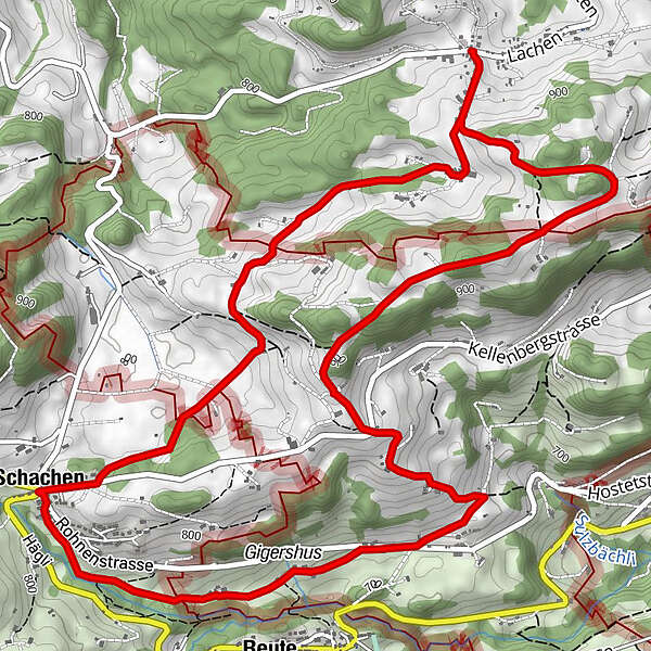
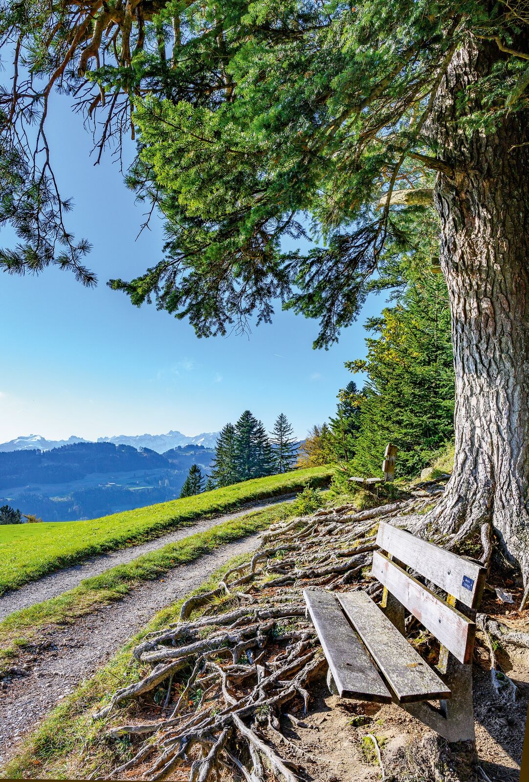
he roads and trails between Lachen and Schachen are perfect for a winter hike.
- Difficulty
-
medium
- Rating
-
- Starting point
-
Lachen (Walzenhausen) village
- Route
-
Sonne Blatten2.6 kmGigershus4.3 kmReute (703 m)4.5 kmSchachen (815 m)5.5 km
- Best season
-
AugSepOctNovDecJanFebMarAprMayJunJul
- Description
-
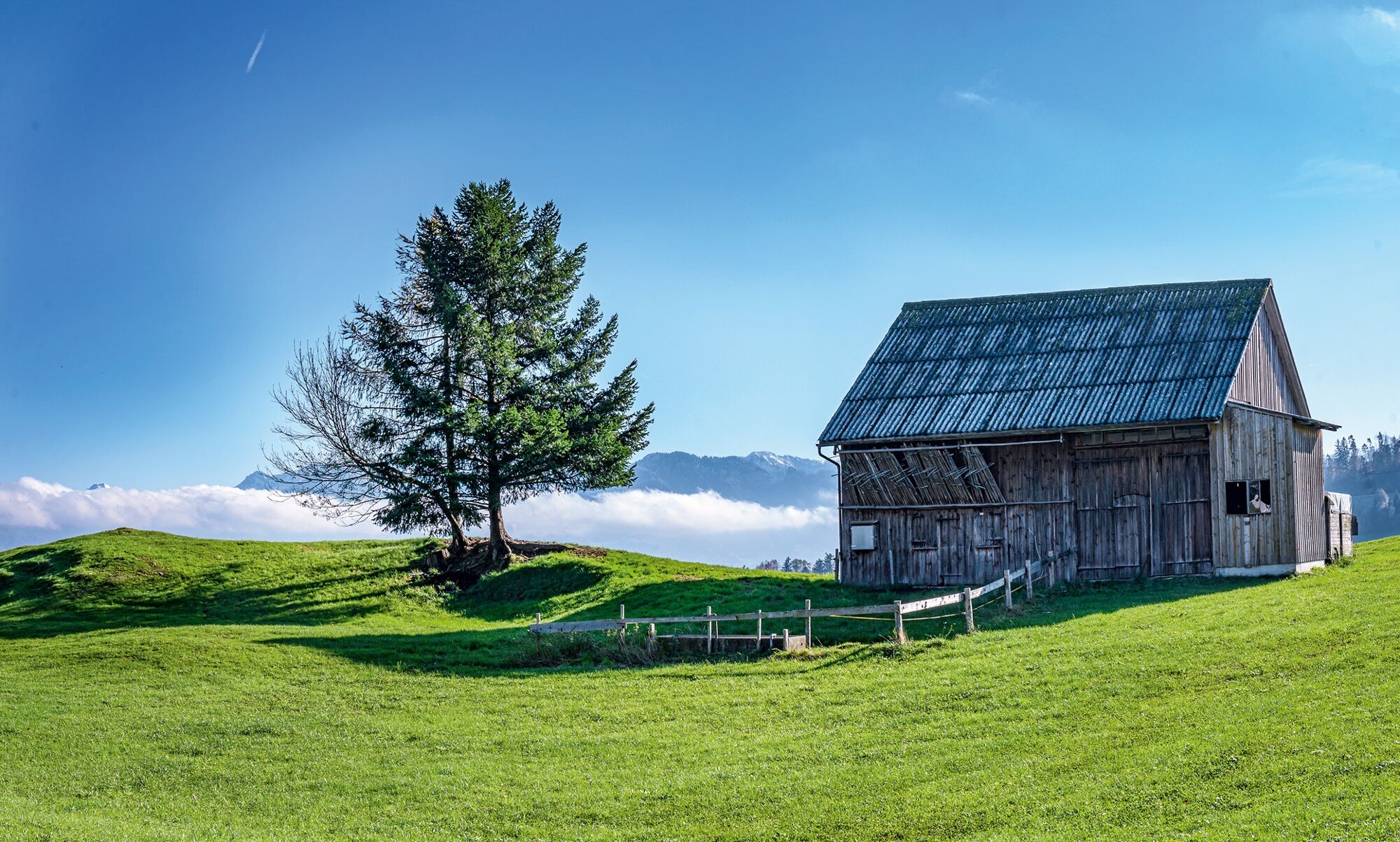
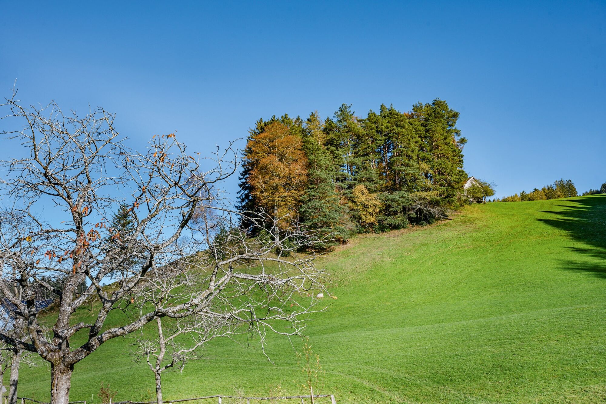
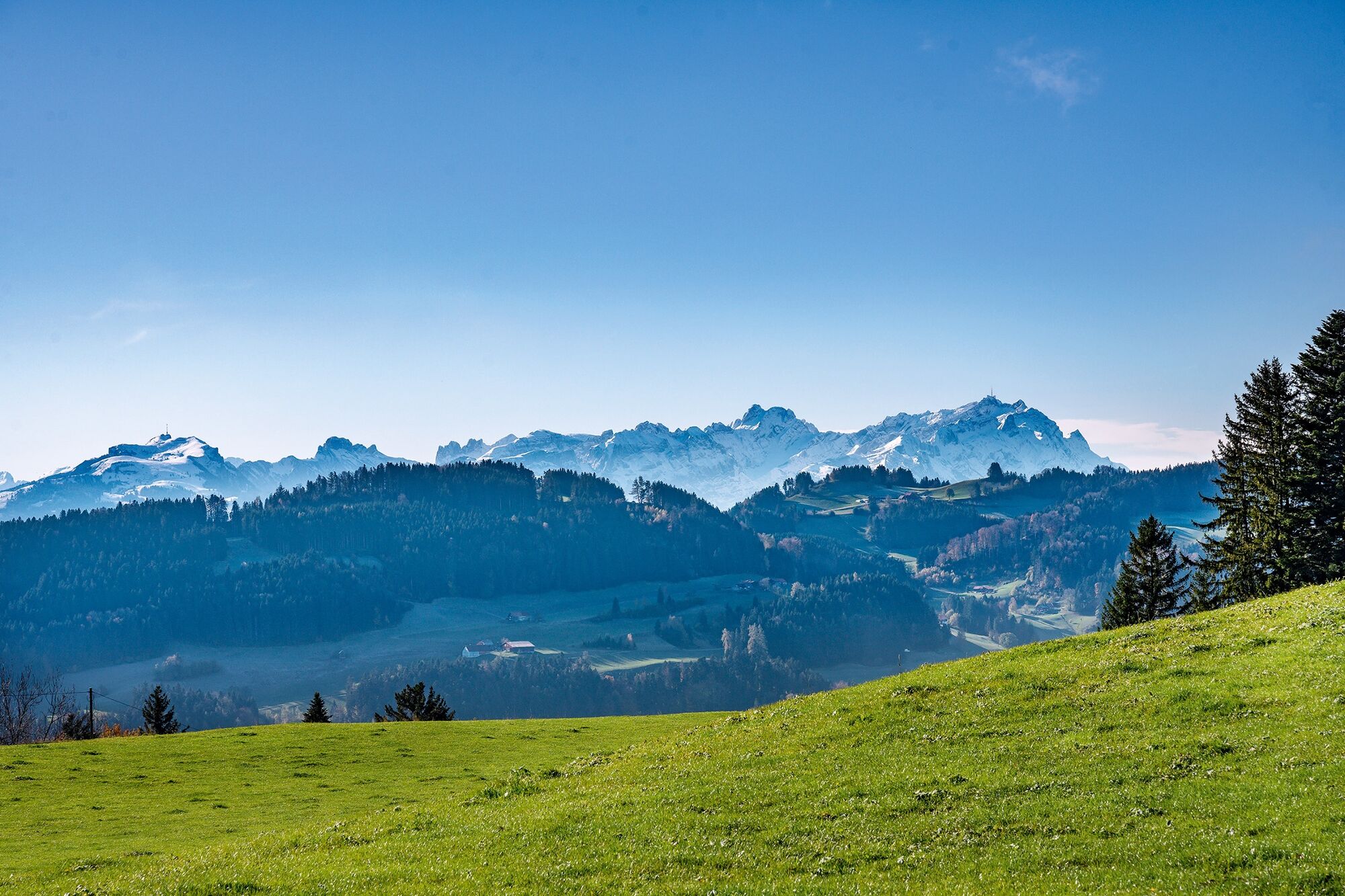
For now, only the mountain tops are covered in snow. But the Foreland border region between Innerrhoden and Ausserrhoden is always a good choice for a hike at this time of year. At 850 metres above sea level, fog rarely obstructs the spectacular views over the lovely hills of the Appenzellerland to the Alpstein massif and over the Rhine Valley to the Vorarlberg Alps.
- Directions
-
Lachen (Walzenhausen) village – Höchi – Blasen – Schurtanne – Gerschwendi – Blatten – Loch – Gigershus – Schachen – Najenriet – Rank – Grauenstein
- Highest point
- 943 m
- Endpoint
-
Lachen (Walzenhausen) village
- Height profile
-
 © outdooractive.com
 - Equipment
-
Good footwear, hiking or trekking shoes
- Additional information
- Public transportation
-
By post bus from Walzenhausen or Heiden to Lachen
- Parking
-
Parking is available at the old school in the village


- Author
-
The tour Mist in the valley, snow on the mountains is used by outdooractive.com provided.