
- Brief description
-
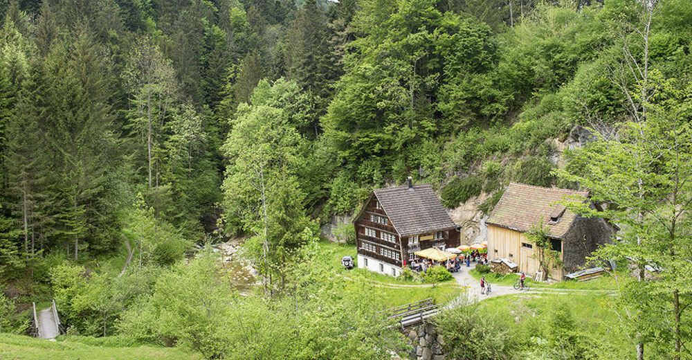
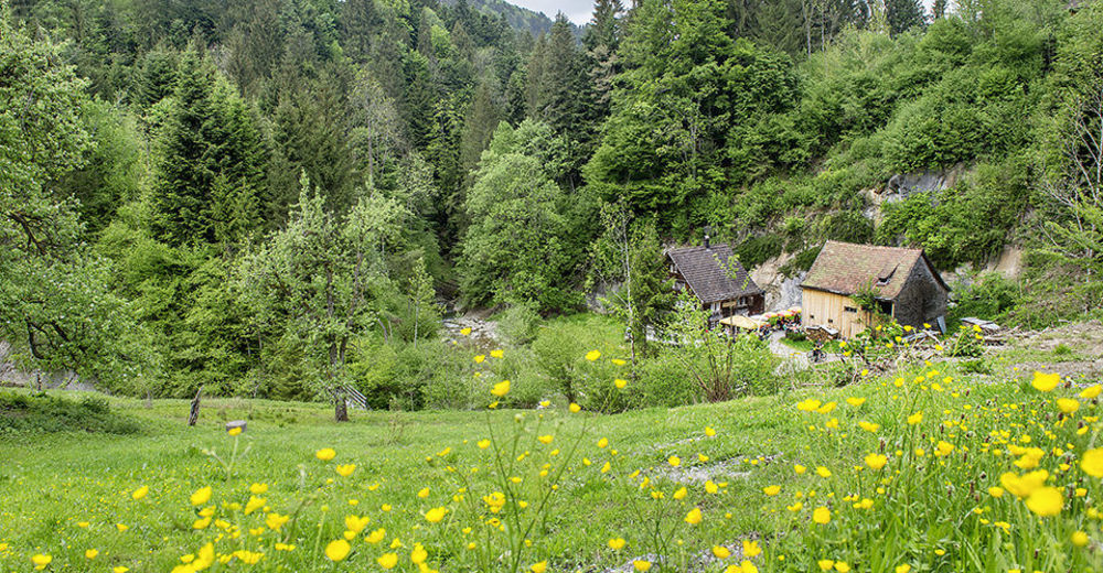
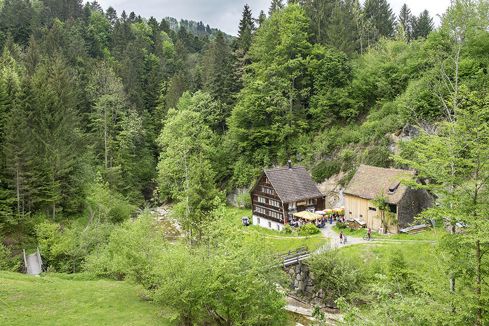
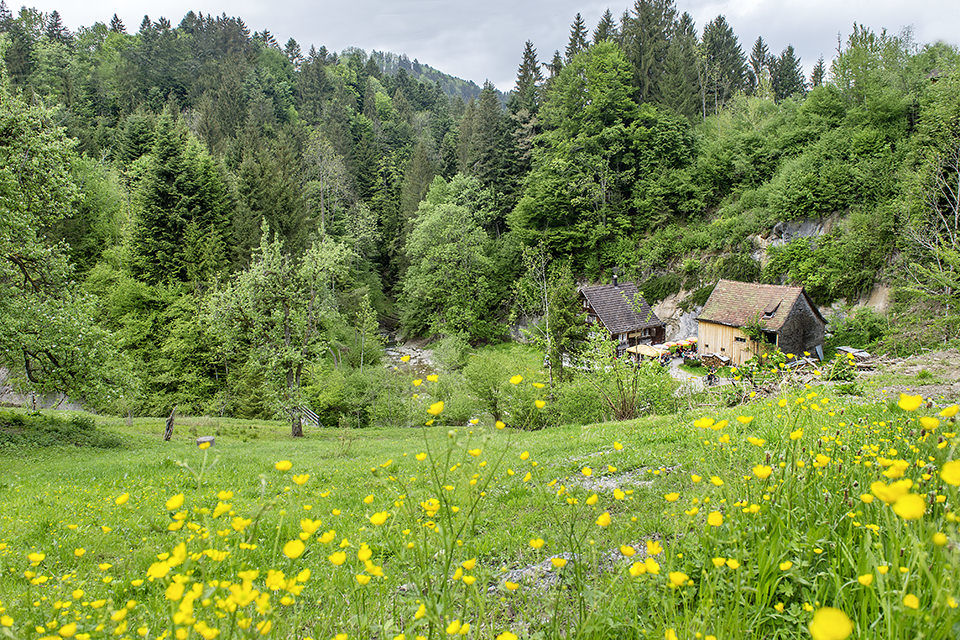
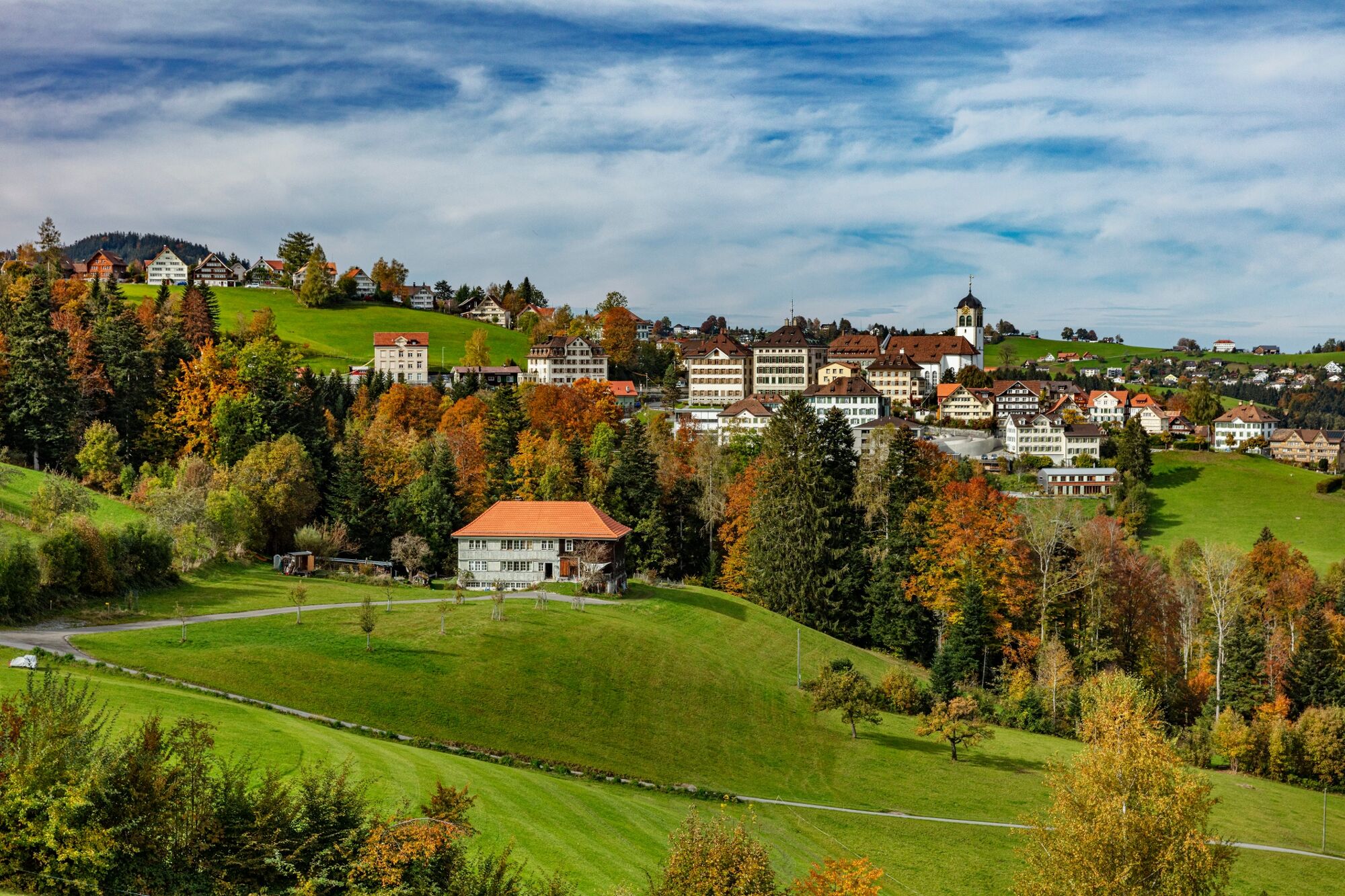
Discover the beauty of nature in the Chastenloch.
- Difficulty
-
medium
- Rating
-
- Starting point
-
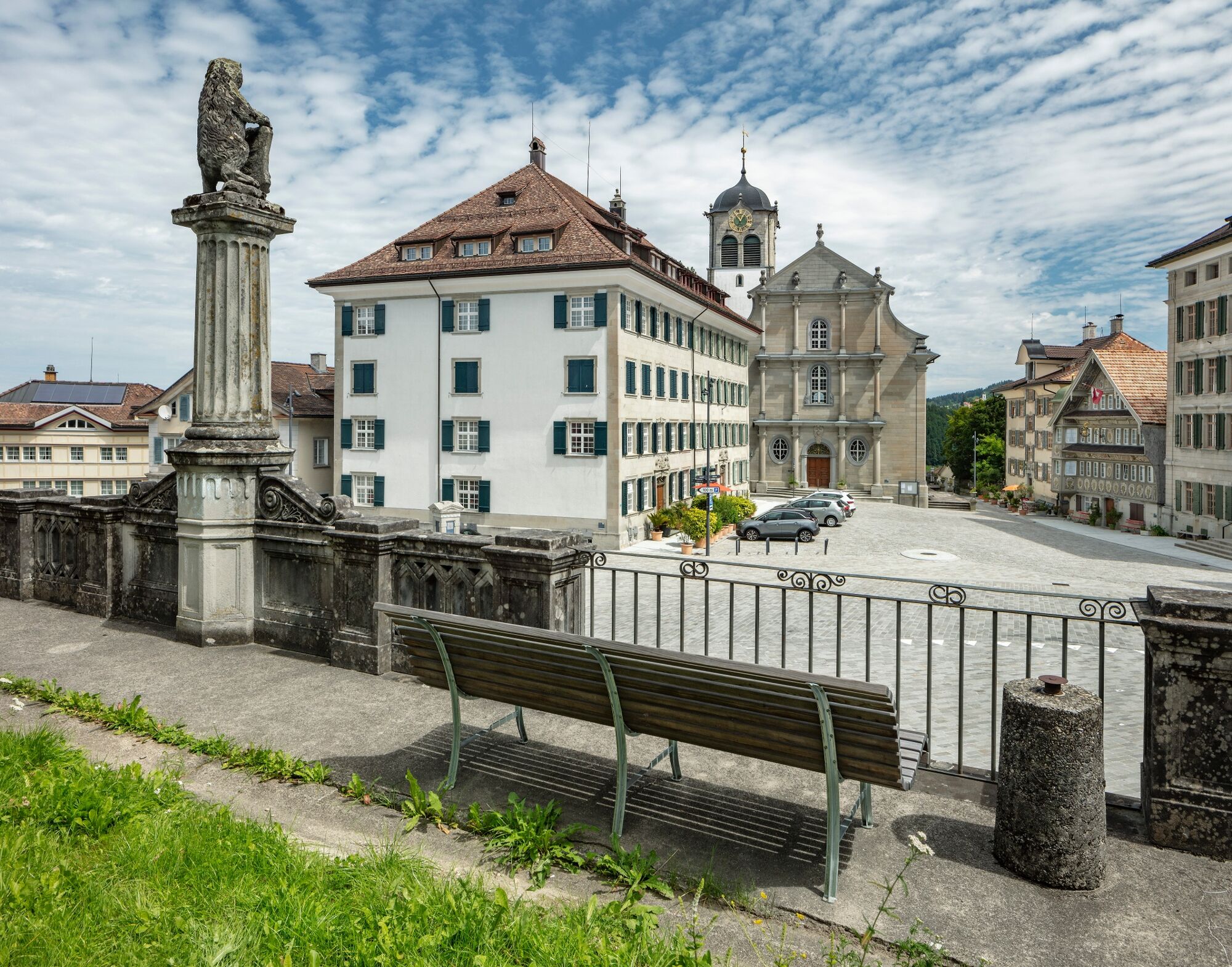
Trogen, Landsgemeindeplatz
- Route
-
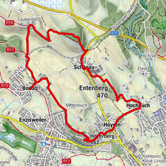
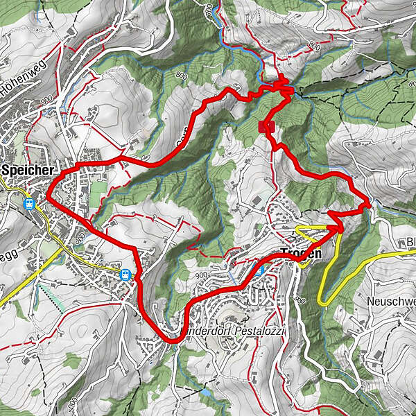
Trogen (903 m)0.1 kmKrone0.1 kmChastenloch2.3 kmSpeicher (924 m)4.4 kmSankt Gallen (675 m)4.6 kmTrogen6.7 kmTrogen (903 m)6.8 kmGasthaus zum Schäfli6.9 km
- Best season
-
JanFebMarAprMayJunJulAugSepOctNovDec
- Description
-
The tour starts in the cultural village of Trogen and leads to the Goldbachtobel ravine. Guests once came from near and far to bathe in the waters of the stream. Where the Säglibach flows into the Goldach in Chastenloch, the municipal boundaries of Trogen, Speicher and Rehetobel meet. Here, wheat from two estates was ground, and wares baked from the flour were served to guests in the old days. There is still a cosy restaurant in this wild and romantic spot where you can get sustenance for the steep climb ahead to Speicher. From there, the hike leads back to Trogen on the culture trail.
- Directions
-
Trogen, Landsgemeindeplatz - Schopfacker - Tobel - Brändli - Chastenloch - Wies - Eggli - Bendlehn - Sägli - Trogen, Landsgemeindeplatz
- Highest point
- 926 m
- Endpoint
-
Trogen, Landsgemeindeplatz
- Height profile
-
 © outdooractive.com
 - Equipment
-
Good footwear, trekking or hiking shoes
- Additional information
- Public transportation
-
by the Appenzeller Bahnen to Trogen.
- Parking
-
Parking is available at the church in Trogen
- Author
-
The tour From Trogen to Chastenloch is used by outdooractive.com provided.


General info
-
St. Gallen - Bodensee
2067
-
St. Gallen und Umgebung
726
-
Trogen
251