
- Brief description
-
Which is your favorite place?
- Difficulty
-
medium
- Rating
-
- Starting point
-
railway station Gais
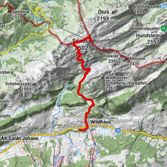
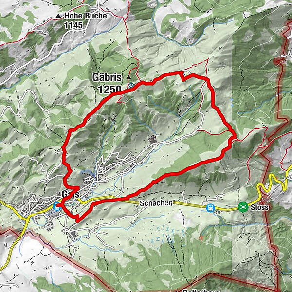
- Route
-
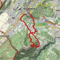
Gais (915 m)Pfarrei St. Michael0.0 kmWirtschaft Sommersberg3.1 kmUnterer Gäbris6.4 kmOberer Gäbris7.0 kmFalken9.9 kmGais (933 m)9.9 kmHotel zur Krone10.0 kmPfarrei St. Michael10.2 kmGais (915 m)10.3 km
- Best season
-
JanFebMarAprMayJunJulAugSepOctNovDec
- Description
-
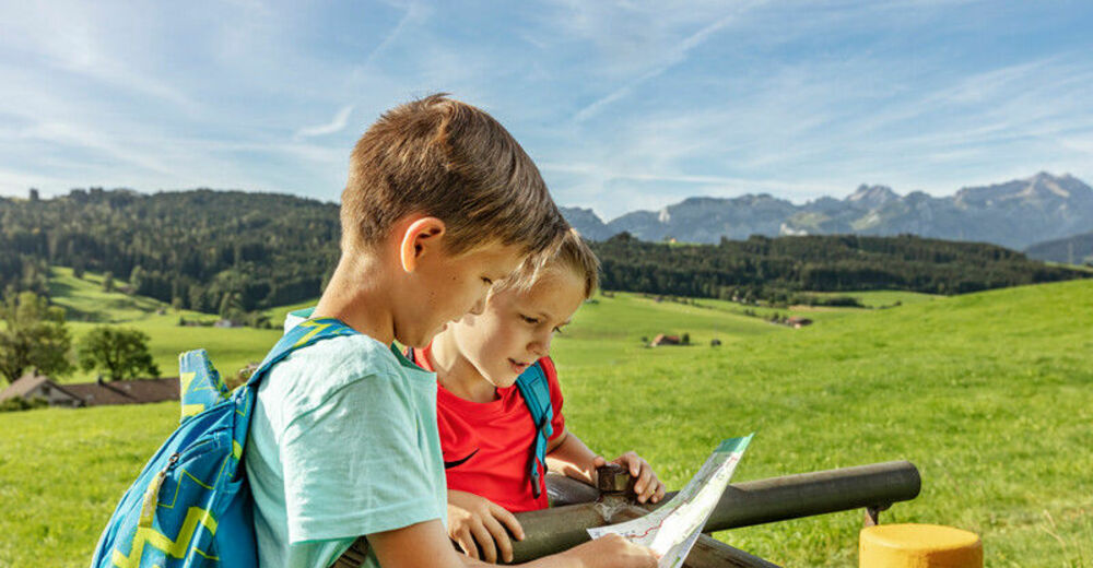
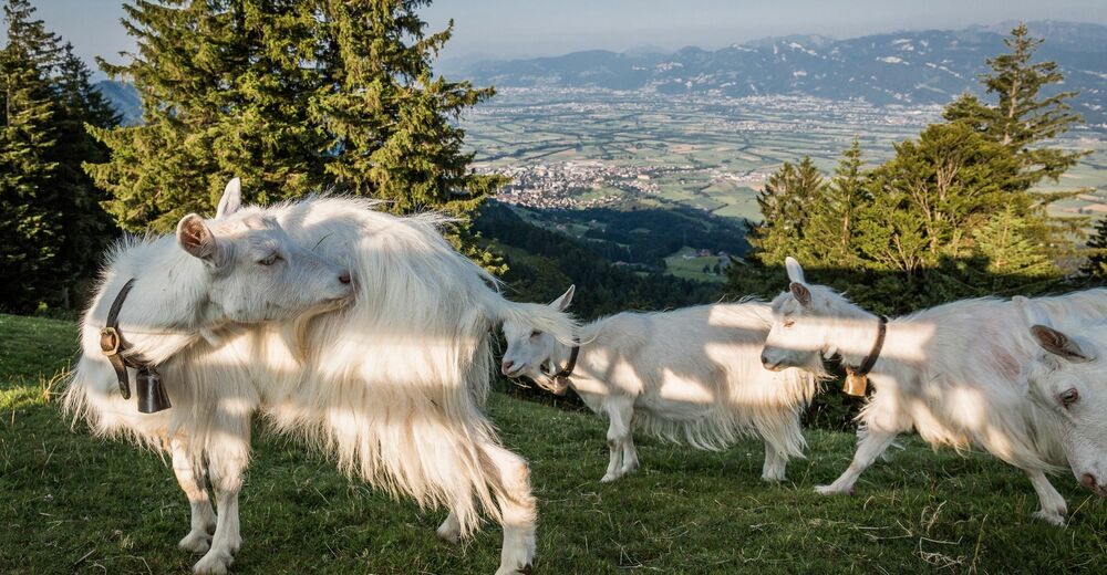
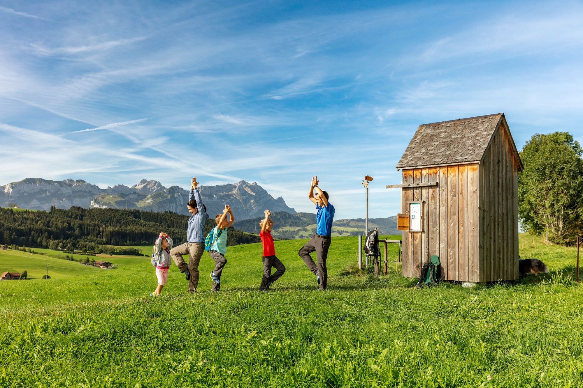
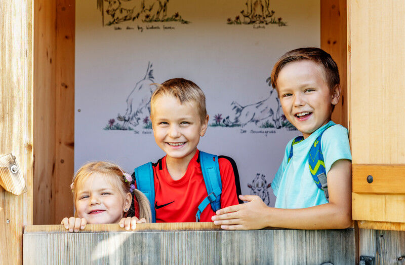
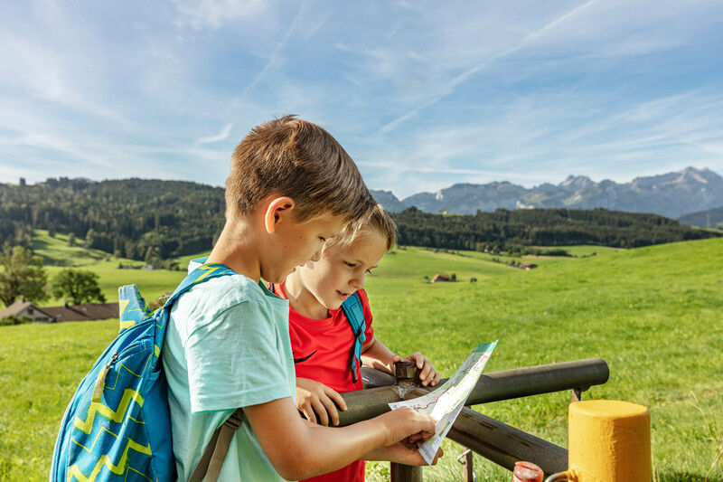
Gais invites you to take part in two very special experiences. The first is the hike up Mount Gäbris, which rewards climbers with wonderful views that make the strenuous ascent worthwhile. Afterward, let Laura, the goat of Gais, will be your guide to the small yet refined attractions of the area, showing you the best spots for both - goat, and human alike. Speaking of attractions, they are everywhere. Do they maybe include the famous Appenzell dish «Chäshörnli mit Geissenkäse»? Join the tour to find out!
- Directions
-
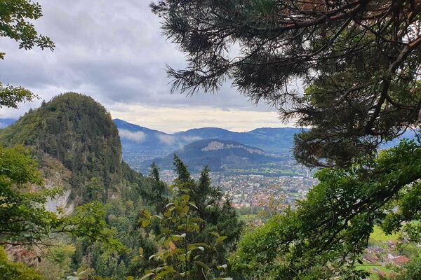
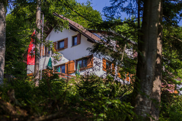
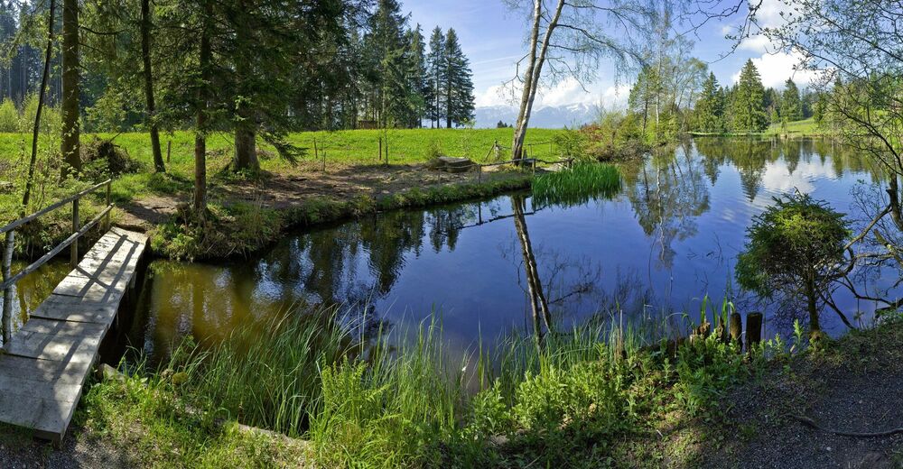
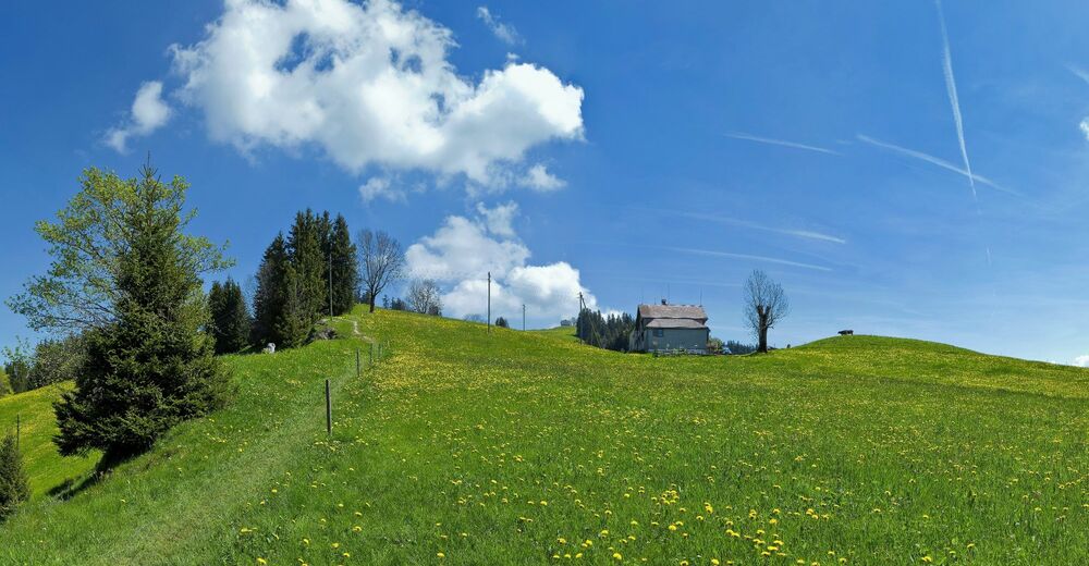
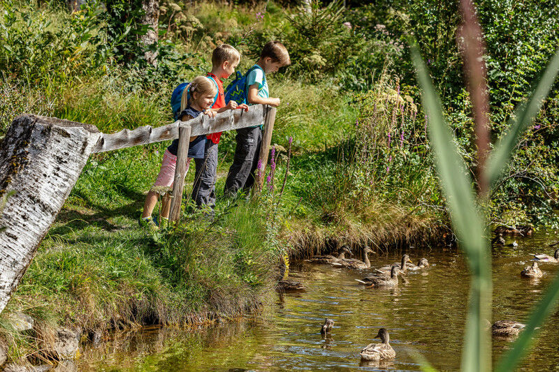
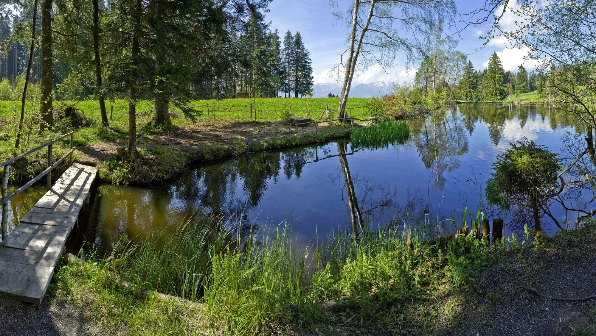
The round trip starts at Gais railway station. The trail first runs through the idyllic village centre of Gais and then takes us past the church in a large right-hand bend. In the following left-hand bend we turn right onto a smaller road and cross the tracks of the Appenzeller Bahnen. At the next junction we turn left again and follow the road to Hebrig, where we cross the tracks and the main road again. At the next junction we take the meadow path up to the Obere Egg, where we cross the crossroads and walk through a forest steeply up to the Sommersberg. Already from here, at 1172 m above sea level, we have a beautiful view over the idyllic hill country and into the St.Gallen Rhine Valley. Also on the Sommersberg the first mountain inn is already on the way and we can recover from the first ascent (currently closed, January 2024). We then follow the road to the Äusserer Sommersberg. In the forest we turn off onto the smaller, right-hand path and cross a beautiful moorland area before we climb up the meadow slope to the Schwäbrig holiday home. Shortly after the small settlement, we come to a road again, which we follow for a short distance and then turn left at the junction in the road. The road leads us up to the Gäbris. On the way we pass the idyllic lake Gäbris, where a fireplace and several benches invite you to take a rest and enjoy the exciting nature observations. The inn Unterer Gäbris is situated a little further up the road and offers a nice playground for kids. On the Gäbris, the highest point of this hike, we can enjoy the great view. The descent is now via Schachen Gäbris and Obergais on the direct route to Gais. The path leads straight on to Obergais. In Obergais we turn left into a small meadow path at the edge of the forest before we reach the road. If you prefer tarred roads, change here to the main road, which bypasses the meadow in a big left turn. Back in Gais, there are several inns around the village square where you can stop for a bite to eat.
- Highest point
- 1,239 m
- Endpoint
-
railway station gais
- Height profile
-
 © outdooractive.com
 - Equipment
-
Comfortable trainers or hiking boots, weather-resistant clothes
- Additional information
-
www.lauraweg.ch
- Directions
-
Coming from St. Gallen on the Teufenerstrasse to Teufen, continue on the main road to Gais
- Public transportation
-
By train from Appenzell or St. Gallen to Gais station
- Parking
-
Parking at gais railway station

- Author
-
The tour Discover Laura's favourite places is used by outdooractive.com provided.


General info
-
St. Gallen - Bodensee
2065
-
Appenzell Ausserrhoden
896
-
Gais
336