- Brief description
-
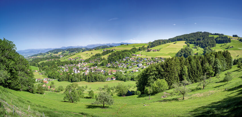
The new suspension bridge in Grub is the main attraction on the hike from Heiden up to Rossbüchel and back via Halten and Hartmannsrüti.
- Difficulty
-
easy
- Rating
-
- Starting point
-
Heiden station
- Route
-
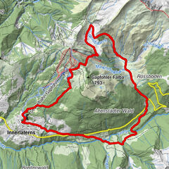
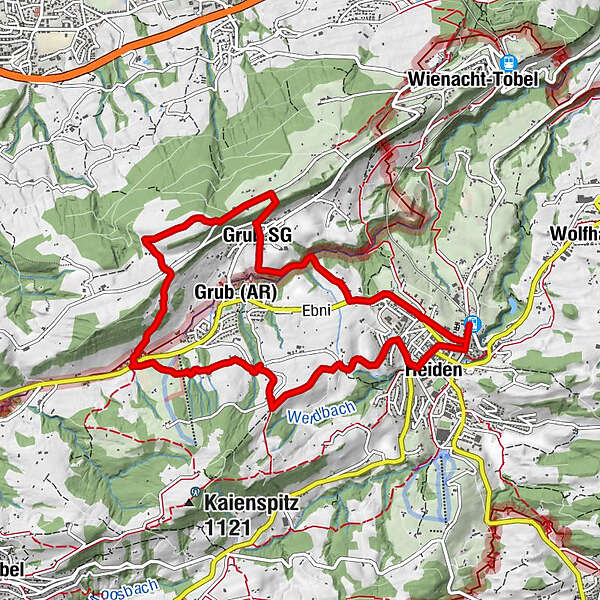
Heiden (794 m)Evangelisch-reformierte Kirche0.1 kmHeiden0.3 kmKatholische Kirche0.8 kmFrauenrüti1.4 kmRahn2.2 kmGrub (AR)2.3 kmKatholische Kirche St. Johannes Baptist Grub2.5 kmGrub SG2.5 kmAltes Schulhaus2.6 kmMaria-Lourdes-Kapelle2.9 kmRossbüchel3.2 kmRossbüchel3.3 kmSpringplatz3.7 kmBüchel4.0 kmAcker4.4 kmSonder4.9 kmRestaurant Bären Grub5.6 kmHartmannsrüti6.6 kmBenzenrüti8.1 kmHeiden9.2 kmHeiden (794 m)9.7 km
- Best season
-
JanFebMarAprMayJunJulAugSepOctNovDec
- Description
-
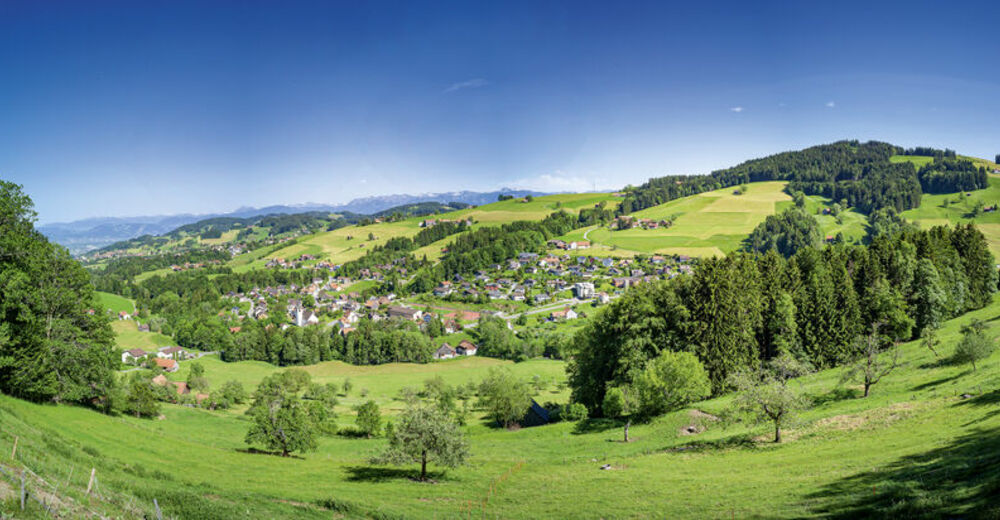
The dramatic views deep into the Mattenbachtobel ravine, but also the beautiful vistas over the hills of the Appenzell Foreland towards Lake Constance and the neighbouring countries, are well worth the journey. In several inns along the way weary walkers can quench their thirst and satisfy their hunger.
- Directions
-
Heiden station – Frauenrüti – suspension bridge – Fünfländerblick (five-country vista) – Halten – Benzrüti – Heiden station
- Highest point
- 964 m
- Endpoint
-
Heiden station
- Height profile
-
 © outdooractive.com
 - Equipment
-
Good footwear, hiking or trekking shoes
- Tips
-
A visit to the Rossbüchel inn, Grub SG.
- Additional information
- Public transportation
-
Take the Appenzell railroads or the post bus to Heiden.
- Parking
-
Pay parking is available at the reformed church in Heiden

- Author
-
The tour Suspension bridge, hills and lake view is used by outdooractive.com provided.


General info
-
St. Gallen - Bodensee
2070
-
St. Gallen und Umgebung
727
-
Grub
195