© NIVEA Wandertour/Randonnées NIVEA - Schweizer Wanderwege / Suisse Rando

- Brief description
-
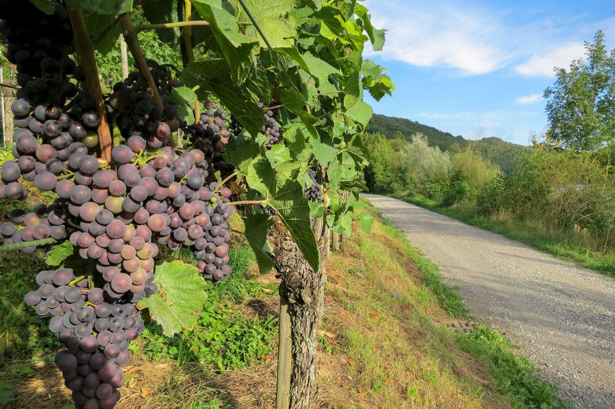
Grüne Hügelwellen bei Eglisau
- Difficulty
-
medium
- Rating
-
- Route
-
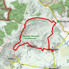
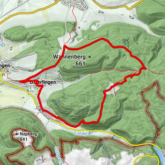
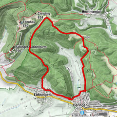
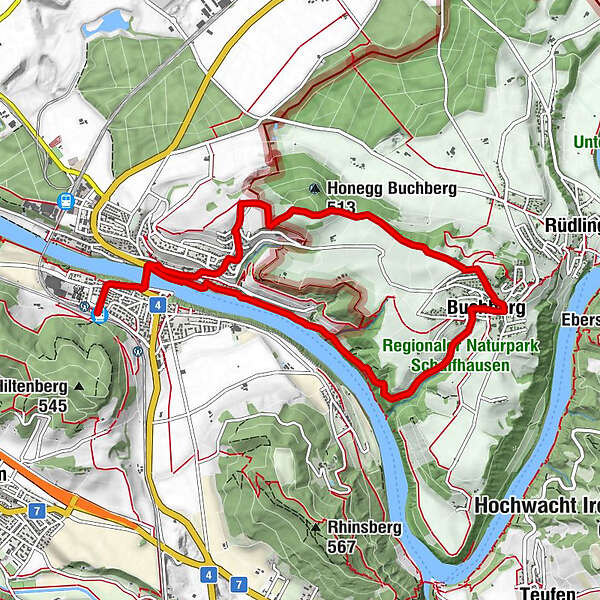
Eglisau (390 m)Restaurant Hotel Bahnhof0.0 kmEglisau0.6 kmKrone0.9 kmMoema Gourmet0.9 kmHirschen1.1 kmReformierte Kirche Eglisau1.1 kmBuchberg (487 m)5.0 kmOberriet7.4 kmReformierte Kirche Eglisau8.7 kmRheinschiffahrten Wirth8.7 kmEglisau bei der Kirche (390 m)8.7 kmHirschen8.7 kmMoema Gourmet8.7 kmKrone8.7 kmEglisau9.2 kmRestaurant Hotel Bahnhof9.8 kmEglisau (390 m)9.8 km
- Best season
-
JanFebMarAprMayJunJulAugSepOctNovDec
- Highest point
- 523 m
- Endpoint
-
Bahnhof von Eglisau
- Height profile
-
 © outdooractive.com
- Author
-
The tour Route Eglisau – Eglisau is used by outdooractive.com provided.
GPS Downloads


General info
Refreshment stop
Other tours in the regions
-
SchaffhauserLand
1027
-
Buchberg-Rüdlingen
569
-
Buchberg
127