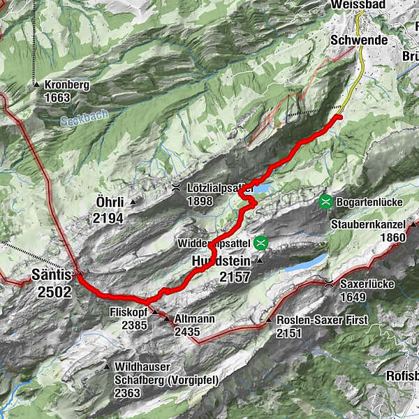
Säntis - Lisengrat – Rotsteinpass – Meglisalp – Seealpsee – Wasserauen

Hiking

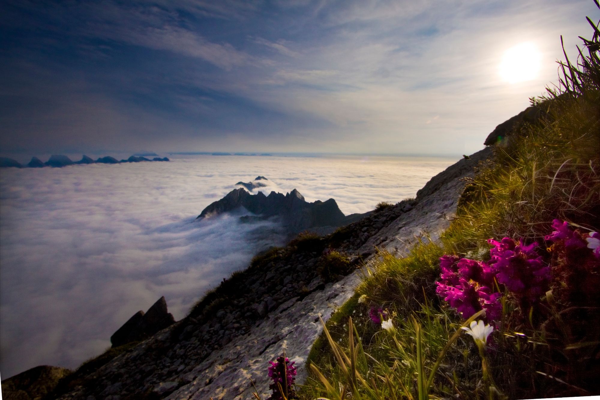
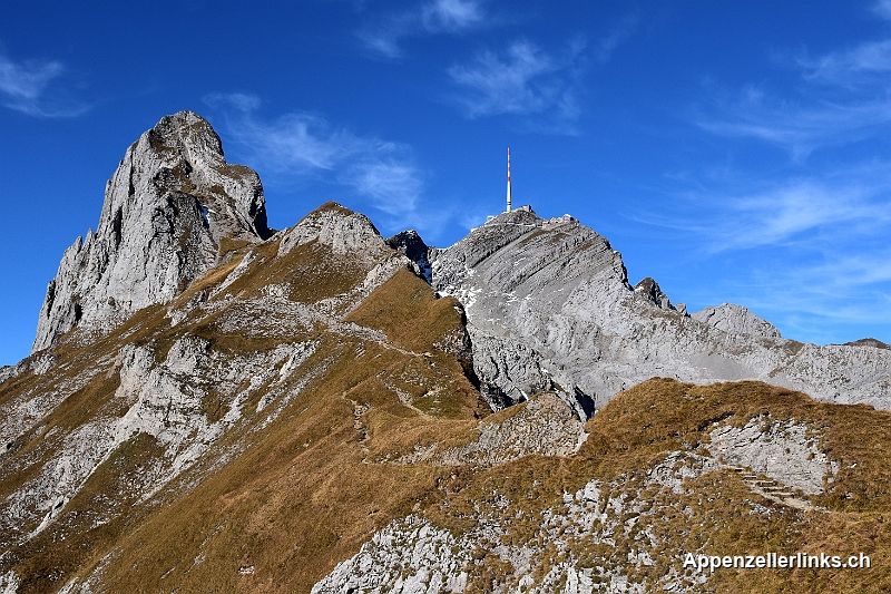
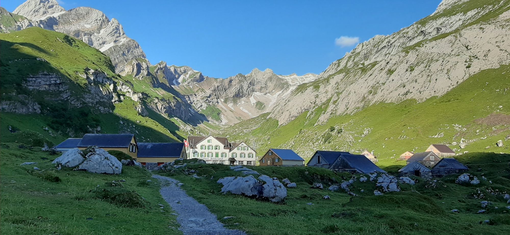
© Appenzellerland Tourismus AR - Säntis Schwebebahn

© Appenzellerland Tourismus AR - Säntis Schwebebahn
© Appenzellerland Tourismus AR - Säntis Schwebebahn
- Brief description
-
Eine anspruchsvolle Wanderung, welche vom Höchsten Punkt im Alpstein nach Wasserauen führt.
- Difficulty
-
medium
- Rating
-
- Route
-
Chalbersäntis0.4 kmWisswand1.0 kmBerggasthaus Rotsteinpass2.1 kmRotsteinpass2.1 kmMeglisalp5.6 kmKreuzböhl6.0 kmSeealpsee8.8 kmSeealpsee8.9 kmGätteri10.2 kmBlüemlisalp (896 m)11.3 kmWasserauen11.8 km
- Best season
-
JanFebMarAprMayJunJulAugSepOctNovDec
- Highest point
- 2,446 m
- Endpoint
-
Wasserauen
- Height profile
-
 © outdooractive.com
- Author
-
The tour Säntis - Lisengrat – Rotsteinpass – Meglisalp – Seealpsee – Wasserauen is used by outdooractive.com provided.
GPS Downloads


General info
Refreshment stop
Fauna
A lot of view
Other tours in the regions
-
Appenzellerland
1955
-
Ebenalp
1093
-
Säntis / Schwägalp
333