


- Brief description
-
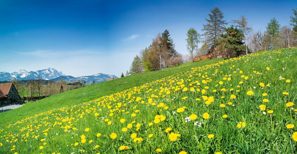
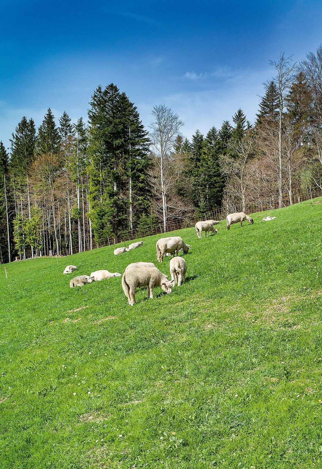
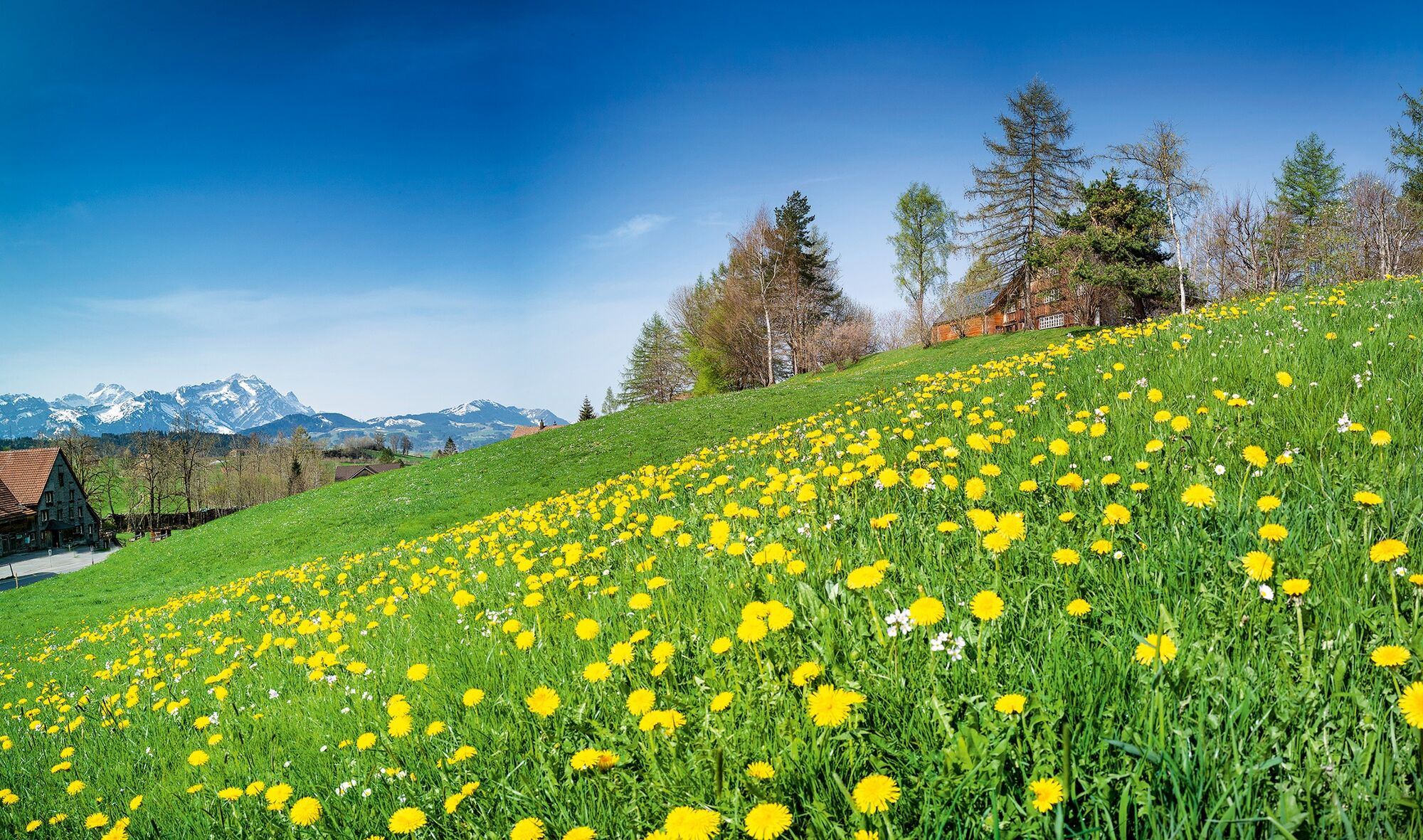
Nature has woken up, showing lush green grass, bright yellow flowers and pale pink buds.
- Difficulty
-
medium
- Rating
-
- Starting point
-
Gais station
- Route
-
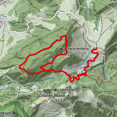
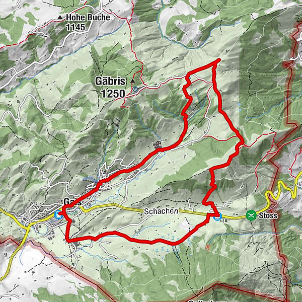
Gais (915 m)Pfarrei St. Michael0.1 kmHotel zur Krone0.2 kmGais (933 m)0.3 kmFalken0.4 kmRestaurant Truube1.0 kmWirtschaft Sommersberg7.0 kmBergli7.5 kmSturmbeiz8.2 kmRietli (945 m)8.2 kmRietli8.3 kmZwislen (914 m)11.2 kmGais (933 m)11.8 km
- Best season
-
JanFebMarAprMayJunJulAugSepOctNovDec
- Description
-
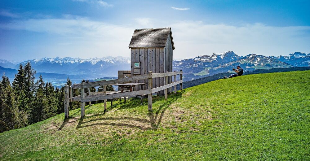
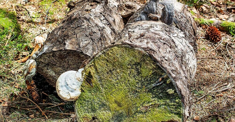
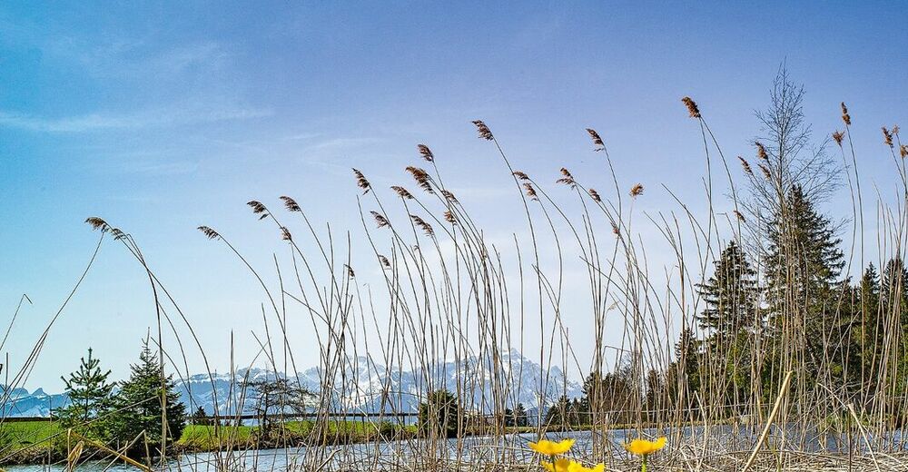
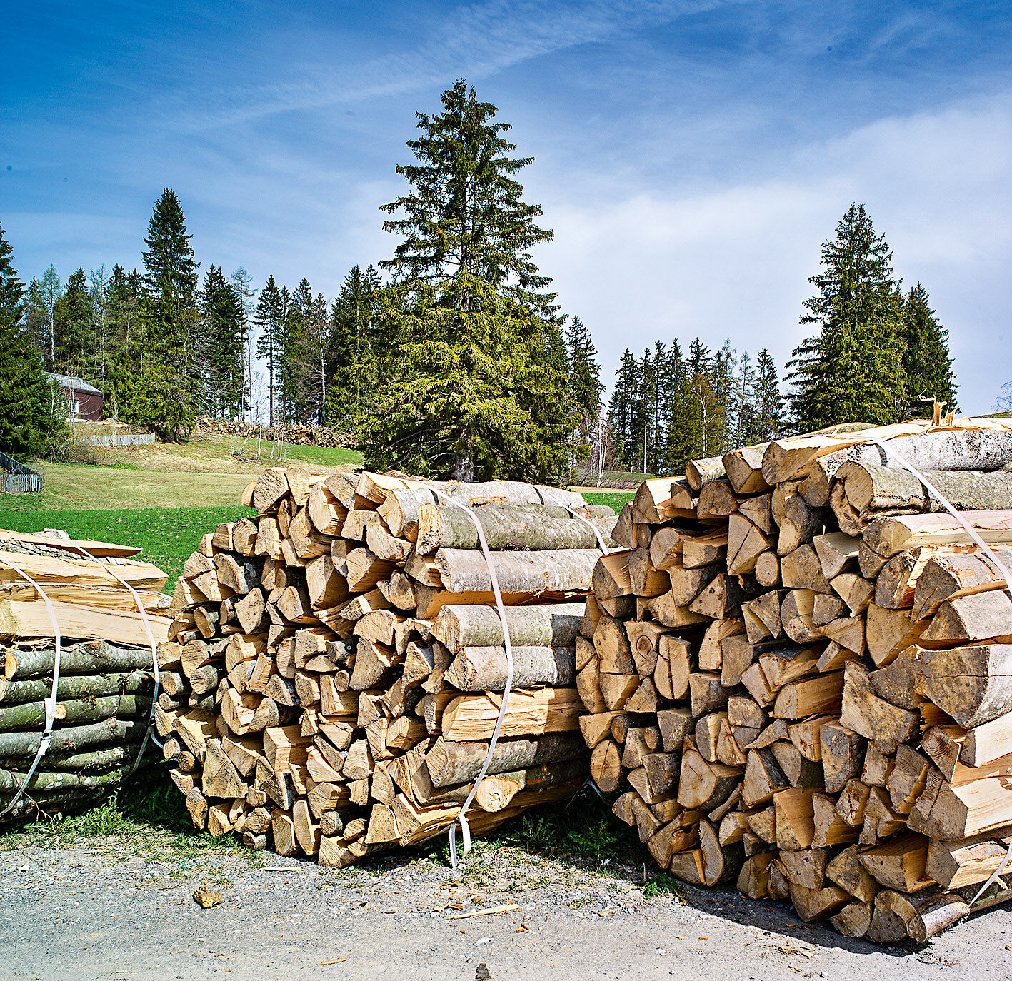
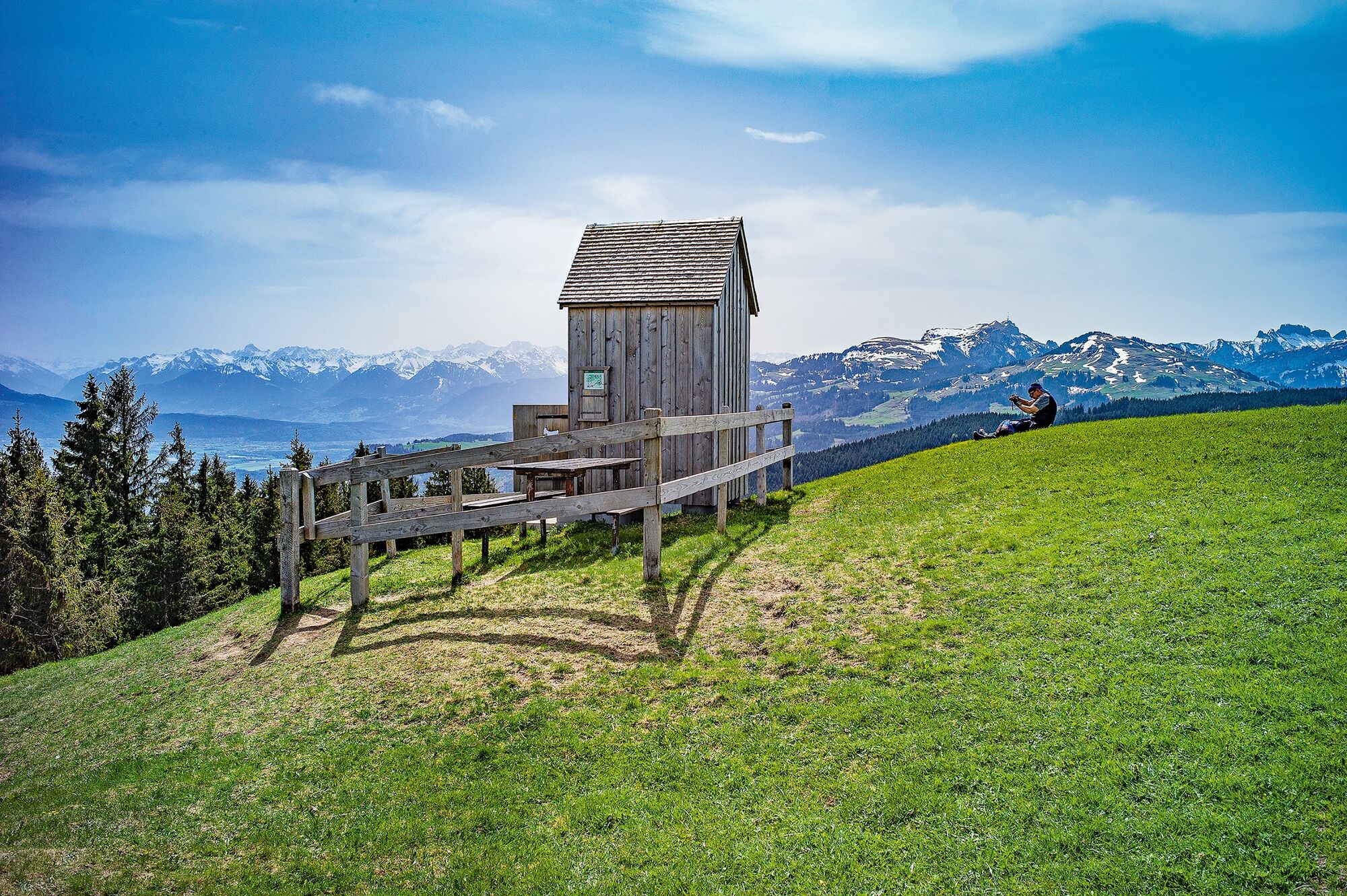
The diverse route takes the hiker east of Gais village across gravel paths, small asphalt roads, rooty forest paths, soft earth and moist reed soil. And the views from the Schwäbrig and Sommersberg mountains are fantastic. They reach from the Alpstein massif in the south via the Rhine Valley and the Vorarlberg region in the east to Lake Constance in the north.
- Directions
-
Gais station - Rotenwies - Gäbrisseeli - Ruhsitz - Sommersberg - Rietli - Gais station
- Highest point
- 1,172 m
- Endpoint
-
Gais station
- Height profile
-
 © outdooractive.com
 - Equipment
-
Good footwear, trekking or hiking shoes
- Tips
-
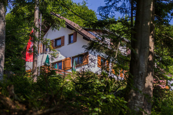
The Sommersberg inn is located between Hirschberg and Gäbris at an altitude of about 1,172 meters above sea level, with a magnificent view of the Rhine Valley and the Alpstein.
- Additional information
- Public transportation
-
With the Appenzeller Bahnen to Gais.
- Parking
-
Parking is available at Gais station.


- Author
-
The tour Overlooking lake, valley and mountains is used by outdooractive.com provided.


General info
-
St. Gallen - Bodensee
2066
-
Appenzell Ausserrhoden
896
-
Gais
335