
- Brief description
-
Hike from Schwägalp to the king of the Alpstein - the Säntis.If you want to go high, choose this hiking route! As the shortest connection between Schwägalp and Säntis, this route requires a steep ascent and hikers who are free from giddiness! Difficult passages are secured with steel ropes. From Stütze 2, the Säntis summit can also be reached via suspension railway.
- Difficulty
-
difficult
- Rating
-
- Starting point
-
Schwägalp, valley station
- Route
-
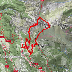
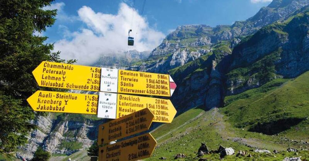
Schwägalp0.0 kmBerggasthaus Tierwies3.0 kmTierwis3.0 kmGirenspitz (2,448 m)4.3 kmTerrassen-Restaurant (2,502 m)4.6 kmSäntis (2,502 m)4.6 km
- Best season
-
JanFebMarAprMayJunJulAugSepOctNovDec
- Description
-
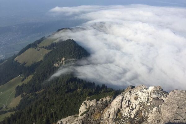
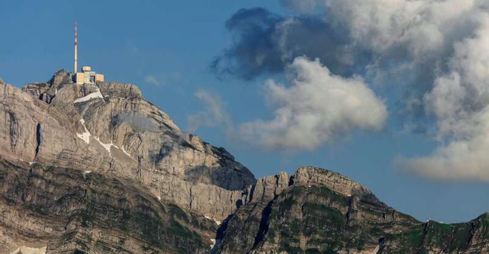
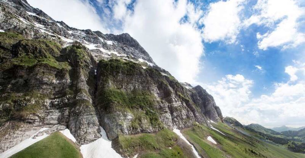
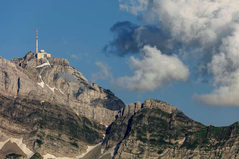
The ascent to the Säntis begins at the Schwägalp valley station. From the Gmeinenwisen, the trail winds steeply up to the Musfallen rock bastion. Afterwards, the trail continues over a wide band of grass and scree, then you hike along a rock face. Via steps and footholds you reach the traditional mountain inn Tierwis. Here hikers who, for example, only set out in the afternoon can stop, enjoy a great sunset and spend the night. In the morning, after breakfast, continue towards the summit. Follow the markings that lead between funnels and crevasses to the foot of the slope below the Girensattel and onto the ridge itself. Pass the blue snow gap and keep to the right. Via the via ferrata called "Himmelsleiter", you reach your destination - the Säntis summit. From here you can take the Säntis cable car back down into the valley to Schwägalp.
- Directions
-
Schwägalp – Gmeinenwisen – Musfallen – Ellbogen – Tierwis – Girensattel – Säntis
- Highest point
- 2,452 m
- Endpoint
-
Säntis
- Height profile
-
 © outdooractive.com
 - Equipment
-
Good footwear, alpine hiking boots
- Safety instructions
-
Important information: Please check the current conditions at the Säntis Schwebebahn before the hike.
This tour up Mount Säntis is suitable only for experienced hikers with a head for heights.
- Tips
-
A visit to the Panorama Restaurant Säntisgipfel
- Additional information
- Directions
-
By train to Nesslau on the Toggenburg side, or Urnäsch on the Appenzell side. The post bus will then take you to Schwägalp. Please note the current timetable: https://www.sbb.ch/de/
Schwägalp is located in eastern Switzerland. Arrival via Nesslau or Urnäsch.
- Well-cleared roads all year round
- from Zurich 1.30h 101km
- from Munich 3.15 h 252km
- Arrival possible without motorway vignette
There are plenty of free parking spaces available on the Schwägalp.
- Public transportation
-
by train to Urnäsch or Nesslau, then by post bus to Schwägalp
- Parking
-
Free parking available at the Säntisbahn valley station.


- Author
-
The tour Schwägalp - Tierwis - Säntis is used by outdooractive.com provided.


General info
-
Appenzellerland
1956
-
Ebenalp
1094
-
Säntis / Schwägalp
333