- Brief description
-
Can keep up with its namesake in Austria!
- Difficulty
-
medium
- Rating
-
- Starting point
-
St. Anton
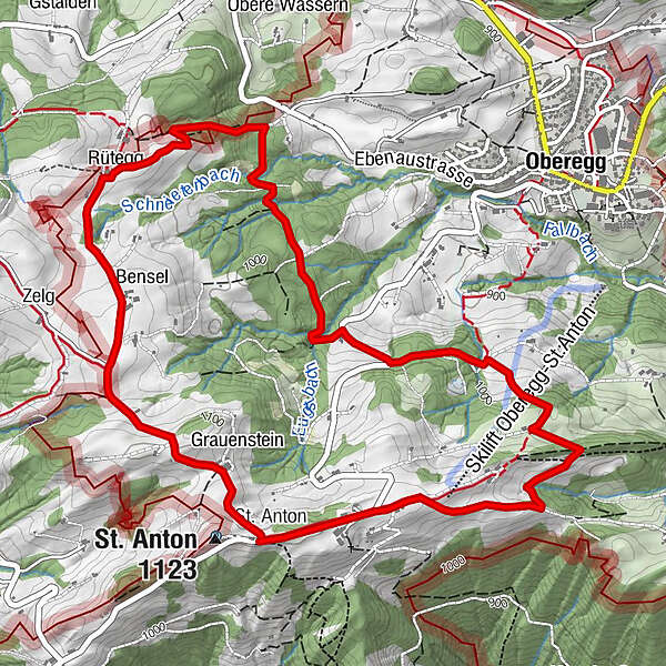
- Route
-
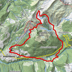
Kapelle St. AntonSt. Anton0.0 kmSt.Anton0.3 kmWirtschaft Rütegg4.8 kmRütegg4.8 kmSt. Anton (1,123 m)6.5 kmKapelle St. Anton6.6 kmSt. Anton6.6 km
- Best season
-
JanFebMarAprMayJunJulAugSepOctNovDec
- Description
-
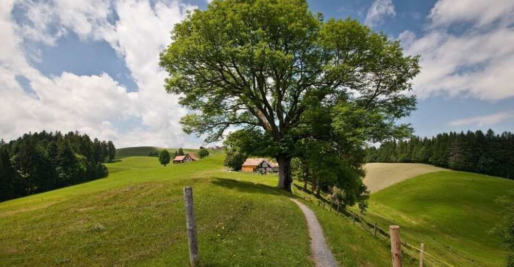
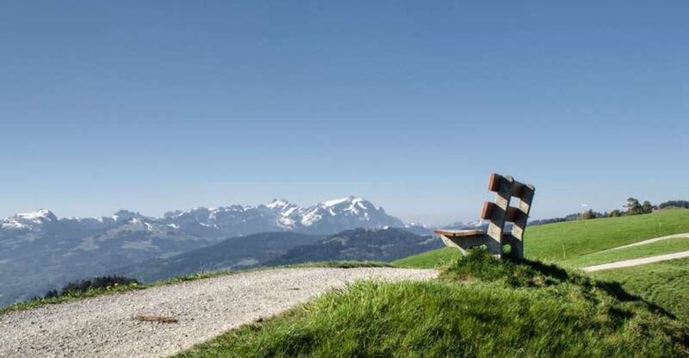
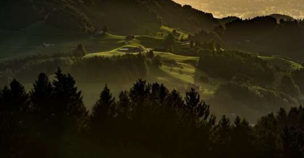
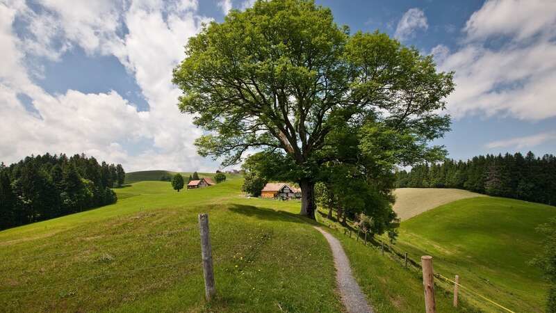
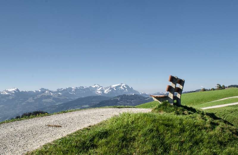
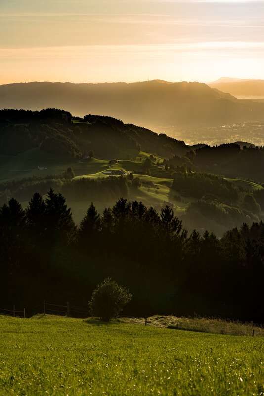
From St. Anton mountain breathtaking vistas open up in all directions. Visitors can look forward to gorgeous views of the St. Gallen Rhine Valley, the Alpstein massif as well as Lake Constance. This popular spot marks the start and end points of some wonderful circular hiking trails. The attractive range of walks and hikes comprises four circular trails (walking time from 30 minutes to 2 hours). The signed trails all take visitors around the pristine natural landscape of St. Anton mountain. Lush green meadows are interspersed with wonderfully fragrant forests. Beautiful vistas across the glistening blue waters of Lake Constance open up time and again.
- Directions
-
St. Anton – Kuser – Bürki – ob. Eugst – Hasenwinkel – Rütegg – Bensel – Büelen – Grauenstein – St. Anton
- Highest point
- 1,108 m
- Endpoint
-
St. Anton
- Height profile
-
 © outdooractive.com
 - Equipment
-
Good footwear, hiking or trekking shoes
- Tips
-
A visit to the coffee shop Kafi Anton. Situated high up on the St. Anton, the Kafi Anton awaits you with a breathtaking view.
- Additional information
- Public transportation
-
visitors can reach the starting point of the circular walks by PostBus from Heiden or Trogen.
- Parking
-
Parking is available on St. Anton mountain.
- Author
-
The tour St. Anton circular trail - long route is used by outdooractive.com provided.


General info
-
St. Gallen - Bodensee
2066
-
St. Galler Rheintal
1333
-
Oberegg
250