- Brief description
-
Not only hares, but also deer or red kites can be observed on this hike!
- Difficulty
-
medium
- Rating
-
- Starting point
-
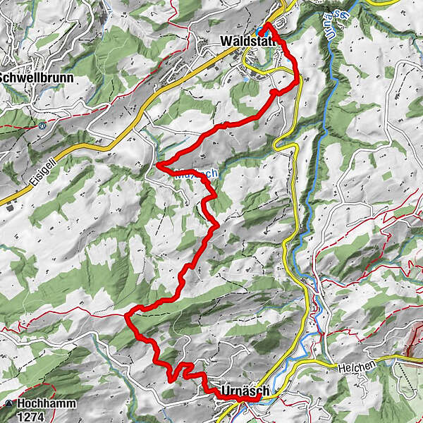
Urnäsch
- Route
-
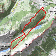
Urnäsch (826 m)0.0 kmUrnäsch0.2 kmOberwaldstatt7.3 kmUnterwaldstatt8.4 kmWaldstatt9.8 km
- Best season
-
JanFebMarAprMayJunJulAugSepOctNovDec
- Description
-
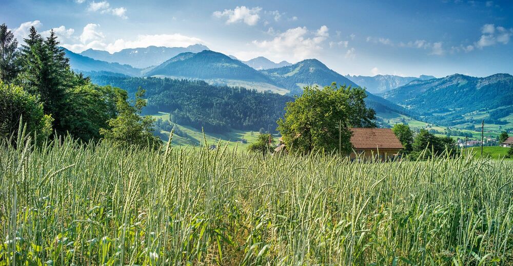
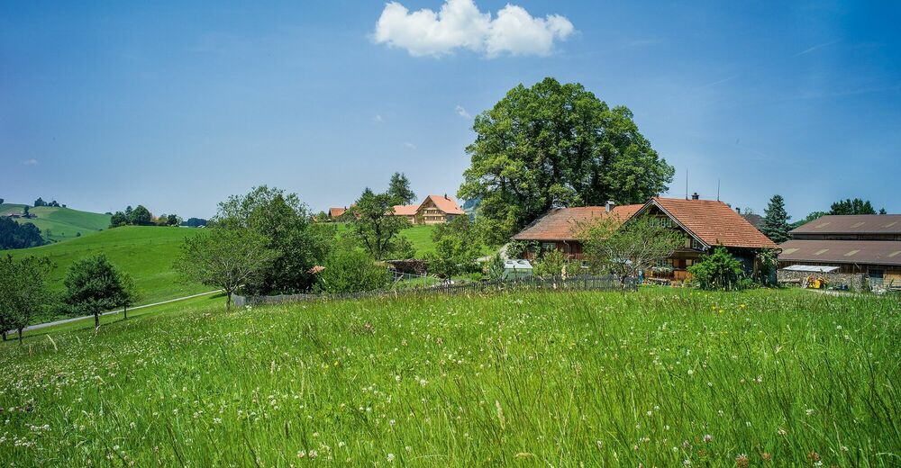
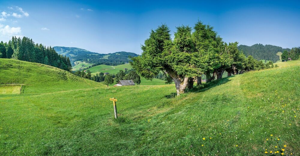
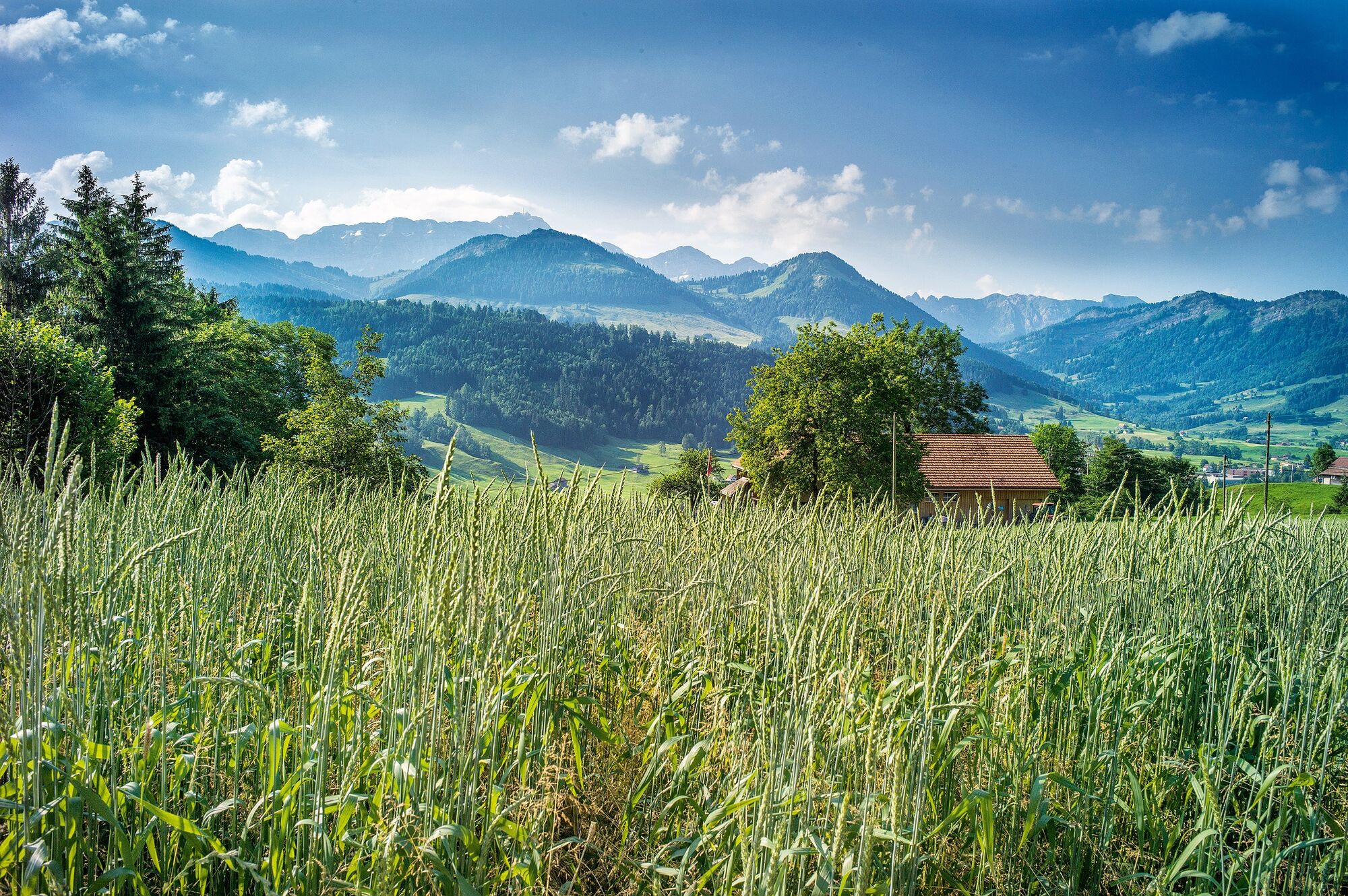
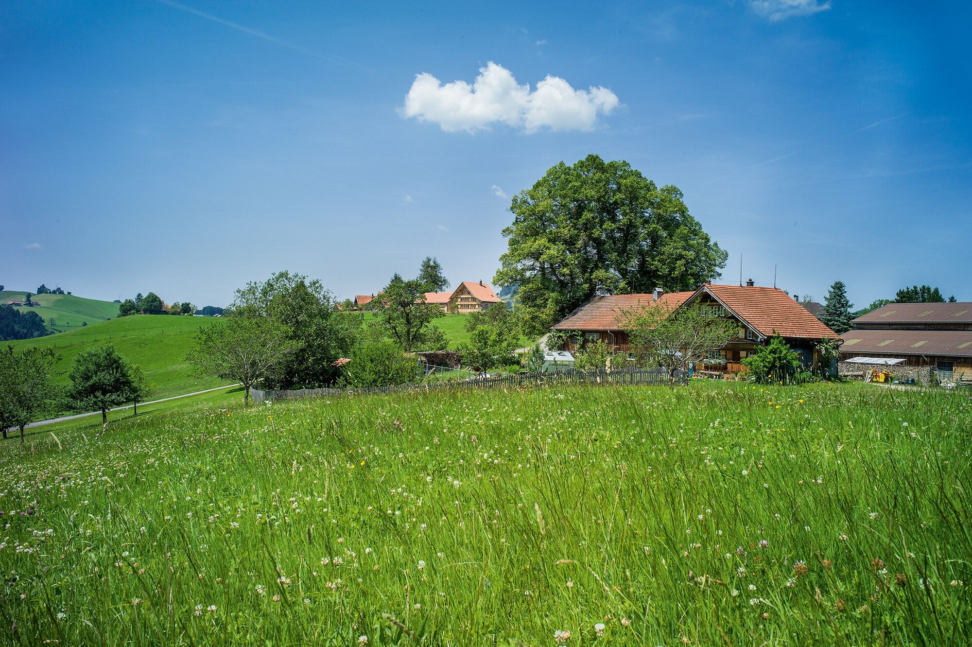
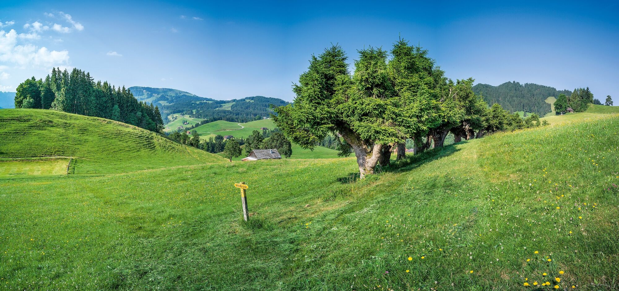
The hike from Urnäsch via Folenweid and Kernenmüli to Waldstatt might not appear very spectacular at first glance. However, people who prefer more secluded trails and have an eye for the beauty of nature will really enjoy this route. A hare may hop across a meadow, deer may graze on the edge of the forest or a red kite may circle above. Jolanda Spengler Text & Bilder
- Directions
-
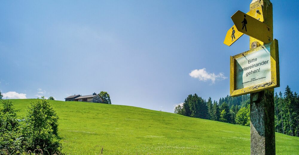
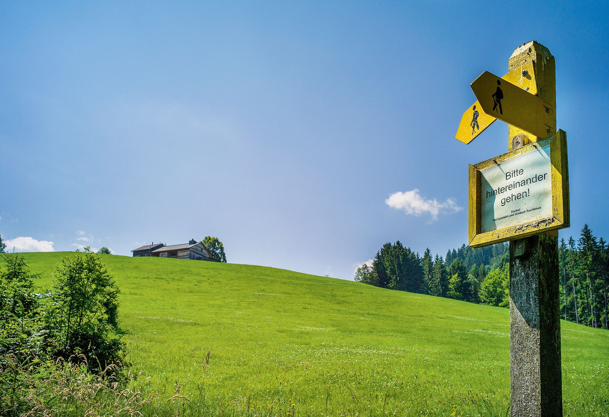
Urnäsch station – Blatten – Mittlere Buechen – Oberbuechen – Folenweid – Wis-West – Nördli – Kernenmüli – Unterwaldstatt – Waldstatt station
- Highest point
- 1,123 m
- Endpoint
-
Waldstatt
- Height profile
-
 © outdooractive.com
 - Equipment
-
Good footwear, hiking or trekking shoes
- Tips
-
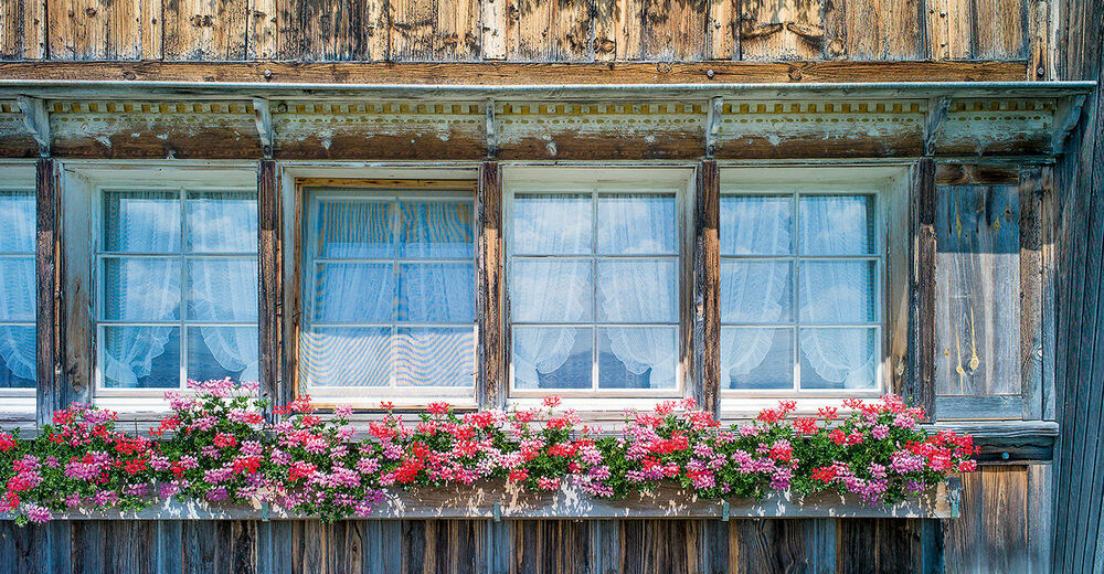
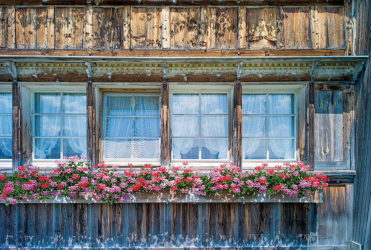
Don't forget your camera! The hike offers wonderful photo opportunities - be it animals, untouched nature or traditional farms.
- Additional information
- Public transportation
-
With the Appenzell railway to Urnäsch (half-hourly service)
- Parking
-
Parking is available at the village square in Urnäsch.
- Author
-
The tour Meadows, forest paths and hares is used by outdooractive.com provided.


General info
-
Appenzellerland
1955
-
Ferienregion Toggenburg
896
-
Urnäsch
291