- Brief description
-
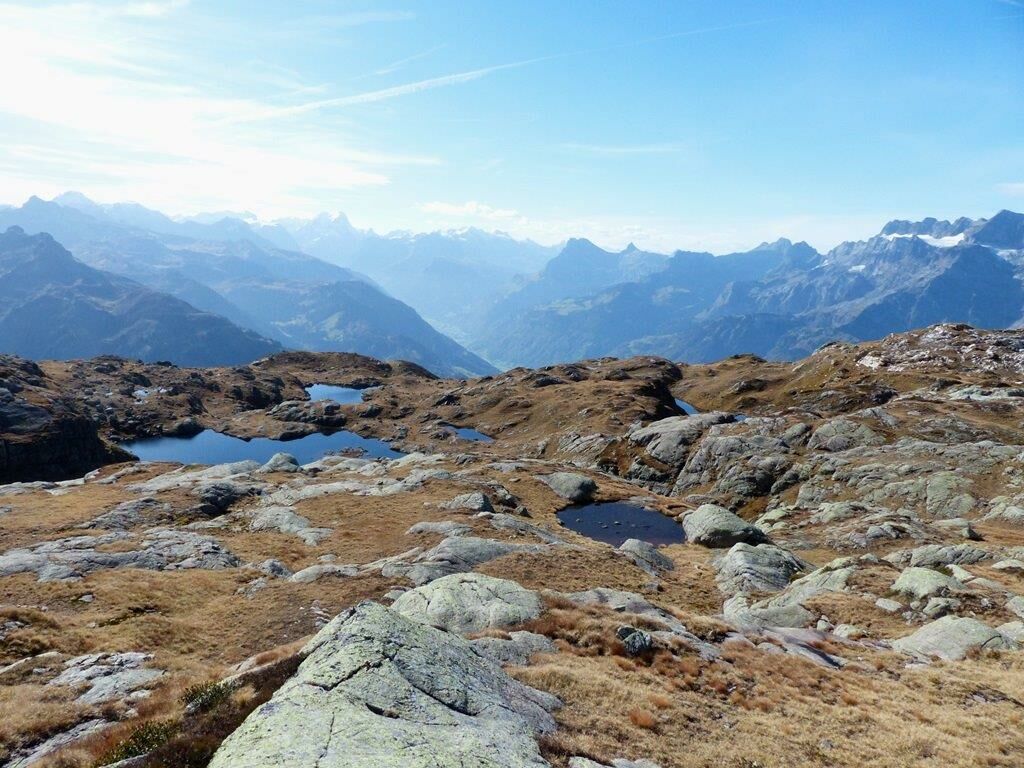
A varied circular route in the middle of the UNESCO World Heritage Site!
- Difficulty
-
medium
- Rating
-
- Route
-
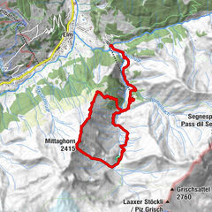
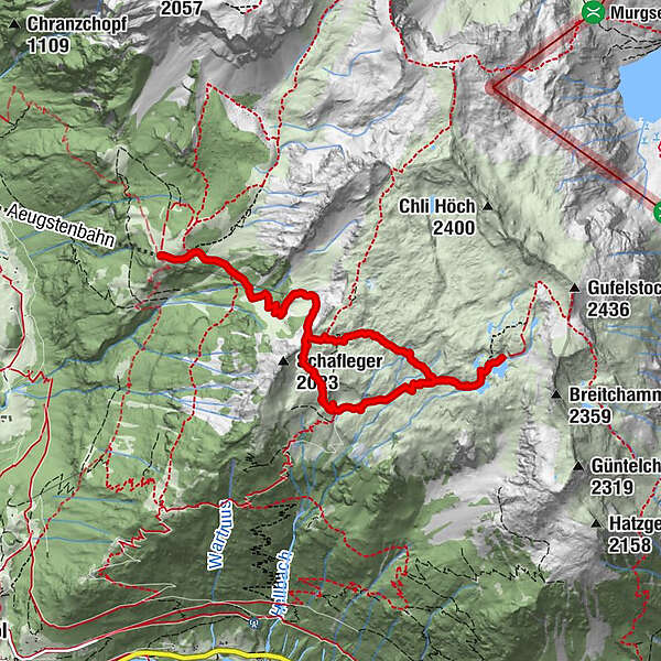
Bärenboden0.1 kmBergrestaurant Aeugsten0.2 kmFessis Oberstafel6.1 kmBergrestaurant Aeugsten8.8 kmBärenboden8.9 km
- Best season
-
JanFebMarAprMayJunJulAugSepOctNovDec
- Description
-
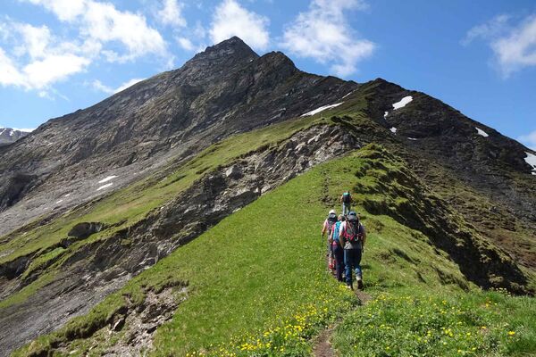
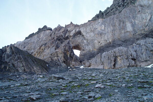
Fantastic hiking routes start on Aeugsten, which include mountain experiences and insights into the Sardona World Heritage Site . The abundance of rocks ensures a great variety of flowers in the Aeugsten area.
The route leads from the Bärenboden to the Schafleger – Fessis Lakes in the Achseli and back to Aeugsten, where you can indulge in regional specialties at the Aeugstenhütte.
Live on the go with the Sardona Aktiv app !
App Store
Google Play
- Highest point
- 2,175 m
- Endpoint
-
Luftseilbahn Ennenda-Bärenboden
- Height profile
-
 © outdooractive.com
 - Equipment
-
Trekking shoes, rain protection, water bottle
- Directions
-
A3 exit Niederurnen, Kantonsstrasse to Ennenda -> see signs at the exit Glarus. We generally ask guests to use the large south car park at Ennenda train station. There are only a few places available at the valley station.
Aeugstenbahn travel registration at 055 640 81 53
- Public transportation
-
SBB station Ennenda. The bus to the cable car station runs from Monday to Saturday excluding Sundays and public holidays. Use the “Gemeindehaus” stop. Attention: Only partial coordination of bus operation with the SBB. Walk to the cable car station max. 10 minutes - the way is well signposted.
Aeugstenbahn travel registration at 055 640 81 53
- Parking
-
Hide translation
Few parking spaces available at the valley station of the Aeugstenbahn
- Author
-
The tour Fessis circuit on Aeugsten is used by outdooractive.com provided.
GPS Downloads


General info
Refreshment stop
A lot of view
Other tours in the regions
-
Glarnerland
1972
-
Glarus Süd
717
-
Engi
160