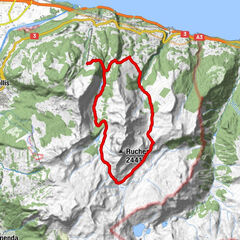
Tour data
5.35km
471
- 578m
155hm
155hm
01:14h

- Brief description
-
Schöne Rundtour, ganzer Weg im Wald, ideal bei heissem Wetter
- Difficulty
-
easy
- Rating
-
- Route
-
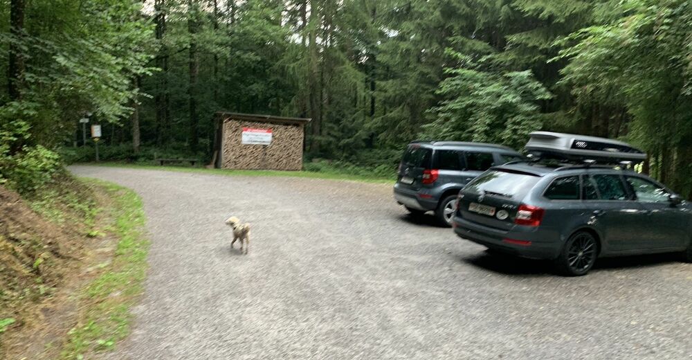
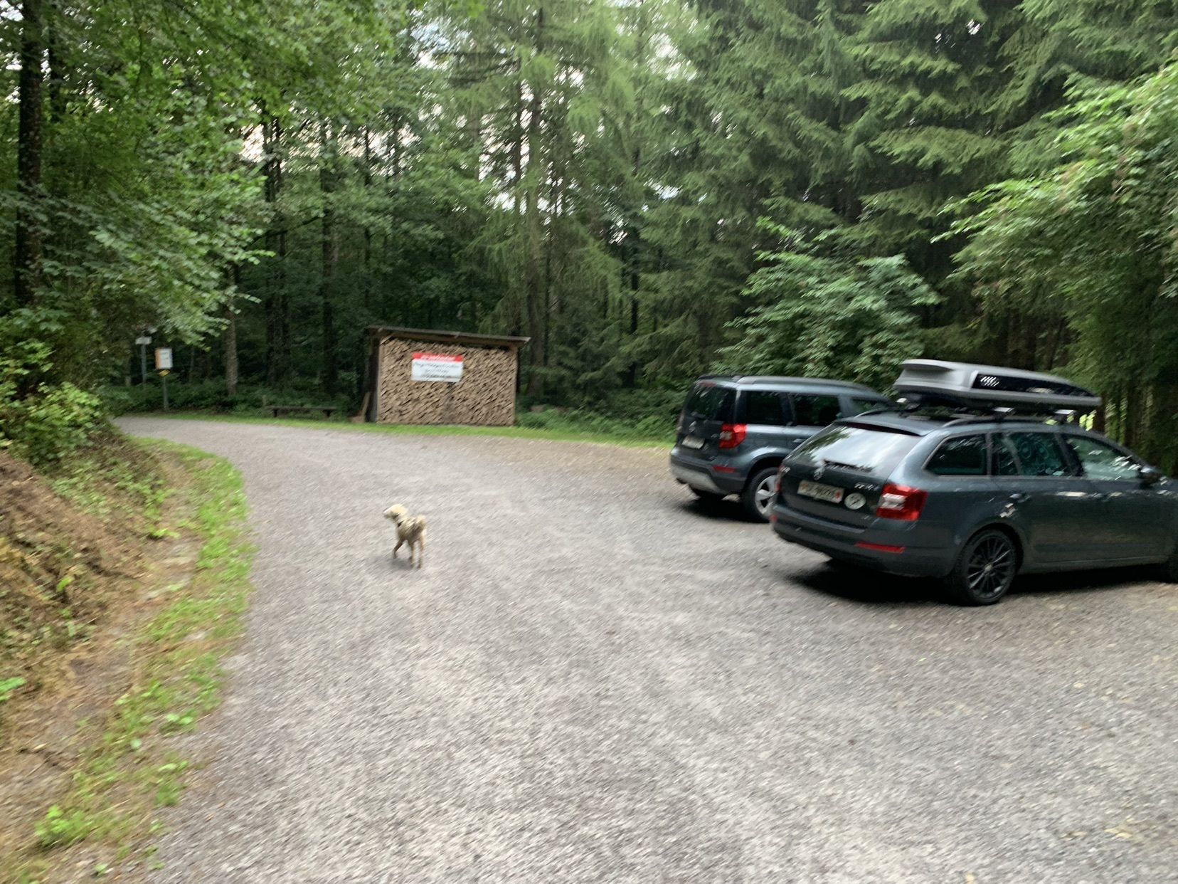
Weiherhaus0.1 kmWeiherhaus5.3 km
- Highest point
- 578 m
GPS Downloads


Other tours in the regions
-
Toggenburg
1771
-
Goldingen - Atzmännig
771
-
Uznach
179