© Maya Rhyner
- Brief description
-
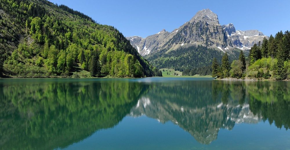
Im kanadaähnlichen Oberseetal führt der familienfreundliche Rundweg bei einzigartiger Aussicht durch die malerische Landschaft durch Fichtenwälder und satte Wiesen.
- Difficulty
-
medium
- Rating
-
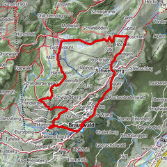
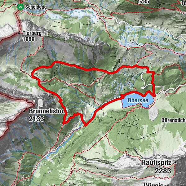
- Route
-
Ällenbodenrai3.3 kmRietboden4.1 kmSöölihals7.6 km
- Highest point
- 1,467 m
- Endpoint
-
Bergrestaurant Obersee
- Height profile
-
 © outdooractive.com

-

-
AuthorThe tour Ahornenrundweg is used by outdooractive.com provided.
GPS Downloads


General info
Refreshment stop
A lot of view
Other tours in the regions
-
Glarnerland
1972
-
Glarus Nord
740
-
Klöntal
159