


- Brief description
-
Inspiring view into the distance
- Difficulty
-
easy
- Rating
-
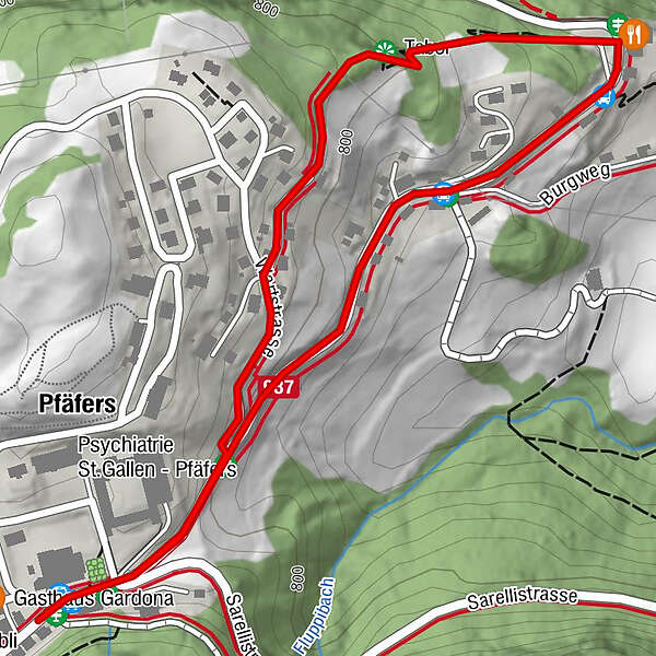
- Route
-
Pfäfers (820 m)0.3 kmTabor0.7 km
- Best season
-
JanFebMarAprMayJunJulAugSepOctNovDec
- Highest point
- 818 m
- Endpoint
-
Pfäfers, Klinik
- Height profile
-
 © outdooractive.com
-

-
AuthorThe tour Viewpoint Tabor is used by outdooractive.com provided.
GPS Downloads


General info
Refreshment stop
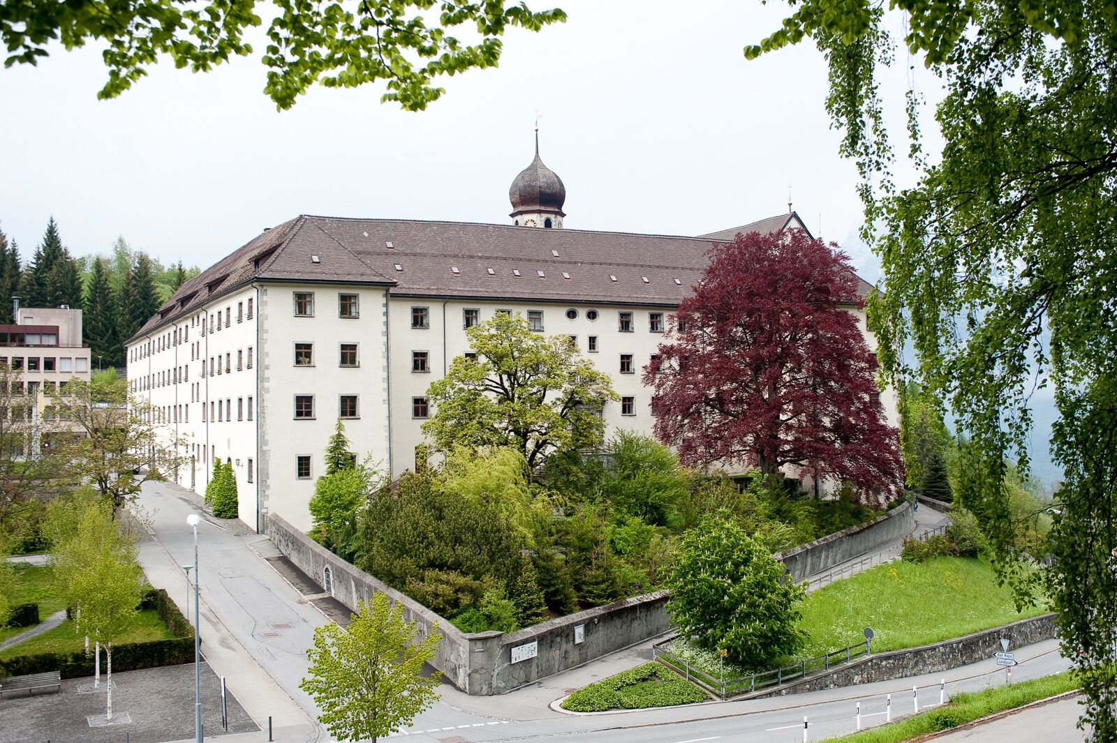
Cultural/Historical
A lot of view


