- Brief description
-
50 panels provide information about the names of trees and shrubs in German and Latin, whether they are useful or medicinal plants and which animals live on these plants.
- Difficulty
-
medium
- Rating
-
- Starting point
-
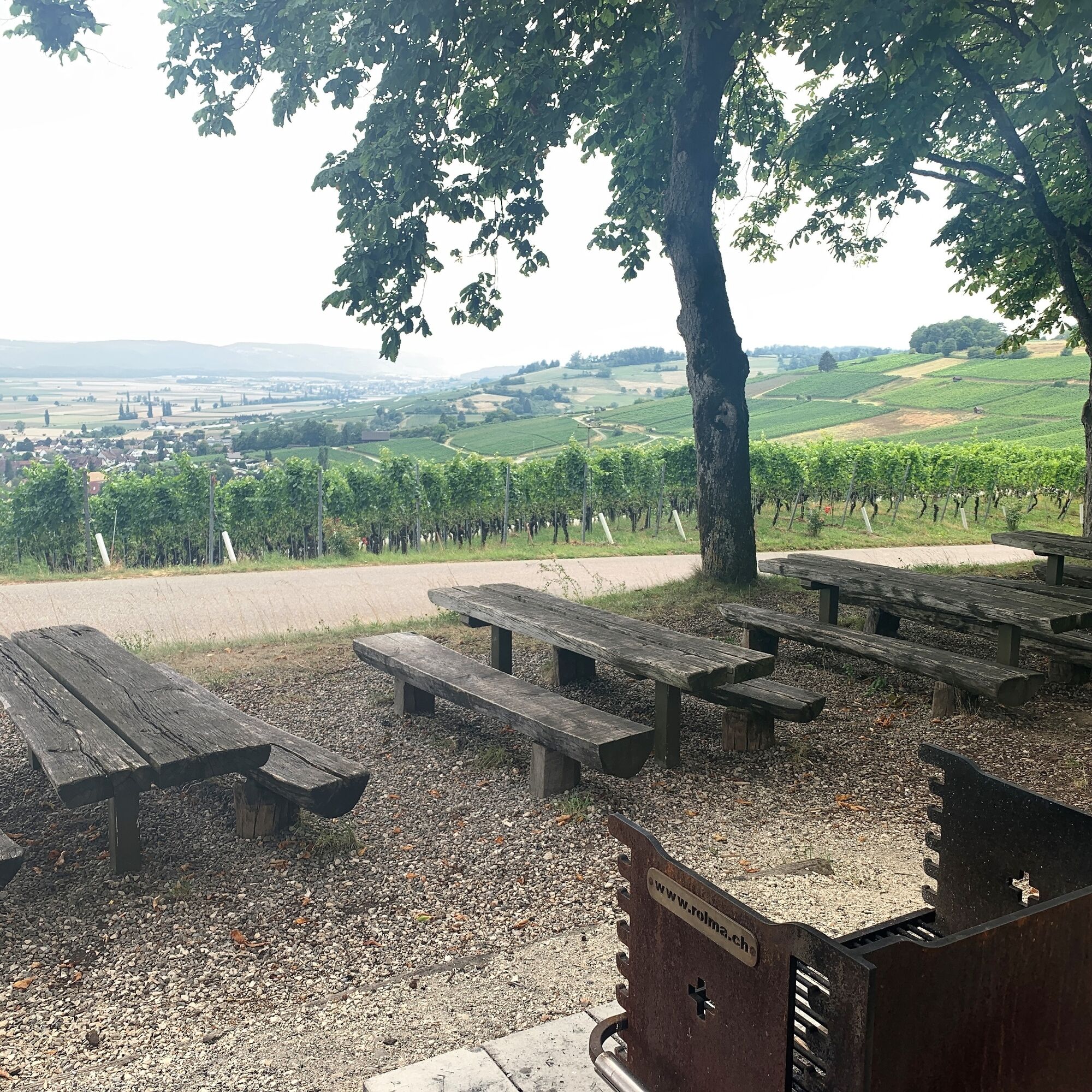
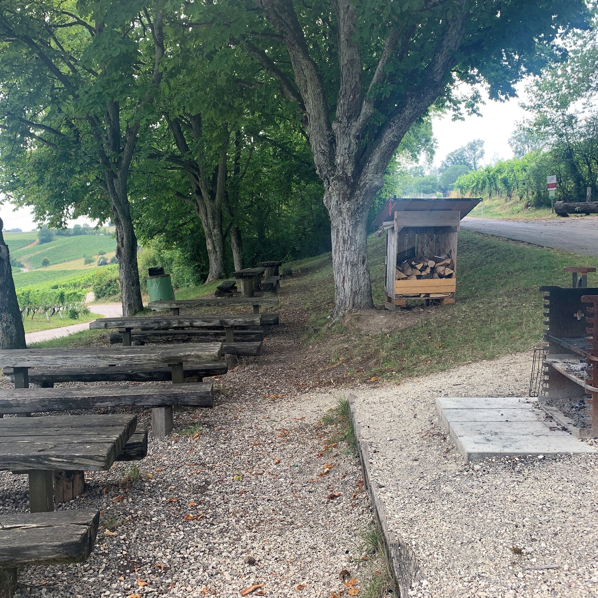
"Table and bench" rest area above the Hallau mountain church
- Best season
-
JanFebMarAprMayJunJulAugSepOctNovDec
- Description
-
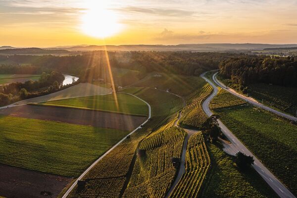
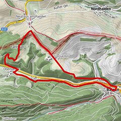
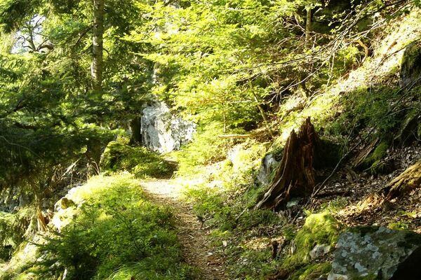
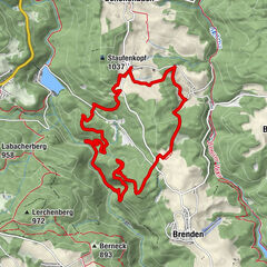
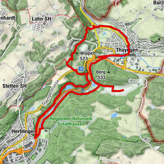
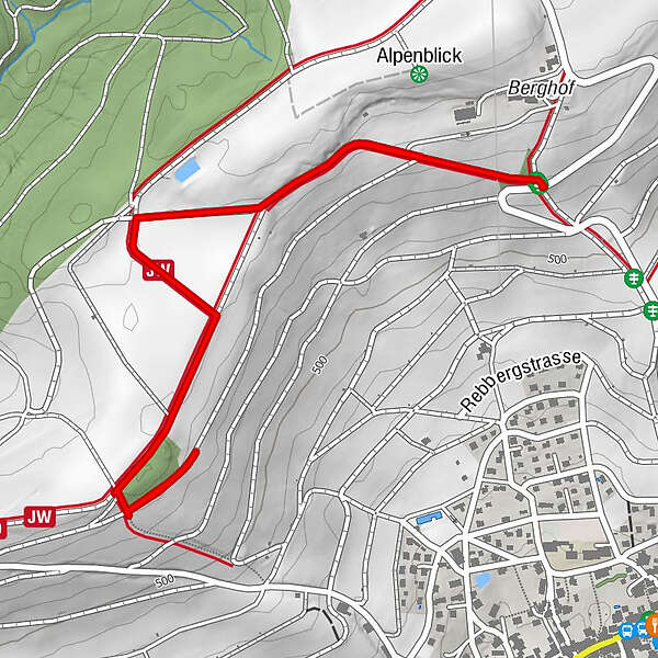
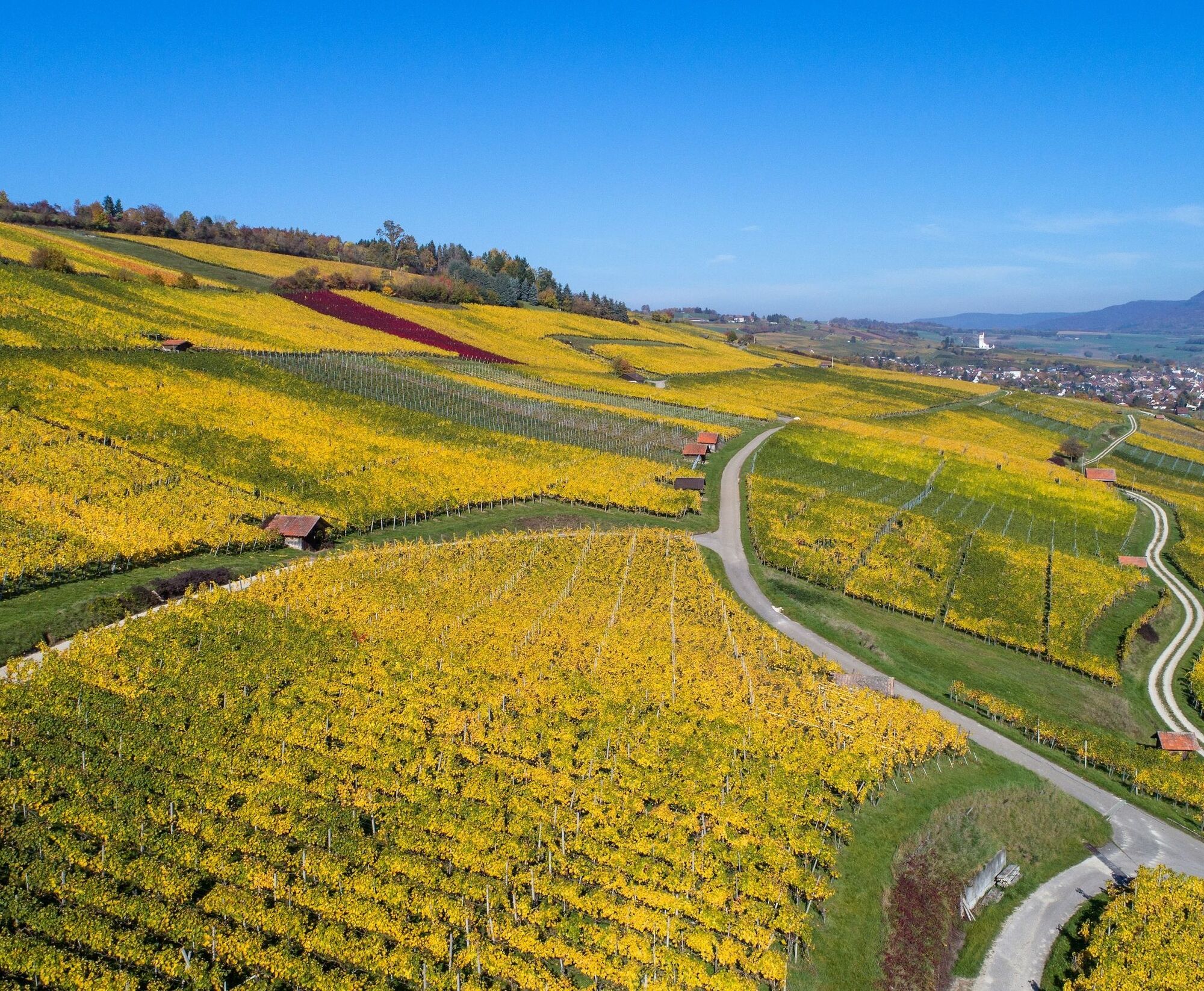
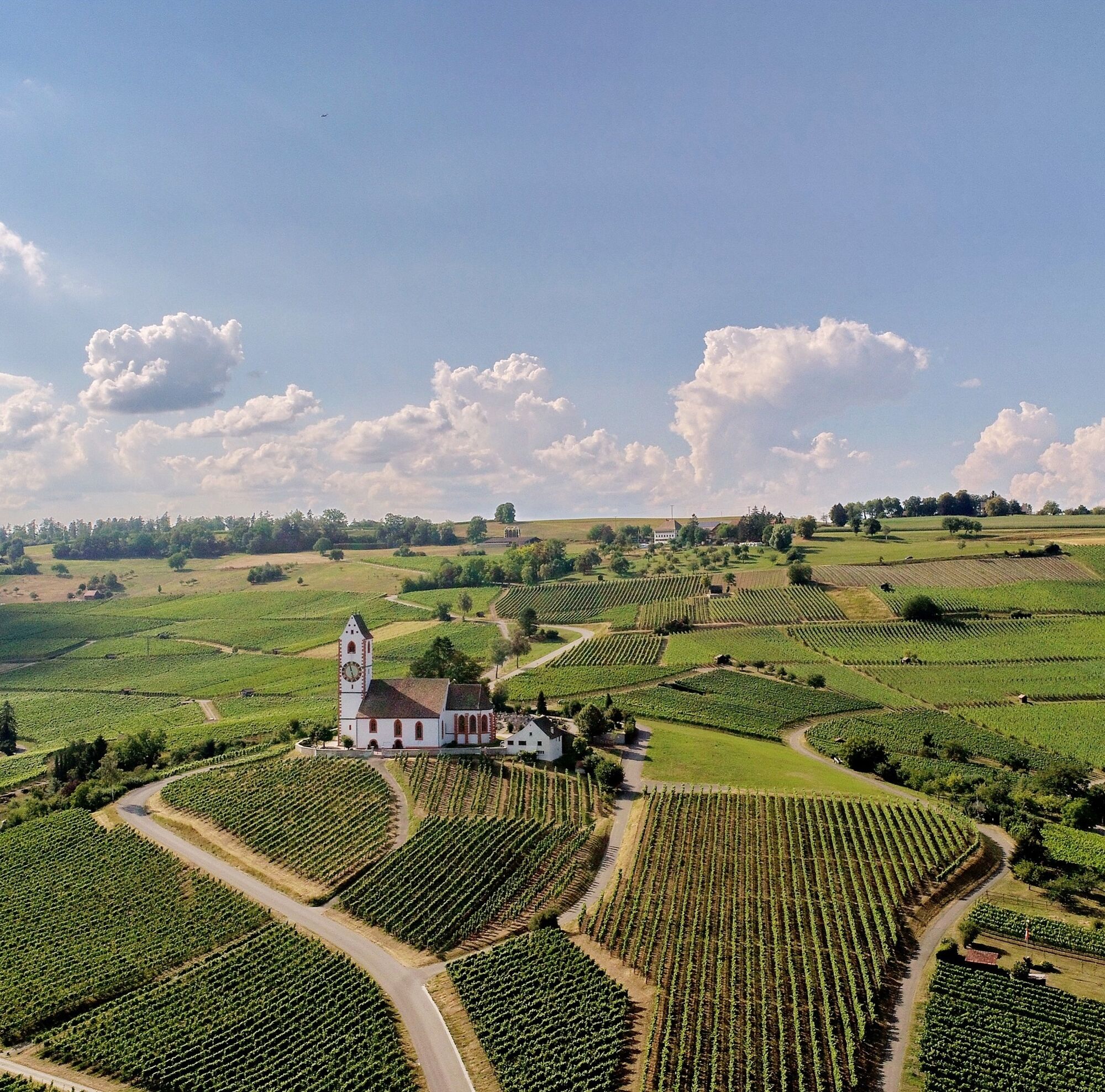
The easy, instructive high-level trail begins at the "Tisch + Bänk" rest area with its shady chestnut trees and leads 2.6 kilometres in a westerly direction to the "Teissen". Along the way, there is a marvellous view of the magnificent Klettgau and the surrounding villages. On a clear day, the entire Alpine panorama from the Austrian to the Bernese Alps can be seen.
- Directions
-
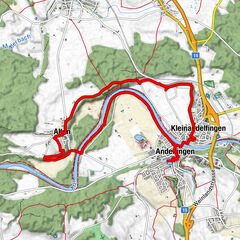
The nature trail starts at the "Tisch und Bänk" rest area. It does not lead in the direction of Hallauerberg but in the opposite direction through the vineyard.
- Highest point
- 563 m
- Endpoint
-
"Table and bench" rest area above the Hallau mountain church
- Height profile
-
 © outdooractive.com
 - Equipment
-
Comfortable shoes, drinks and snacks for in between.
- Tips
-
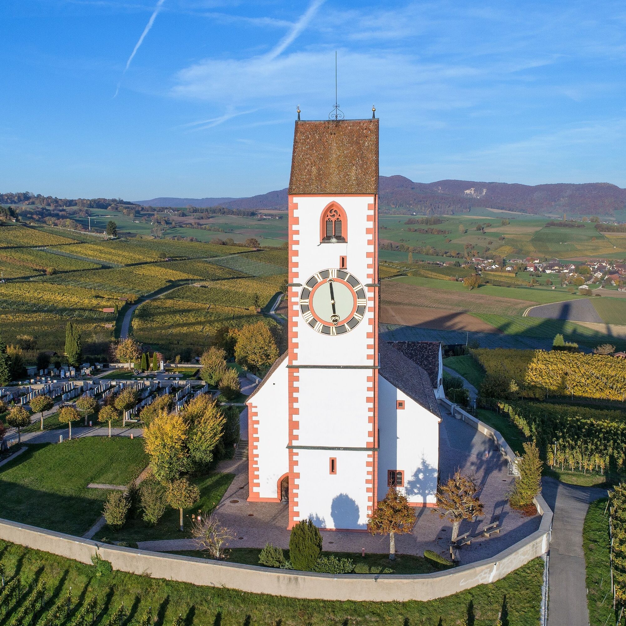
Bergkirche St. Moritz, Hallau (not directly on the route)
- Additional information
- Directions
- Public transportation
-
Train and bus bring connoisseurs, wine lovers, hikers and commuters comfortably and safely to Hallau - every half hour and every quarter of an hour from Schaffhausen and in the opposite direction during peak times.
The starting point is about 30 minutes' walk from the bus stop.
- Parking
-
Car parking available at the "Tisch und Bänk" rest area above the Hallau mountain church.
- Author
-
The tour Hallau nature trail is used by outdooractive.com provided.


General info
-
SchaffhauserLand
1027
-
Klettgau
631
-
Hallau
157