- Brief description
-
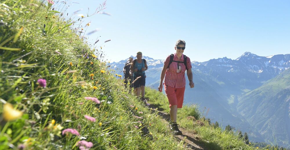
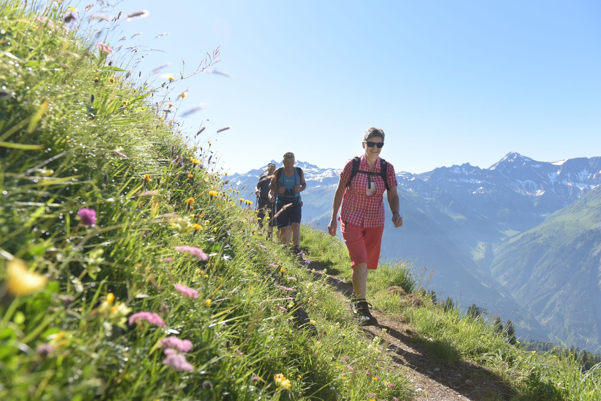
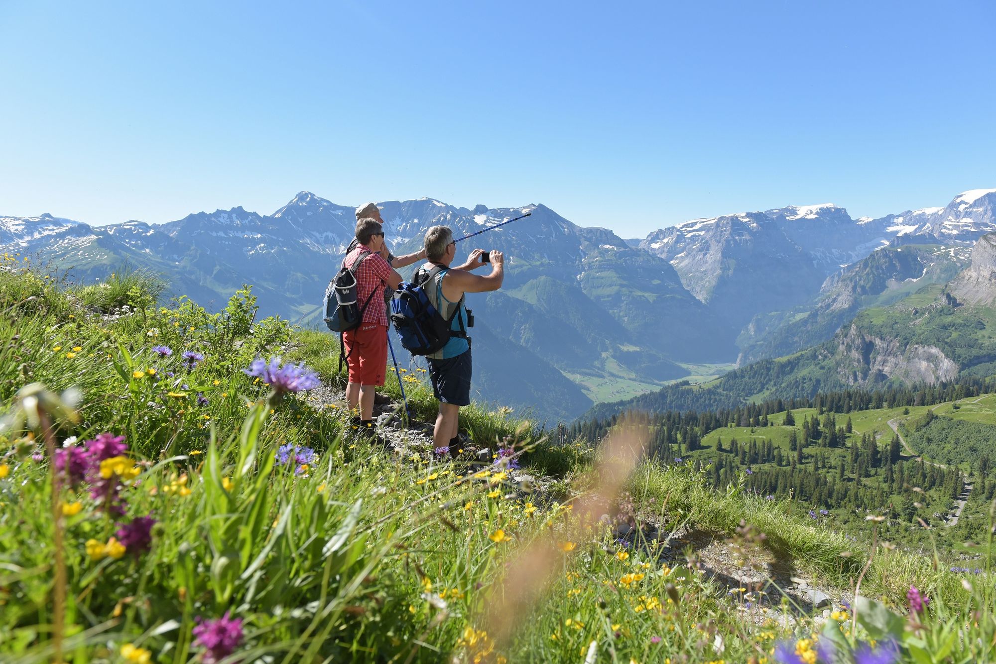
An unforgettable hiking experience: A panoramic circular hike with the most beautiful view of the Glarus Alps.
- Difficulty
-
easy
- Rating
-
- Starting point
-
Chämistube Bergrestaurant at Grotzenbüel
- Route
-
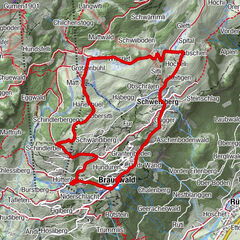
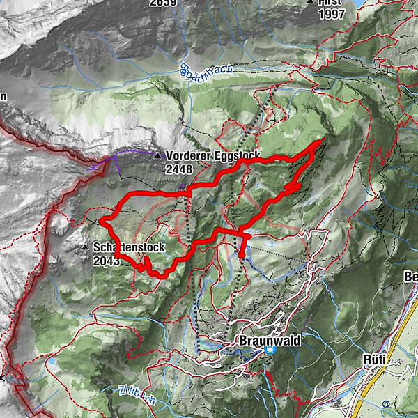
Chämistube0.0 kmGrotzenbühl0.1 kmRindenhüttli0.3 kmSeeblenstutz0.8 kmGumen (1,901 m)4.5 kmBerggasthaus Gumen4.5 kmOrtstockhaus6.6 kmChängelblanggen7.3 kmChüewald7.7 kmEdelsteinspalte7.9 kmWissbergwald8.3 kmRindenhüttli8.7 kmGrotzenbühl9.0 kmChämistube9.1 km
- Best season
-
JanFebMarAprMayJunJulAugSepOctNovDec
- Description
-
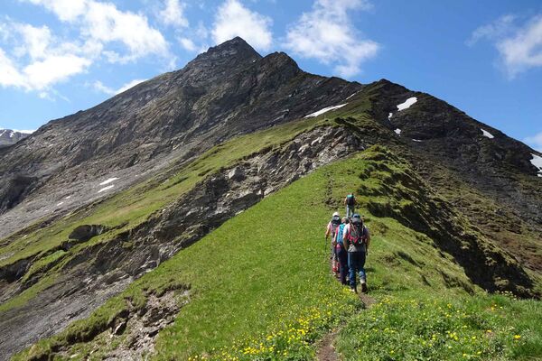
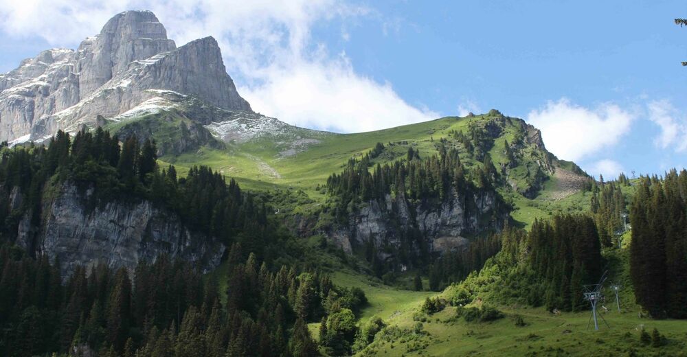
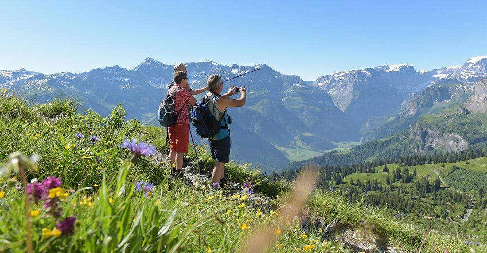
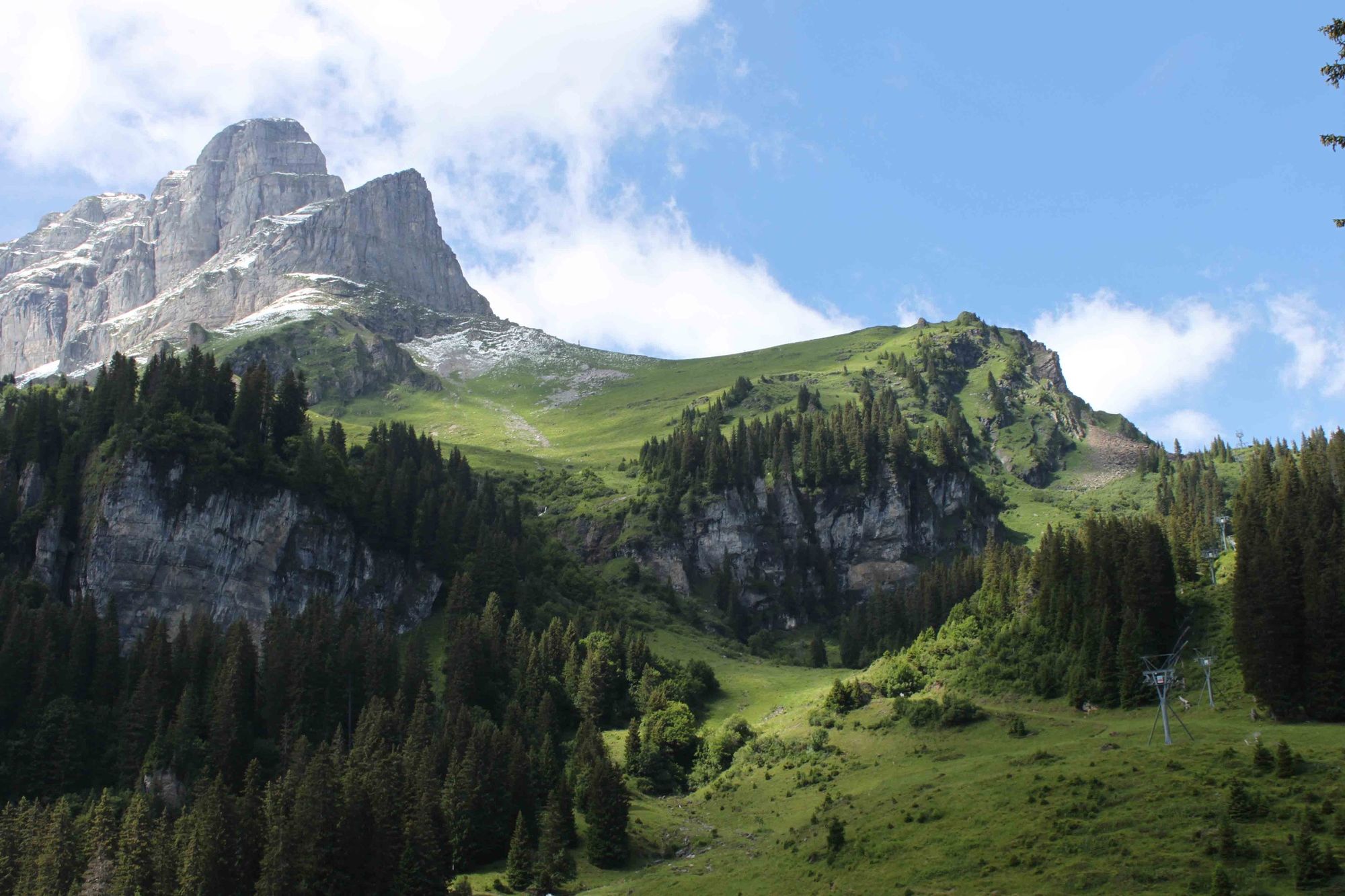
Braunwald Panoramic Hike is a relatively easy circular hike. Its view over the southern part of Glarnerland, with its characteristic mountains Ortstock and Tödi, impresses again and again.
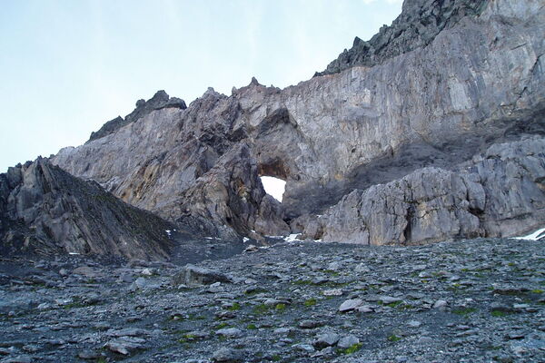
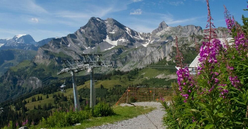
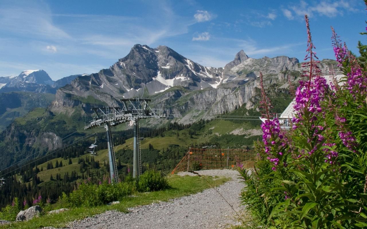
From Grotzenbüel the slightly ascending path takes you about 55 minutes to the Chnügrat (ascent 320 meters), offering you a magnificent view of the Bächital and the Glarus Alps. In 20 minutes you reach Seblengrat. Continue through a tunnel in the rock to Gumen. There are popular starting point for climbing adventures (via ferrata), as well as paragliding. You can also find a huge variety of plants in this area. Carry on via Ortstockhaus Bergrestaurant - the path leads slightly downhill in about 1 ½ hours back to Grotzenbüel.
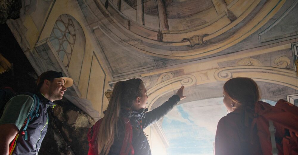
The Braunwald panoramic hike invites you to linger at various points and is guaranteed to offer an unforgettable hiking experience. Plenty of detours and attractions along the way, whether it's coffee and cake in the Gumen, Ortstockhaus or Chämistube Bergrestaurants, barbequeing on a fire-pit or a trip into the fairy tale kingdom of Bartli the Dwarf.
- Directions
-
From Braunwald you can reach the Hüttenberg station in about 10 minutes on foot. The gondola lift will take you to Grotzenbüel in 4 minutes, where you can start your tour.
- Highest point
- 1,909 m
- Endpoint
-
Chämistube Bergrestaurant at Grotzenbüel
- Height profile
-
 © outdooractive.com
 - Equipment
-
We recommend hiking boots or sturdy trekking shoes.
- Tips
-
Train experience: Shorten the hike with a ride up the Gumen. Botanical Reserve: Look out for the edelweiss, fire lilies, the white mountain lilies and the Turk's cap, which bloom in July.
- Additional information
- Directions
-
From Zurich or from Chur / Sargans it takes about 70 minutes via the freeway (A3). Take the exit Niederurnen (No. 44); then the main road in the direction of Glarus / Klausen (about 30km to the valley station Linthal).
- Public transportation
-
Direct train connections from Zurich HB to Linthal-Braunwaldbahn. With the S25 at .43 from Zurich HB. The train arrives at Linthal-Braunwaldbahn at .14, and connects at .25 with the funicular to Braunwald.
- Parking
-
Parking spaces as well as camper parking are available in the parking lot at the valley station of the Braunwald cable car in Linthal.
- Author
-
The tour Braunwald Panoramic Hike is used by outdooractive.com provided.


General info
-
Glarnerland
1971
-
Braunwald
764
-
Rüti GL
108