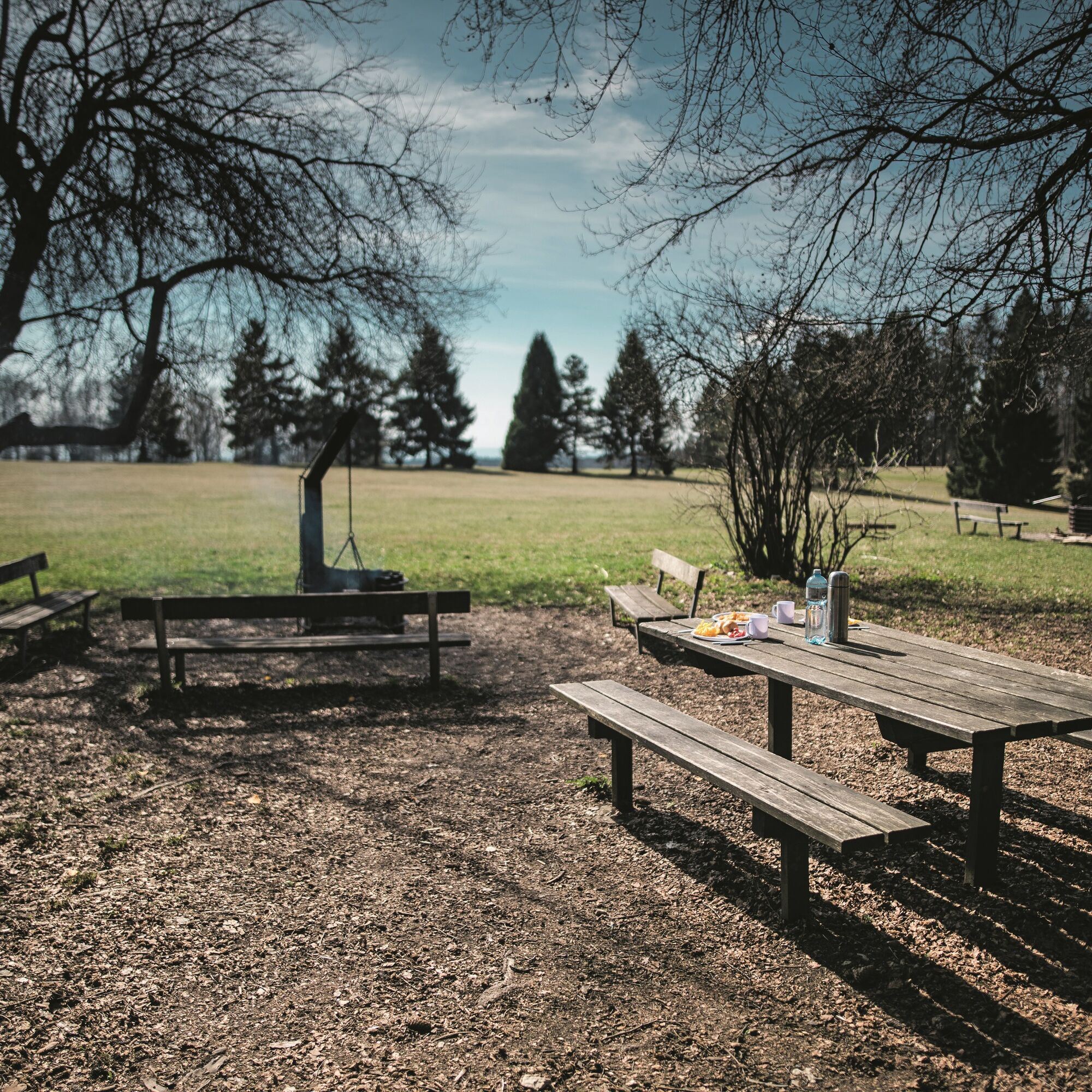
© Schaffhauserland Tourismus - Bruno Sternegg

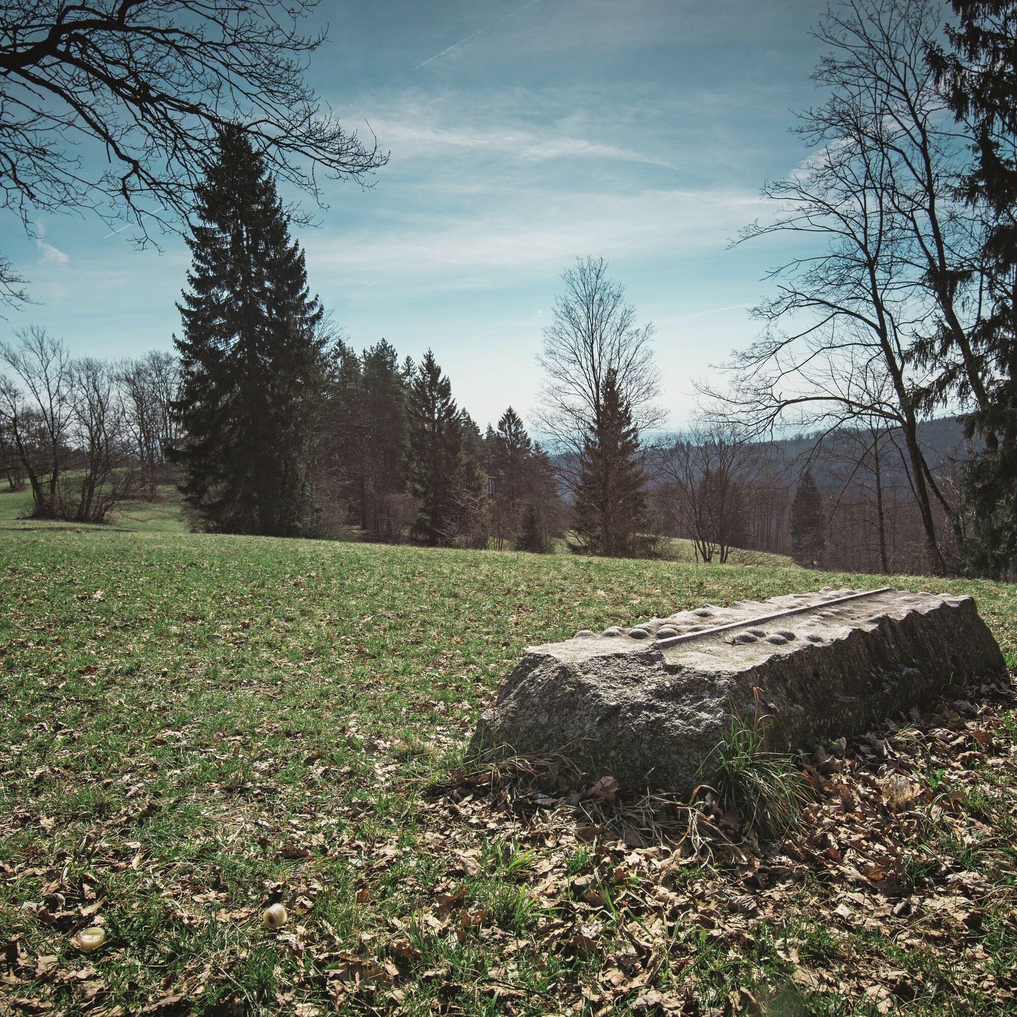
© Regionaler Naturpark Schaffhausen

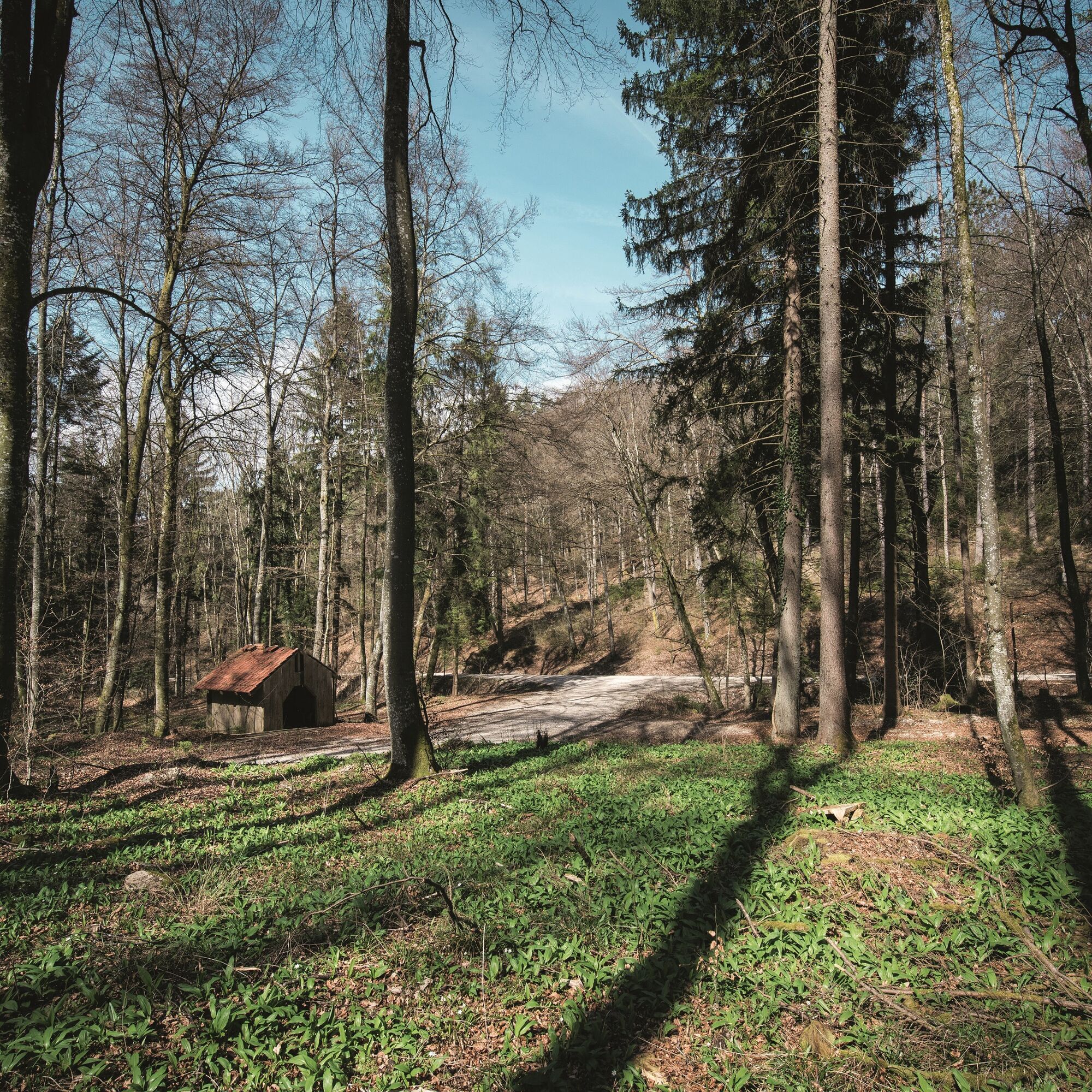
© Regionaler Naturpark Schaffhausen

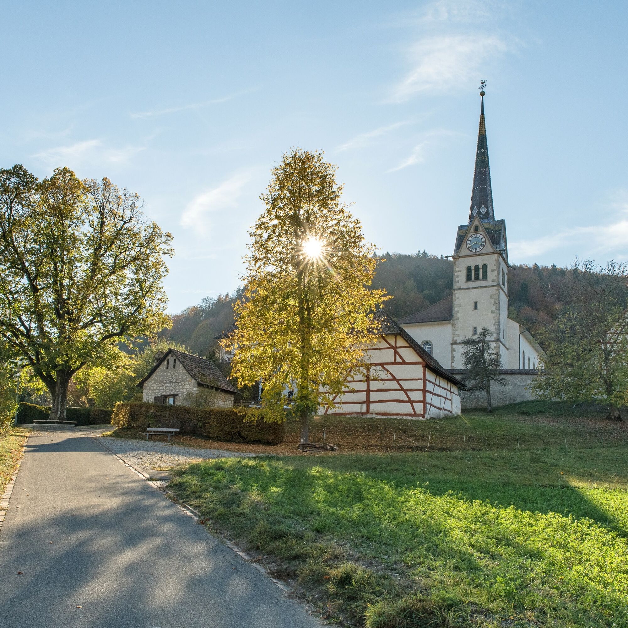
© Regionaler Naturpark Schaffhausen

© Schaffhauserland Tourismus - Bruno Sternegg

© Schaffhauserland Tourismus - Bruno Sternegg
- Brief description
-
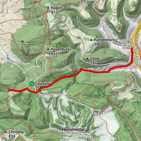
Täuferwege Schaffhausen: section Merishausen - Zelgli
- Difficulty
-
medium
- Rating
-
- Starting point
-
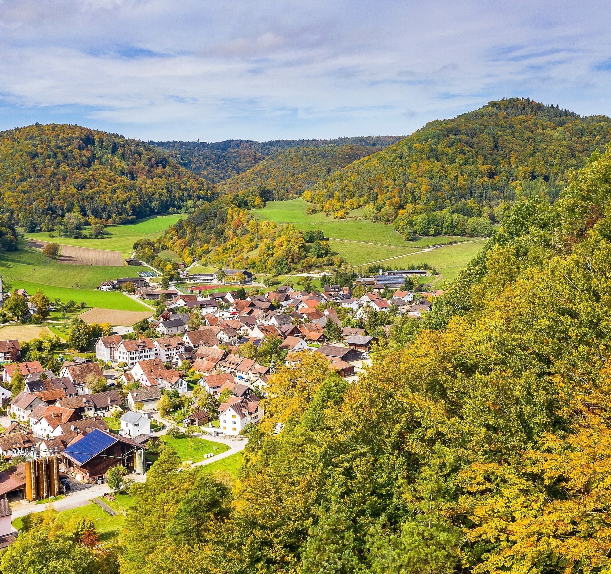
Merishausen village
- Route
-
Rest. Kranz0.0 kmMerishausen (533 m)0.0 kmZelgli5.5 km
- Best season
-
JanFebMarAprMayJunJulAugSepOctNovDec
- Description
-
Discover the historic paths over the Randen, which lead through pleasant forest valleys up to the wide Randen hill with the extensive Zelgli meadow. The names of the fields are still reminiscent of the time when the persecuted Anabaptists held their meetings in the shelter of the Randen.
- Highest point
- 867 m
- Endpoint
-
Zelgli
- Height profile
-
 © outdooractive.com
 - Equipment
-
Good shoes, drinks and snacks for in between.
- Tips
-
Schleitheimer Randenturm, Schleitheim (about 30 minutes on foot from the finish point)
- Additional information
- Arrival
- Public transportation
- Parking
-
Sporadic car parks available in Merishausen
- Author
-
The tour Täuferweg (Merishausen - Zelgli) is used by outdooractive.com provided.
GPS Downloads


Other tours in the regions
-
SchaffhauserLand
1023
-
Randen
544
-
Hemmental
166