© Unbekannt - Urs Brosy

© Unbekannt - Urs Brosy

© Unbekannt - Urs Brosy
- Brief description
-
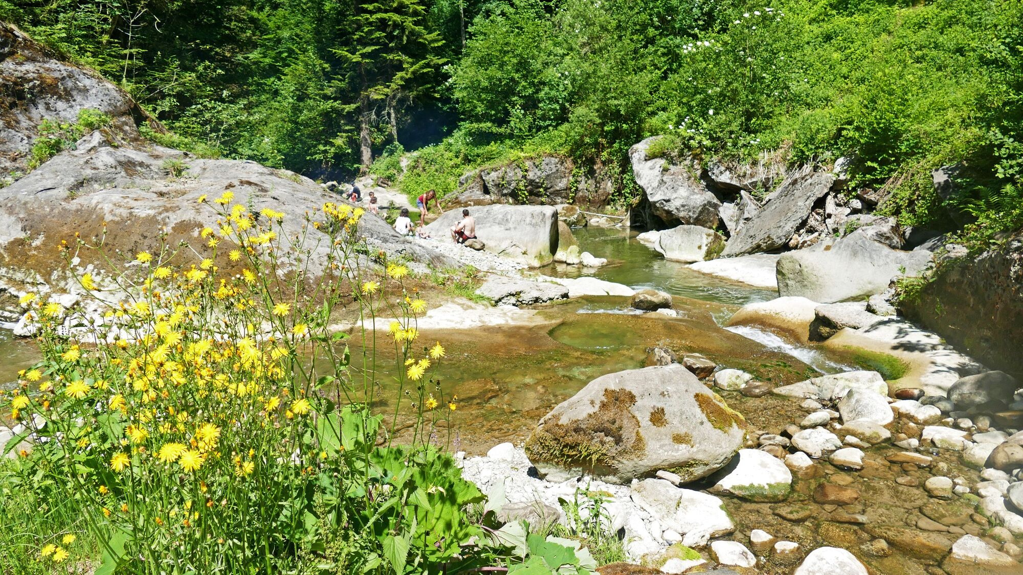
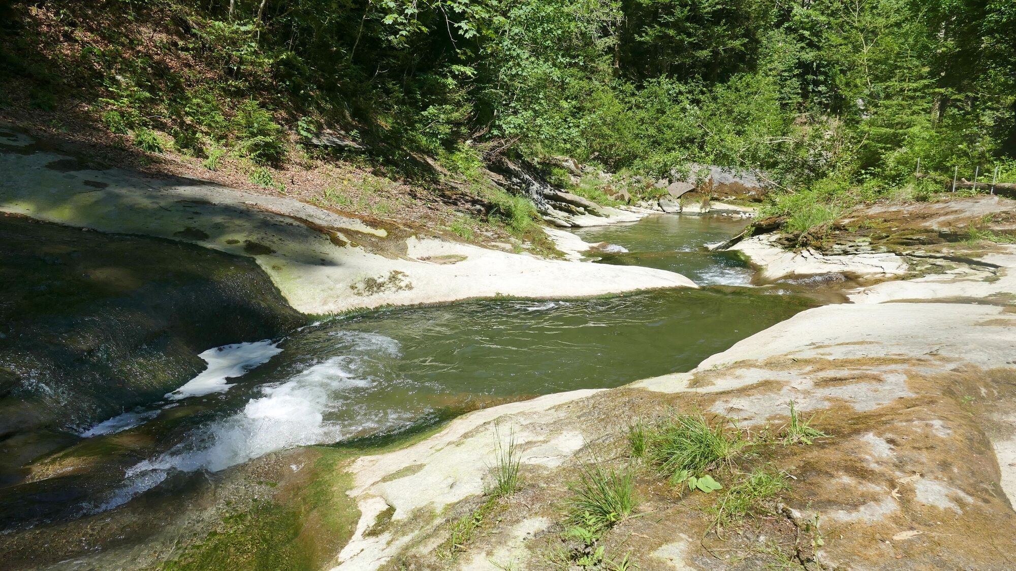
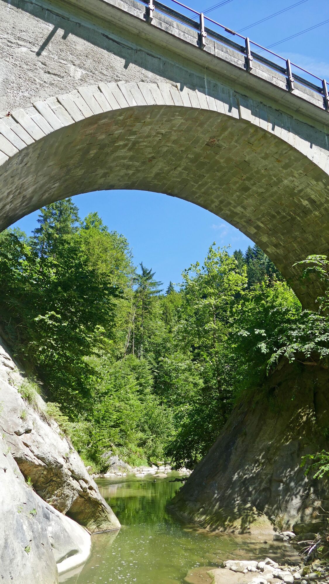
The hike leads partly through the water.
- Difficulty
-
medium
- Rating
-
- Route
-
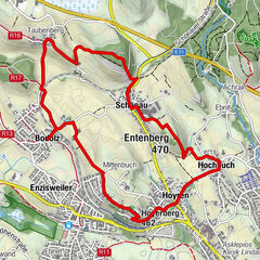
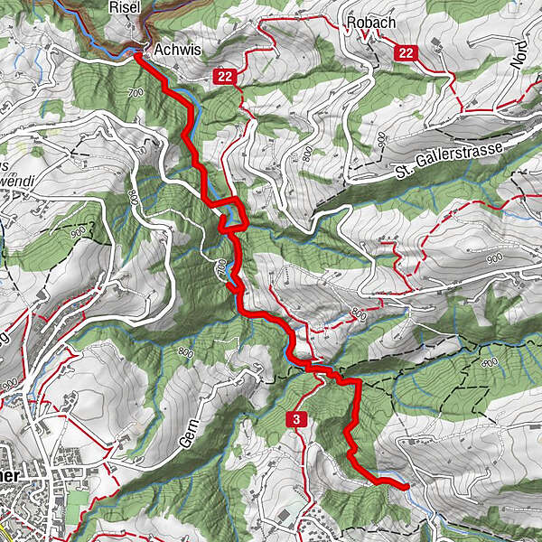
Chastenloch1.0 kmSankt Gallen (675 m)3.6 kmAchmüli3.6 kmRestaurant Achmühle3.6 km
- Best season
-
JanFebMarAprMayJunJulAugSepOctNovDec
- Description
-
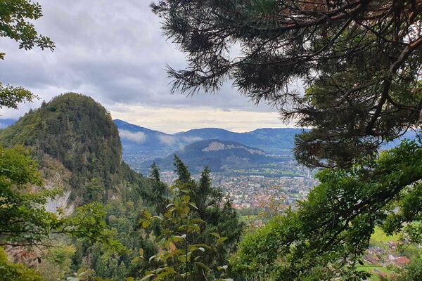
The route starts at the old bathing point in Trogen. On the first steep part of the hike, there are holds and ropes to hang onto in the rocks. It is possible to switch to the parallel hiking trail between the Chastenloch restaurant and Zweibruggen at any time. After that, the path becomes narrower, wilder and firmer again. The route ends at the Achmühle. From there you can walk up to Speicherschwendi or Eggersriet.
- Highest point
- 754 m
- Endpoint
-
Achmühle
- Height profile
-
 © outdooractive.com
- Author
-
The tour Gorge hike - Chastenloch is used by outdooractive.com provided.
GPS Downloads


Other tours in the regions
-
St. Gallen - Bodensee
2065
-
St. Gallen und Umgebung
726
-
Speicher
230