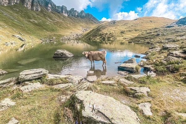
© Elm Ferienregion - Jasmin Schläpfer (Elm Ferienregion)

© Elm Ferienregion - Jasmin Schläpfer (Elm Ferienregion)

© Elm Ferienregion - Jasmin Schläpfer (Elm Ferienregion)

© Elm Ferienregion - Jasmin Schläpfer (Elm Ferienregion)

© Elm Ferienregion - Jasmin Schläpfer (Elm Ferienregion)

© Elm Ferienregion - Jasmin Schläpfer (Elm Ferienregion)

© Elm Ferienregion - Jasmin Schläpfer (Elm Ferienregion)

© Elm Ferienregion - Jasmin Schläpfer (Elm Ferienregion)

© Elm Ferienregion - Jasmin Schläpfer (Elm Ferienregion)
- Brief description
-
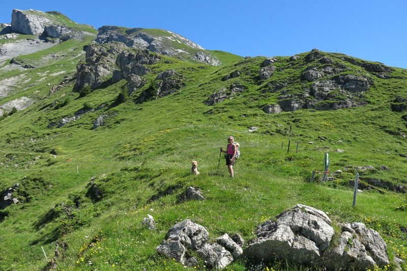
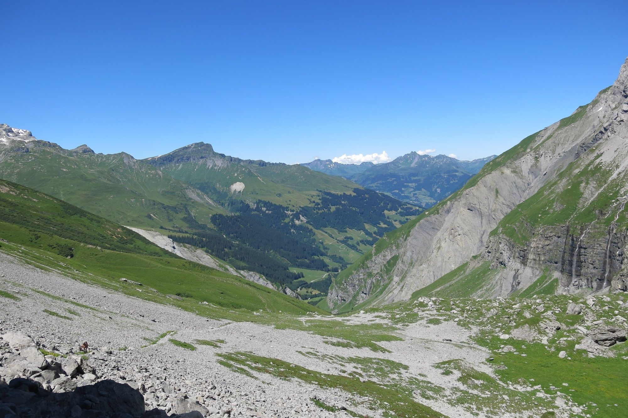
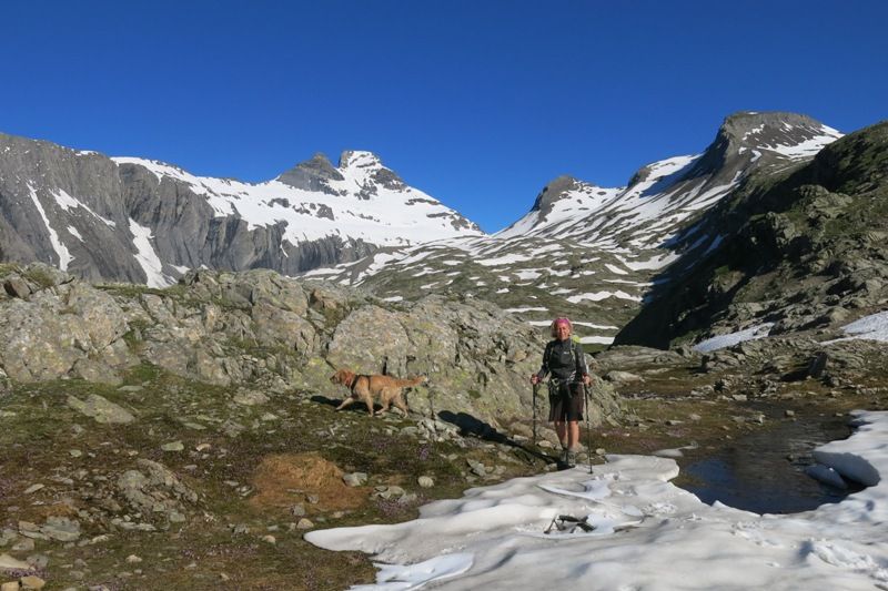
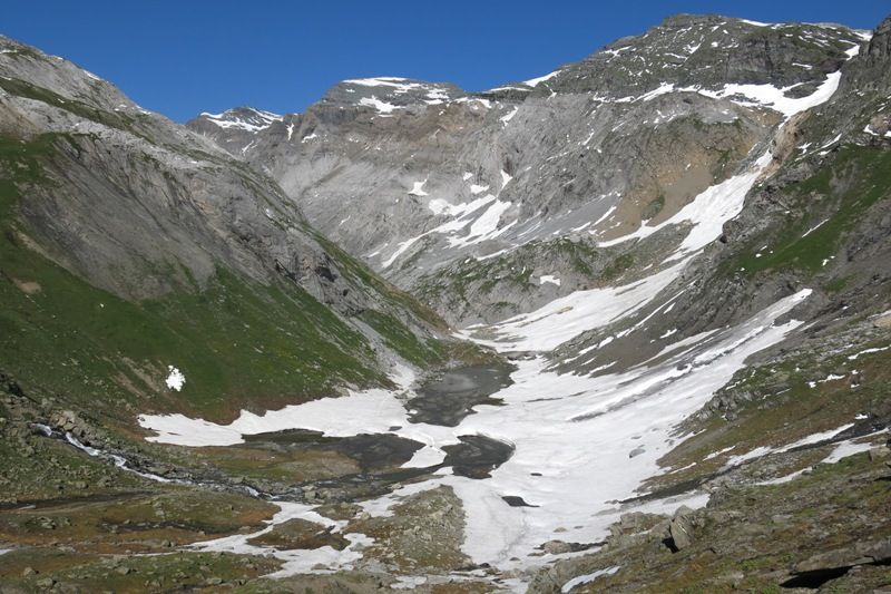
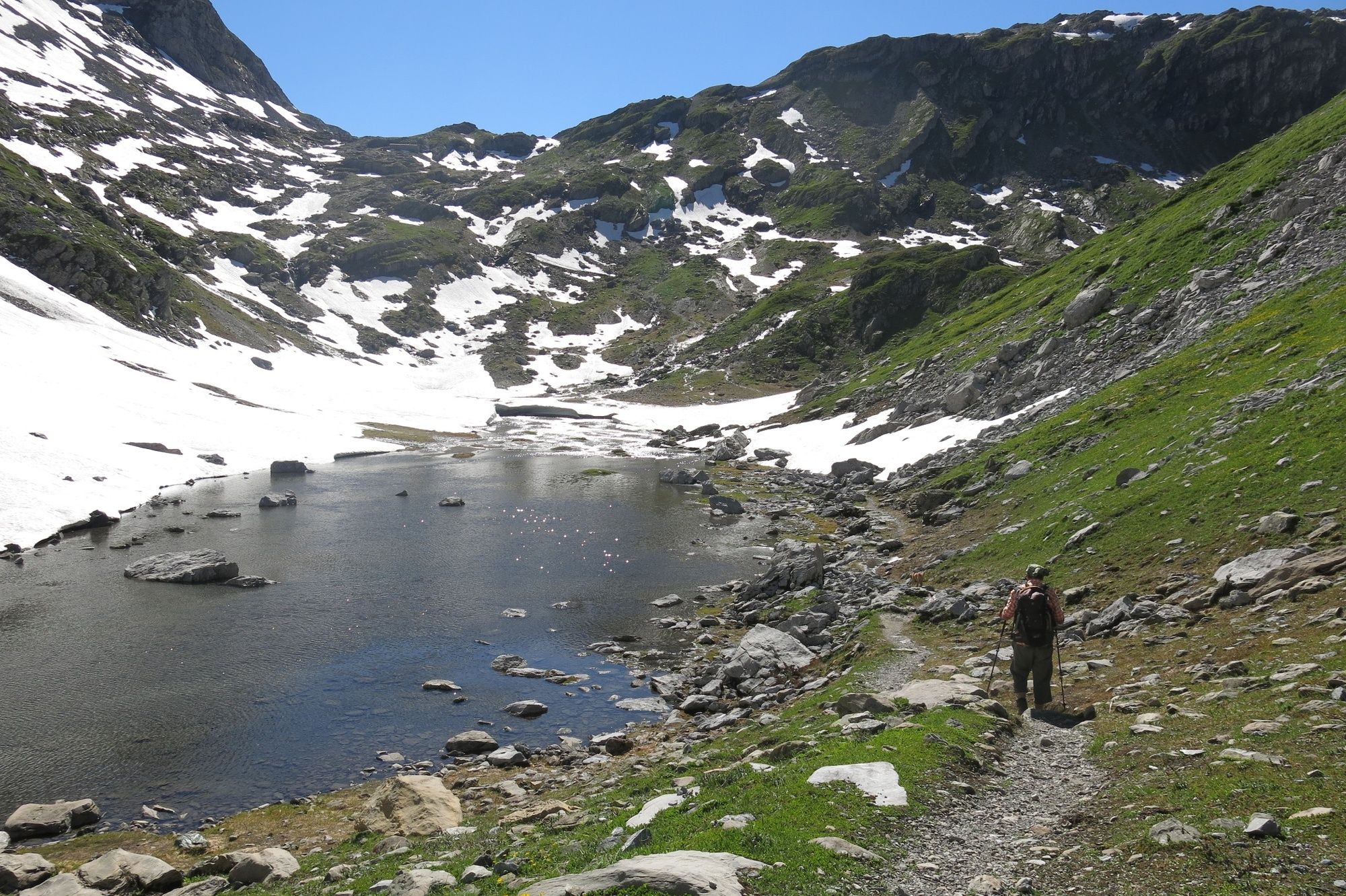
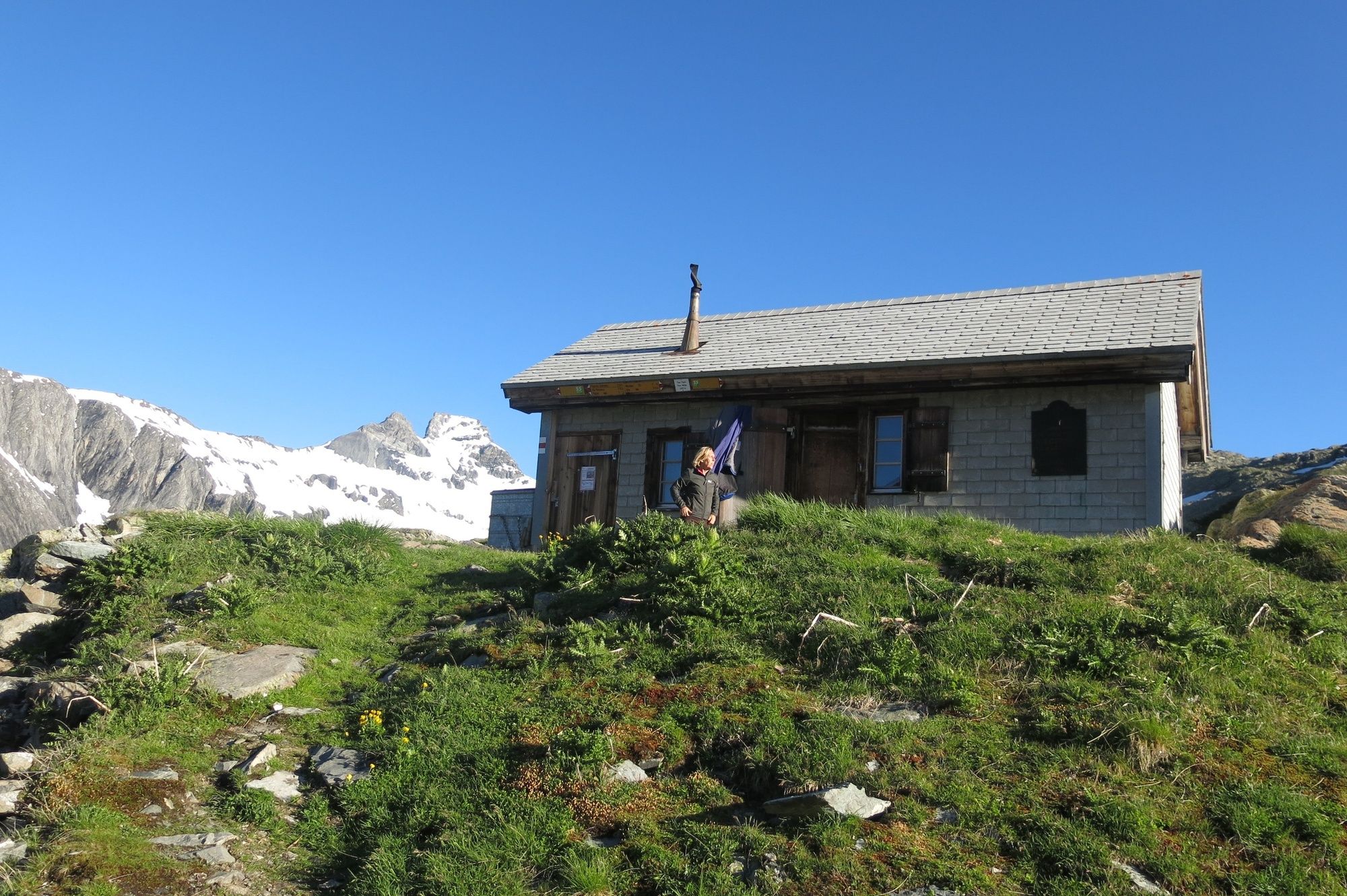
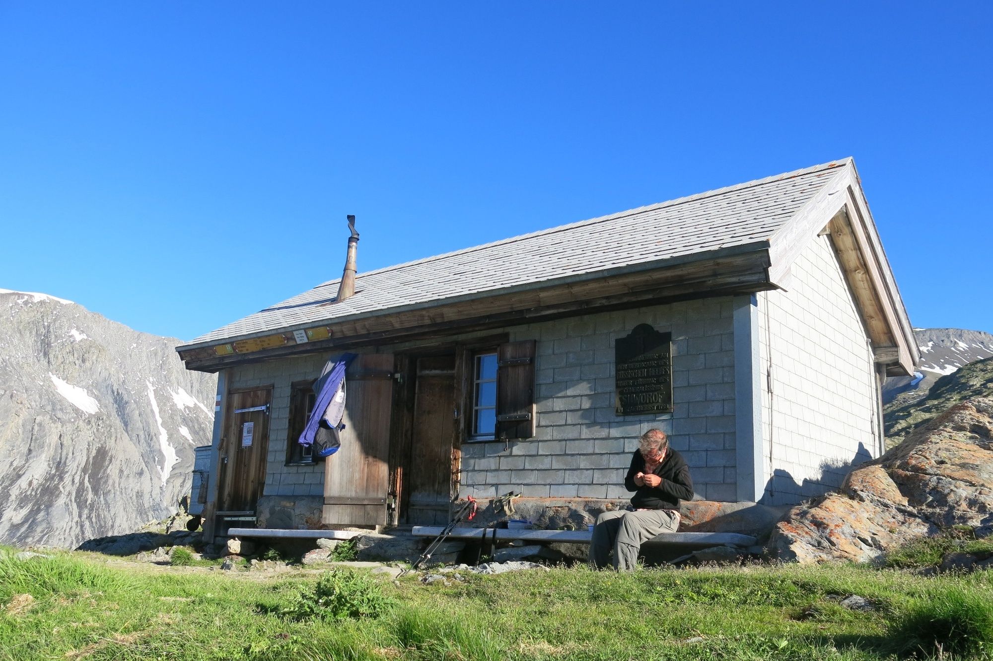
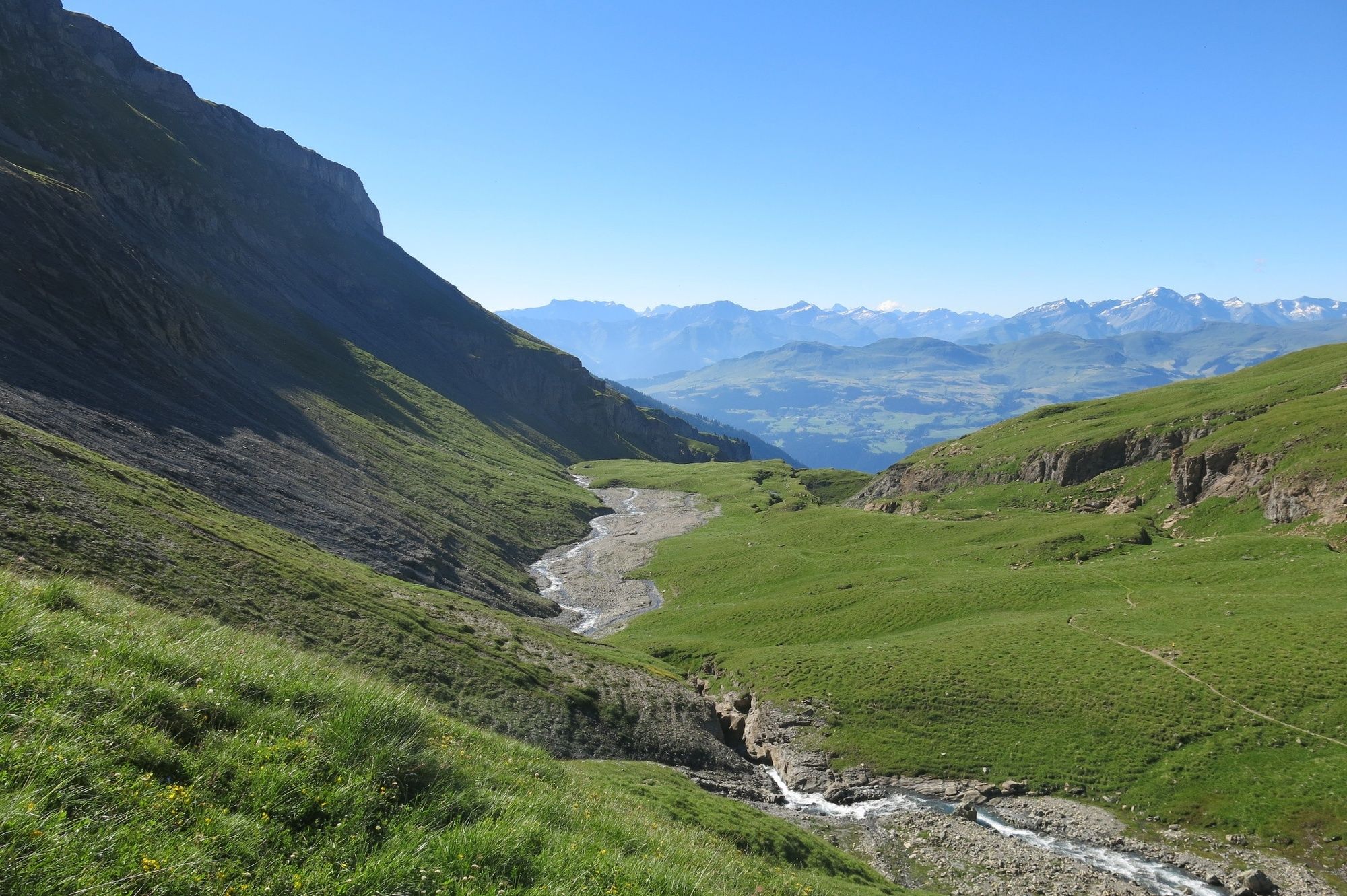
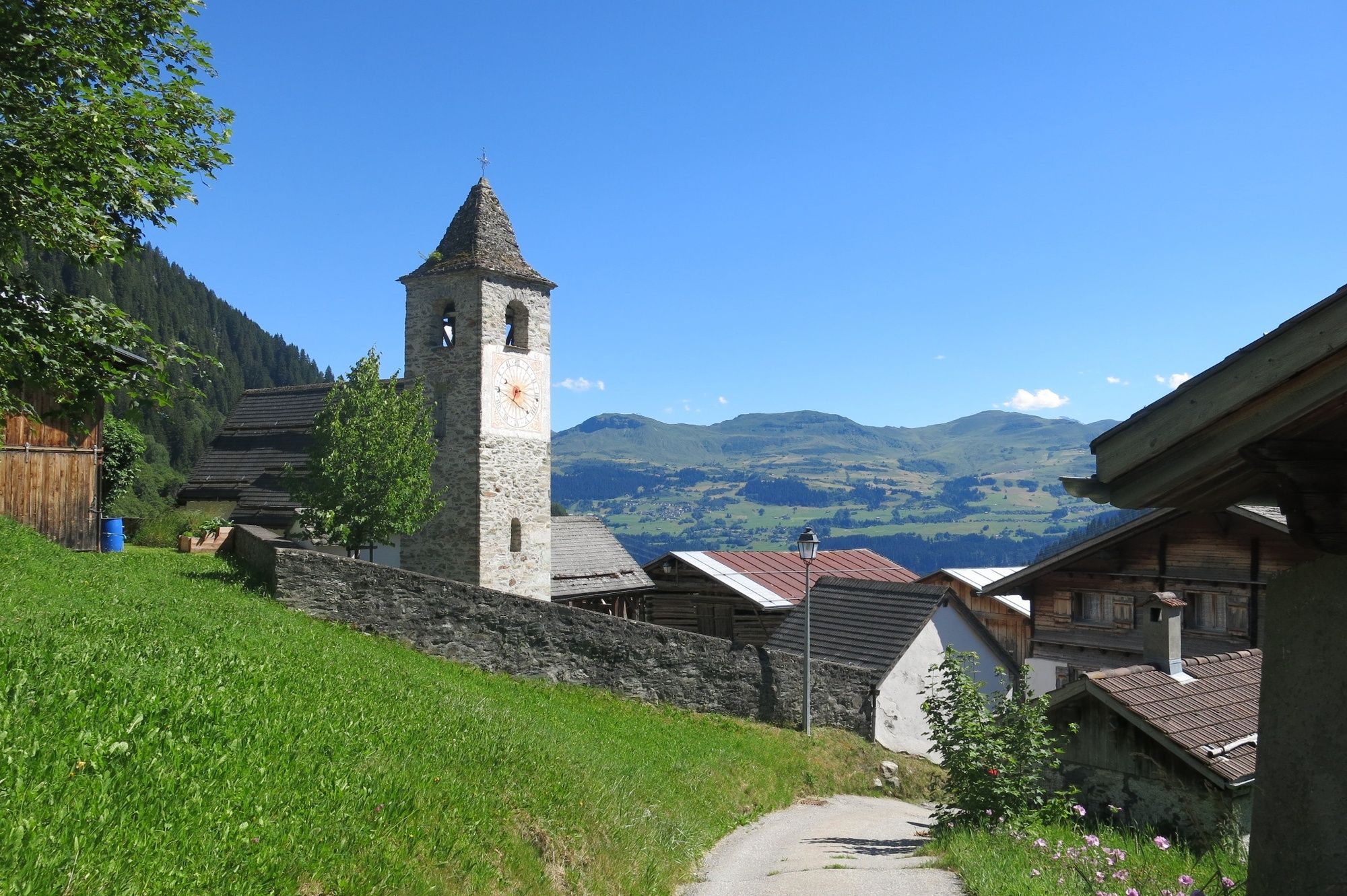
Der Panixerpass ist ein bekannter Übergang vom Glarnerland ins Bündnerland. In früheren Zeiten war das der einzige Ausgang nach Süden und es wurde reger Handel betrieben.
- Difficulty
-
difficult
- Rating
-
- Route
-
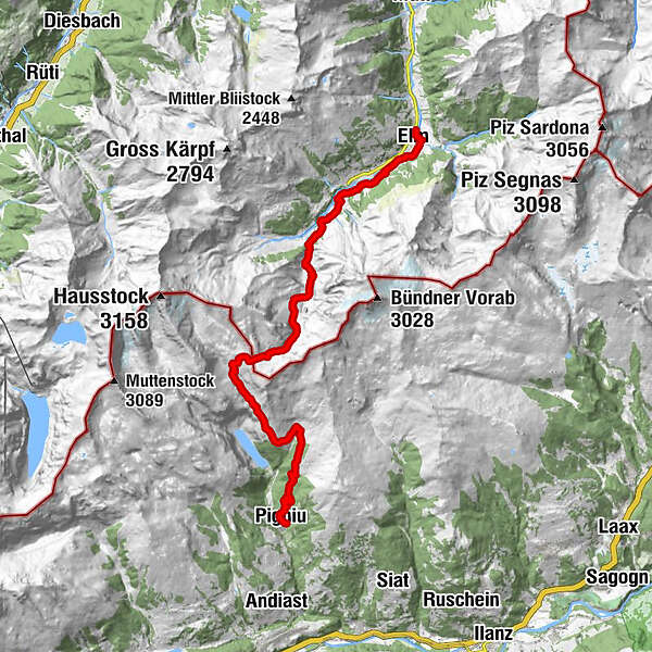
Gasthaus Sonne0.2 kmDörfli0.2 kmElm (977 m)0.3 kmEggli2.0 kmEgg2.4 kmElmen2.4 kmChüelaui2.8 kmVorderauen3.1 kmGeren3.5 kmJetzalp5.1 kmPanixerpass12.2 kmPanixerpasshütte12.4 kmCamona15.2 kmCasa Vedra22.5 kmSur Vischnaunca22.5 kmPanix (1,301 m)22.5 kmAlpina22.6 kmSogn Valentin Pigniu22.7 km
- Best season
-
JanFebMarAprMayJunJulAugSepOctNovDec
- Highest point
- 2,399 m
- Endpoint
-
Pigniu 1'301m ü. M.
- Height profile
-
 © outdooractive.com
- Author
-
The tour Panixerpass is used by outdooractive.com provided.
GPS Downloads


General info
Cultural/Historical
A lot of view
Other tours in the regions
-
Glarnerland
1972
-
Elm
773
-
Pigniu
221