- Brief description
-
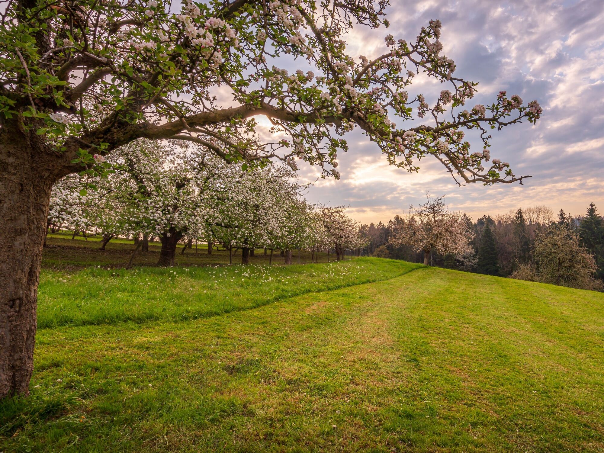
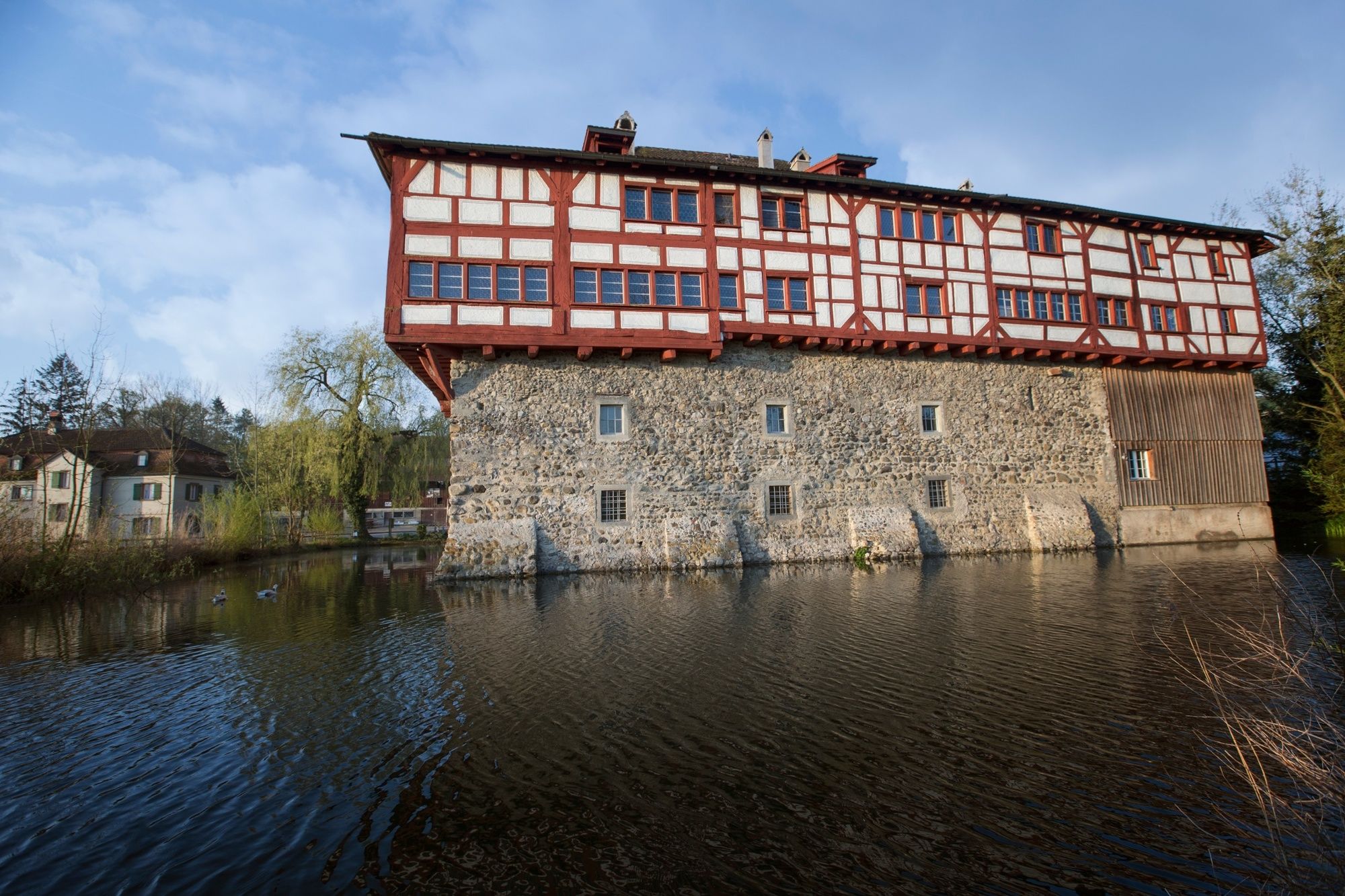
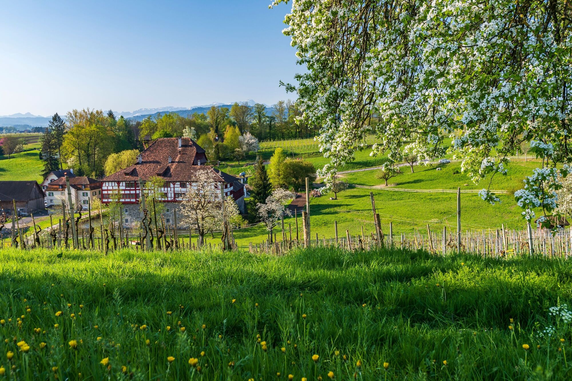
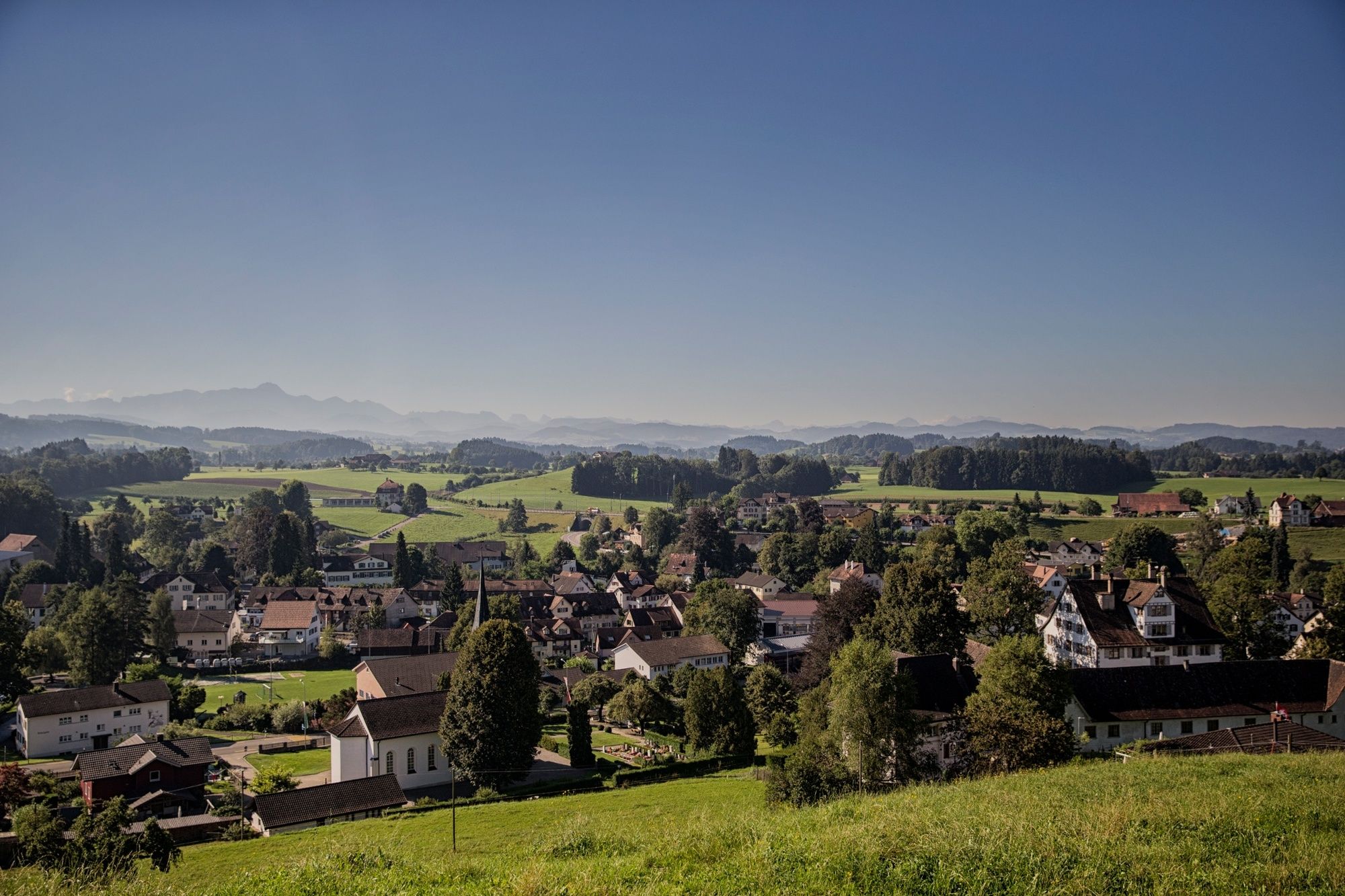
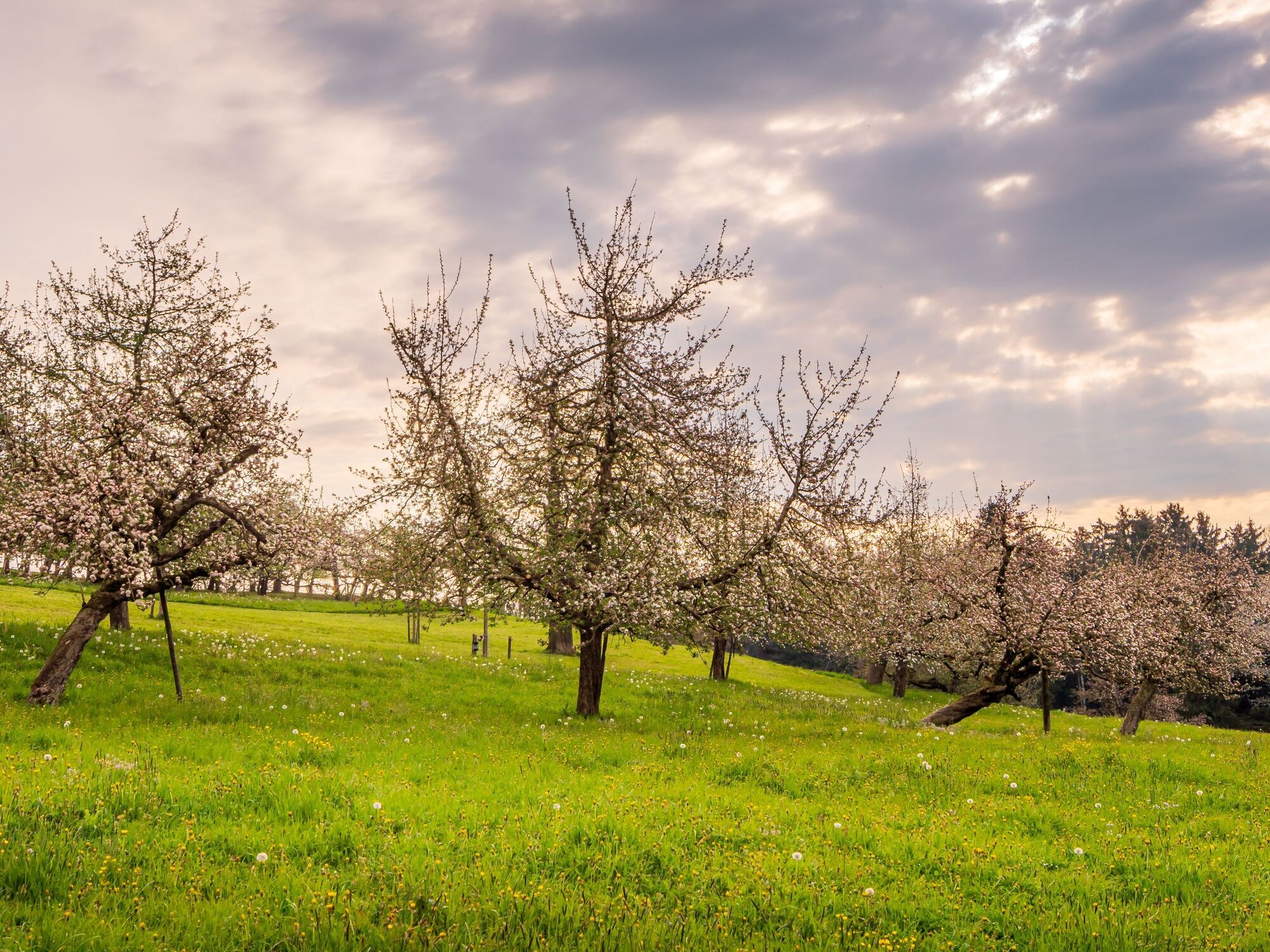
Der Thurgauer Panoramaweg ist geprägt von Streuobstwiesen und Naturschutzgebieten, besucht ein Wasserschloss, führt durch klassische Bauerndörfer und gut erhaltene Ortskerne.
- Difficulty
-
medium
- Rating
-
- Route
-
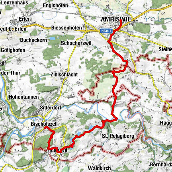
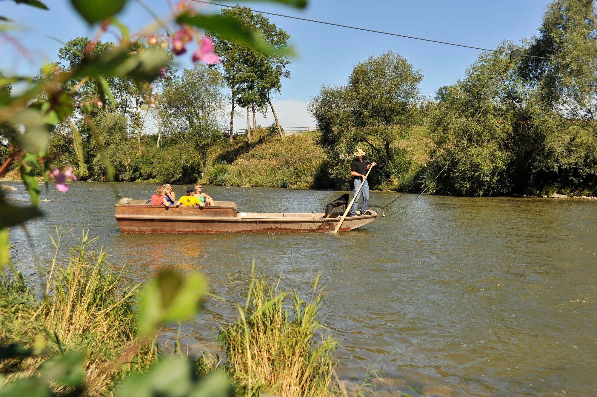
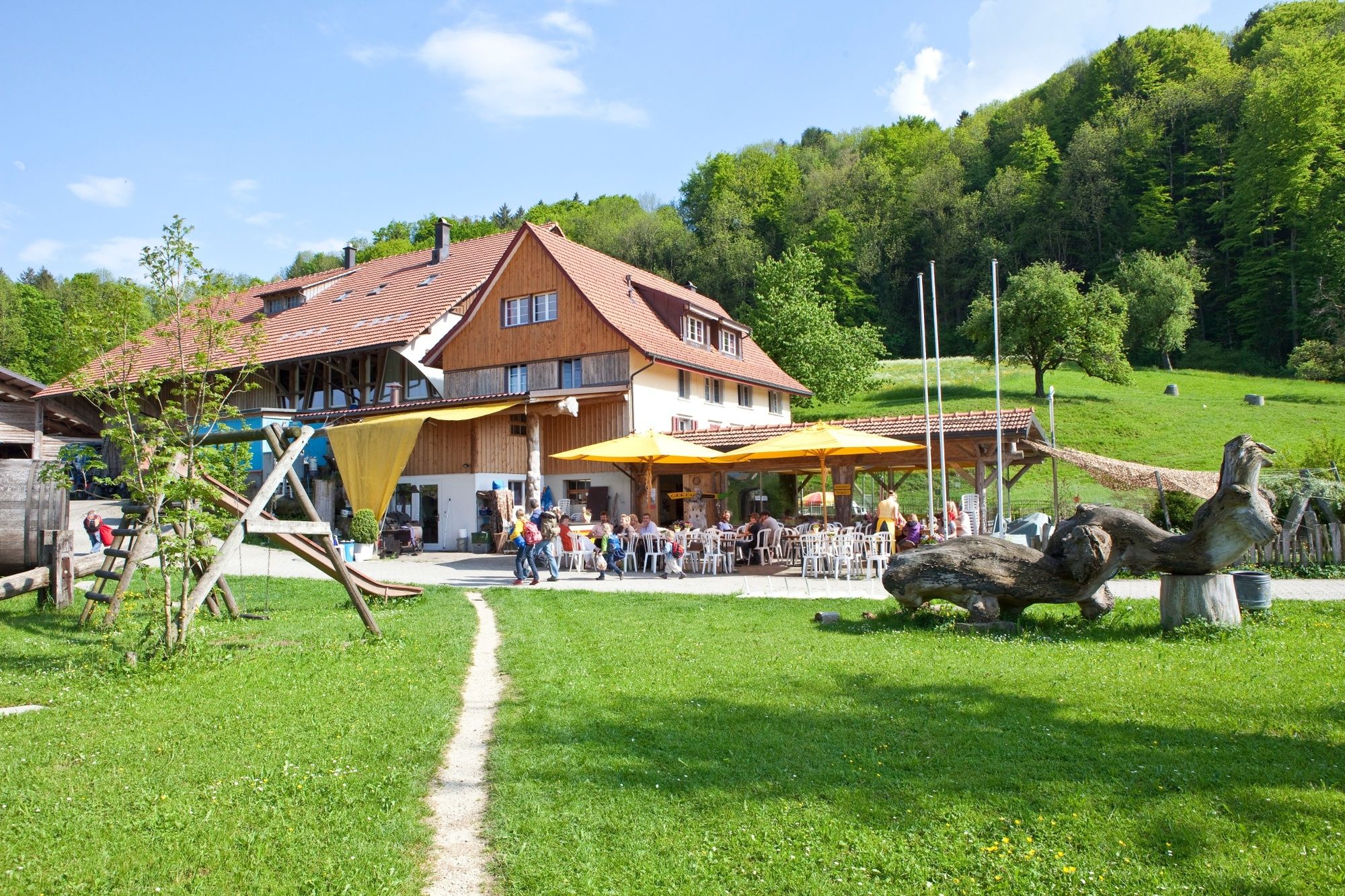
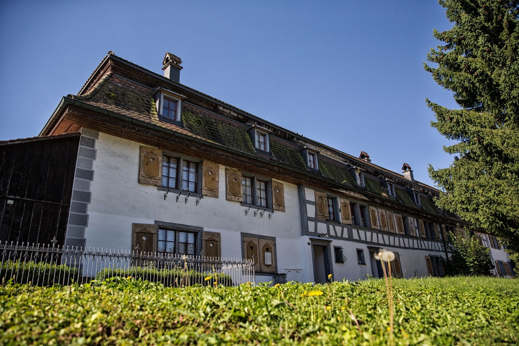
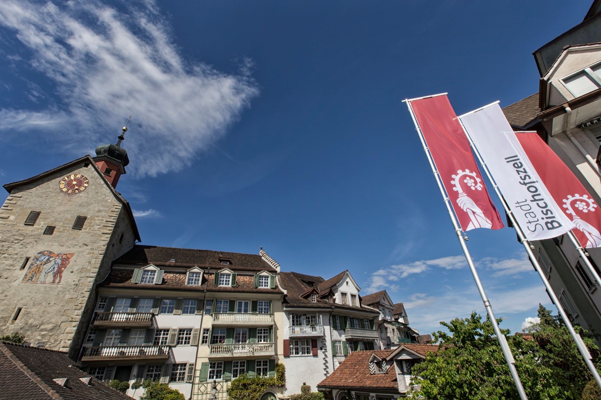
Amriswil (437 m)0.0 kmEvang.-Ref. Kirche Amriswil0.9 kmHagenwil b. Amriswil3.1 kmWasserschloss Hagenwil3.4 kmKatholische Kirche St. Johannes Baptist3.4 kmHueb4.2 kmHolzbifang5.4 kmBären6.0 kmRotzenwil6.0 kmHofstett-Blidegg6.5 kmSitterfähre Nord8.3 kmSitterfähre Süd8.3 kmGertau8.3 kmTobelmühle9.0 kmWilen (Gottshaus)10.0 kmHorb10.1 kmBeierhalden10.1 kmBirestil10.3 kmHauptwil13.6 kmSchloss Hauptwil13.7 kmWaldschenke14.5 kmBischofszell Stadt (506 m)16.3 kmBischofszell16.3 km
- Best season
-
JanFebMarAprMayJunJulAugSepOctNovDec
- Highest point
- 611 m
- Endpoint
-
Bischofszell, Bahnhof
- Height profile
-
 © outdooractive.com


- Author
-
The tour Thurgauer Panoramaweg (Amriswil – Bischofszell) is used by outdooractive.com provided.
GPS Downloads


General info
Refreshment stop
Other tours in the regions
-
Thurgau Bodensee
1426
-
Arbon
535
-
Zihlschlacht-Sitterdorf
78